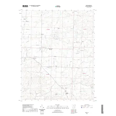
2020 Map of Zion
USGS Topo · Published 2020About this map
Melbourne serves as the central hub of this Izard County landscape, situated at the junction of State Hwy 69 Bus and State Hwy 289. The surrounding rural topography is defined by a dense network of local routes like Posson Trot Rd and La Crosse Rd, which connect small settlements such as LaCrosse, Zion, and Larkin. This 2020 map demonstrates a landscape deeply tied to its local heritage, evidenced by the numerous small burial grounds dispersed across the townships, including Old Philadelphia Cem and Caney Spring Cem.
Find a feature on this map
99 named features on this map. Tap any name to fly to it.
Don’t see what you’re looking for? This feature index may not catch every label — zoom into the map to look around manually.
Map Details
Editions of this 2020 Zion Map
This is the sole edition of this map. No revisions or reprints were ever made.
Other maps of this area

1890 · Batesville
USGS Topo · 1:125,000

1891 · Batesville
USGS Topo · 1:125,000

1942 · Mt Pleasant
USGS Topo · 1:31,680

1943 · Sandtown
USGS Topo · 1:24,000

1951 · Melbourne
USGS Topo · 1:62,500

1953 · Memphis
USGS Topo · 1:250,000

1956 · Memphis
USGS Topo · 1:250,000

1957 · Poplar Bluff
USGS Topo · 1:250,000

1959 · Poplar Bluff
USGS Topo · 1:250,000

1960 · Poplar Bluff
USGS Topo · 1:250,000