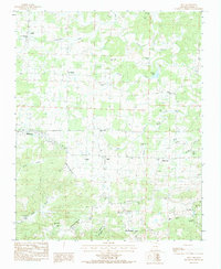
1984 Map of Zion
USGS Topo · Published 1984About this map
Piney Creek and its various forks dominate this 1980s landscape in Izard County, where small rural communities are connected by a network of unimproved roads and a notable Wooden Pole Trans Line. The map reveals a high density of burial grounds and rural houses of worship, such as Old Philadelphia Cem and Concord Ch, which provide significant points of interest for genealogical research in north-central Arkansas.
Find a feature on this map
47 named features on this map. Tap any name to fly to it.
Don’t see what you’re looking for? This feature index may not catch every label — zoom into the map to look around manually.
Map Details
Editions of this 1984 Zion Map
This is the sole edition of this map. No revisions or reprints were ever made.
Other maps of this area

1890 · Batesville
USGS Topo · 1:125,000

1891 · Batesville
USGS Topo · 1:125,000

1942 · Mt Pleasant
USGS Topo · 1:31,680

1943 · Sandtown
USGS Topo · 1:24,000

1951 · Melbourne
USGS Topo · 1:62,500

1953 · Memphis
USGS Topo · 1:250,000

1956 · Memphis
USGS Topo · 1:250,000

1957 · Poplar Bluff
USGS Topo · 1:250,000

1959 · Poplar Bluff
USGS Topo · 1:250,000

1960 · Poplar Bluff
USGS Topo · 1:250,000