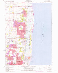
1960 Map of Zion
USGS Topo · Published 1973About this map
Zion and its lakefront neighbors occupy a landscape defined by the heavy infrastructure of the Chicago and North Western railroad and the natural contours of the Lake Michigan shoreline. In the early 1960s, the area maintained a balance between burgeoning suburban developments, indicated by schools like Jack Benny Jr High Sch and Holy Child High Sch, and preserved natural spaces such as Illinois Beach State Park.
Find a feature on this map
72 named features on this map. Tap any name to fly to it.
Don’t see what you’re looking for? This feature index may not catch every label — zoom into the map to look around manually.
Map Details
Editions of this 1960 Zion Map
3 editions found
Other maps of this area

1892 · Racine
USGS Topo · 1:62,500

1905 · Racine
USGS Topo · 1:62,500

1906 · Waukegan
USGS Topo · 1:62,500

1908 · Waukegan
USGS Topo · 1:62,500
1958 · Kenosha
USGS Topo · 1:24,000
1958 · Pleasant Prairie
USGS Topo · 1:24,000

1958 · Racine
USGS Topo · 1:250,000
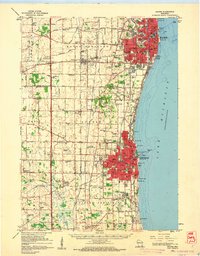
1959 · Racine
USGS Topo · 1:62,500
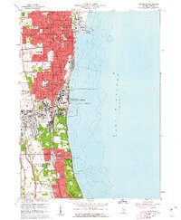
1960 · Waukegan
USGS Topo · 1:24,000
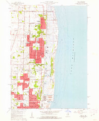
1960 · Zion
USGS Topo · 1:24,000