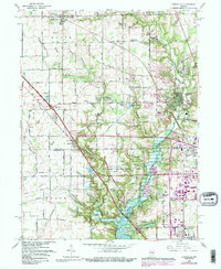
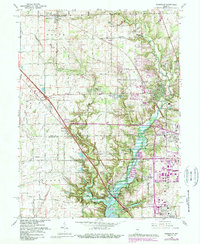
1966 Map of Zionsville
USGS Topo · Published 1988About this map
Eagle Creek Reservoir dominates the southern landscape of this mid-century Indiana survey, reflecting the significant water management and recreation infrastructure of the era. The mapping shows the expanding suburban reach from the south meeting the established agricultural and village patterns of Zionsville and Whitestown. Along the Central Indiana RR, local industry and transport are marked by features like the Gravel Pit and several grain elevators. The document captures a specific moment in the growth of Boone and Marion Counties, where family-named landmarks like Pitzer Cem and Holliday Lake persist alongside new residential developments like Northern Meadows and Legendary Hills. Religious and educational life is anchored by Macedonia Ch and Lincoln Jr High Sch, while the presence of several highway interchanges, including Interchange 129, indicates the shifting reliance on the interstate system over older rail corridors.
Find a feature on this map
86 named features on this map. Tap any name to fly to it.
Don’t see what you’re looking for? This feature index may not catch every label — zoom into the map to look around manually.
Map Details
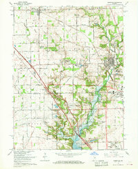
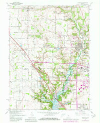
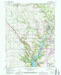
Editions of this 1966 Zionsville Map
5 editions found
Other maps of this area

1948 · Indianapolis West
USGS Topo · 1:24,000

1952 · Carmel
USGS Topo · 1:24,000

1953 · Westfield
USGS Topo · 1:24,000

1953 · Fayette
USGS Topo · 1:24,000

1953 · Rosston
USGS Topo · 1:24,000

1953 · Brownsburg
USGS Topo · 1:24,000

1953 · Zionsville
USGS Topo · 1:24,000

1953 · Lebanon
USGS Topo · 1:24,000

1953 · Clermont
USGS Topo · 1:24,000

1953 · Danville
USGS Topo · 1:250,000