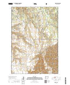
2020 Map of Zumwalt
USGS Topo · Published 2020About this map
Zumwalt sits at the southern end of a high-country landscape dominated by ranching infrastructure and drainage systems in Wallowa County. This portion of the Wallowa National Forest is defined by a series of parallel ridges, including Hilton Ridge, Cayuse Ridge, and Mitchell Ridge, which separate deep gulches and draws. Water management is central to the area's land use, as seen in the distribution of stock-water sources like Berland Reservoir, Thomason Meadow Reservoir, and Purvis Ponds. The map reveals a network of rural roads such as Pine Creek Rd and Fence Line Rd that navigate the high plateaus between Chesnimnus Cr and Camp Cr. This modern survey documents the contemporary boundaries of public and private lands, showing how the topography of Long Ridge and Vance Draw continues to dictate movement and agricultural settlement in this corner of Oregon.
Find a feature on this map
31 named features on this map. Tap any name to fly to it.
Don’t see what you’re looking for? This feature index may not catch every label — zoom into the map to look around manually.
Map Details
Editions of this 2020 Zumwalt Map
This is the sole edition of this map. No revisions or reprints were ever made.
Other maps of this area

1954 · Imnaha
USGS Topo · 1:62,500

1955 · Grangeville
USGS Topo · 1:250,000

1957 · Elk Mountain
USGS Topo · 1:62,500

1959 · Grangeville
USGS Topo · 1:250,000

1963 · Deadhorse Ridge
USGS Topo · 1:24,000

1963 · Poison Point
USGS Topo · 1:24,000
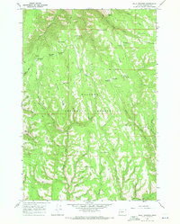
1967 · Billy Meadows
USGS Topo · 1:24,000

1980 · Grangeville
USGS Topo · 1:100,000

1982 · Wallowa
USGS Topo · 1:100,000

1990 · Imnaha
USGS Topo · 1:24,000