Old Maps of Georgiana, Alabama for Genealogy
Trace your family roots with 27 historic maps of Georgiana. These high-res maps reveal old neighborhoods, homesites, landmarks, and streets — helping you uncover where your ancestors lived and how the area evolved over time.
- Explore historic neighborhoods: Identify where your relatives may have lived in the 1800s or 1900s.
- Compare maps over time: Trace the changes in streets, buildings, and landmarks for multi-generational research.
- Perfect for genealogy & ancestry research: Used by family historians and researchers to map out lineage and migration.
These maps are an incredible resource for exploring your personal connection to Georgiana's past.
Georgiana, AL maps
(27)- 1953 Map of Andalusia, 1965 Print
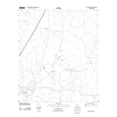
 1953 Andalusia1965 Print · USGSSouth Alabama in the mid-twentieth century remains a land of pine forests and river-fed settlements. You can trace the vital rail corridors of the Louisville & Nashville and locate regional centers such as Andalusia, Brewton, and Monroeville.3 unique versions available
 - 1957 Map of Andalusia
 1957 Andalusia1957 Print · USGSSouthern Alabama in the mid-1950s was a landscape defined by timbered stretches and the rhythmic flow of the Alabama River. Researchers can trace the legacy of the rail era through the Central of Georgia tracks and the storied river bluffs at Choctaw Bluff.
 - 1971 Map of Mc Kenzie, 1973 Print
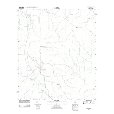
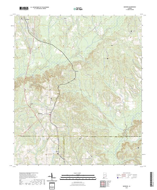
 1971 Mc Kenzie1973 Print · USGSButler County and the surrounding tri-county borderlands appear here in the early seventies, centered on the railroad town of Mc Kenzie. Genealogists can trace family locations through sites like South Butler Academy, Riley Cem, and Sweet Home Ch.2 unique versions available
 - 1971 Map of Georgiana East, 1973 Print
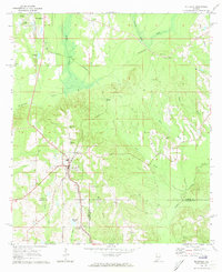
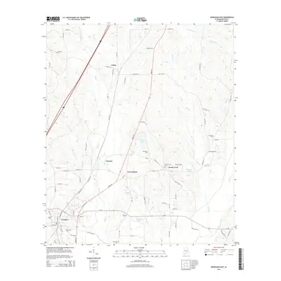
 1971 Georgiana East1973 Print · USGSButler County's rural landscape is captured here in the early seventies, showing a network of creek-side settlements and country roads. Genealogists and historians can locate family landmarks such as Stamps Cem, Providence, and Mt Pisgah Ch.3 unique versions available
 - 1971 Map of Garland, 1974 Print
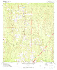
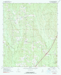
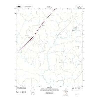
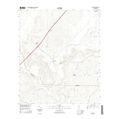
 1971 Garland1974 Print · USGSButler and Conecuh Counties appear here in the early 1970s, as rural life centered on the Sepulga River and the Louisville and Nashville railroad. Genealogists can trace family names at Sellers Cem, McClure Cem, and small congregations like St John Ch.2 unique versions available
 - 1971 Map of Georgiana West, 1991 Print
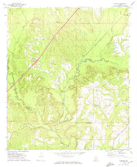
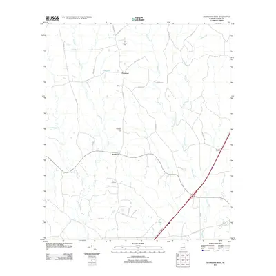
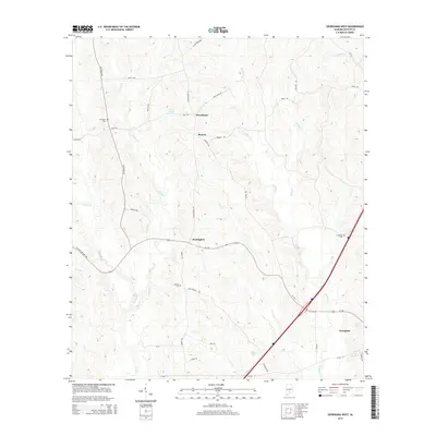
 1971 Georgiana West1991 Print · USGSButler County as it appeared in the early seventies shows the established rural life and road networks surrounding Georgiana. Genealogists and historians can trace family roots through landmarks like Stamps Cem, Morrow Ch, and the community at Starlington.
 - 1986 Map of Greenville
 1986 Greenville1986 Print · USGSMid-century South Central Alabama comes alive in this survey of the creek-laced timberlands and rail-dependent towns between the Gulf Coastal Plain and the Piedmont. Researchers can trace family roots through numerous country landmarks like Magnolia Cem, Spring Hill Ch, and the Butler County State Wildlife Management Area.2 unique versions available
 - 2011 Map of Georgiana East, 2011 Print
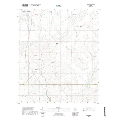
 2011 Georgiana East2011 Print · USGSCovers Georgiana, including Bolling, Brushy Creek, and other nearby areas
 - 2011 Map of Georgiana West, 2011 Print
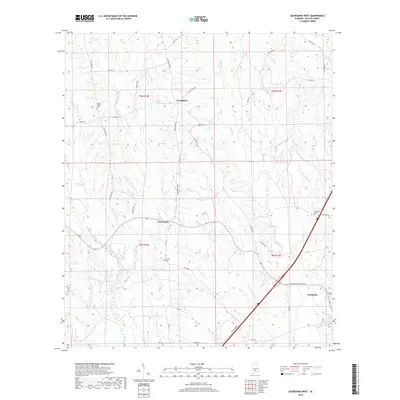
 2011 Georgiana West2011 Print · USGSCovers Georgiana, including Providence, Beacon, and other nearby areas
 - 2011 Map of McKenzie, 2011 Print
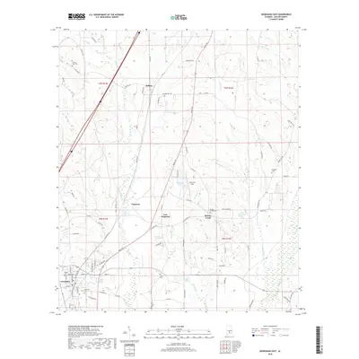
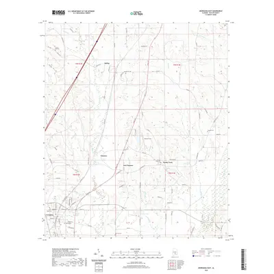
 2011 McKenzie2011 Print · USGSCovers Georgiana, including McKenzie, Shell, and other nearby areas
 - 2011 Map of Garland, 2011 Print
 2011 Garland2011 Print · USGSCovers Georgiana, including Garland, Salter, and other nearby areas
 - 2014 Map of Georgiana East, 2014 Print
 2014 Georgiana East2014 Print · USGSCovers Georgiana, including Bolling, Brushy Creek, and other nearby areas
 - 2014 Map of Garland, 2014 Print
 2014 Garland2014 Print · USGSCovers Georgiana, including Garland, Salter, and other nearby areas
 - 2014 Map of McKenzie, 2014 Print
 2014 McKenzie2014 Print · USGSCovers Georgiana, including McKenzie, Shell, and other nearby areas
 - 2014 Map of Georgiana West, 2014 Print
 2014 Georgiana West2014 Print · USGSCovers Georgiana, including Providence, Beacon, and other nearby areas
 - 2018 Map of McKenzie, 2018 Print
 2018 McKenzie2018 Print · USGSCovers Georgiana, including McKenzie, Shell, and other nearby areas
 - 2018 Map of Georgiana West, 2018 Print
 2018 Georgiana West2018 Print · USGSCovers Georgiana, including Providence, Beacon, and other nearby areas
 - 2018 Map of Garland, 2018 Print
 2018 Garland2018 Print · USGSCovers Georgiana, including Garland, Salter, and other nearby areas
 - 2018 Map of Georgiana East, 2018 Print
 2018 Georgiana East2018 Print · USGSCovers Georgiana, including Bolling, Brushy Creek, and other nearby areas
 - 2020 Map of Georgiana East, 2020 Print
 2020 Georgiana East2020 Print · USGSCovers Georgiana, including Bolling, Brushy Creek, and other nearby areas
 - 2020 Map of Georgiana West, 2020 Print
 2020 Georgiana West2020 Print · USGSCovers Georgiana, including Providence, Beacon, and other nearby areas
 - 2020 Map of McKenzie, 2020 Print
 2020 McKenzie2020 Print · USGSCovers Georgiana, including McKenzie, Shell, and other nearby areas
 - 2020 Map of Garland, 2020 Print
 2020 Garland2020 Print · USGSCovers Georgiana, including Garland, Salter, and other nearby areas
 - 2024 Map of McKenzie, 2024 Print
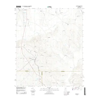
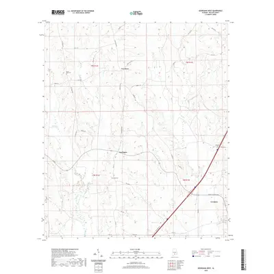
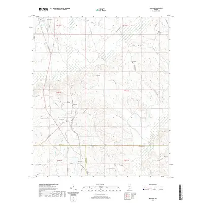
 2024 McKenzie2024 Print · USGSMcKenzie and Georgiana stand at the center of this rural Alabama landscape where three counties converge. Genealogists can trace family roots through several local landmarks like South Butler Cem, Wesley Chapel Cem, and Sweet Home Baptist Church.
 - 2024 Map of Garland, 2024 Print
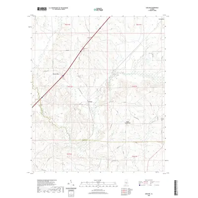
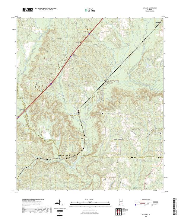 2024 Garland2024 Print · USGSButler County in the current decade remains a land of river junctions and quiet crossroads. Genealogists can trace family lineages across numerous burial sites like Pressley Cem and Pleasant Hill Cem near the historic community of Garland.
Showing maps 1-25 of 27
Top cities near Georgiana
- Greenville historical maps
- Evergreen historical maps
- McKenzie historical maps
- Red Level historical maps
- Pine Apple historical maps
Frequently asked questions
- What are the different types of historical maps available for Georgiana?
- What is the oldest map of Georgiana?
- Where can I purchase historical maps of Georgiana for my home or office?
- Where can I download high-res historical maps of Georgiana?
- Are there historical topographic maps available for Georgiana?
- Is there historical aerial imagery available for Georgiana?
- Where are historical maps of Georgiana sourced from?