2020s Maps of Franklin County, Alabama
Explore 36 historic maps of Franklin County from the 2020s. These maps offer a rare glimpse into what life looked like during the 2020s — showing old roads, neighborhoods, homes, and landmarks that have changed or disappeared over time.
Whether you're researching your family's past, planning a metal detecting trip, or studying how Franklin County's landscape evolved across the 2020s, these high-resolution maps are a powerful tool for exploring the history of this region.
- Focus on a specific era: All maps on this page are from the 2020s, giving you a focused view of this time period.
- See what’s changed: Compare century-old streets, trails, and buildings to today's modern landscape using overlays and satellite layers.
- Research with precision: Use these maps for genealogy, historical research, land use analysis, or educational projects.
- View, download, or print: Maps are fully viewable online in high resolution, and can be downloaded or printed for your own records.
Start exploring Franklin County's history through authentic maps from the 2020s. This is your window into the past.
Franklin County, AL maps
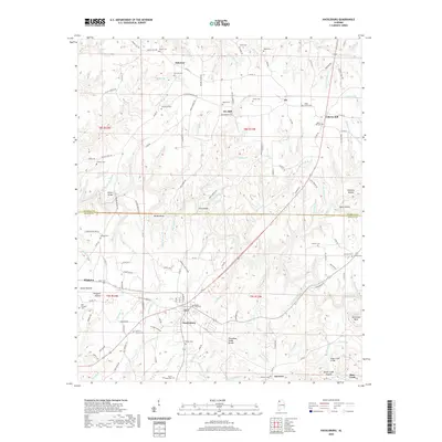
(36)- 2020 Map of Halltown, 2020 Print
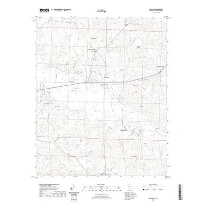 2020 Halltown2020 Print · USGSCovers Franklin County, including Red Bay, Vina, and other nearby areas
 - 2020 Map of Red Bay, 2020 Print
 2020 Red Bay2020 Print · USGSCovers Franklin County, including Red Bay, Belmont, and other nearby areas
 - 2020 Map of Shottsville, 2020 Print
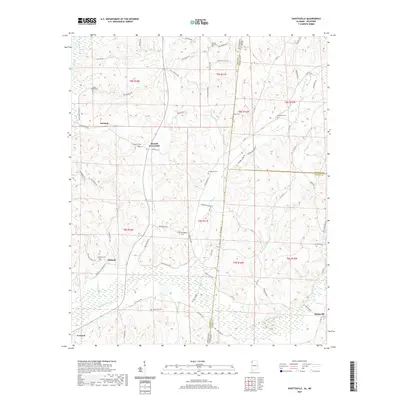 2020 Shottsville2020 Print · USGSCovers Franklin County, including Tremont, Oakland, and other nearby areas
 - 2020 Map of Vina, 2020 Print
 2020 Vina2020 Print · USGSCovers Franklin County, including Vina, Marion County, and other nearby areas
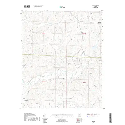
 - 2020 Map of Pleasant Site, 2020 Print
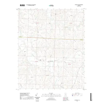 2020 Pleasant Site2020 Print · USGSCovers Franklin County, including Pleasant Site, Pogo, and other nearby areas
 - 2020 Map of Hodges, 2020 Print
 2020 Hodges2020 Print · USGSCovers Franklin County, including Hackleburg, Hodges, and other nearby areas
 - 2020 Map of Old Bethel, 2020 Print
 2020 Old Bethel2020 Print · USGSCovers Franklin County, including La Grange, Bethsaida, and other nearby areas
 - 2020 Map of Pleasant Grove, 2020 Print
 2020 Pleasant Grove2020 Print · USGSCovers Franklin County, including Pleasant Grove, White Oak Community, and other nearby areas
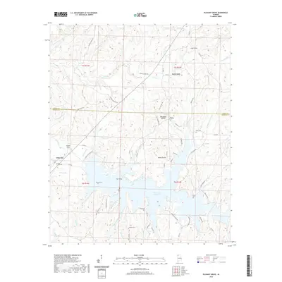
 - 2020 Map of Guinn Cross Roads, 2020 Print
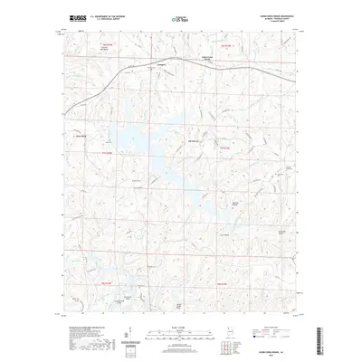 2020 Guinn Cross Roads2020 Print · USGSCovers Franklin County, including Guinn Cross Roads, Dempsey, and other nearby areas
 - 2020 Map of Hackleburg, 2020 Print
 2020 Hackleburg2020 Print · USGSCovers Franklin County, including Hackleburg, Bear Creek, and other nearby areas
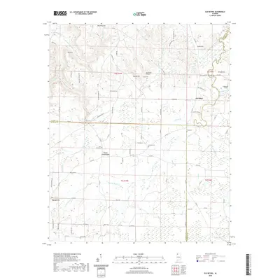
 - 2020 Map of Isbell, 2020 Print
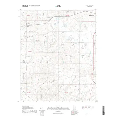 2020 Isbell2020 Print · USGSCovers Franklin County, including Russellville, Belgreen, and other nearby areas
 - 2020 Map of Phil Campbell, 2020 Print
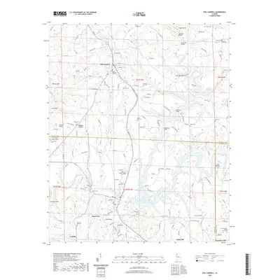 2020 Phil Campbell2020 Print · USGSCovers Franklin County, including Haleyville, Bear Creek, and other nearby areas
 - 2020 Map of Russellville, 2020 Print
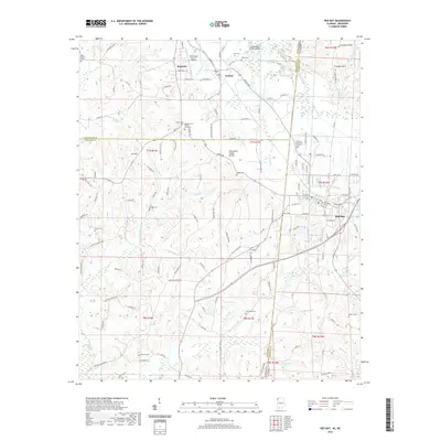
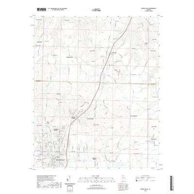 2020 Russellville2020 Print · USGSCovers Franklin County, including Russellville, Littleville, and other nearby areas
 - 2020 Map of Frankfort, 2020 Print
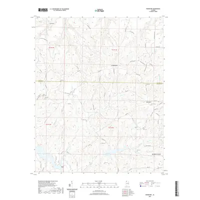 2020 Frankfort2020 Print · USGSCovers Franklin County, including Russellville, Jonesboro, and other nearby areas
 - 2020 Map of Spruce Pine, 2020 Print
 2020 Spruce Pine2020 Print · USGSCovers Franklin County, including Russellville, Spruce Pine, and other nearby areas
 - 2021 Map of Belmont, 2021 Print
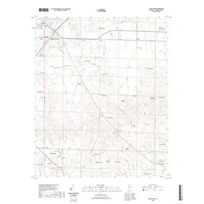
 2021 Belmont2021 Print · USGSCovers Franklin County, including Belmont, Dennis, and other nearby areas
 - 2021 Map of Kinlock Spring, 2021 Print
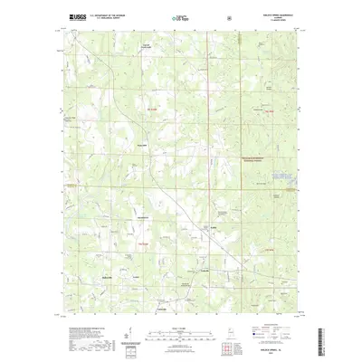 2021 Kinlock Spring2021 Print · USGSCovers Franklin County, including Haleyville, Forkville, and other nearby areas
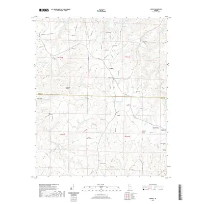
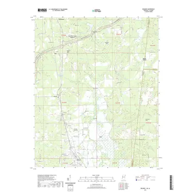
 - 2021 Map of Newburg, 2021 Print
 2021 Newburg2021 Print · USGSCovers Franklin County, including Newburg, Oak Grove, and other nearby areas
 - 2024 Map of Shottsville, 2024 Print
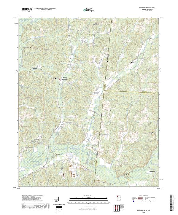 2024 Shottsville2024 Print · USGSModern Marion County and the Mississippi borderlands come to life here, showing the enduring rural network of Alabama's northwest corner. Researchers can trace family history through a dozen burial sites like Spearman Cem and Donham Cem near Shottsville.
 - 2024 Map of Halltown, 2024 Print
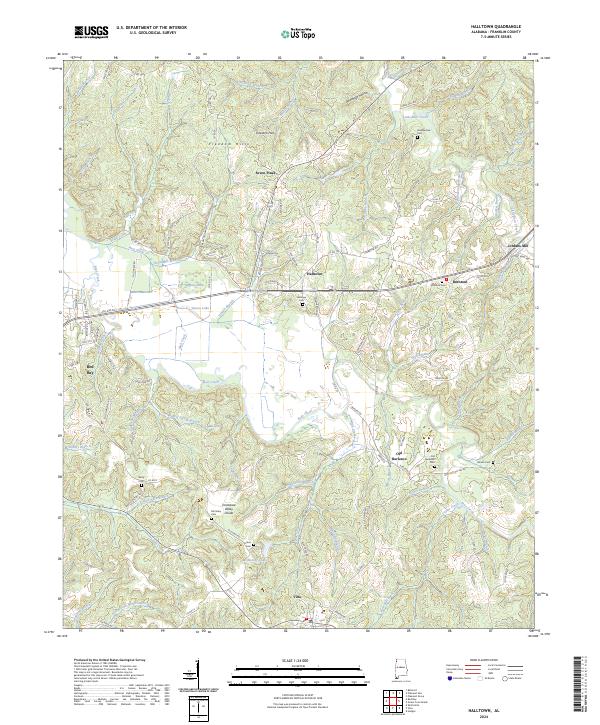 2024 Halltown2024 Print · USGSFranklin County's rural heartland is captured here in the 2020s, showing a landscape defined by the Freedom Hills and the Tennessee Valley Divide. Researchers can trace local lineage through sites like Old Burleson, Halltown, and the remote Weatherbee Cem.
 - 2024 Map of Red Bay, 2024 Print
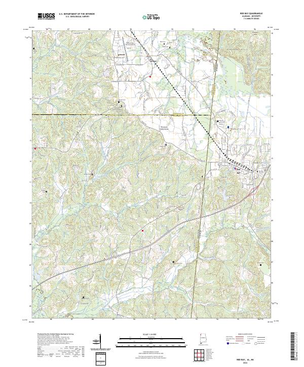 2024 Red Bay2024 Print · USGSThe Alabama-Mississippi state line comes alive in this 2024 survey of the Red Bay and Belmont area. Researchers can trace family history through numerous sites like Burges Cem African American and New Bethel Cem or explore the terrain of the Freedom Hills.
 - 2024 Map of Phil Campbell, 2024 Print
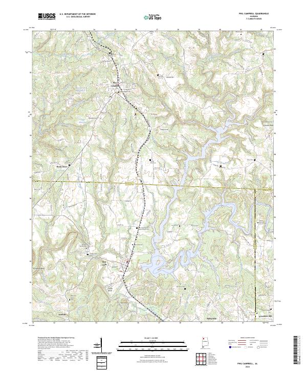 2024 Phil Campbell2024 Print · USGSThe town of Phil Campbell and the surrounding hills are captured in this recent survey of the Franklin and Marion County border. Genealogists can trace family sites at Old Zion Factory Cem, Mountain Home Cem, and Shady Grove.
 - 2024 Map of Spruce Pine, 2024 Print
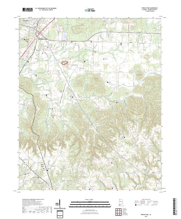 2024 Spruce Pine2024 Print · USGSFranklin County's deep hollows and high ridges are documented here in the early 2020s, showing the enduring rural character of the Alabama foothills. Genealogists can trace family landmarks and numerous burial sites like Sargent Cem, Drake Cem, and Spruce Pine Cem.
 - 2024 Map of Old Bethel, 2024 Print
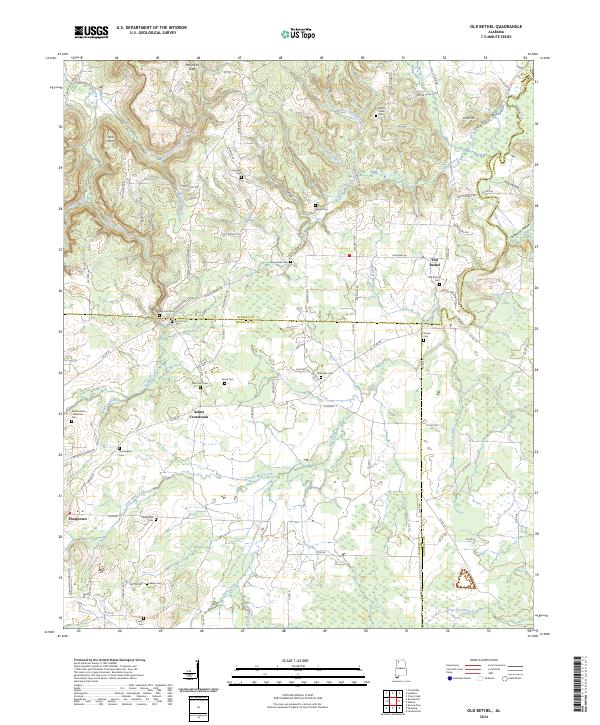 2024 Old Bethel2024 Print · USGSColbert and Franklin counties are captured here in the contemporary era, showing a landscape defined by ridges and family-named hollows. Genealogists can trace numerous local burial sites like Hopewell Cem and Saints Cem near the Saints Crossroads community.
 - 2024 Map of Isbell, 2024 Print
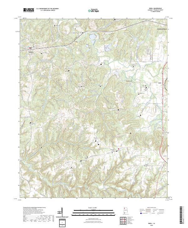 2024 Isbell2024 Print · USGSFranklin County's landscape is preserved here as it appears today, marked by its deep hollows and ancestral burial grounds. Genealogists can trace family lines through numerous sites like Cedar Creek Furnace Cem, Old Robinson Cem, and Vinson Cem.
Showing maps 1-25 of 36
Top cities of Franklin County
- Russellville historical maps
- Red Bay historical maps
- Phil Campbell historical maps
- Vina historical maps
- Hodges historical maps
- Spruce Pine historical maps
Frequently asked questions
- What are the different types of historical maps available for Franklin County?
- What is the oldest map of Franklin County?
- Where can I purchase historical maps of Franklin County for my home or office?
- Where can I download high-res historical maps of Franklin County?
- Are there historical topographic maps available for Franklin County?
- Is there historical aerial imagery available for Franklin County?
- Where are historical maps of Franklin County sourced from?