2010s Maps of Franklin County, Alabama
Explore 54 historic maps of Franklin County from the 2010s. These maps offer a rare glimpse into what life looked like during the 2010s — showing old roads, neighborhoods, homes, and landmarks that have changed or disappeared over time.
Whether you're researching your family's past, planning a metal detecting trip, or studying how Franklin County's landscape evolved across the 2010s, these high-resolution maps are a powerful tool for exploring the history of this region.
- Focus on a specific era: All maps on this page are from the 2010s, giving you a focused view of this time period.
- See what’s changed: Compare century-old streets, trails, and buildings to today's modern landscape using overlays and satellite layers.
- Research with precision: Use these maps for genealogy, historical research, land use analysis, or educational projects.
- View, download, or print: Maps are fully viewable online in high resolution, and can be downloaded or printed for your own records.
Start exploring Franklin County's history through authentic maps from the 2010s. This is your window into the past.
Franklin County, AL maps
(54)- 2011 Map of Hackleburg, 2011 Print
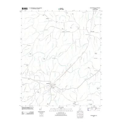 2011 Hackleburg2011 Print · USGSHackleburg and the rural hamlets of northern Alabama are captured here during the early 2010s, showing a landscape defined by Bear Creek and its hollows. Genealogists and local historians can trace family locations through Cedar Tree Cemetery, Nix Mill, and the Hackleburg Post Office.
 - 2011 Map of Frankfort, 2011 Print
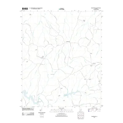 2011 Frankfort2011 Print · USGSFranklin County's rural heartland is documented here in the early twenty-first century, centered on the historic crossroads of Frankfort. Genealogists can trace family heritage through a dense network of sites including Burnt Church Cemetery, Taylor Cemetery, and the Jonesboro community.
 - 2011 Map of Russellville, 2011 Print
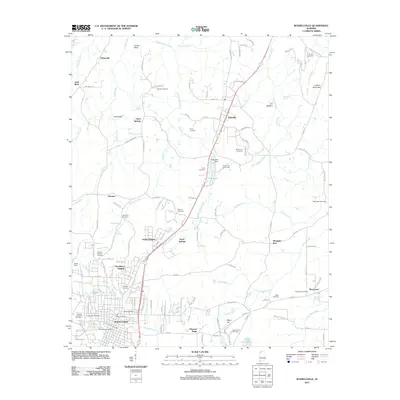 2011 Russellville2011 Print · USGSRussellville and the Highway 43 corridor are shown in detail during the early 2010s, capturing a mix of municipal growth and rural burial sites. Genealogists can locate family-named landmarks such as Henson Cemetery, Devaney Cemetery, and the Knights of Pythias Cemetery.
 - 2011 Map of Vina, 2011 Print
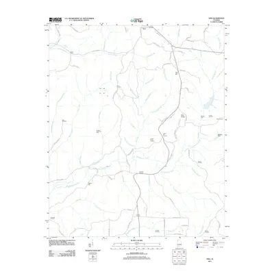 2011 Vina2011 Print · USGSFranklin County's rural landscape is captured here in the early twenty-first century, centered on the community of Vina. Researchers can trace deep family roots through numerous burial sites like Shottsville Cemetery, Fairview Cemetery, and the Liberty Hill Cemetery.
 - 2011 Map of Shottsville, 2011 Print
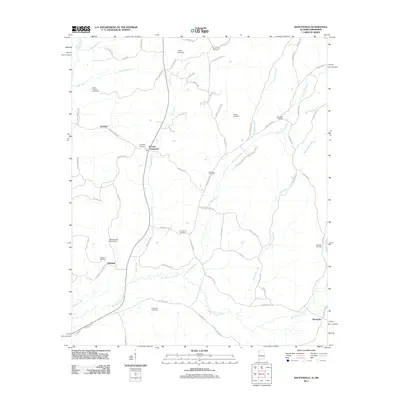 2011 Shottsville2011 Print · USGSThe Alabama-Mississippi borderlands come into focus in this recent survey of the rural landscape near Itawamba County. Researchers can trace family roots at numerous local sites including Oakland Cemetery, Bounds Crossroads, and Spearman Cemetery.
 - 2011 Map of Halltown, 2011 Print
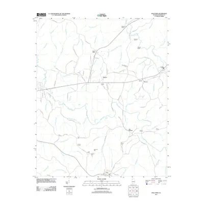 2011 Halltown2011 Print · USGSFranklin County's rural landscape is captured here in the early twenty-first century, centered on the community of Vina. Genealogists and historians can trace family sites at Burleson Cemetery and Weatherbee Cemetery or locate landmarks like the Vina Lookout Tower.
 - 2011 Map of Red Bay, 2011 Print
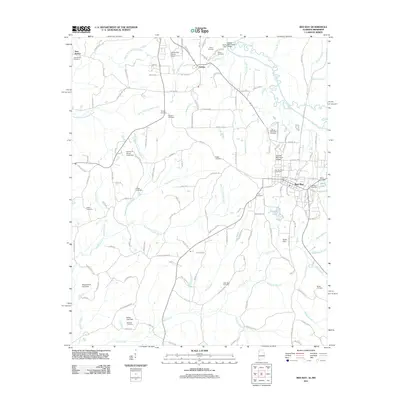 2011 Red Bay2011 Print · USGSThe Alabama-Mississippi border comes into focus in the early twenty-first century, centered on the growing community of Red Bay. Researchers can trace local lineage across dozens of rural landmarks, including New Bethel Cemetery, Bates Lake, and the Tishomingo County Airport.
 - 2011 Map of Guinn Cross Roads, 2011 Print
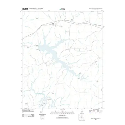 2011 Guinn Cross Roads2011 Print · USGSFranklin County in the early twenty-first century is defined by the massive Bear Creek Reservoir and its intricate shorelines. Genealogists can locate family-named landmarks and resting places such as Dempsey Cemetery, Friendship Cemetery, and the Horseshoe Bridge.
 - 2011 Map of Phil Campbell, 2011 Print
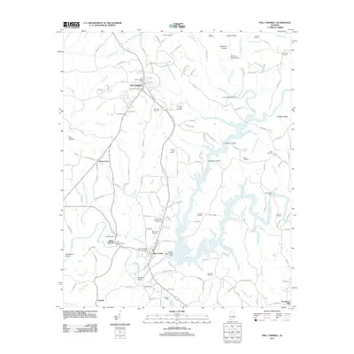 2011 Phil Campbell2011 Print · USGSThe community of Phil Campbell and its surrounding hill country are captured in this 2011 survey. Local researchers can trace family landmarks and early industry through sites like Allens Factory, Mars Hill Cemetery, and the Upper Bear Creek Dam.
 - 2011 Map of Isbell, 2011 Print
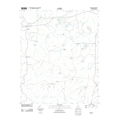 2011 Isbell2011 Print · USGSFranklin County at the start of the 2010s was a landscape of deep creek valleys and legacy family homesteads. Genealogists and historians can trace numerous rural burial grounds like Steadham Cemetery, New Friendship Cemetery, and Moorman Cemetery.
 - 2011 Map of Old Bethel, 2011 Print
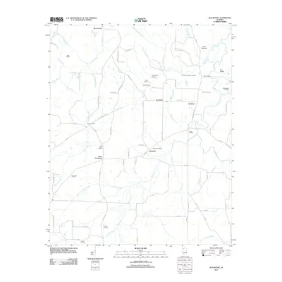 2011 Old Bethel2011 Print · USGSNear the Alabama-Mississippi border in the early twenty-first century, this Colbert County map reveals a landscape of family-run farms and rural crossroads. Researchers can trace the heritage of local families through Gargis Cemetery, Saints Crossroads, and Old Bethel.
 - 2011 Map of Hodges, 2011 Print
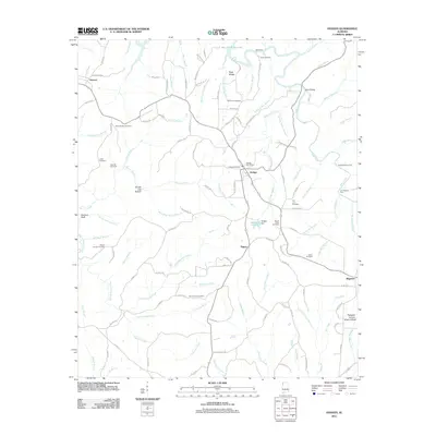 2011 Hodges2011 Print · USGSMarion County's hill country is captured here in the early twenty-first century, centered on the crossroads at Hodges. Researchers can trace family history through a wealth of local burial sites like Old Lion Cemetery and McCurley Cemetery or locate the Pilot Hill Gas Field.
 - 2011 Map of Newburg, 2011 Print
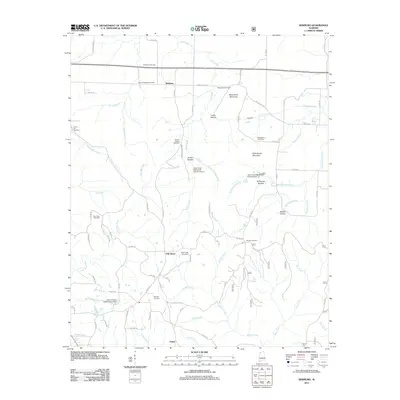 2011 Newburg2011 Print · USGSFranklin County in the early twenty-first century remains a rural landscape of high ridges and winding creek branches. Genealogists can trace family names through numerous burial sites like Macedonia Cemetery, Templeton Cemetery, and Gray Rock Cemetery.
 - 2011 Map of Spruce Pine, 2011 Print
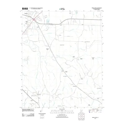 2011 Spruce Pine2011 Print · USGSThe community of Spruce Pine and the southern outskirts of Russellville are documented here in the early twenty-first century. Genealogists can trace family roots through numerous burial sites like Wilson-Nooe Cemetery and Scharangle Cemetery or locate the Spruce Pine Post Office.
 - 2011 Map of Pleasant Site, 2011 Print
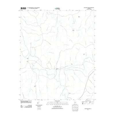 2011 Pleasant Site2011 Print · USGSFranklin County's rural landscape is captured here in the early twenty-first century, centered on the settlement of Pleasant Site. Genealogists and historians can locate family landmarks like the James Cemetery and trace the legacy of local milling along Shoat Mill Branch and Wilson Mill Branch.
 - 2011 Map of Pleasant Grove, 2011 Print
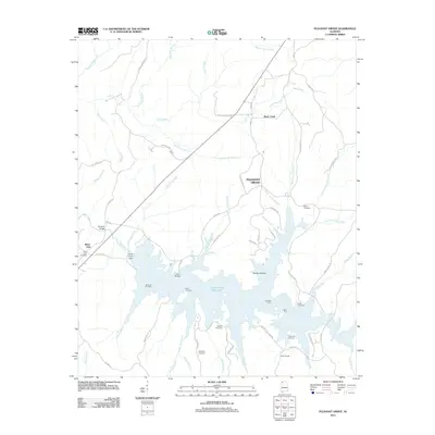 2011 Pleasant Grove2011 Print · USGSFranklin County's shoreline and rural settlements are captured here in the early twenty-first century as the waters of Cedar Creek Reservoir fill the valley. Genealogists can locate several family burial sites including Coondog Cemetery, Massey Cemetery, and Bolton Cemetery.
 - 2011 Map of Kinlock Spring, 2011 Print
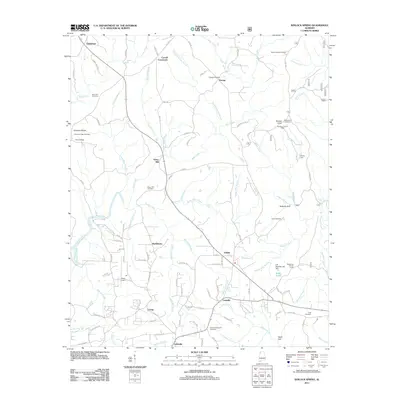 2011 Kinlock Spring2011 Print · USGSWinston County, Alabama, is shown here in the early twenty-first century as a land of crossroads communities and creek-fed valleys. Genealogists and local historians can trace family roots at Posey Mill, Winston Memorial Cemetery, and Poplar Spring Cemetery.
 - 2012 Map of Belmont, 2012 Print
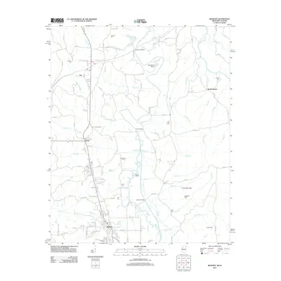 2012 Belmont2012 Print · USGSTishomingo County near the Alabama border appears in detail during the early 2010s, centered on the communities of Belmont and Dennis. Researchers can locate numerous family burial sites like Byram Cemetery and landmarks such as the Dennis Lookout Tower along Bear Creek.
 - 2014 Map of Hackleburg, 2014 Print
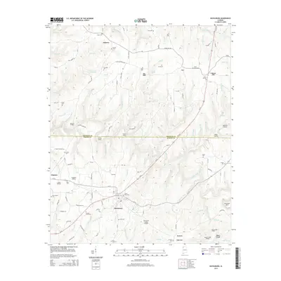 2014 Hackleburg2014 Print · USGSNorth Alabama's rural landscape is captured here in the decade following the turn of the millennium. Genealogists and local historians can map out numerous family landmarks and burial sites, including the Cochran Family Cem, Nix Mill, and the settlement of Hackleburg.
 - 2014 Map of Spruce Pine, 2014 Print
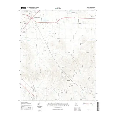 2014 Spruce Pine2014 Print · USGSFranklin County's rural landscape is documented here in the early twenty-first century, centered on the corridor south of Russellville. Genealogists and local historians can locate numerous family burial sites like Sibley Cem and trace the paths to Churntown or the unique Natural Arch.
 - 2014 Map of Frankfort, 2014 Print
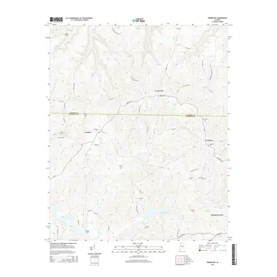 2014 Frankfort2014 Print · USGSNorthwest Alabama at the start of the 2010s reveals a landscape of high ridges and quiet community corners. Genealogists can trace family heritage through numerous sites like Burnt Church Cem, Malone Cem, and Frankfort Cem.
 - 2014 Map of Old Bethel, 2014 Print
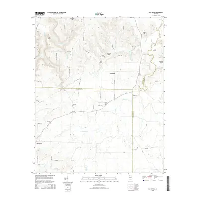 2014 Old Bethel2014 Print · USGSNorthwest Alabama at the meeting of Colbert, Franklin, and Lawrence counties remains a landscape of quiet rural settlements and named hollows. Genealogists can trace family lines through Bethsaida Cem, Aycock Cem, and the old crossroads at Saints Crossroads.
 - 2014 Map of Pleasant Grove, 2014 Print
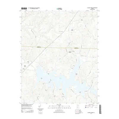 2014 Pleasant Grove2014 Print · USGSNorthwest Alabama's borderlands are mapped here in the early twenty-first century, showing a landscape defined by the expansive Cedar Cr Reservoir. Genealogists can trace local history through numerous sites like the Coon Dog Cemetery, Pleasant Grove Cem, and Blue Lick Cem.
 - 2014 Map of Kinlock Spring, 2014 Print
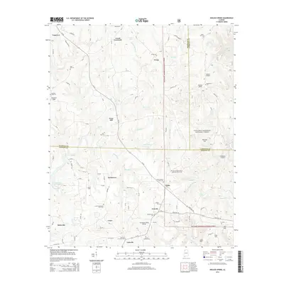 2014 Kinlock Spring2014 Print · USGSNorthwest Alabama at the Winston and Franklin county line reveals a landscape of high ridges and deep gulfs within the national forest. Researchers can trace the legacy of small communities and family lineages through sites like Posey Mill, Martintown, and the DeGraffenreid Cem.
 - 2014 Map of Russellville, 2014 Print
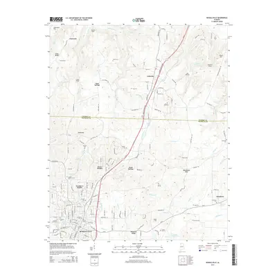 2014 Russellville2014 Print · USGSNorthwest Alabama at the start of the 2010s reveals a landscape of established hill-country settlements and rural cemeteries. Genealogists can locate family landmarks such as Old Town Cem, Sadler Cem, and Tharptown Cem while tracing the corridors of the George Wallace Hwy.
Showing maps 1-25 of 54
Top cities of Franklin County
- Russellville historical maps
- Red Bay historical maps
- Phil Campbell historical maps
- Vina historical maps
- Hodges historical maps
- Spruce Pine historical maps
Frequently asked questions
- What are the different types of historical maps available for Franklin County?
- What is the oldest map of Franklin County?
- Where can I purchase historical maps of Franklin County for my home or office?
- Where can I download high-res historical maps of Franklin County?
- Are there historical topographic maps available for Franklin County?
- Is there historical aerial imagery available for Franklin County?
- Where are historical maps of Franklin County sourced from?