2020s Maps of Marengo County, Alabama
Explore 56 historic maps of Marengo County from the 2020s. These maps offer a rare glimpse into what life looked like during the 2020s — showing old roads, neighborhoods, homes, and landmarks that have changed or disappeared over time.
Whether you're researching your family's past, planning a metal detecting trip, or studying how Marengo County's landscape evolved across the 2020s, these high-resolution maps are a powerful tool for exploring the history of this region.
- Focus on a specific era: All maps on this page are from the 2020s, giving you a focused view of this time period.
- See what’s changed: Compare century-old streets, trails, and buildings to today's modern landscape using overlays and satellite layers.
- Research with precision: Use these maps for genealogy, historical research, land use analysis, or educational projects.
- View, download, or print: Maps are fully viewable online in high resolution, and can be downloaded or printed for your own records.
Start exploring Marengo County's history through authentic maps from the 2020s. This is your window into the past.
Marengo County, AL maps
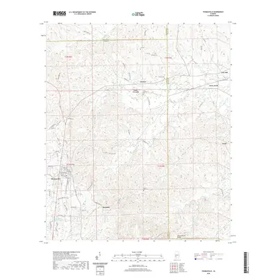
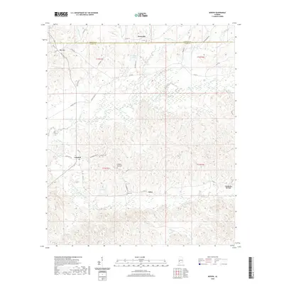
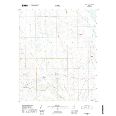
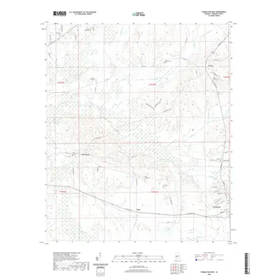
(56)- 2020 Map of Putnam, 2020 Print
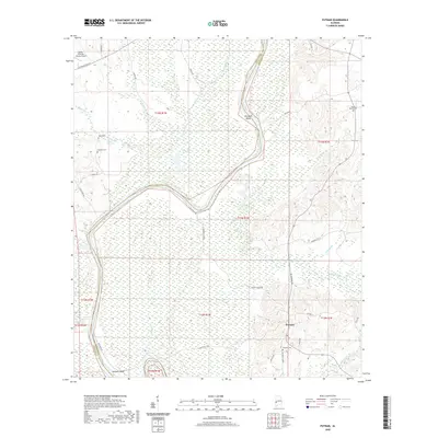 2020 Putnam2020 Print · USGSCovers Marengo County, including Putnam, Choctaw County, and other nearby areas
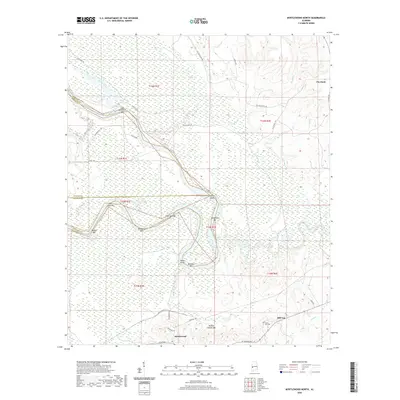
 - 2020 Map of Whitfield, 2020 Print
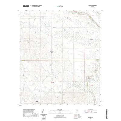 2020 Whitfield2020 Print · USGSCovers Marengo County, including Pelham, Edna, and other nearby areas
 - 2020 Map of Coatopa, 2020 Print
 2020 Coatopa2020 Print · USGSCovers Marengo County, including Coatopa, Sumter County, and other nearby areas
 - 2020 Map of Pennington, 2020 Print
 2020 Pennington2020 Print · USGSCovers Marengo County, including Pennington, Deas, and other nearby areas
 - 2020 Map of Woods Bluff, 2020 Print
 2020 Woods Bluff2020 Print · USGSCovers Marengo County, including Rock Springs, Smyer, and other nearby areas
 - 2020 Map of Thomasville, 2020 Print
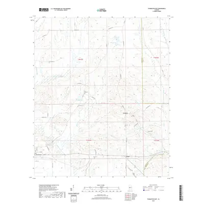
 2020 Thomasville2020 Print · USGSCovers Marengo County, including Thomasville, Pine Hill, and other nearby areas
 - 2020 Map of Morvin, 2020 Print
 2020 Morvin2020 Print · USGSCovers Marengo County, including Hotamville, Campbell, and other nearby areas
 - 2020 Map of Myrtlewood North, 2020 Print
 2020 Myrtlewood North2020 Print · USGSCovers Marengo County, including Myrtlewood, Hill Top, and other nearby areas
 - 2020 Map of Flatwood, 2020 Print
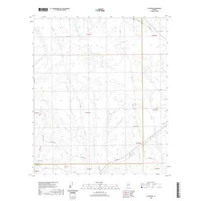 2020 Flatwood2020 Print · USGSCovers Marengo County, including Flatwood, Wilcox County, and other nearby areas
 - 2020 Map of Thomaston East, 2020 Print
 2020 Thomaston East2020 Print · USGSCovers Marengo County, including Thomaston, Consul, and other nearby areas
 - 2020 Map of Old Spring Hill, 2020 Print
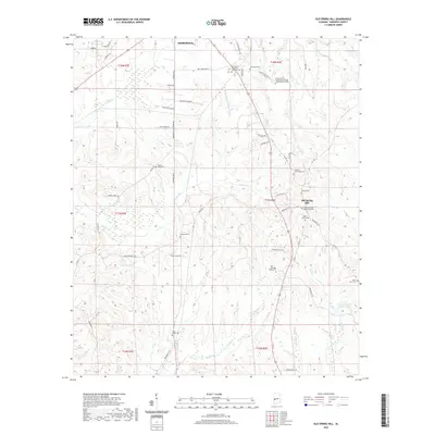 2020 Old Spring Hill2020 Print · USGSCovers Marengo County, including Demopolis, Old Spring Hill, and other nearby areas
 - 2020 Map of Casemore, 2020 Print
 2020 Casemore2020 Print · USGSCovers Marengo County, including Lock Five, Casemore, and other nearby areas
 - 2020 Map of Surginer, 2020 Print
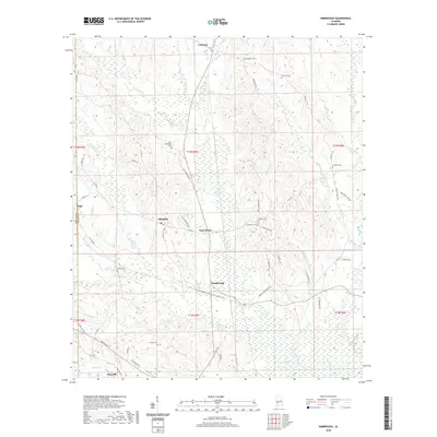
 2020 Surginer2020 Print · USGSCovers Marengo County, including Surginer, Hampden, and other nearby areas
 - 2020 Map of Central Mills, 2020 Print
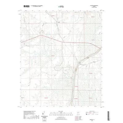
 2020 Central Mills2020 Print · USGSCovers Marengo County, including Blalock, Central Mills, and other nearby areas
 - 2020 Map of Kimbrough, 2020 Print
 2020 Kimbrough2020 Print · USGSCovers Marengo County, including Pine Hill, Pope, and other nearby areas
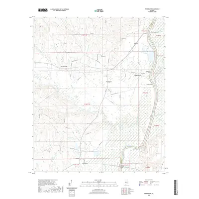
 - 2020 Map of Magnolia, 2020 Print
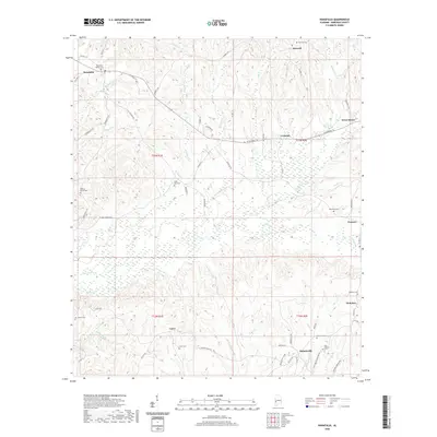
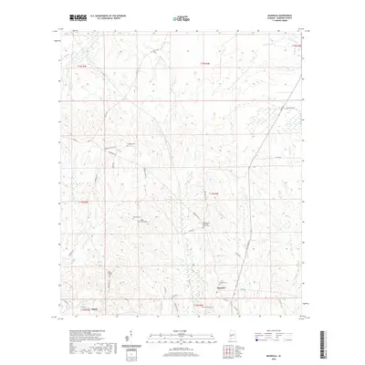 2020 Magnolia2020 Print · USGSCovers Marengo County, including Shiloh, Magnolia, and other nearby areas
 - 2020 Map of Gallion, 2020 Print
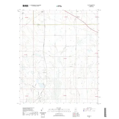 2020 Gallion2020 Print · USGSCovers Marengo County, including Gallion, Allenville, and other nearby areas
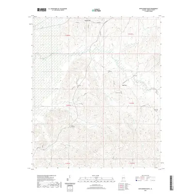
 - 2020 Map of Thomaston West, 2020 Print
 2020 Thomaston West2020 Print · USGSCovers Marengo County, including Thomaston, Dayton, and other nearby areas
 - 2020 Map of McDowell, 2020 Print
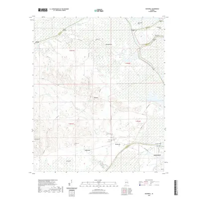 2020 McDowell2020 Print · USGSCovers Marengo County, including Demopolis, Belmont, and other nearby areas
 - 2020 Map of Linden, 2020 Print
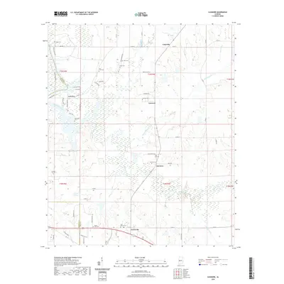
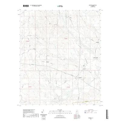
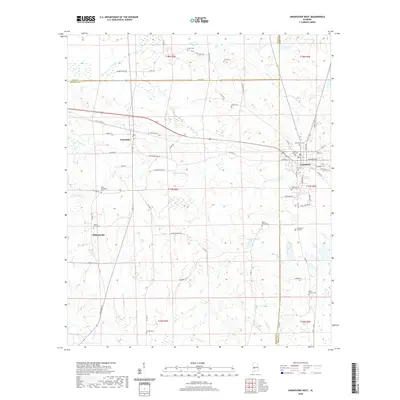
 2020 Linden2020 Print · USGSCovers Marengo County, including Linden, Providence, and other nearby areas
 - 2020 Map of Uniontown West, 2020 Print
 2020 Uniontown West2020 Print · USGSCovers Marengo County, including Uniontown, Faunsdale, and other nearby areas
 - 2020 Map of Myrtlewood South, 2020 Print
 2020 Myrtlewood South2020 Print · USGSCovers Marengo County, including Myrtlewood, Geneva, and other nearby areas
 - 2020 Map of Nanafalia, 2020 Print
 2020 Nanafalia2020 Print · USGSCovers Marengo County, including Sweet Water, Aimwell, and other nearby areas
 - 2020 Map of Miller, 2020 Print
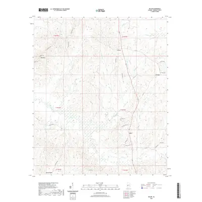 2020 Miller2020 Print · USGSCovers Marengo County, including Sweet Water, Octagon, and other nearby areas
 - 2020 Map of Bashi, 2020 Print
 2020 Bashi2020 Print · USGSCovers Marengo County, including Thomasville, Bashi, and other nearby areas
Showing maps 1-25 of 56
Top cities of Marengo County
- Demopolis historical maps
- Linden historical maps
- Thomaston historical maps
- Sweet Water historical maps
- Providence historical maps
- Faunsdale historical maps
See more
Frequently asked questions
- What are the different types of historical maps available for Marengo County?
- What is the oldest map of Marengo County?
- Where can I purchase historical maps of Marengo County for my home or office?
- Where can I download high-res historical maps of Marengo County?
- Are there historical topographic maps available for Marengo County?
- Is there historical aerial imagery available for Marengo County?
- Where are historical maps of Marengo County sourced from?