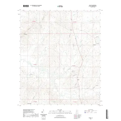
2020 Map of Miller
USGS Topo · Published 2020About this map
The community of Miller sits at the junction of several rural routes in southern Marengo County, serving as a focal point for a landscape defined by its creek bottoms and scattered family settlements. This 2020 survey documents the enduring layout of small crossroads like Rembert and Octagon, where small burial grounds such as Rembert Cem and Octagon Cem provide vital links for local genealogists. The topography is dominated by the complex drainage systems of Beaver Creek and Cane Cr, which wind through the township boundaries of T14N and T15N. Near the southern edge, the settlement of Sweet Water appears, while the area around Calvary is marked by numerous small tributaries like Mud Rush Cr and Little Beaver Cr. The map's detailed road network, including Bethlehem Church Rd and Rembert Hills Rd, reveals the historic connectivity between these isolated agrarian communities.
Find a feature on this map
49 named features on this map. Tap any name to fly to it.
Don’t see what you’re looking for? This feature index may not catch every label — zoom into the map to look around manually.
Map Details
Editions of this 2020 Miller Map
This is the sole edition of this map. No revisions or reprints were ever made.
Other maps of this area

1953 · Montgomery
USGS Topo · 1:250,000

1956 · Montgomery
USGS Topo · 1:250,000

1957 · Montgomery
USGS Topo · 1:250,000

1968 · Thomaston West
USGS Topo · 1:24,000

1970 · Myrtlewood North
USGS Topo · 1:24,000

1970 · Linden
USGS Topo · 1:24,000

1978 · Surginer
USGS Topo · 1:24,000

1978 · Sweet Water
USGS Topo · 1:24,000
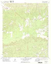
1978 · Nanafalia
USGS Topo · 1:24,000
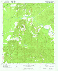
1978 · Myrtlewood South
USGS Topo · 1:24,000