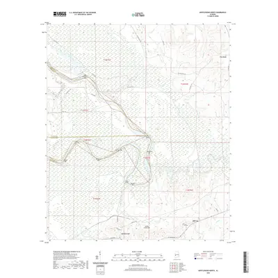
2020 Map of Myrtlewood North
USGS Topo · Published 2020About this map
Myrtlewood sits at the southern edge of a riverine landscape defined by the shifting currents of the Tombigbee River system. This contemporary survey captures the intricate network of bars and shoals that characterize the local waterway, including Lone Brothers Bar, Remberts Bar, and Beckleys Bar. These features, alongside Smith Island and Miles Shoal, illustrate a complex riparian environment where land and water meet in a series of dynamic crossings and landings.
Find a feature on this map
45 named features on this map. Tap any name to fly to it.
Don’t see what you’re looking for? This feature index may not catch every label — zoom into the map to look around manually.
Map Details
Editions of this 2020 Myrtlewood North Map
This is the sole edition of this map. No revisions or reprints were ever made.
Other maps of this area

1953 · Montgomery
USGS Topo · 1:250,000

1953 · Meridian
USGS Topo · 1:250,000

1956 · Montgomery
USGS Topo · 1:250,000

1957 · Meridian
USGS Topo · 1:250,000

1957 · Montgomery
USGS Topo · 1:250,000

1965 · Meridian
USGS Topo · 1:250,000

1970 · Myrtlewood North
USGS Topo · 1:24,000
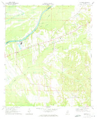
1970 · Jefferson
USGS Topo · 1:24,000

1970 · Old Spring Hill
USGS Topo · 1:24,000

1970 · Linden
USGS Topo · 1:24,000