2010s Maps of Sumter County, Alabama
Explore 78 historic maps of Sumter County from the 2010s. These maps offer a rare glimpse into what life looked like during the 2010s — showing old roads, neighborhoods, homes, and landmarks that have changed or disappeared over time.
Whether you're researching your family's past, planning a metal detecting trip, or studying how Sumter County's landscape evolved across the 2010s, these high-resolution maps are a powerful tool for exploring the history of this region.
- Focus on a specific era: All maps on this page are from the 2010s, giving you a focused view of this time period.
- See what’s changed: Compare century-old streets, trails, and buildings to today's modern landscape using overlays and satellite layers.
- Research with precision: Use these maps for genealogy, historical research, land use analysis, or educational projects.
- View, download, or print: Maps are fully viewable online in high resolution, and can be downloaded or printed for your own records.
Start exploring Sumter County's history through authentic maps from the 2010s. This is your window into the past.
Sumter County, AL maps
(78)- 2011 Map of Forkland, 2011 Print
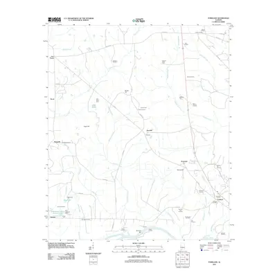 2011 Forkland2011 Print · USGSGreene County’s river-bound landscape is captured here in the early twenty-first century as the Tombigbee River snakes past local landings. Researchers can locate numerous historic burial sites and rural settlements like Tishabee, Thornhill, and Bethlehem Cemetery.
 - 2011 Map of Whitfield, 2011 Print
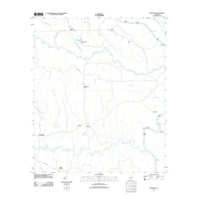 2011 Whitfield2011 Print · USGSChoctaw County at the turn of the decade reveals a landscape defined by the Tombigbee River and small inland communities. Genealogists and researchers can trace local family landmarks and landings including Bethlehem Cemetery, Oakchia, and Crooms Upper Landing.
 - 2011 Map of Warsaw, 2011 Print
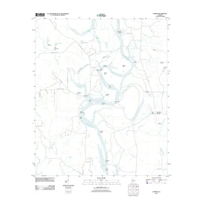 2011 Warsaw2011 Print · USGSSoutheastern river life and rural settlements define this Alabama landscape in the early twenty-first century. Genealogists can trace family names through numerous burial sites including Jamestown Cemetery, Mobley Cemetery, and Pleasant Valley Cemetery.
 - 2011 Map of Bellamy, 2011 Print
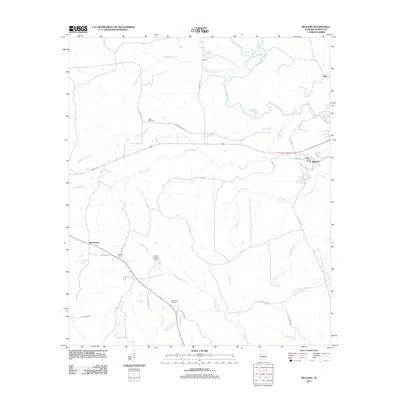 2011 Bellamy2011 Print · USGSSumter County in the early twenty-first century reveals a landscape defined by the Sucarnochee River and small inland settlements. Genealogists can locate family landmarks like Friendship Cemetery and the uniquely named community of Intercourse.
 - 2011 Map of Boyd, 2011 Print
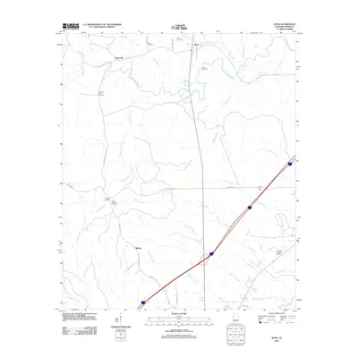 2011 Boyd2011 Print · USGSSumter County at the start of the 2010s remains a landscape of quiet rural settlements and winding river bottoms. Genealogists and historians can trace family roots through numerous sites like Old Mount Olive Cemetery, Payneville, and the Sumter Fire Tower.
 - 2011 Map of Epes East, 2011 Print
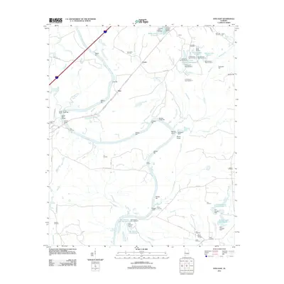 2011 Epes East2011 Print · USGSThe Tombigbee River corridor comes alive in this 2011 survey of Greene County, documenting a landscape defined by river navigation and rural family heritage. Researchers can trace ancestral sites at Bethsalem Cemetery or locate old river landmarks like Lukes Landing and Jones Bluff Shoals.
 - 2011 Map of York, 2011 Print
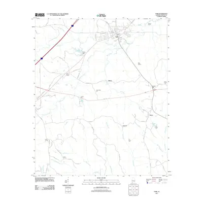 2011 York2011 Print · USGSThe town of York and its surrounding rural hamlets come to life in this detailed 2011 survey of Sumter County. Genealogists and historians can locate family landmarks such as Rocks Chapel Cemetery, McElroy Cemetery, and the community of Siloam.
 - 2011 Map of Boligee, 2011 Print
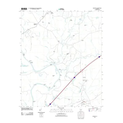 2011 Boligee2011 Print · USGSGreene County’s riverfront and rural uplands are meticulously detailed in this early twenty-first-century survey of the Alabama black belt. Researchers can locate numerous family burial sites like Boatright Cemetery and trace river landmarks such as Clays Bluff and Trussel Shoals.
 - 2011 Map of Gainesville, 2011 Print
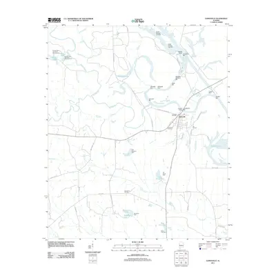 2011 Gainesville2011 Print · USGSThe river town of Gainesville and its surrounding riverbanks are captured here at a time when the Tombigbee River still defined the local geography. Researchers can trace family history at the Odd Fellows Cemetery or locate historical river landmarks like Whitsitts Bluff and Tutwiler Bridge Bar.
 - 2011 Map of Myrtlewood North, 2011 Print
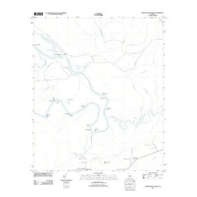 2011 Myrtlewood North2011 Print · USGSThe Tombigbee River corridor in Marengo County comes alive in this 2011 survey, showing a landscape defined by historic water navigation. Genealogists and researchers can trace local family landmarks through Remberts Landing, Clover Hill Cemetery, and the settlement of Myrtlewood.
 - 2011 Map of Jefferson, 2011 Print
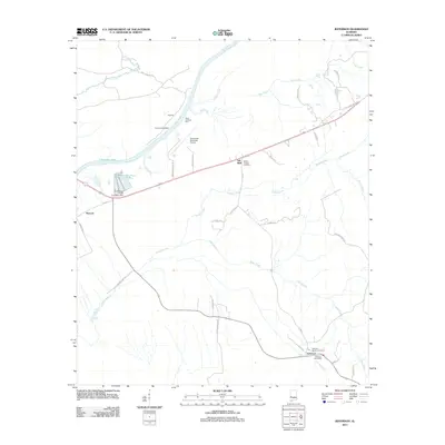 2011 Jefferson2011 Print · USGSThe Tombigbee River corridor in Marengo County comes into focus in this recent survey of rural West Alabama. Genealogists and local historians can locate family landmarks like Jefferson Smalls Cemetery, Millers Chapel, and the riverside sites at Pandora or Moscow.
 - 2011 Map of Demopolis, 2011 Print
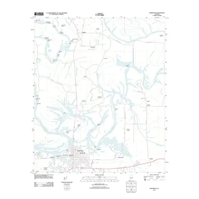 2011 Demopolis2011 Print · USGSThe confluence of the Tombigbee and Black Warrior rivers comes to life in the early 21st century. Trace local family history and river commerce through features like Jerusalem Cemetery, Baptist Hill, and the Demopolis Upper Landing.
 - 2011 Map of Coatopa, 2011 Print
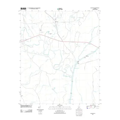 2011 Coatopa2011 Print · USGSSumter County river life and rural settlements come into focus in this recent survey of the Alabama bottomlands. Researchers can locate family landmarks like Mount Tabor Cemetery, trace the Sucarnoochee River to Rooster Bridge, or find the Coatopa Post Office.
 - 2011 Map of Brewersville, 2011 Print
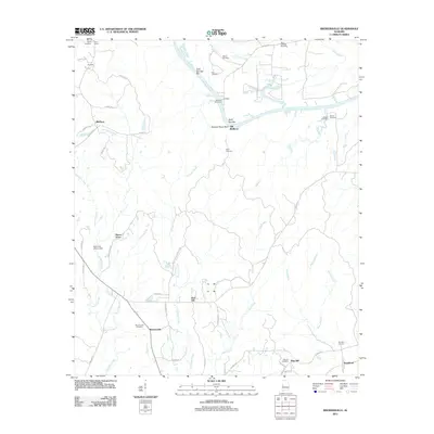 2011 Brewersville2011 Print · USGSSumter County at the start of the 2010s reveals a quiet landscape of river bends and small rural communities. Genealogists can trace family names through numerous burial grounds like Brewersville Cemetery, Phares Cemetery, and Dug Hill Cemetery.
 - 2011 Map of Epes West, 2011 Print
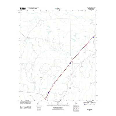 2011 Epes West2011 Print · USGSSumter County near the Tombigbee River remains a landscape of quiet crossroads and historic family burial grounds in the early twenty-first century. Genealogists and local historians can trace the sites of the Eskeridge Pettigrew Cemetery, McCainville, and Sumterville.
 - 2011 Map of Livingston, 2011 Print
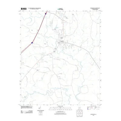 2011 Livingston2011 Print · USGSLivingston and the surrounding Sumter County countryside are documented here in the early twenty-first century, centered on the University of West Alabama. Genealogists and local historians can trace family sites like Potts Cemetery or explore the rural reaches of Hixon along the Sucarnochee River.
 - 2011 Map of Emelle, 2011 Print
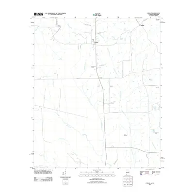 2011 Emelle2011 Print · USGSSumter County at the start of the 2010s reveals a quiet landscape of prairie openings and family-named landmarks. Researchers can trace ancestral roots at Boney Cemetery or Bell Cemetery and locate the historic Emelle Post Office near Grindstone Prairie.
 - 2011 Map of Panola, 2011 Print
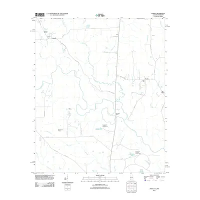 2011 Panola2011 Print · USGSThe Noxubee River borderlands are shown in detail here during the early twenty-first century. Researchers can locate the Panola Post Office, trace the legacy of Wild Horse Prairie, and find family sites at Watts Cemetery.
 - 2011 Map of McDowell, 2011 Print
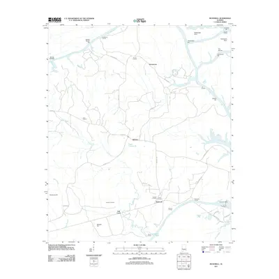 2011 McDowell2011 Print · USGSThe Tombigbee River corridor near Demopolis comes alive in this modern survey, showing a landscape defined by winding bends and river landings. Genealogists can trace family names and local history through Pinetop Cemetery, McDowells Landing, and the settlement at Belmont.
 - 2011 Map of Ward, 2011 Print
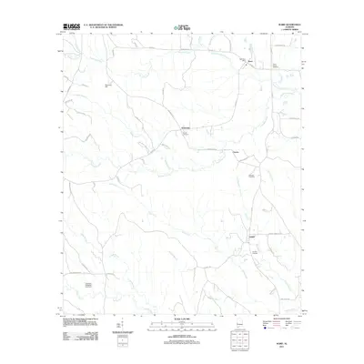 2011 Ward2011 Print · USGSSumter County, Alabama, is documented here in the early twenty-first century as a rural landscape shaped by the waters of Kinterbish Creek. Local researchers can locate small communities like Halsell and Ward, or trace family sites at Beulah Cemetery and Shearon Cemetery.
 - 2011 Map of Geiger, 2011 Print
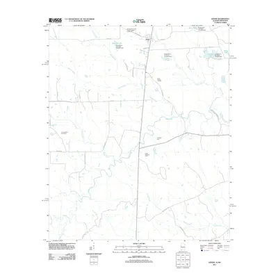 2011 Geiger2011 Print · USGSThe town of Geiger and the surrounding Sumter County countryside are documented here during the early twenty-first century. Genealogists and local historians can trace family-named landmarks like Williams Lake, Souls Chapel Cemetery, and the C E Boyd Dam.
 - 2011 Map of Gaston, 2011 Print
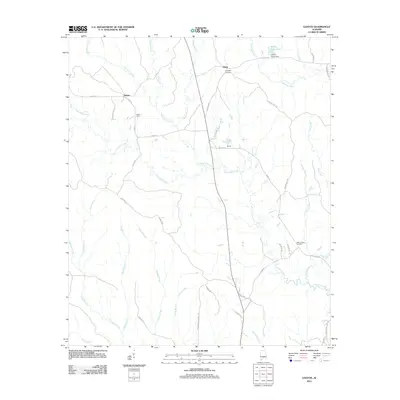 2011 Gaston2011 Print · USGSGaston and the surrounding Sumter County countryside are shown here at the start of the 2010s, defined by timbered ridges and creek valleys. Genealogists and local historians can locate rural landmarks such as Campbell Cemetery, Ward Chapel Cemetery, and the settlement of Shorts.
 - 2012 Map of Tamola, 2012 Print
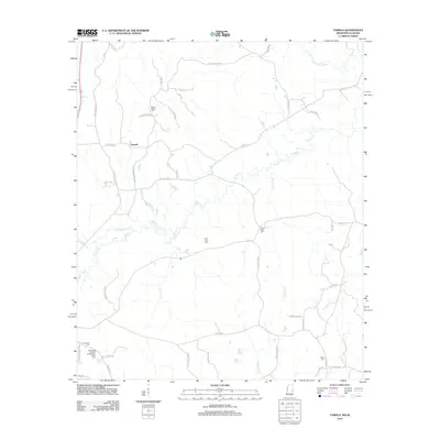 2012 Tamola2012 Print · USGSThe borderlands of Mississippi and Alabama are documented here in 2012, highlighting the rural community of Tamola and its network of family farms. Genealogists can trace local history through sites like Lauderdale Springs Confederate Union Cem and Grigsbys Springs.
 - 2012 Map of Kewanee, 2012 Print
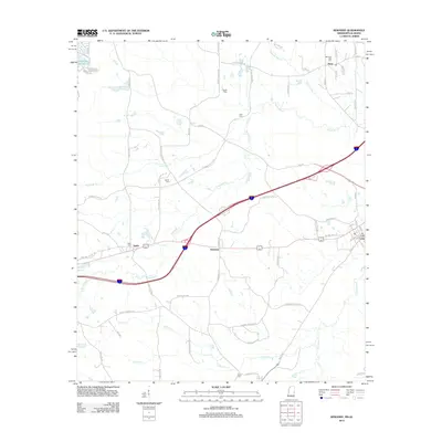 2012 Kewanee2012 Print · USGSCrossing the Alabama and Mississippi state line in the early 2010s, this area shows a landscape of rural communities and vital waterways. Researchers can trace family history through several local burial sites like Bethel Cem and Morning Star Cem or locate the PO at Cuba.
 - 2012 Map of Whynot, 2012 Print
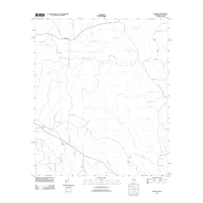 2012 Whynot2012 Print · USGSThe Mississippi-Alabama borderlands come to life in this survey of the communities near Alamucha. Genealogists and local historians can trace family locations through several burial sites like McMurry Cem, Antioch Cem, and the landmark Whynot Raceway.
Showing maps 1-25 of 78
Top cities of Sumter County
- Livingston historical maps
- York historical maps
- Bellamy historical maps
- Cuba historical maps
- Epes historical maps
- Gainesville historical maps
See more
Frequently asked questions
- What are the different types of historical maps available for Sumter County?
- What is the oldest map of Sumter County?
- Where can I purchase historical maps of Sumter County for my home or office?
- Where can I download high-res historical maps of Sumter County?
- Are there historical topographic maps available for Sumter County?
- Is there historical aerial imagery available for Sumter County?
- Where are historical maps of Sumter County sourced from?