2020s Maps of Sumter County, Alabama
Explore 52 historic maps of Sumter County from the 2020s. These maps offer a rare glimpse into what life looked like during the 2020s — showing old roads, neighborhoods, homes, and landmarks that have changed or disappeared over time.
Whether you're researching your family's past, planning a metal detecting trip, or studying how Sumter County's landscape evolved across the 2020s, these high-resolution maps are a powerful tool for exploring the history of this region.
- Focus on a specific era: All maps on this page are from the 2020s, giving you a focused view of this time period.
- See what’s changed: Compare century-old streets, trails, and buildings to today's modern landscape using overlays and satellite layers.
- Research with precision: Use these maps for genealogy, historical research, land use analysis, or educational projects.
- View, download, or print: Maps are fully viewable online in high resolution, and can be downloaded or printed for your own records.
Start exploring Sumter County's history through authentic maps from the 2020s. This is your window into the past.
Sumter County, AL maps
(52)- 2020 Map of Bellamy, 2020 Print
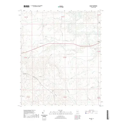 2020 Bellamy2020 Print · USGSSumter County timberlands and rural communities are documented here in recent detail. Genealogists and local historians can locate Chestnut Grove Cem and Friendship Cem, or trace the winding course of the Sucarnoochee River through Bellamy.
 - 2020 Map of Ward, 2020 Print
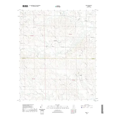 2020 Ward2020 Print · USGSWest Alabama at the turn of the decade reveals a quiet landscape of timberlands and creek-side settlements. Genealogists can trace family footprints across rural sites like Ward, Halsell, and the Cokes Chapel Cemetery near the Choctaw County line.
 - 2020 Map of Panola, 2020 Print
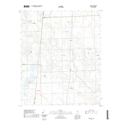 2020 Panola2020 Print · USGSThe Alabama and Mississippi state line meets in the wetlands of the Noxubee River in this detailed modern survey. Researchers can trace rural lineages at Cooksville Cem and Watts Cem, or explore the unique terrain of Noxubee Island.
 - 2020 Map of Gainesville, 2020 Print
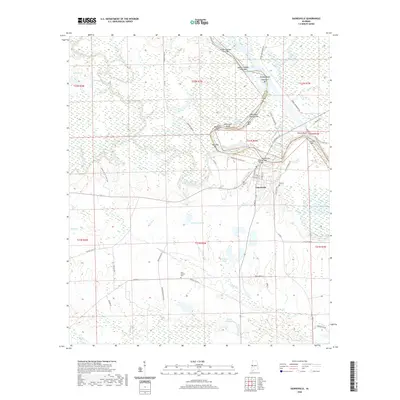 2020 Gainesville2020 Print · USGSGainesville and the surrounding river country in Sumter County are shown here at the opening of the 2020s. Genealogists and local historians can trace the town's layout near Odd Fellows Cem and locate landmarks like Whitsetts Bluff along the Tennessee-Tombigbee Waterway.
 - 2020 Map of Epes East, 2020 Print
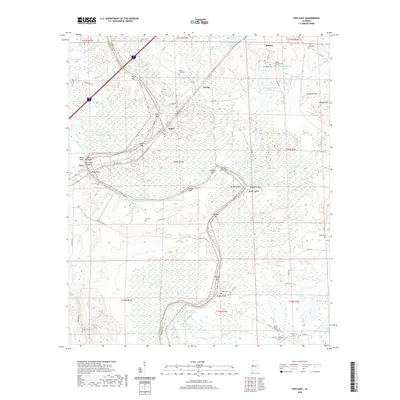 2020 Epes East2020 Print · USGSSumter and Greene counties meet along the winding riverbanks in this 2020 survey. Genealogists and local historians can trace numerous rural burial sites like Bethsalem Cem and Saint Luke Cem near the towns of Boligee and Epes.
 - 2020 Map of Boligee, 2020 Print
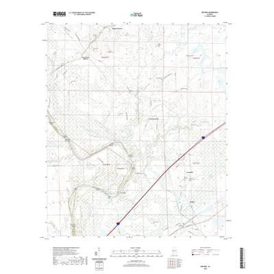 2020 Boligee2020 Print · USGSThe Black Belt of Greene County comes to life in this survey of the riverbanks and rural settlements. Genealogists can trace family names through numerous local sites like Mount Hebron Cem and Saint Paul Cem near the Boligee Canal.
 - 2020 Map of York, 2020 Print
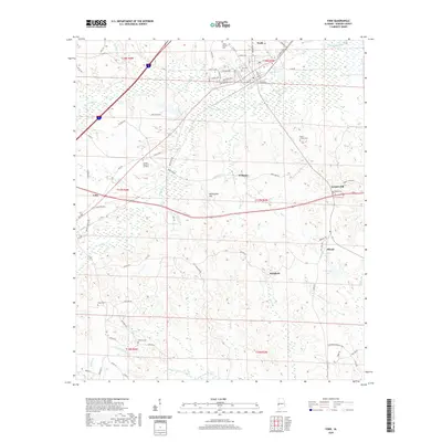 2020 York2020 Print · USGSSumter County life is captured here in the contemporary era, showing the enduring rural layout around York and Cuba. Genealogists can locate several local burial grounds including Rocks Chapel Cem, Cagus Cem, and Sumter Memorial Gardens.
 - 2020 Map of Brewersville, 2020 Print
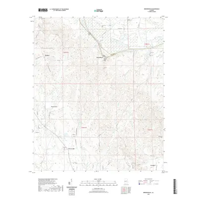 2020 Brewersville2020 Print · USGSSumter County at the edge of the Tennessee-Tombigbee Waterway is documented here in the early twenty-first century. Genealogists can locate family landmarks such as Brewersville Cem and Neal Cem or trace the old river bends near Old Bluffport.
 - 2020 Map of Emelle, 2020 Print
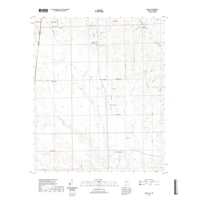 2020 Emelle2020 Print · USGSSumter County at the Mississippi border remains a landscape of deep-rooted family settlements and winding creek beds. Genealogists and researchers can trace local history through a series of named cemeteries like Bell Cem and small communities such as Emelle and Sledge.
 - 2020 Map of Geiger, 2020 Print
 2020 Geiger2020 Print · USGSThe Alabama-Mississippi borderland near Geiger is a maze of creek beds and timber roads in the early twenty-first century. Genealogists and local historians can trace family locations near Souls Chapel Cem or follow the paths of Bodka Creek and Tifallili Cr.
 - 2020 Map of Warsaw, 2020 Print
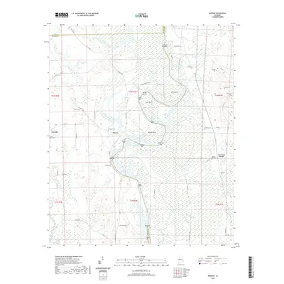 2020 Warsaw2020 Print · USGSThe river borders of Sumter and Greene Counties are captured here as the modern waterway cuts through the ancient loops of the Tombigbee. Researchers can locate many local burial sites such as Jamestown Cem, Hutton Cem, and Craig Cem.
 - 2020 Map of Whitfield, 2020 Print
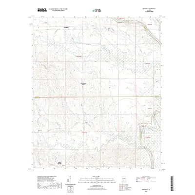 2020 Whitfield2020 Print · USGSThe Sumter and Choctaw county line in western Alabama is documented here during a period of modern land use. Genealogists can locate family sites near Whitfield and Edna, or trace landmarks like Bethlehem Cem and Persimmon Grove.
 - 2020 Map of Livingston, 2020 Print
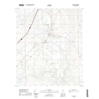 2020 Livingston2020 Print · USGSLivingston and its surrounding wetlands are documented here in the early twenty-first century as the town continues to grow around the University of West Alabama. Researchers can locate civic landmarks like the Sumter County Courthouse and trace local genealogy through Potts Cem and Johnson Cem.
 - 2020 Map of Boyd, 2020 Print
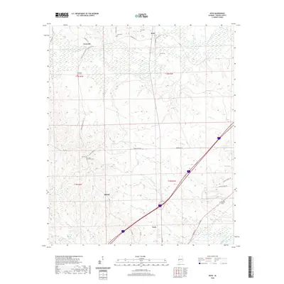 2020 Boyd2020 Print · USGSSumter County near the town of York is shown here as it appeared in the early twenty-first century. Local history researchers can locate several small communities and burial sites including Payneville, Millville, and the Old Mount Olive Cem.
 - 2020 Map of Coatopa, 2020 Print
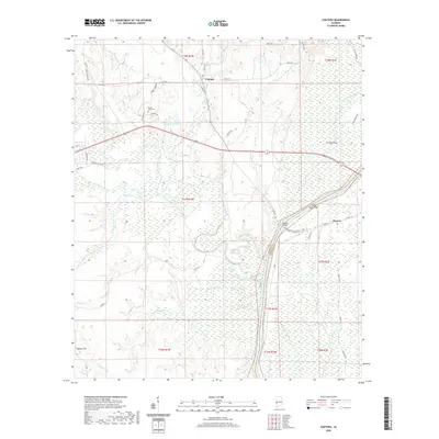 2020 Coatopa2020 Print · USGSSumter and Marengo counties are captured here at the turn of the decade, centered on the winding Sucarnoochee River and the settlement of Coatopa. Genealogists and historians can trace local landmarks like Mount Tabor Cem, Rooster Bridge, and the site of Moscow.
 - 2020 Map of Gaston, 2020 Print
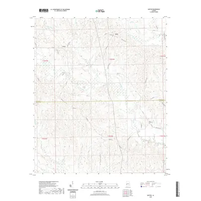 2020 Gaston2020 Print · USGSThe Alabama borderlands of Sumter and Choctaw Counties come into focus in this recent survey. Researchers can trace rural landmarks and family-named sites like Campbell Cem, Ward Chapel Cem, and the small community of Gaston.
 - 2020 Map of Epes West, 2020 Print
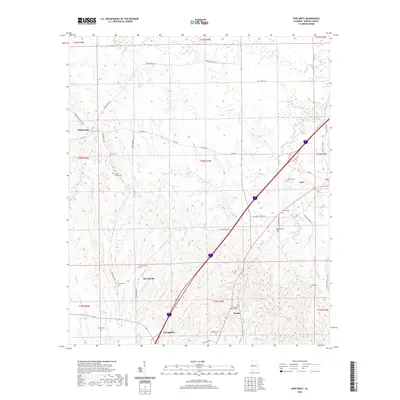 2020 Epes West2020 Print · USGSSumter County at the beginning of the 2020s remains a landscape of traditional settlements and creek-side family lands. Genealogists can trace rural family legacies through sites like the Eskeridge Pettigrew Cem, Shiloh Cem, and the community of McCainville.
 - 2020 Map of Myrtlewood North, 2020 Print
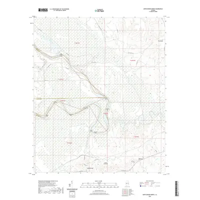 2020 Myrtlewood North2020 Print · USGSThe Tombigbee River corridor in Marengo County comes alive in this survey of its complex bars and islands. Genealogists and river historians can trace the landings at Nick Lewis Bar and Rainwater Bar or locate family plots at Clover Hill Cem.
 - 2020 Map of Forkland, 2020 Print
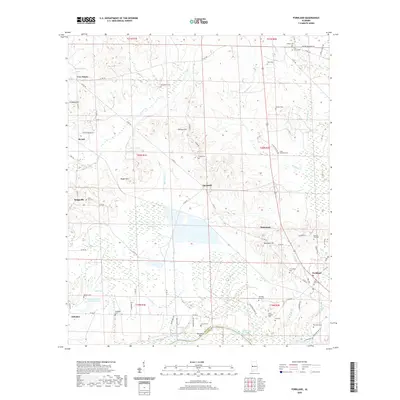 2020 Forkland2020 Print · USGSGreene County, Alabama, is shown in the late twenty-teens as a landscape defined by its river boundaries and rural crossroads. Genealogists and local historians can trace family land near Forkland, Tishabee, and numerous small burial sites like Hard Bargain Cem and Friendship Cem.
 - 2020 Map of McDowell, 2020 Print
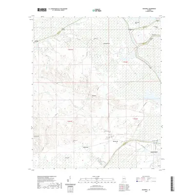 2020 McDowell2020 Print · USGSThe river-driven landscape of the Alabama-Sumter border comes to life in this recent survey. Local historians can trace the intricate bends of the Tennessee-Tombigbee Waterway and locate rural landmarks like Palestine Church and Belmont.
 - 2020 Map of Jefferson, 2020 Print
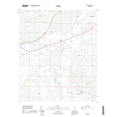 2020 Jefferson2020 Print · USGSMarengo County at the start of the 2020s shows a landscape of modern industry and traditional rural settlements. Genealogists and local historians can trace family locations near Jefferson, Moscow, and the Jefferson Small Cemetery alongside the Tombigbee River drainage.
 - 2020 Map of Demopolis, 2020 Print
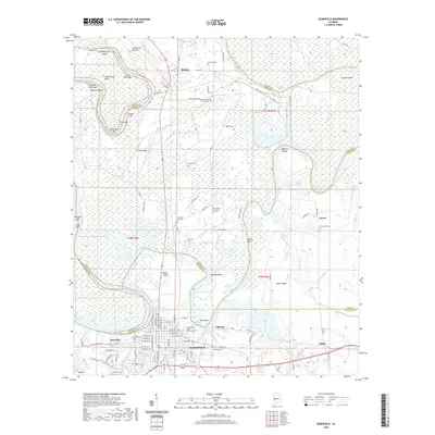 2020 Demopolis2020 Print · USGSDemopolis and its surrounding river country are documented here in the early twenty-first century as they span four county lines. Genealogists can locate several family and community burial sites like Arington Cem or the Congregation B'nai Jeshurun Cem near the banks of Demopolis Lake.
 - 2020 Map of Tamola, 2020 Print
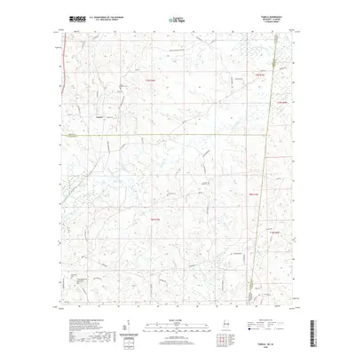 2020 Tamola2020 Print · USGSThe borderlands between Mississippi and Alabama are documented here during a period of modern rural continuity. Researchers can locate family roots and historical landmarks like the Lauderdale Springs Confederate Union Cem, Tamola, and Anna York Cem.
 - 2020 Map of Kewanee, 2020 Print
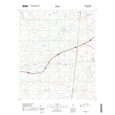 2020 Kewanee2020 Print · USGSThe interstate corridor between Mississippi and Alabama crosses a landscape of rural settlements and winding creeks in this recent survey. Local historians can trace family roots through several landmarks including Kelly Cem, Smith, and the town of Cuba.
 - 2020 Map of Whynot, 2020 Print
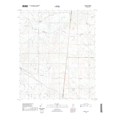 2020 Whynot2020 Print · USGSThe Mississippi-Alabama borderlands come into focus in this contemporary survey of Lauderdale and Sumter Counties. Genealogists can trace family names and local landmarks through sites like McMurry Cem, Alamucha, and the community of Whynot.
Showing maps 1-25 of 52
Top cities of Sumter County
- Livingston historical maps
- York historical maps
- Bellamy historical maps
- Cuba historical maps
- Epes historical maps
- Gainesville historical maps
See more
Frequently asked questions
- What are the different types of historical maps available for Sumter County?
- What is the oldest map of Sumter County?
- Where can I purchase historical maps of Sumter County for my home or office?
- Where can I download high-res historical maps of Sumter County?
- Are there historical topographic maps available for Sumter County?
- Is there historical aerial imagery available for Sumter County?
- Where are historical maps of Sumter County sourced from?