2020s Maps of Washington County, Alabama
Explore 52 historic maps of Washington County from the 2020s. These maps offer a rare glimpse into what life looked like during the 2020s — showing old roads, neighborhoods, homes, and landmarks that have changed or disappeared over time.
Whether you're researching your family's past, planning a metal detecting trip, or studying how Washington County's landscape evolved across the 2020s, these high-resolution maps are a powerful tool for exploring the history of this region.
- Focus on a specific era: All maps on this page are from the 2020s, giving you a focused view of this time period.
- See what’s changed: Compare century-old streets, trails, and buildings to today's modern landscape using overlays and satellite layers.
- Research with precision: Use these maps for genealogy, historical research, land use analysis, or educational projects.
- View, download, or print: Maps are fully viewable online in high resolution, and can be downloaded or printed for your own records.
Start exploring Washington County's history through authentic maps from the 2020s. This is your window into the past.
Washington County, AL maps
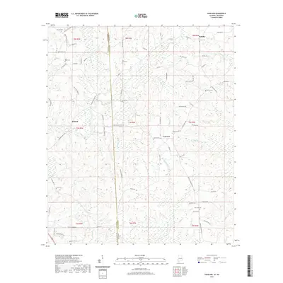
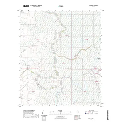
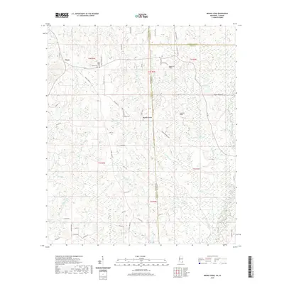
(52)- 2020 Map of Deer Park, 2020 Print
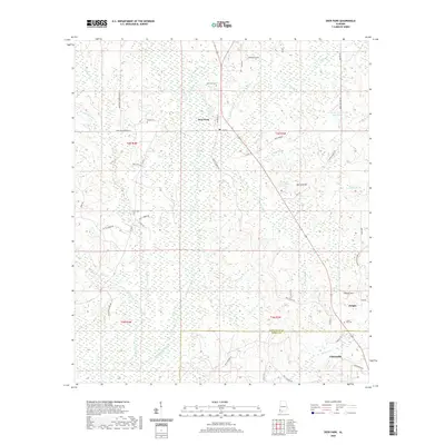 2020 Deer Park2020 Print · USGSCovers Washington County, including Citronelle, Deer Park, and other nearby areas
 - 2020 Map of Chatom, 2020 Print
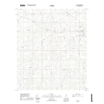 2020 Chatom2020 Print · USGSCovers Washington County, including Chatom, Laton Hill, and other nearby areas
 - 2020 Map of Millry North, 2020 Print
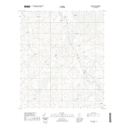
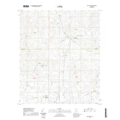 2020 Millry North2020 Print · USGSCovers Washington County, including Millry, Silas, and other nearby areas
 - 2020 Map of Bladon Springs, 2020 Print
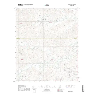 2020 Bladon Springs2020 Print · USGSCovers Washington County, including Silver Cross, Bladon Springs, and other nearby areas
 - 2020 Map of Calvert, 2020 Print
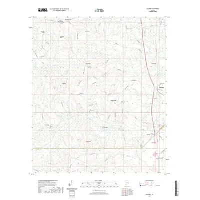 2020 Calvert2020 Print · USGSCovers Washington County, including Mount Vernon, Calvert, and other nearby areas
 - 2020 Map of Saint Stephens, 2020 Print
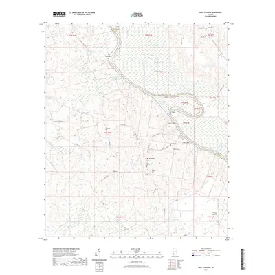 2020 Saint Stephens2020 Print · USGSCovers Washington County, including Saint Stephens, Wilson, and other nearby areas
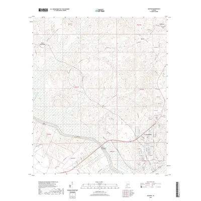
 - 2020 Map of Aquilla, 2020 Print
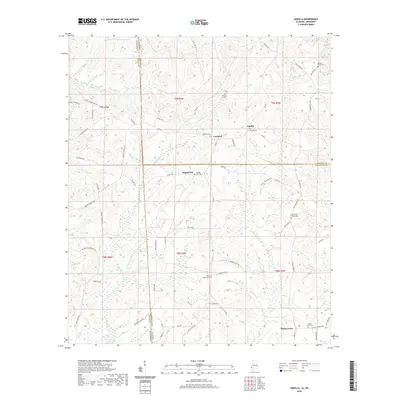 2020 Aquilla2020 Print · USGSCovers Washington County, including Aquilla, Contwell, and other nearby areas
 - 2020 Map of Millry South, 2020 Print
 2020 Millry South2020 Print · USGSCovers Washington County, including Millry, Barlow, and other nearby areas
 - 2020 Map of Copeland, 2020 Print
 2020 Copeland2020 Print · USGSCovers Washington County, including Mehaffey, Copeland, and other nearby areas
 - 2020 Map of Bigbee, 2020 Print
 2020 Bigbee2020 Print · USGSCovers Washington County, including Ellisville, Bigbee, and other nearby areas
 - 2020 Map of Sims Chapel, 2020 Print
 2020 Sims Chapel2020 Print · USGSCovers Washington County, including Citronelle, Sims Chapel, and other nearby areas
 - 2020 Map of Fruitdale, 2020 Print
 2020 Fruitdale2020 Print · USGSCovers Washington County, including Epworth, Escatawpa, and other nearby areas
 - 2020 Map of Wagarville, 2020 Print
 2020 Wagarville2020 Print · USGSCovers Washington County, including Cortelyou, Sunflower, and other nearby areas
 - 2020 Map of Vinegar Bend, 2020 Print
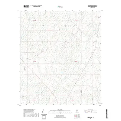 2020 Vinegar Bend2020 Print · USGSCovers Washington County, including Vinegar Bend, Four Point, and other nearby areas
 - 2020 Map of McIntosh, 2020 Print
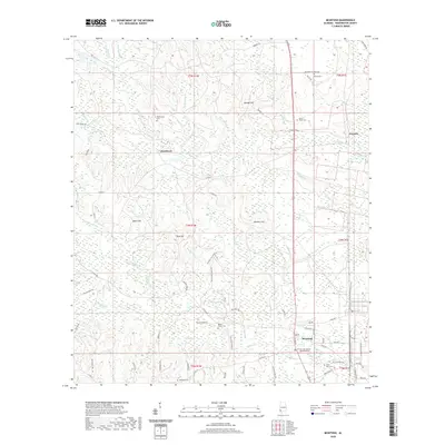 2020 McIntosh2020 Print · USGSCovers Washington County, including McIntosh, Hawthorn, and other nearby areas
 - 2020 Map of Tattlersville, 2020 Print
 2020 Tattlersville2020 Print · USGSCovers Washington County, including Coffeeville, Salitpa, and other nearby areas
 - 2020 Map of Citronelle West, 2020 Print
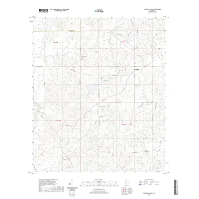 2020 Citronelle West2020 Print · USGSCovers Washington County, including Citronelle, Mobile County, and other nearby areas
 - 2020 Map of Rutan, 2020 Print
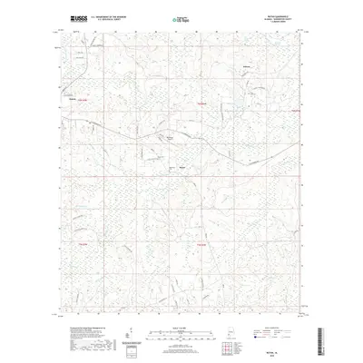 2020 Rutan2020 Print · USGSCovers Washington County, including Chatom, Rutan, and other nearby areas
 - 2020 Map of Seaboard, 2020 Print
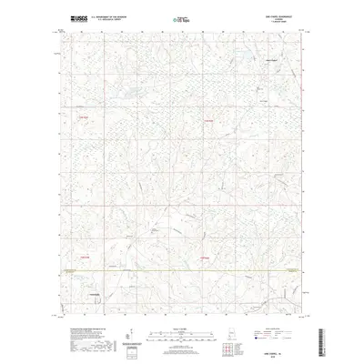
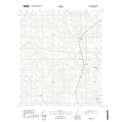
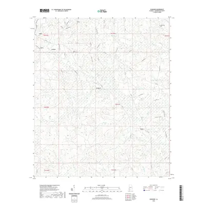 2020 Seaboard2020 Print · USGSCovers Washington County, including Uniform, Seaboard, and other nearby areas
 - 2020 Map of Bilbo Island, 2020 Print
 2020 Bilbo Island2020 Print · USGSCovers Washington County, including Mobile County, Baldwin County, and other nearby areas
 - 2020 Map of Ginhouse Island, 2020 Print
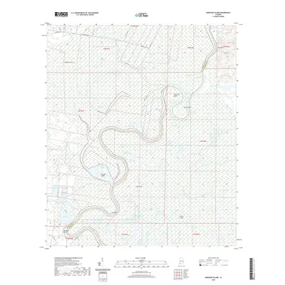 2020 Ginhouse Island2020 Print · USGSCovers Washington County, including Clarke County, United States, and other nearby areas
 - 2020 Map of Jackson, 2020 Print
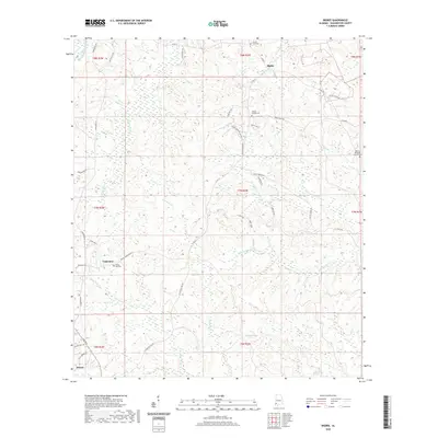
 2020 Jackson2020 Print · USGSCovers Washington County, including Jackson, Leroy, and other nearby areas
 - 2020 Map of Prestwick, 2020 Print
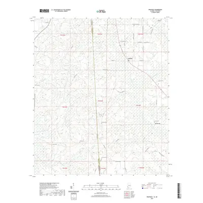
 2020 Prestwick2020 Print · USGSCovers Washington County, including Jackson, Prestwick, and other nearby areas
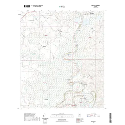
 - 2020 Map of State Line, 2020 Print
 2020 State Line2020 Print · USGSCovers Washington County, including State Line, Eret, and other nearby areas
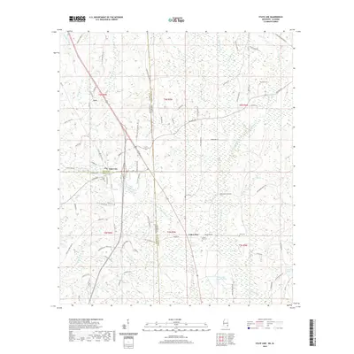
 - 2020 Map of Brown Town, 2020 Print
 2020 Brown Town2020 Print · USGSCovers Washington County, including Brown Town, Pisgah, and other nearby areas
Showing maps 1-25 of 52
Top cities of Washington County
- Chatom historical maps
- Leroy historical maps
- Millry historical maps
- Calvert historical maps
- McIntosh historical maps
Frequently asked questions
- What are the different types of historical maps available for Washington County?
- What is the oldest map of Washington County?
- Where can I purchase historical maps of Washington County for my home or office?
- Where can I download high-res historical maps of Washington County?
- Are there historical topographic maps available for Washington County?
- Is there historical aerial imagery available for Washington County?
- Where are historical maps of Washington County sourced from?