2000s (21st Century) Maps of Washington County, Alabama
Explore 130 historic maps of Washington County from the 2000s (21st Century). These maps offer a rare glimpse into what life looked like during the 2000s — showing old roads, neighborhoods, homes, and landmarks that have changed or disappeared over time.
Whether you're researching your family's past, planning a metal detecting trip, or studying how Washington County's landscape evolved across the 2000s, these high-resolution maps are a powerful tool for exploring the history of this region.
- Focus on a specific era: All maps on this page are from the 2000s, giving you a focused view of this time period.
- See what’s changed: Compare century-old streets, trails, and buildings to today's modern landscape using overlays and satellite layers.
- Research with precision: Use these maps for genealogy, historical research, land use analysis, or educational projects.
- View, download, or print: Maps are fully viewable online in high resolution, and can be downloaded or printed for your own records.
Start exploring Washington County's history through authentic maps from the 2000s. This is your window into the past.
Washington County, AL maps
(130)- 2011 Map of Jackson, 2011 Print
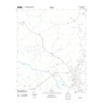 2011 Jackson2011 Print · USGSJackson and the riverfront communities of Clarke County are documented here during a period of sustained industrial and rural activity. Researchers can trace the legacy of local families through Upper Salt Works, Dubose Landing, and Stave Creek Cemetery.
 - 2011 Map of Bilbo Island, 2011 Print
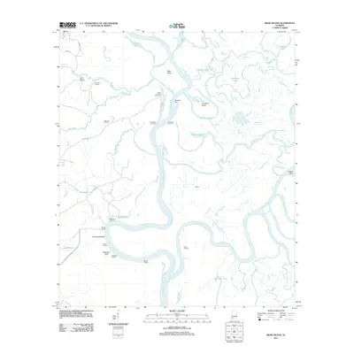 2011 Bilbo Island2011 Print · USGSThe confluence of the Tombigbee and Alabama rivers comes alive in this study of Mobile County's river delta at the start of the 2010s. Researchers can locate remote river outposts and local landmarks like Big John Cemetery, Nanahubba Bluff, and Bates Landing Fish Camp.
 - 2011 Map of Bladon Springs, 2011 Print
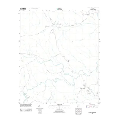 2011 Bladon Springs2011 Print · USGSWashington County at the start of the 2010s remains a landscape of quiet crossroads and historic springs. Genealogists can trace family roots through numerous burial sites like Bladon Springs Cemetery and Grenade Cemetery, or locate the Frankville Post Office.
 - 2011 Map of Bigbee, 2011 Print
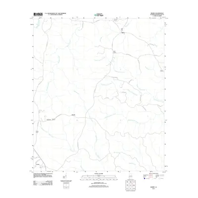 2011 Bigbee2011 Print · USGSBigbee and Ellisville are shown in the early twenty-first century as a landscape of timberlands and creek bottoms in Washington County. Genealogists can trace family connections at Three Forks Cemetery, Wesley Chapel Cemetery, or the Bigbee Post Office.
 - 2011 Map of Copeland, 2011 Print
 2011 Copeland2011 Print · USGSThe Alabama-Mississippi borderlands appear here in the early twenty-first century, showing a rural landscape defined by the Escatawpa River. Genealogists can trace family roots through numerous burial sites including Zion Rest Cemetery, Antioch Cemetery, and Lewis Chapel Cemetery.
 - 2011 Map of Calvert, 2011 Print
 2011 Calvert2011 Print · USGSCoastal Alabama's rural interior comes to life in this early twenty-first-century survey of the communities north of Mobile. Researchers can trace family history through a series of local landmarks including the Weaver Community House, Reid Settlement, and Calvert Cemetery.
 - 2011 Map of Citronelle West, 2011 Print
 2011 Citronelle West2011 Print · USGSCoastal Alabama at the start of the 2010s shows a landscape of scattered family cemeteries and winding creek bottoms west of Citronelle. Researchers can locate ancestral sites like Brannon Cemetery and Baxter Will Cemetery or trace the Escatawpa River through the pines.
 - 2011 Map of Aquilla, 2011 Print
 2011 Aquilla2011 Print · USGSChoctaw County at the start of the 2010s reveals a quiet landscape of timberlands, oil fields, and small family settlements. Researchers can locate several historic burial grounds including Old Aquilla Cemetery and trace the Zion Chapel Oil Field.
 - 2011 Map of Millry South, 2011 Print
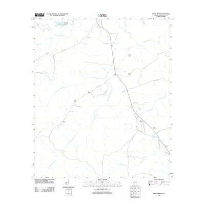 2011 Millry South2011 Print · USGSWashington County settlement patterns are preserved in this 2011 survey of the Millry area, showing small communities and family-named roads. Trace local heritage through landmarks like Barlow Cemetery, the settlement of Fitee, and the waters of Santa Bogue Creek.
 - 2011 Map of Saint Stephens, 2011 Print
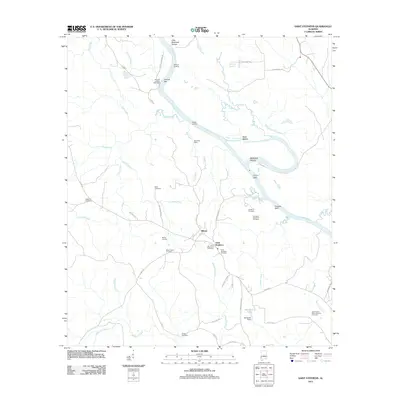 2011 Saint Stephens2011 Print · USGSThe Tombigbee River corridor near the historic settlement of Saint Stephens is documented here in the early twenty-first century. Genealogists and local historians can trace numerous burial sites including Old Saint Stephens Cemetery and Mount Nebo Cemetery, while river charts reveal Little McGrews Shoals and Peavys Bar.
 - 2011 Map of Seaboard, 2011 Print
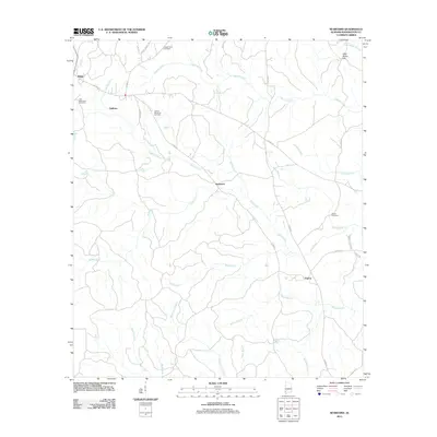 2011 Seaboard2011 Print · USGSSoutheastern Washington County appears here in the early twenty-first century, showing a rural landscape shaped by winding creeks and family-named landmarks. Genealogists and local historians can locate several burial grounds, including Old Methodist Cemetery and Chalker Memorial Cemetery, alongside the small settlements of Uniform and Seaboard.
 - 2011 Map of Chatom, 2011 Print
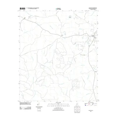 2011 Chatom2011 Print · USGSChatom and the wetlands of Washington County are shown here in the early twenty-first century, before recent growth. Genealogists can locate several historic burial grounds like Laton Hill Cemetery and Fairhope Cemetery, or trace the path of Creeping Swamp Creek.
 - 2011 Map of Fruitdale, 2011 Print
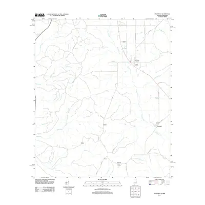 2011 Fruitdale2011 Print · USGSFruitdale and the surrounding Washington County countryside are shown here in the early twenty-first century, as the local road network and creek systems define the landscape. Genealogists can trace family names through several rural burial sites, including Macedonia Cemetery, Grimes Cemetery, and Williams Cemetery.
 - 2011 Map of Millry North, 2011 Print
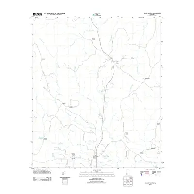 2011 Millry North2011 Print · USGSSouthwest Alabama in the early 2010s remains a landscape of quiet rural settlements and family-named crossroads. Researchers can trace local heritage through numerous landmarks like Healing Springs, Cullomburg, and Winsletts Cemetery along Mill Creek.
 - 2011 Map of McIntosh, 2011 Print
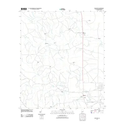 2011 McIntosh2011 Print · USGSCoastal plain settlements in Washington County are documented here during the early twenty-first century, centered on the community of McIntosh. Genealogists can trace family names through numerous burial sites like Reeds Chapel Cemetery and Washington Cemetery.
 - 2011 Map of Deer Park, 2011 Print
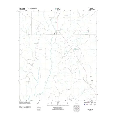 2011 Deer Park2011 Print · USGSMobile County's timber and river country is captured here just over a decade ago, where the Escataupa River meets a network of historic rural roads. Researchers can locate family landmarks such as Weldy Cemetery, Shiloh Cemetery, and the Deer Park Post Office.
 - 2011 Map of Ginhouse Island, 2011 Print
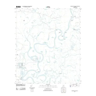 2011 Ginhouse Island2011 Print · USGSThe Tombigbee River meanders through the Alabama wetlands in this recent survey, showcasing a complex network of oxbow lakes and secondary guts. Researchers can trace riverfront access at Oven Landing, explore Ginhouse Island, or locate the D R Dunlap Estate Dam.
 - 2011 Map of Prestwick, 2011 Print
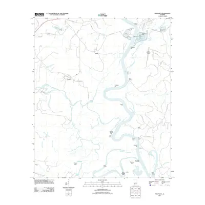 2011 Prestwick2011 Print · USGSClarke County's riverfront landscape is frozen in time along the Tombigbee River in the early twenty-first century. Genealogists and historians can locate family-named sites like Brown Cemetery, Harrells Quarters, and the crossing at German Ford.
 - 2011 Map of Rutan, 2011 Print
 2011 Rutan2011 Print · USGSWashington County during the early twenty-first century reveals a landscape of quiet settlements and winding creek branches. Genealogists can trace family names through landmarks like Pine Level Cemetery, Rutan, and the Lee Anderson Dam.
 - 2011 Map of Sims Chapel, 2011 Print
 2011 Sims Chapel2011 Print · USGSMobile County, Alabama, is documented here in the early twenty-first century as a landscape of timber management and rural crossroads. Researchers can trace family history at several burial sites including Red Wash Cemetery, Sawyer Cemetery, and Carlow Cemetery.
 - 2011 Map of Wagarville, 2011 Print
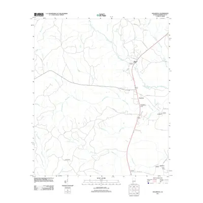 2011 Wagarville2011 Print · USGSWashington County at the start of the 2010s reveals a landscape of dispersed settlements and family burial grounds connected by logging roads. You can trace local lineage through the Ebenezer Cemetery and Sunflower Post Office or follow the winding course of Bassetts Creek.
 - 2011 Map of Vinegar Bend, 2011 Print
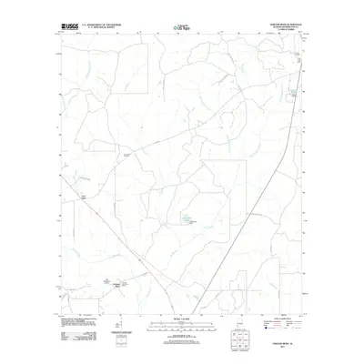 2011 Vinegar Bend2011 Print · USGSWashington County at the turn of the decade is documented here through its quiet rural settlements and river-fed landscape. Genealogists and local historians can locate family landmarks like Tibbie Cemetery, Four Points Cemetery, and the Vinegar Bend Post Office.
 - 2011 Map of Tattlersville, 2011 Print
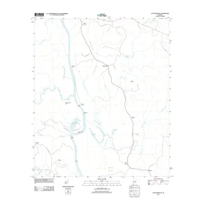 2011 Tattlersville2011 Print · USGSClarke County's river-dependent settlements and family lands are well-documented in this early twenty-first-century survey. Researchers can trace the riverfront at Baileys Landing or locate ancestral burial sites at Thornton Cemetery and Jordan Cemetery.
 - 2012 Map of State Line, 2012 Print
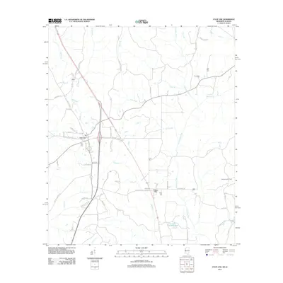 2012 State Line2012 Print · USGSThe Mississippi-Alabama borderlands come into focus in the early 2010s, showing a landscape of timberlands and river drainages. You can trace family history through local sites like State Line Cemetery or locate the Milstead Lookout Tower and Chatom Gas Field.
 - 2012 Map of Brown Town, 2012 Print
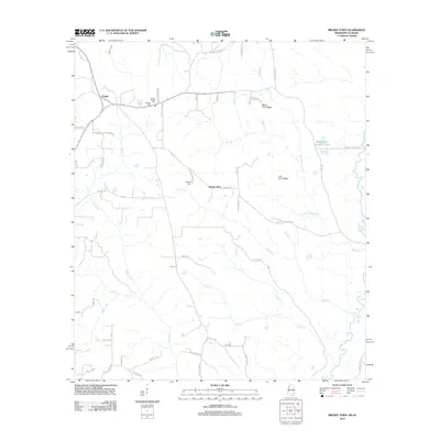 2012 Brown Town2012 Print · USGSThe Mississippi-Alabama borderlands come into focus in the early 2010s, showing a landscape defined by the Escatawpa River and rural family settlements. Researchers can trace local genealogy through the Mount Pisgah Cem and Maples Cem, or locate landmarks like Mash Fork Ridge.
Showing maps 1-25 of 130
Top cities of Washington County
- Chatom historical maps
- Leroy historical maps
- Millry historical maps
- Calvert historical maps
- McIntosh historical maps
Frequently asked questions
- What are the different types of historical maps available for Washington County?
- What is the oldest map of Washington County?
- Where can I purchase historical maps of Washington County for my home or office?
- Where can I download high-res historical maps of Washington County?
- Are there historical topographic maps available for Washington County?
- Is there historical aerial imagery available for Washington County?
- Where are historical maps of Washington County sourced from?