Old Maps of Troweek, Arizona for Metal Detecting
Plan your next treasure hunt with 14 historic maps of Troweek. Find old homesites, ghost towns, trails, and gathering spots that may be lost to time — perfect for identifying promising metal detecting locations.
- Locate forgotten sites: Uncover places like long-lost settlements, abandoned rail lines, or gathering spots.
- Plan better hunts: Use map overlays combined with LiDAR or satellite views to narrow in on historically rich areas.
- Made for detectorists: Thousands of hobbyists use these maps to discover relics, coins, and hidden history.
Use these historic maps to boost your research and find new opportunities beneath the surface of Troweek.
Troweek, AZ maps
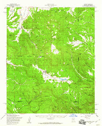
(14)- 1922 Map of Nutrioso
 1922 Nutrioso1922 Print · USGSHigh-altitude ranching and forest service outposts define the Arizona-New Mexico border in the early twenties. Researchers can trace remote family landmarks like Reservation Ranch and Colter's Res. or locate early settlements at Nutrioso and Alpine.
 - 1954 Map of Clifton, 1968 Print
 1954 Clifton1968 Print · USGSThe high timber and copper country of the Arizona-New Mexico border is captured here during the mid-fifties. Genealogists and historians can trace family holdings like the Double Circle Ranch or study the industrial footprint of the Smelting Plant at Clifton.3 unique versions available
 - 1957 Map of Clifton
 1957 Clifton1957 Print · USGSThe copper-mining district around Clifton and Morenci meets the high timberlands of the Mogollon Rim during the mid-1950s. Genealogists and researchers can trace family-named outposts and remote mountain settlements like Reserve, Stargo, and Fort Thomas.
 - 1958 Map of Clifton
 1958 Clifton1958 Print · USGSThe rugged high country of the Arizona-New Mexico border comes into focus in the mid-fifties, showing a landscape of mining camps and forest outposts. Genealogists and researchers can trace old settlements and remote sites like Mogollon, East Fork Mission, and the Tidwell Mine.
 - 1958 Map of Alpine, 1960 Print
 1958 Alpine1960 Print · USGSThe high country of the Arizona-New Mexico border is captured here during the late fifties, showing a landscape defined by timber, ranching, and remote forest outposts. Genealogists and historians can locate specific sites like the Alpine Timber Camp, the White Mountain Boys Ranch, and old mountain springs such as Whitetail Spring.3 unique versions available
 - 1962 Map of Clifton
 1962 Clifton1962 Print · USGSThe copper-rich Arizona-New Mexico borderlands come into focus in the early sixties, centered on the mining complexes of Morenci and Clifton. Researchers can trace the Southern Pacific rail lines and locate remote outposts like Honeymoon and the Double Circle Ranch.
 - 1981 Map of Nutrioso, 1996 Print
 1981 Nutrioso1996 Print · USGSEastern Arizona and the New Mexico borderlands are captured here in the early eighties, showcasing a vast expanse of national forest and tribal lands. Researchers can trace the high-country routes between Nutrioso, Alpine, and Whiteriver, or locate landmarks along the Mogollon Rim and Black River.2 unique versions available
 - 1991 Map of Escudilla Mountain
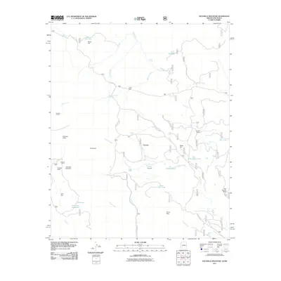
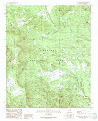 1991 Escudilla Mountain1991 Print · USGSHigh-altitude wilderness and forest lands define the Arizona-New Mexico border in the 1990s. Researchers can trace remote alpine hydrology and landmarks from Profanity Ridge to the waters of Romero Lake and McFate Spring.
 - 1997 Map of Escudilla Mountain, 2000 Print
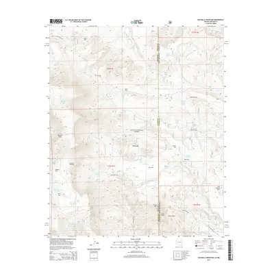
 1997 Escudilla Mountain2000 Print · USGSHigh-altitude peaks and the Arizona-New Mexico state line define this wilderness area during the late nineties. Local history hunters can trace early water management at ELC Flat Tank and landmarks like Profanity Ridge or the Cinder Pit.
 - 2005 Map of Escudilla Mountain, 2006 Print
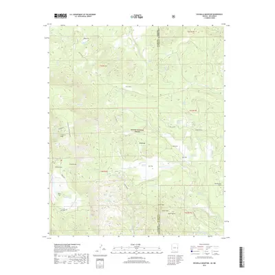
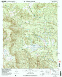 2005 Escudilla Mountain2006 Print · USGSThe high-country border between Arizona and New Mexico is captured here in the mid-2000s, showing a land of forest management and wilderness preservation. Map researchers can locate the Escudilla Lookout and trace water sources like Lake Erin and McFate Spring.
 - 2011 Map of Escudilla Mountain, 2011 Print
 2011 Escudilla Mountain2011 Print · USGSCovers Troweek, including Apache County, Catron County, and other nearby areas
 - 2014 Map of Escudilla Mountain, 2014 Print
 2014 Escudilla Mountain2014 Print · USGSCovers Troweek, including Apache County, Catron County, and other nearby areas
 - 2018 Map of Escudilla Mountain, 2018 Print
 2018 Escudilla Mountain2018 Print · USGSCovers Troweek, including Apache County, Catron County, and other nearby areas
 - 2021 Map of Escudilla Mountain, 2021 Print
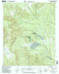
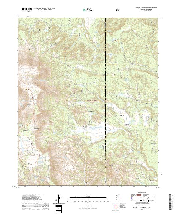 2021 Escudilla Mountain2021 Print · USGSThe high peaks of the Arizona-New Mexico border come into focus in this contemporary survey of the White Mountains. Trace remote wilderness access via the Escudilla National Recreation Trl and locate high-country landmarks like Troweek and Hellroaring Mesa.
End of results
Showing maps 1-14 of 14
Top cities near Troweek
Frequently asked questions
- What are the different types of historical maps available for Troweek?
- What is the oldest map of Troweek?
- Where can I purchase historical maps of Troweek for my home or office?
- Where can I download high-res historical maps of Troweek?
- Are there historical topographic maps available for Troweek?
- Is there historical aerial imagery available for Troweek?
- Where are historical maps of Troweek sourced from?