2010s Maps of Chinle Agency, Arizona
Explore 219 historic maps of Chinle Agency from the 2010s. These maps offer a rare glimpse into what life looked like during the 2010s — showing old roads, neighborhoods, homes, and landmarks that have changed or disappeared over time.
Whether you're researching your family's past, planning a metal detecting trip, or studying how Chinle Agency's landscape evolved across the 2010s, these high-resolution maps are a powerful tool for exploring the history of this region.
- Focus on a specific era: All maps on this page are from the 2010s, giving you a focused view of this time period.
- See what’s changed: Compare century-old streets, trails, and buildings to today's modern landscape using overlays and satellite layers.
- Research with precision: Use these maps for genealogy, historical research, land use analysis, or educational projects.
- View, download, or print: Maps are fully viewable online in high resolution, and can be downloaded or printed for your own records.
Start exploring Chinle Agency's history through authentic maps from the 2010s. This is your window into the past.
Chinle Agency, AZ maps
(219)- 2010 Map of Tsaile Butte, 2010 Print
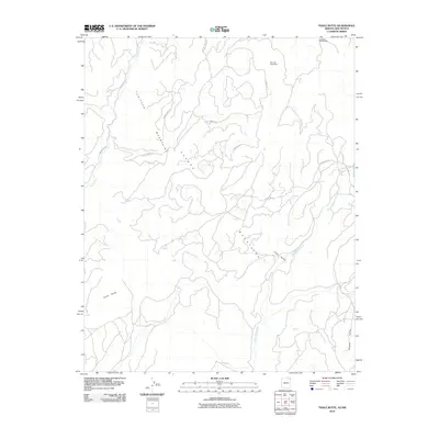 2010 Tsaile Butte2010 Print · USGSHigh desert peaks and deep valleys define this corner of the Shiprock Agency during the early twenty-first century. Genealogists and historians can locate family-named sites like Carl Yazzie Number One or trace the terrain near Tsaile Butte and the Bee Sho Shee Mine.
 - 2010 Map of Roof Butte, 2010 Print
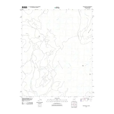 2010 Roof Butte2010 Print · USGSThe Shiprock Agency high country is documented here in the early twenty-first century as it appeared across the Chuska Mountains. Researchers can trace old mining interests at the Enos Johnson Mine and locate landmarks like Roof Butte and Snake Bridge.
 - 2010 Map of Upper Wheatfields, 2010 Print
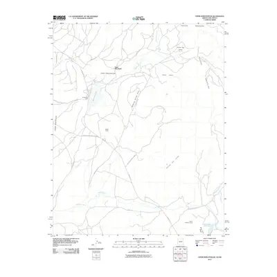 2010 Upper Wheatfields2010 Print · USGSThe high plateau of the Arizona-New Mexico border is captured here during a time of continued reliance on traditional mountain routes and vital water sources. Researchers can trace the relationship between settlements like White Cone and water features like Wheatfields Lake and Little White Cone Lake.
 - 2011 Map of Toadlena, 2011 Print
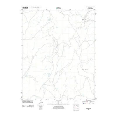 2011 Toadlena2011 Print · USGSThe Navajo Nation high country is captured here during the early twenty-first century, centered on the historic trading community of Toadlena. Researchers can trace the network of Indian Service Route 19 past the Toadlena Post Office and Big Water Spring.
 - 2011 Map of Echo Canyon, 2011 Print
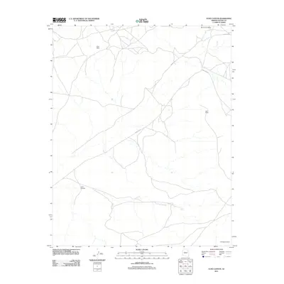 2011 Echo Canyon2011 Print · USGSNavajo County and the Chinle Agency are seen here in the early twenty-first century, showing the intersection of tribal routes and high desert terrain. Researchers can trace the path of Burnt Corn Wash and locate the remote Echo Spring.
 - 2011 Map of Dancing Rocks, 2011 Print
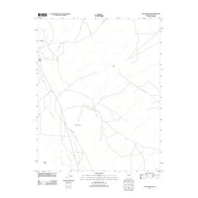 2011 Dancing Rocks2011 Print · USGSThe Shiprock Agency region of Arizona comes into focus in this 2011 survey, centered on the community of Rock Point. Trace the remote road networks and desert drainage systems including Lukachukai Wash and landmarks like Dancing Rocks.
 - 2011 Map of Rock Point SW, 2011 Print
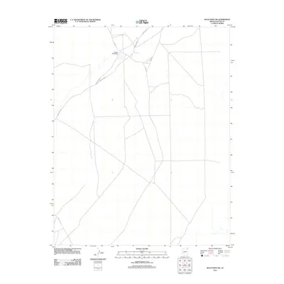 2011 Rock Point SW2011 Print · USGSNavajo Nation lands in Apache County are mapped here in the early twenty-first century, showing the remote road networks of the Shiprock Agency. Trace the intersection of Indian Rte 8070 and Co Rd 580 as they meet near the seasonal Trading Post Wash.
 - 2011 Map of Salina, 2011 Print
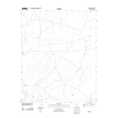 2011 Salina2011 Print · USGSThe high-desert terrain of Apache County comes into focus in this recent survey of the Navajo Nation. Researchers can trace the layout of the Salina settlement and locate Gormons Trading Post along the route of Indian Rte-251.
 - 2011 Map of Many Farms, 2011 Print
 2011 Many Farms2011 Print · USGSMany Farms and the surrounding canyons of the Chinle Agency are captured here during the early twenty-first century. Genealogists and historians can trace the road networks around Many Farms Lake and locate landmarks like the Many Farms Trading Post and Sheep Dip Canyon.
 - 2011 Map of Tsaile Butte, 2011 Print
 2011 Tsaile Butte2011 Print · USGSThe Arizona-New Mexico borderlands are captured here in the early twenty-first century, showing the high-elevation terrain of the Tunitcha Mountains. Local historians can trace the paths of Indian Rte 68 and Gap Springs Rd past landmarks like Tsaile Butte and Hidden Valley.
 - 2011 Map of Mexican Cry Mesa, 2011 Print
 2011 Mexican Cry Mesa2011 Print · USGSThe high mesas and canyons of Apache County are captured here in the early twenty-first century. Researchers can trace landforms and vital water sources like White Hair Spring, Cow Spring, and the prominent Mexican Cry Mesa across this complex landscape.
 - 2011 Map of Chinle, 2011 Print
 2011 Chinle2011 Print · USGSChinle and the surrounding Navajo Nation lands are shown in clear detail during the early twenty-first century. Genealogists and historians can trace community landmarks like the Chinle Cemetery, Tsos Trading Post, and the entrance to Canyon de Chelly.
 - 2011 Map of White Area Canyon, 2011 Print
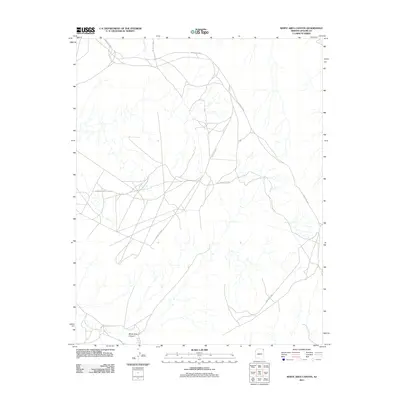 2011 White Area Canyon2011 Print · USGSThe Shiprock Agency region of Apache County is shown here in the early twenty-first century, centered on its essential canyon geography. Researchers can trace the network of tribal roads like Indian Rte-5040 and locate water sources such as White Area Spring.
 - 2011 Map of Kinusta Mesa, 2011 Print
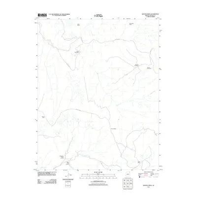 2011 Kinusta Mesa2011 Print · USGSThe high plateau of the Shiprock Agency is documented here in the early twenty-first century, showing a remote landscape of canyons and mesas. Researchers can trace the paths of Indian Rte-5037 past Altar Mesa and find drainage points like White Rock Wash..
 - 2011 Map of Toh De Niihe, 2011 Print
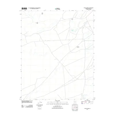 2011 Toh De Niihe2011 Print · USGSChinle Agency in the early 2010s reveals a landscape shaped by seasonal water and traditional routes. Local history researchers can trace the course of Balakai Wash, locate Bekihatso, and identify landforms such as White Horse Butte and Tse Lichii Dah Azka.
 - 2011 Map of Mud Spring, 2011 Print
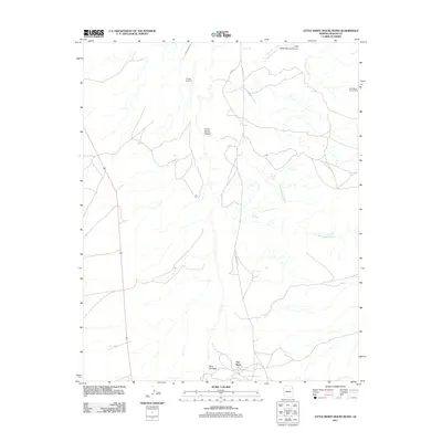 2011 Mud Spring2011 Print · USGSChinle Agency and its dramatic canyon systems are documented here during the early 21st century. Researchers can trace the proximity of Chinle Airport to ancient sites like the Little White House Ruins and the secluded Mud Springs.
 - 2011 Map of Roof Butte, 2011 Print
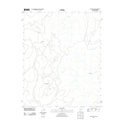 2011 Roof Butte2011 Print · USGSThe high desert borderlands of Arizona and New Mexico come into focus during the early twenty-first century. Researchers can trace the path of Indian Rte 13 across the Tunitcha Mountains and locate isolated landmarks like Snake Bridge.
 - 2011 Map of Three Turkey Canyon, 2011 Print
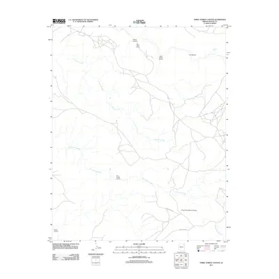 2011 Three Turkey Canyon2011 Print · USGSApache County's high-desert landscape is captured here in the early twenty-first century, showing the intricate drainage basins of the Navajo Nation. Trace the winding paths of Tiis Ndiitsooi Wash or locate remote landmarks like Three Turkey Natural Bridge and Sliding Rock Overlook.
 - 2011 Map of Upper Wheatfields, 2011 Print
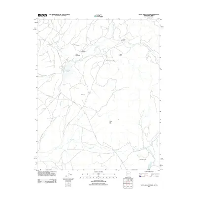 2011 Upper Wheatfields2011 Print · USGSThe Shiprock Agency high-desert landscape in the early twenty-first century is defined by remote springs and traditional travel routes. Genealogists and researchers can trace local water sources like Horse Spring and Teddy Chee Spring alongside landmarks such as White Cone.
 - 2011 Map of Cove, 2011 Print
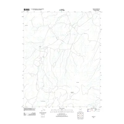 2011 Cove2011 Print · USGSThe Shiprock Agency region comes into focus during the early twenty-first century as a land of mountain peaks and desert springs. Researchers can trace rural settlement patterns near Cove and Yazzi, while locating remote landmarks like Royal Arch and Cottonwood Spring.
 - 2011 Map of Many Farms NE, 2011 Print
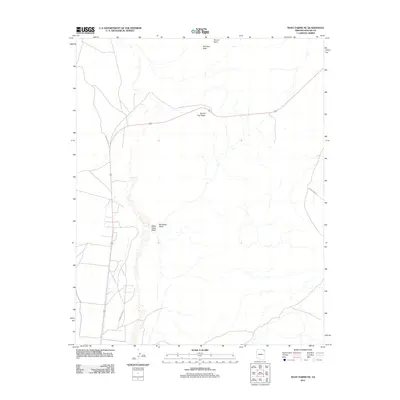 2011 Many Farms NE2011 Print · USGSHigh desert terrain in the Chinle Agency during the early 2010s reveals a landscape shaped by arid drainages and isolated landmarks. Researchers can trace the paths of Red Water Wash and locate specific features like Round Top Ridge and Window Rock.
 - 2011 Map of Lohali Point, 2011 Print
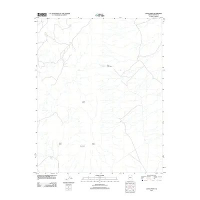 2011 Lohali Point2011 Print · USGSThe Chinle Agency highlands are documented here during the early twenty-first century, showcasing a landscape of mesa and basin. Researchers can locate named topographical markers such as Lohali Point, Sitting Rock, and Bitter Water Springs.
 - 2011 Map of Lukachukai, 2011 Print
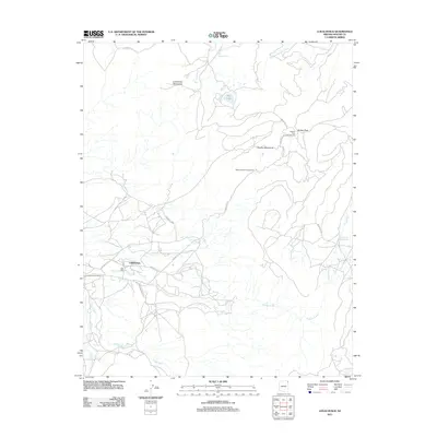 2011 Lukachukai2011 Print · USGSThe community of Lukachukai sits at the base of the high mountains during the early twenty-first century. Researchers can trace the local infrastructure and seasonal water sources like the Lukachukai Post Office, Buffalo Pass, and Big Lake.
 - 2011 Map of Ventana Mesa, 2011 Print
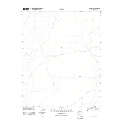 2011 Ventana Mesa2011 Print · USGSApache County high desert comes into focus in the early twenty-first century, showing the remote road networks and striking landforms of the Chinle Agency. Trace the paths of Indian Rte 8090 and locate landmarks like Hope Arch and Ventana Mesa.
 - 2011 Map of Del Muerto, 2011 Print
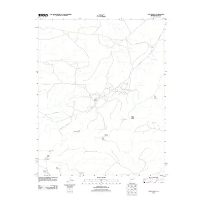 2011 Del Muerto2011 Print · USGSThe Navajo Nation's high desert plateaus are captured here in the early twenty-first century, centering on the community of Del Muerto. Researchers can locate historic viewpoints like Junction Overlook and significant cultural sites including the Navajo Fortress.
Showing maps 1-25 of 219
Top cities near Chinle Agency
Top neighborhoods of Chinle Agency
- Rocky Ridge historical maps
- Upper Wheatfields historical maps
- Wheatfields historical maps
- Totshoh historical maps
- Many Farms historical maps
- Whippoorwill Springs historical maps
See more
Frequently asked questions
- What are the different types of historical maps available for Chinle Agency?
- What is the oldest map of Chinle Agency?
- Where can I purchase historical maps of Chinle Agency for my home or office?
- Where can I download high-res historical maps of Chinle Agency?
- Are there historical topographic maps available for Chinle Agency?
- Is there historical aerial imagery available for Chinle Agency?
- Where are historical maps of Chinle Agency sourced from?