1970s Maps of Chinle Agency, Arizona
Explore 11 historic maps of Chinle Agency from the 1970s. These maps offer a rare glimpse into what life looked like during the 1970s — showing old roads, neighborhoods, homes, and landmarks that have changed or disappeared over time.
Whether you're researching your family's past, planning a metal detecting trip, or studying how Chinle Agency's landscape evolved across the 1970s, these high-resolution maps are a powerful tool for exploring the history of this region.
- Focus on a specific era: All maps on this page are from the 1970s, giving you a focused view of this time period.
- See what’s changed: Compare century-old streets, trails, and buildings to today's modern landscape using overlays and satellite layers.
- Research with precision: Use these maps for genealogy, historical research, land use analysis, or educational projects.
- View, download, or print: Maps are fully viewable online in high resolution, and can be downloaded or printed for your own records.
Start exploring Chinle Agency's history through authentic maps from the 1970s. This is your window into the past.
Chinle Agency, AZ maps
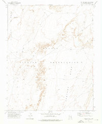
(11)- 1971 Map of Great Spring, 1973 Print
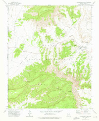
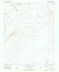
 1971 Great Spring1973 Print · USGSNavajo County was a landscape of shared land and resource extraction in the early 1970s. Trace the industrial footprint and vital water sources of the high desert at Great Spring, the Strip Mine, and the remote Landing Strip.3 unique versions available
 - 1972 Map of Tolani, 1975 Print
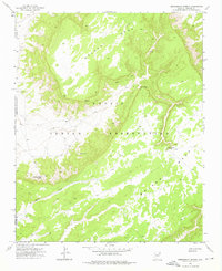
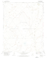 1972 Tolani1975 Print · USGSThe Navajo Indian Reservation in the early seventies shows a landscape of traditional grazing lands and seasonal washes. Researchers can trace the Old Indian Reservation Boundary and find remote sites like Tolani, Bekihatso, and local corrals.
 - 1972 Map of Blue Gap, 1975 Print
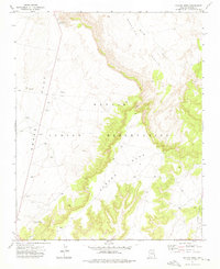
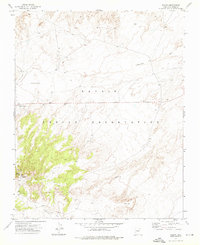
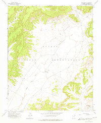 1972 Blue Gap1975 Print · USGSThe Navajo Nation high desert comes into focus in the 1970s, showing the community of Blue Gap and its surrounding tribal lands. Researchers can locate the Blue Gap Chapter House, the local Blue Gap Sch, and the Black Mountain Trading Post.
 - 1972 Map of Toadindaaska Mesa, 1976 Print
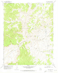
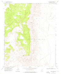
 1972 Toadindaaska Mesa1976 Print · USGSThe Navajo Indian Reservation in the early 1970s is shown here through its dramatic plateaus and critical water sources. You can trace early community infrastructure around the Chapter House and locate remote landmarks like Salina Springs and Balakani Mesa.
 - 1972 Map of Ventana Mesa, 1976 Print
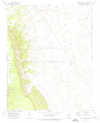
 1972 Ventana Mesa1976 Print · USGSApache County high desert lands in the early 1970s reveal a landscape of dramatic sandstone plateaus and ancient boundaries. Trace the winding Red Rock Rim and the historical Old Indian Reservation Boundary near the landmark of Tse Abe I.
 - 1972 Map of Ganado Mesa, 1976 Print
 1972 Ganado Mesa1976 Print · USGSThe Navajo Nation in Apache County comes into focus during the 1970s, showing a high-desert landscape of mesas and wide washes. Researchers can trace the Old Indian Reservation Boundary and locate landmarks like Snake Springs and the heights of Ganado Mesa.
 - 1972 Map of Lohali Point, 1976 Print
 1972 Lohali Point1976 Print · USGSHigh mesa country in Apache County was mapped in the early seventies, revealing a landscape of steep escarpments and remote trails. Genealogists and researchers can trace travel routes through Bitter Water Basin to Bitter Water Springs and the landmark Sitting Rock.
 - 1972 Map of Beeshsikad Spring, 1976 Print
 1972 Beeshsikad Spring1976 Print · USGSHigh-desert mesa country in the early seventies defines this portion of the Navajo Nation near the Apache and Navajo county line. Researchers can trace remote water sources and trails including Beeshsikad Spring, Owl Hat Point, and the Jadito Wash drainage.
 - 1972 Map of Toh De Niihe, 1976 Print
 1972 Toh De Niihe1976 Print · USGSApache County's high-desert terrain is captured here in the early seventies, detailing the remote landscape of the Navajo Nation. Genealogists and researchers can locate Bekihatso and trace seasonal waterways like Balakai Wash and Tse Ba Ni Zi Ni Wash.
 - 1972 Map of Steamboat Rock NE, 1976 Print
 1972 Steamboat Rock NE1976 Print · USGSThe Navajo Indian Reservation in the early 1970s is shown here as a landscape of high mesas and desert washes. Researchers can trace the rugged topography of Balakai Mesa and find localized landmarks like the Red Hill Windmill.
 - 1972 Map of Salina, 1976 Print
 1972 Salina1976 Print · USGSThe Navajo Indian Reservation in the early 1970s is documented here with a focus on its sparse desert settlements and critical water sources. Trace local history through Salina Springs, Bitterwater Well, and the winding path of Cottonwood Wash.
End of results
Showing maps 1-11 of 11
Top cities near Chinle Agency
Top neighborhoods of Chinle Agency
- Rocky Ridge historical maps
- Upper Wheatfields historical maps
- Wheatfields historical maps
- Totshoh historical maps
- Many Farms historical maps
- Whippoorwill Springs historical maps
See more
Frequently asked questions
- What are the different types of historical maps available for Chinle Agency?
- What is the oldest map of Chinle Agency?
- Where can I purchase historical maps of Chinle Agency for my home or office?
- Where can I download high-res historical maps of Chinle Agency?
- Are there historical topographic maps available for Chinle Agency?
- Is there historical aerial imagery available for Chinle Agency?
- Where are historical maps of Chinle Agency sourced from?