1950s Maps of Chinle Agency, Arizona
Explore 46 historic maps of Chinle Agency from the 1950s. These maps offer a rare glimpse into what life looked like during the 1950s — showing old roads, neighborhoods, homes, and landmarks that have changed or disappeared over time.
Whether you're researching your family's past, planning a metal detecting trip, or studying how Chinle Agency's landscape evolved across the 1950s, these high-resolution maps are a powerful tool for exploring the history of this region.
- Focus on a specific era: All maps on this page are from the 1950s, giving you a focused view of this time period.
- See what’s changed: Compare century-old streets, trails, and buildings to today's modern landscape using overlays and satellite layers.
- Research with precision: Use these maps for genealogy, historical research, land use analysis, or educational projects.
- View, download, or print: Maps are fully viewable online in high resolution, and can be downloaded or printed for your own records.
Start exploring Chinle Agency's history through authentic maps from the 1950s. This is your window into the past.
Chinle Agency, AZ maps
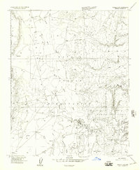
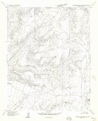
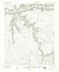
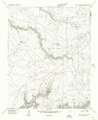
(46)- 1953 Map of Los Gigantes NE, 1954 Print
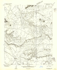
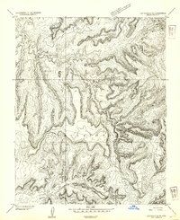 1953 Los Gigantes NE1954 Print · USGSNavajo Reservation lands in Apache County are captured here in the early fifties, documenting a landscape of high plateaus and vital waterways. Researchers can trace the path of Hasbidito Creek, locate the settlement at Cove, and identify specialized infrastructure like the tunnels.
 - 1953 Map of Los Gigantes NW, 1954 Print
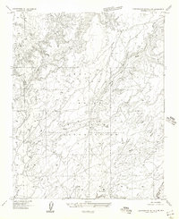
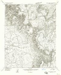
 1953 Los Gigantes NW1954 Print · USGSThe Navajo Nation's intricate canyon country is captured in the early 1950s through precise topographic surveying. Geologists and researchers can trace the winding course of Hasbidito Creek and examine the vast, unnamed mesa formations within the Navajo Indian Reservation.
 - 1953 Map of Redrock Valley SW, 1954 Print
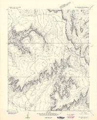
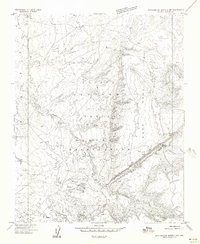
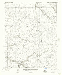
 1953 Redrock Valley SW1954 Print · USGSThe high plateau and mountain ranges of Apache County are captured here in the early fifties, showing the isolated outposts of the Navajo Indian Reservation. Researchers can trace the layout of the Cove School and locate the mountain-guarded Emergency Landing Strip and Natural Arch.
 - 1953 Map of Los Gigantes SE, 1954 Print
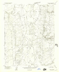
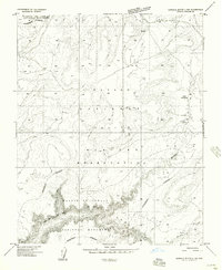
 1953 Los Gigantes SE1954 Print · USGSThe Navajo Nation in Apache County is captured here in the early fifties, showcasing a landscape defined by dramatic geological formations. Researchers can trace the rugged topography of Mexican Cry and the distinct plateaus of West Mesa and East Mesa.
 - 1953 Map of Los Gigantes SW, 1954 Print
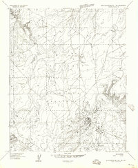
 1953 Los Gigantes SW1954 Print · USGSThe Navajo Indian Reservation comes into focus during the early fifties, showing the remote settlement patterns of northeast Arizona. Researchers can locate the Round Rock Trading Post and trace water sources like Hasbidito Spring and Lukachukai Creek.
 - 1953 Map of Los Gigantes Buttes, 1956 Print
 1953 Los Gigantes Buttes1956 Print · USGSThe Navajo reservation landscape of the early fifties was a world of remote trading posts and ancient landmarks. Genealogists and historians can locate the Lukachukai Trading Post, the Ruin site, and the high-altitude Mine workings near Los Gigantes Buttes.2 unique versions available
 - 1953 Map of Redrock Valley, 1956 Print
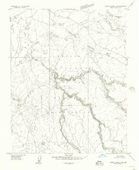
 1953 Redrock Valley1956 Print · USGSThe Navajo Nation's high-desert country comes into focus in the early fifties, where the Arizona and New Mexico borders meet. Geologists and local historians can trace the foundations of Red Rock and Black Rock, or locate early Mines and the remote Cove Sch.2 unique versions available
 - 1954 Map of Shiprock
 1954 Shiprock1954 Print · USGSThe Four Corners region in the mid-fifties reveals a vast landscape of tribal lands and desert landmarks. Researchers can trace the mid-century footprints of the Navajo Indian Reservation, identifying remote Trading Posts, the early growth of Farmington, and the iconic spire of Ship Rock.5 unique versions available
 - 1954 Map of Flagstaff, 1966 Print
 1954 Flagstaff1966 Print · USGSNorthern Arizona in the mid-fifties shows a landscape of volcanic peaks and ancestral mesa villages linked by the iconic U.S. 66. Trace the path of the Atchison Topeka and Santa Fe through Winslow or explore the settlements of Old Oraibi and Kearns Canyon.3 unique versions available
 - 1954 Map of Gallup, 1973 Print
 1954 Gallup1973 Print · USGSNative American tribal lands and the railroad corridor of the Southwest appear here at the midpoint of the century. Trace historic sites and remote settlements from Window Rock to the Fort Wingate Army Depot and Bibo.2 unique versions available
 - 1955 Map of Zith-Tusayan Butte 2 SE, 1957 Print
 1955 Zith-Tusayan Butte 2 SE1957 Print · USGSThe Navajo Indian Reservation in the mid-1950s is defined here by the high elevations of the Defiance Plateau. Trace historical land use and water sources through labels for Kin-li-chee Creek, Ruin Wash, and isolated Spring locations.
 - 1955 Map of Chinle 4 NE, 1957 Print
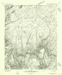
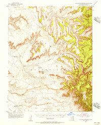
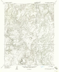
 1955 Chinle 4 NE1957 Print · USGSThe Navajo heartland comes into focus in the mid-fifties as the settlement at Chinle thrives near the ancient White House Ruins. Researchers can trace early reservation infrastructure including a Landing Strip, the Chinle Cemetery, and several traditional trading posts.
 - 1955 Map of Zith-Tusayan Butte 2 SW, 1957 Print
 1955 Zith-Tusayan Butte 2 SW1957 Print · USGSThe Defiance Plateau within the Navajo Indian Reservation is captured here in the mid-1950s, showing a landscape shaped by seasonal water. Researchers can trace the courses of Lone Tule Wash and Sage House Wash or locate the site of Kin-li-chee.
 - 1955 Map of Zith-Tusayan Butte 2 NW, 1957 Print
 1955 Zith-Tusayan Butte 2 NW1957 Print · USGSThe Navajo Nation in Apache County is captured here in the mid-1950s, centered on the high desert terrain of the Defiance Plateau. Researchers can trace early infrastructure around the Nazlini Trading Post or locate ancient sites marked simply as Ruins along the Nazlini Wash.
 - 1955 Map of Chinle 4 SE, 1957 Print
 1955 Chinle 4 SE1957 Print · USGSThe Navajo Nation's high-plateau country comes to life in this mid-century survey of the Arizona interior. Researchers can trace ancestral sites at the Little White House Ruins and locate vital water sources like Mud Springs and Nazlini Wash.
 - 1955 Map of Zith-Tusayan Butte 2 NE, 1957 Print
 1955 Zith-Tusayan Butte 2 NE1957 Print · USGSThe Navajo Nation's high country is captured here during the mid-fifties, centered on the drainage systems of the Defiance Plateau. Researchers can trace the early road network and locate remote water sources like Segetoa Spring and Fluted Rock.
 - 1955 Map of Sonsala Butte 1 NW, 1958 Print
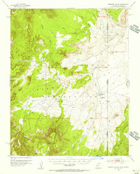
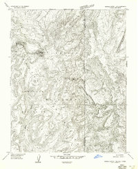
 1955 Sonsala Butte 1 NW1958 Print · USGSIn the mid-1950s, this area of the Navajo Nation was a landscape of mountain ridges and desert washes. Historians can trace the community life of Lukachukai through the St Isabel Mission, Lukachukai School, and the local trading post.
 - 1955 Map of Sonsala Butte 2 SW, 1958 Print
 1955 Sonsala Butte 2 SW1958 Print · USGSThe Navajo Indian Reservation and the high Defiance Plateau are captured here in the mid-1950s. Researchers can trace ancient history at Cliff Dwelling Ruins or locate isolated settlements like Bilasha and Owl Nest within the canyons.
 - 1955 Map of Sonsala Butte 4 NW, 1958 Print
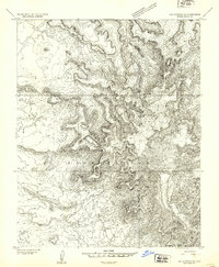
 1955 Sonsala Butte 4 NW1958 Print · USGSThe Navajo Indian Reservation and the high Defiance Plateau are captured here in the mid-fifties, showing the rugged approach to the Canyon De Chelly. Researchers can locate the settlement at Lower Wheatfields, a lone Grave, and the seasonal flows of Whiskey Creek.
 - 1955 Map of Sonsala Butte 3 SE, 1958 Print
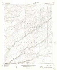
 1955 Sonsala Butte 3 SE1958 Print · USGSThe Navajo Indian Reservation and the depths of Canyon De Chelly are captured here in the mid-1950s. Researchers can trace historic access routes like the Gopher Foot Trail and locate landmarks such as Spider Rock and Face Rock.
 - 1955 Map of Sonsala Butte 2 NW, 1958 Print
 1955 Sonsala Butte 2 NW1958 Print · USGSThe Navajo Indian Reservation in the mid-1950s reveals a landscape of high plateaus and deep, winding canyons shaped by seasonal waters. Researchers can trace the drainage of Bihilinie Canyon and locate vital water sources like Round Rock Reservoir and Sitting Coyote Mesa.
 - 1955 Map of Sonsala Butte 1 SE, 1958 Print
 1955 Sonsala Butte 1 SE1958 Print · USGSThe high Lukachukai Mountains are captured in the mid-1950s at the intersection of the Arizona and New Mexico state lines. Researchers can trace the rugged topography of the Navajo Indian Reservation including Tsaile Peak, local Ruins, and the headwaters of Tsaile Creek.
 - 1955 Map of Sonsala Butte 1 NE, 1958 Print
 1955 Sonsala Butte 1 NE1958 Print · USGSHigh in the Tunitcha Mountains during the mid-1950s, this survey captures a rugged borderland within the Navajo Indian Reservation. Researchers can trace the drainage of Tsaile Creek and locate high-altitude landmarks like the Lookout on Roof Butte.
 - 1955 Map of Sonsala Butte 2 SE, 1958 Print
 1955 Sonsala Butte 2 SE1958 Print · USGSThe Navajo Indian Reservation and the deep gorges of Canyon de Chelly are captured here in the mid-1950s. Trace the remote network of Jeep Trails and essential water infrastructure like the Windmill and various earthen Dams across Defiance Plateau.
 - 1955 Map of Zith-Tusayan Butte 1 NW, 1958 Print
 1955 Zith-Tusayan Butte 1 NW1958 Print · USGSThe Defiance Plateau comes into focus in the mid-1950s, centering on the timber operations at Sawmill. Researchers can trace the layout of the local Cem, the infrastructure of the Millpond, and fire watch positions at Fluted Rock Lookout.
Showing maps 1-25 of 46
Top cities near Chinle Agency
Top neighborhoods of Chinle Agency
- Rocky Ridge historical maps
- Upper Wheatfields historical maps
- Wheatfields historical maps
- Totshoh historical maps
- Many Farms historical maps
- Whippoorwill Springs historical maps
See more
Frequently asked questions
- What are the different types of historical maps available for Chinle Agency?
- What is the oldest map of Chinle Agency?
- Where can I purchase historical maps of Chinle Agency for my home or office?
- Where can I download high-res historical maps of Chinle Agency?
- Are there historical topographic maps available for Chinle Agency?
- Is there historical aerial imagery available for Chinle Agency?
- Where are historical maps of Chinle Agency sourced from?