2020s Maps of Chinle Agency, Arizona
Explore 76 historic maps of Chinle Agency from the 2020s. These maps offer a rare glimpse into what life looked like during the 2020s — showing old roads, neighborhoods, homes, and landmarks that have changed or disappeared over time.
Whether you're researching your family's past, planning a metal detecting trip, or studying how Chinle Agency's landscape evolved across the 2020s, these high-resolution maps are a powerful tool for exploring the history of this region.
- Focus on a specific era: All maps on this page are from the 2020s, giving you a focused view of this time period.
- See what’s changed: Compare century-old streets, trails, and buildings to today's modern landscape using overlays and satellite layers.
- Research with precision: Use these maps for genealogy, historical research, land use analysis, or educational projects.
- View, download, or print: Maps are fully viewable online in high resolution, and can be downloaded or printed for your own records.
Start exploring Chinle Agency's history through authentic maps from the 2020s. This is your window into the past.
Chinle Agency, AZ maps
(76)- 2020 Map of Toadlena, 2020 Print
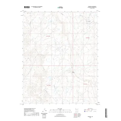 2020 Toadlena2020 Print · USGSThe high-desert terrain of the Shiprock Agency comes into focus in this recent survey of Northwestern New Mexico. Researchers can trace the drainage patterns of Captain Tom Wash, locate water sources like Big Water Spring, and explore the settlement of Toadlena.
 - 2021 Map of Tolani, 2021 Print
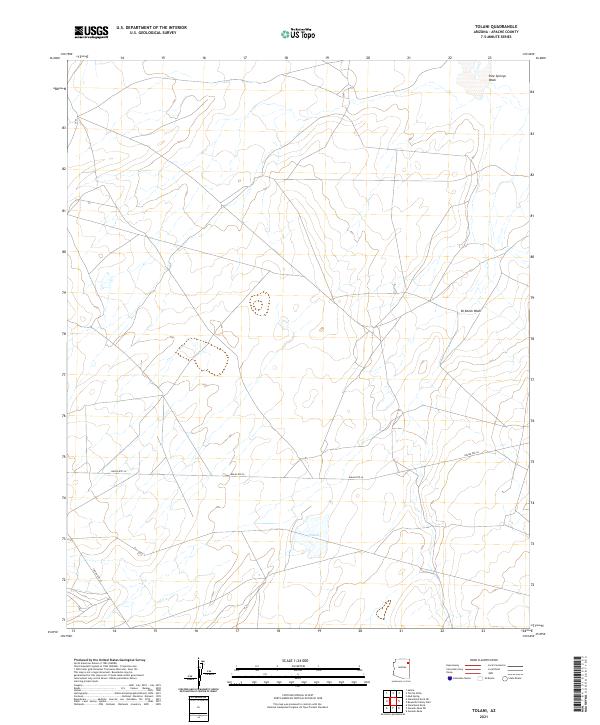 2021 Tolani2021 Print · USGSThe high-plateau landscape of Apache County is captured here in the early twenty-first century, centered on the community of Tolani. Researchers can trace the modern road network along Indian Rte 26 and locate features like Pine Springs Wash.
 - 2021 Map of Oak Creek Mountain, 2021 Print
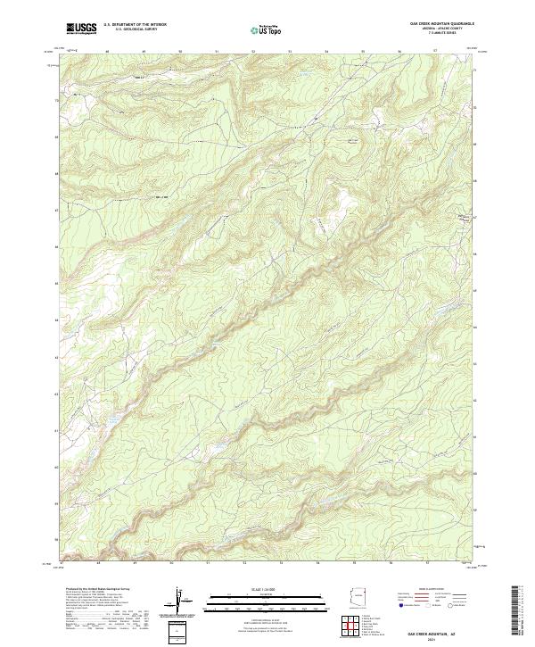 2021 Oak Creek Mountain2021 Print · USGSApache County's high-desert terrain is documented here in the early twenty-first century, showing the drainage patterns of the Defiance Plateau. Researchers can trace remote water sources like Tsegito Spring and Black Soil Spring along the many seasonal washes.
 - 2021 Map of Steamboat Rock NE, 2021 Print
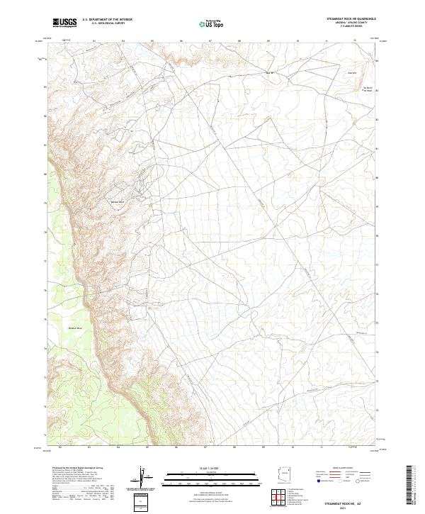 2021 Steamboat Rock NE2021 Print · USGSApache County's high-desert terrain is mapped here in the modern era, showing the relationship between massive mesa formations and ancient wash systems. Genealogists and researchers can trace tribal transportation routes like Indian Rte 454 and family landmarks such as Red Hill.
 - 2021 Map of Red Clay Wash, 2021 Print
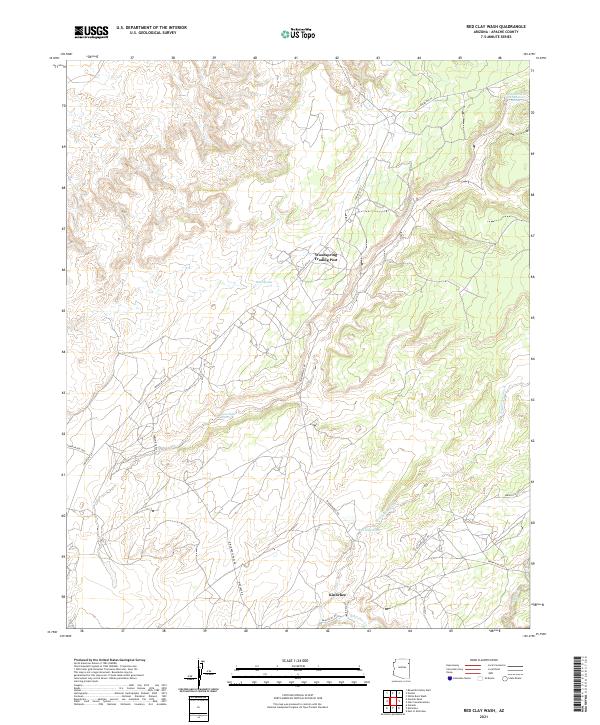 2021 Red Clay Wash2021 Print · USGSApache County high-desert terrain is documented here in the early twenty-first century, showcasing a landscape defined by trade and traditional routes. Researchers can trace the layout of Kinlichee and locate vital desert water sources like Wood Spring or the Woodspring Trading Post.
 - 2021 Map of Nazlini, 2021 Print
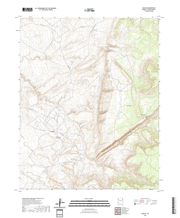 2021 Nazlini2021 Print · USGSThe community of Nazlini and its surrounding canyon country are captured here during the early twenty-first century. Researchers can trace the winding path of Nazlini Canyon and locate vital desert water sources like Tsegito Spring and Rock Top Wash.
 - 2021 Map of Beeshsikad Spring, 2021 Print
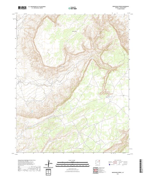 2021 Beeshsikad Spring2021 Print · USGSThe high mesas of Apache County are captured here in the early twenty-first century, showing a remote landscape defined by essential water sources. Researchers can trace the drainage of Jeddito Wash and locate vital desert landmarks like Beeshsikad Spring and Owl Hat Point.
 - 2021 Map of Beautiful Valley Well, 2021 Print
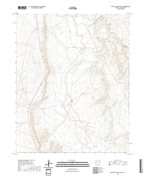 2021 Beautiful Valley Well2021 Print · USGSApache County's high desert landscape comes into focus in this contemporary survey of the Navajo Nation. Researchers can trace the essential water sources and tribal routes of the region, including Beautiful Valley Well and Flat Rock Reservoir.
 - 2021 Map of Ganado Mesa, 2021 Print
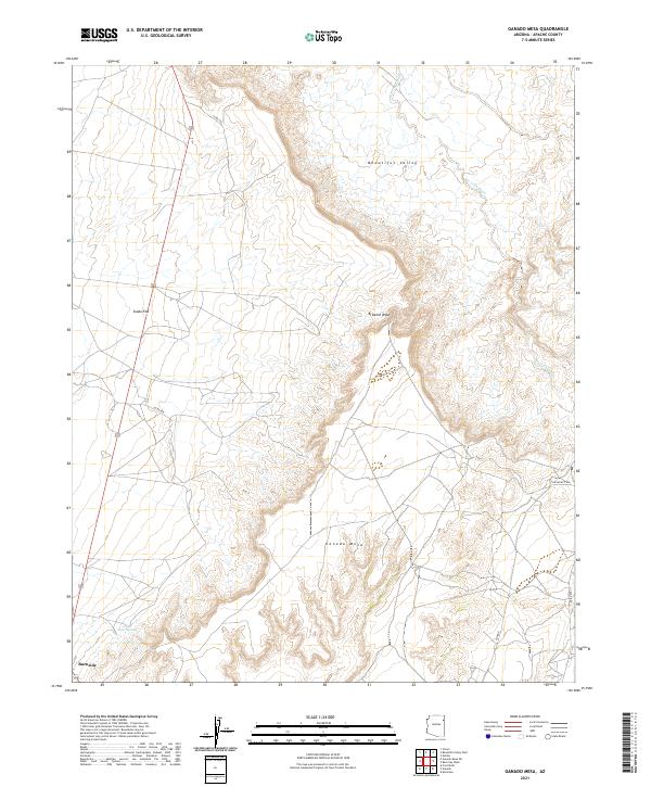 2021 Ganado Mesa2021 Print · USGSApache County high desert comes into focus during this modern survey of the Navajo Nation. Researchers can trace landforms like Ganado Mesa and Beautiful Valley alongside the settlement at Burnside and the waters of Snake Springs.
 - 2021 Map of Sawmill, 2021 Print
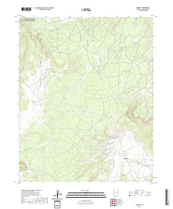 2021 Sawmill2021 Print · USGSThe Navajo Nation's high country comes into focus in the early 2020s, centered on the community of Sawmill and the surrounding Defiance Plateau. Researchers can trace remote water sources like Tokeeje Spring and landmarks such as Fluted Rock or the Quartzite Wash Reservoir.
 - 2021 Map of Coat Spring, 2021 Print
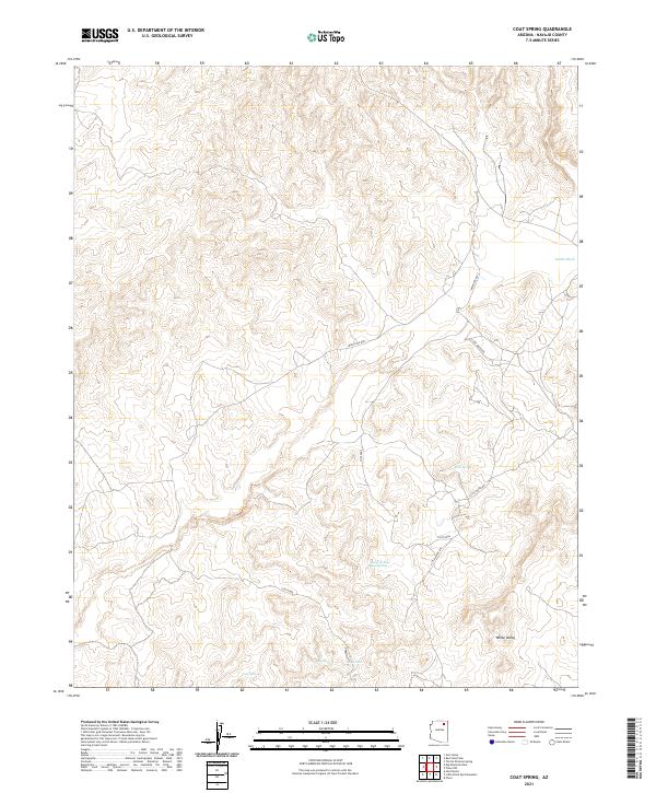 2021 Coat Spring2021 Print · USGSNavajo County landscape in 2021 is defined by its seasonal washes and essential desert water sources. Researchers can trace the routes of Indian Rte 8032 and Little Water Rd as they pass Coat Spring and White Valley.
 - 2021 Map of Cove, 2021 Print
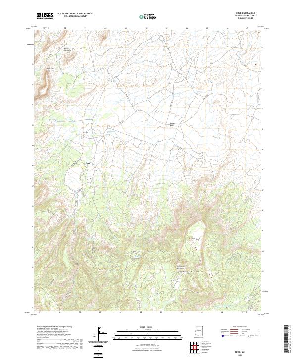 2021 Cove2021 Print · USGSNortheastern Arizona at the foot of the mountains reveals a network of high-desert settlements and traditional routes. Genealogists and researchers can trace local landmarks like Cove, Yazzi, and the vital Cottonwood Spring nestled along Cove Wash.
 - 2021 Map of Fire Dance Mesa, 2021 Print
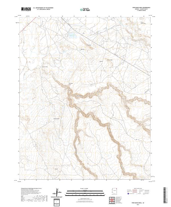 2021 Fire Dance Mesa2021 Print · USGSApache County high desert land is documented in the 2020s, revealing a landscape shaped by canyon drainages and isolated water sources. Researchers can trace the paths of Indian Rte 12 and locate landmarks such as Round Rock Reservoir and Sitting Coyote Mesa.
 - 2021 Map of Mexican Cry Mesa, 2021 Print
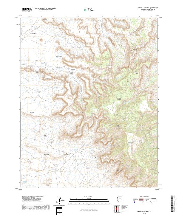 2021 Mexican Cry Mesa2021 Print · USGSHigh-altitude mesas and deep canyons characterize this Apache County landscape as it appeared in recent years. Researchers can trace landforms like Massacre Point and Mexican Cry Mesa or locate remote water sources such as White Hair Spring.
 - 2021 Map of Toh De Niihe, 2021 Print
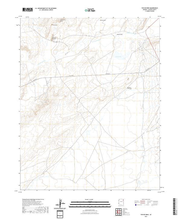 2021 Toh De Niihe2021 Print · USGSNortheastern Arizona's high plateau comes into focus in this contemporary survey of the Navajo Nation. Researchers can trace the rugged geography of White Horse Butte and the intricate drainage of Cottonwood Wash and Toh De Niihe.
 - 2021 Map of Echo Canyon, 2021 Print
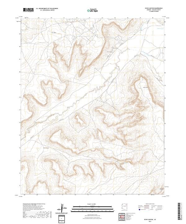 2021 Echo Canyon2021 Print · USGSNavajo County's high-desert mesas and deep canyons are documented here in the early twenty-first century. Researchers can trace tribal road networks like Indian Rte 60 as they pass landforms such as First Mesa and the drainage of Burnt Corn Wash.
 - 2021 Map of Many Farms SW, 2021 Print
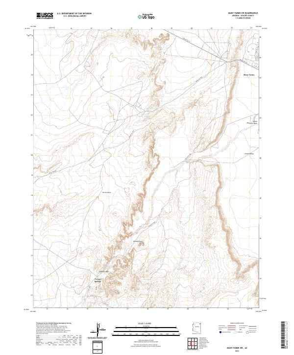 2021 Many Farms SW2021 Print · USGSThe high desert of Apache County is captured here in the early 2020s, showing the intersection of traditional landscapes and modern tribal routes. Researchers can trace the rugged transition from Carson Mesa to Chinle Valley while locating remote springs like Alamo Spring.
 - 2021 Map of Little Round Rock, 2021 Print
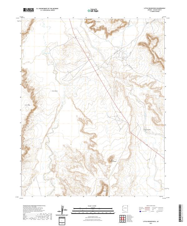 2021 Little Round Rock2021 Print · USGSApache County's high-desert landscape is documented here in the early twenty-first century. Researchers can trace land formations like Little Round Rock and Carson Mesa alongside seasonal watercourses such as Chinle Wash.
 - 2021 Map of Whippoorwill Spring, 2021 Print
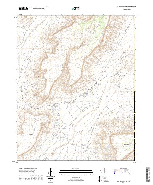 2021 Whippoorwill Spring2021 Print · USGSThe Navajo Nation high desert comes into focus in this recent survey of tribal lands and remote springs. Researchers can trace traditional water sources like Whippoorwill Spring and Donkey Spring along the slopes of Balakai Mesa.
 - 2021 Map of Ventana Mesa, 2021 Print
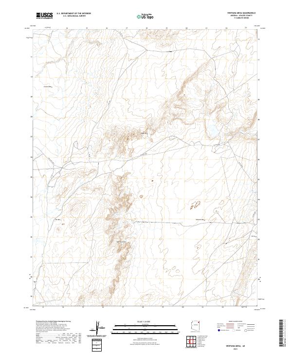 2021 Ventana Mesa2021 Print · USGSThe high desert plateaus of Apache County are captured in this recent survey of the Navajo Nation. Researchers can trace the remote road networks of BIA Rte 8090 and locate named geological landmarks like Hope Arch and Ventana Mesa.
 - 2021 Map of Hard Rocks, 2021 Print
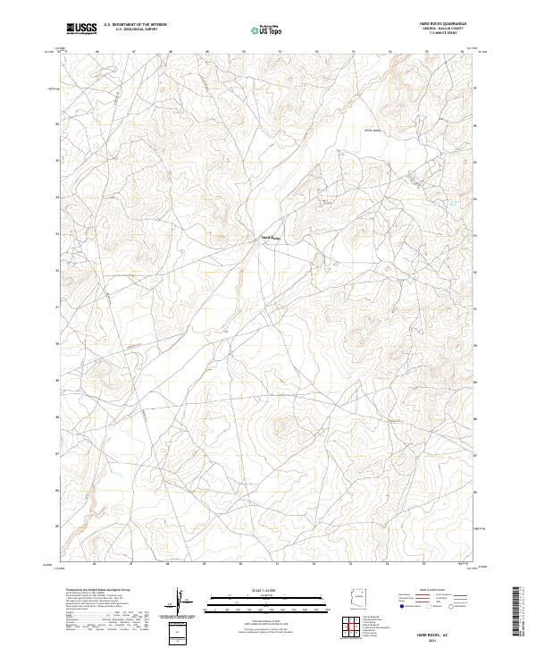 2021 Hard Rocks2021 Print · USGSNavajo County's high desert plateaus are revealed in this recent survey of the Arizona interior. Researchers can trace local travel routes like the Turquoise Trl and Rte 22 between the settlements of Hard Rocks and White Valley.
 - 2021 Map of Tall Tree Mesa, 2021 Print
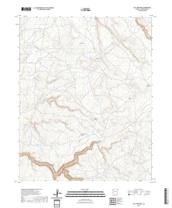 2021 Tall Tree Mesa2021 Print · USGSApache County in the early twenty-first century is defined by its dramatic high-desert topography and remote settlements. Researchers can map the winding paths of Yellowstone Canyon and Sheep Dip Canyon or locate the communities of Owl Nest and Bilasha.
 - 2021 Map of Roof Butte, 2021 Print
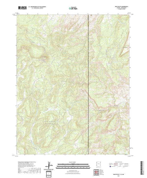 2021 Roof Butte2021 Print · USGSThe high Chuska Mountains and the Arizona-New Mexico state line meet here in the early twenty-first century. Researchers can trace the drainage of Tsaile Cr, the location of Snake Bridge, and the high-elevation peaks of Roof Butte and Beautiful Mtn.
 - 2021 Map of Rough Rock NW, 2021 Print
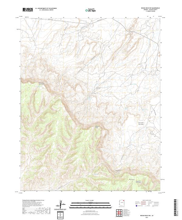 2021 Rough Rock NW2021 Print · USGSApache County's high desert plateaus are documented here in the early twenty-first century. Researchers can trace remote water sources like Yellow Man Spring and follow the intricate drainages of Oraibi Wash and Pain in the Back Canyon.
 - 2021 Map of Blue Gap, 2021 Print
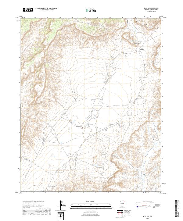 2021 Blue Gap2021 Print · USGSNortheastern Arizona's high desert landscape is recorded here in the early twenty-first century, showing the rural connectivity of the Navajo Nation. Researchers can trace the routes between Blue Gap and Tahchee or follow the paths of Polacca Wash and Tah Chee Wash.
Showing maps 1-25 of 76
Top cities near Chinle Agency
Top neighborhoods of Chinle Agency
- Rocky Ridge historical maps
- Upper Wheatfields historical maps
- Wheatfields historical maps
- Totshoh historical maps
- Many Farms historical maps
- Whippoorwill Springs historical maps
See more
Frequently asked questions
- What are the different types of historical maps available for Chinle Agency?
- What is the oldest map of Chinle Agency?
- Where can I purchase historical maps of Chinle Agency for my home or office?
- Where can I download high-res historical maps of Chinle Agency?
- Are there historical topographic maps available for Chinle Agency?
- Is there historical aerial imagery available for Chinle Agency?
- Where are historical maps of Chinle Agency sourced from?