1980s Maps of Chinle Agency, Arizona
Explore 34 historic maps of Chinle Agency from the 1980s. These maps offer a rare glimpse into what life looked like during the 1980s — showing old roads, neighborhoods, homes, and landmarks that have changed or disappeared over time.
Whether you're researching your family's past, planning a metal detecting trip, or studying how Chinle Agency's landscape evolved across the 1980s, these high-resolution maps are a powerful tool for exploring the history of this region.
- Focus on a specific era: All maps on this page are from the 1980s, giving you a focused view of this time period.
- See what’s changed: Compare century-old streets, trails, and buildings to today's modern landscape using overlays and satellite layers.
- Research with precision: Use these maps for genealogy, historical research, land use analysis, or educational projects.
- View, download, or print: Maps are fully viewable online in high resolution, and can be downloaded or printed for your own records.
Start exploring Chinle Agency's history through authentic maps from the 1980s. This is your window into the past.
Chinle Agency, AZ maps
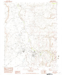
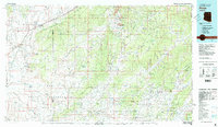
(34)- 1980 Map of Toadlena, 1981 Print
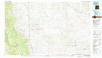 1980 Toadlena1981 Print · USGSSan Juan County and the Navajo Nation are shown in the 1980s as a landscape of high mesas and desert washes. Trace the routes between Toadlena, the Tsaya Trading Post, and the ancient grounds of Chaco Canyon National Monument.3 unique versions available
 - 1982 Map of Mummy Cave Ruins
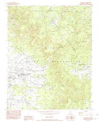
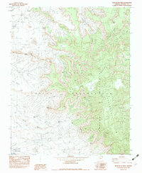
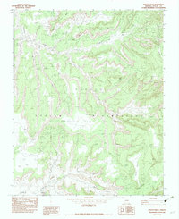
 1982 Mummy Cave Ruins1982 Print · USGSApache County in the early eighties reveals a landscape shaped by ancient history and Navajo ranching. Researchers can trace ancestral sites like Mummy Cave Ruins, locate remote landmarks like Fir Tree Alcove, and find water sources such as Black Rock Spring.
 - 1982 Map of Roof Butte
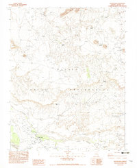
 1982 Roof Butte1982 Print · USGSThe Arizona-New Mexico borderlands in the early eighties reveal a landscape of energy exploration and high-plateau geography. Researchers can trace the development of the Dineh Bi Keyah Oil Field and locate landmarks like the Enos Johnson Mine and Roof Butte.2 unique versions available
 - 1982 Map of Tsaile Butte
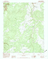
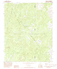 1982 Tsaile Butte1982 Print · USGSThe Navajo Nation high country comes into focus in the early 1980s, showing the borderlands between Arizona and New Mexico. You can trace high-elevation landmarks like Tsaile Butte and the winding course of Wheatfields Creek through the Tunitcha Mountains.2 unique versions available
 - 1982 Map of Red Cornfield Mesa
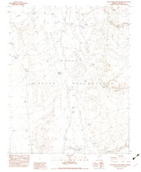
 1982 Red Cornfield Mesa1982 Print · USGSApache County in the early eighties shows a high-desert landscape defined by the deep reaches of Canyon del Muerto. Researchers can trace ancient Ruins and Ruin sites along the base of Red Cornfield Mesa and Many Coyote Mesa.
 - 1982 Map of Lukachukai
 1982 Lukachukai1982 Print · USGSNortheastern Arizona's high-country landscape is captured here in the early eighties as the Chuska and Tunitcha ranges meet. Genealogists and historians can trace the community of Lukachukai featuring the St Isabel Mission and Lukachukai Boarding Sch.
 - 1982 Map of Tall Tree Mesa
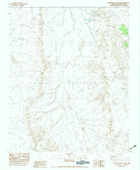
 1982 Tall Tree Mesa1982 Print · USGSThe Navajo Indian Reservation and its high desert mesas are preserved in this early 1980s topographical study. Researchers can trace the rugged geography of Tall Tree Mesa, the flow of Agua Sal Creek, and the depths of Yellowstone Canyon.
 - 1982 Map of Bad Bug Butte
 1982 Bad Bug Butte1982 Print · USGSThe Navajo Nation high country is documented in this early eighties survey, capturing the rugged landscape of the Chuska Mountains. Local historians can trace the paths of Lukachukai Wash and locate specific sites like Bad Bug Butte and the Landing Strip (Dirt).
 - 1982 Map of Fire Dance Mesa
 1982 Fire Dance Mesa1982 Print · USGSThe Navajo Nation in the late 1970s and early 1980s reveals a landscape of high mesas and deep-cut canyons. Trace the geography of the Fire Dance Mesa and Sitting Coyote Mesa alongside remote points like Tseyah and Broken Iron Spring.
 - 1982 Map of Tsaile
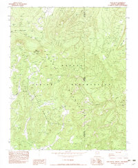
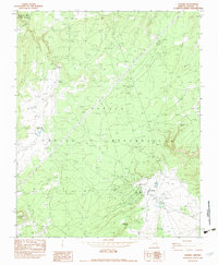
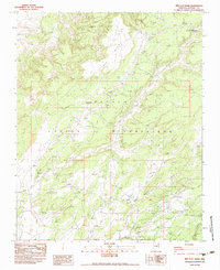
 1982 Tsaile1982 Print · USGSThe Navajo Nation uplands come into focus in the early eighties, centered on the community of Tsaile. Researchers can locate Navajo Community College, the Upper Greasewood Trading Post, and the depths of Canyon del Muerto.
 - 1982 Map of Cove, 1983 Print
 1982 Cove1983 Print · USGSTraditional Navajo lands in Apache County are captured here in the early eighties as the community of Cove centers its life between the peaks and the valley. Researchers can trace local landmarks like the Cove Day Sch and find remote water sources such as Cottonwood Spring and Pine Spring Water.
 - 1982 Map of Sawmill, 1983 Print
 1982 Sawmill1983 Print · USGSThe Navajo Nation high country comes into focus in the early eighties, centered on the community of Sawmill. Researchers can trace local infrastructure from the Cem and Rodeo Ground Corral to landmarks like Fluted Rock Lake.
 - 1982 Map of Polacca, 1983 Print
 1982 Polacca1983 Print · USGSTraditional villages on the high mesas of the Colorado Plateau are documented here during the early eighties. Genealogists and historians can locate ancient settlements like Old Oraibi and Walpi, or trace water sources such as Bluebird Spring and Sunlight Mission.2 unique versions available
 - 1982 Map of Mexican Cry Mesa, 1983 Print
 1982 Mexican Cry Mesa1983 Print · USGSThe high mesas of the Navajo Nation come into focus during the early 1980s, documenting a landscape of remote mining and traditional water sites. Researchers can locate the Mexican Cry Mine, trace the canyon floor near Peter Deswood Well, and identify landmarks like Massacre Point.
 - 1982 Map of Chinle, 1983 Print
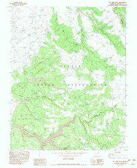
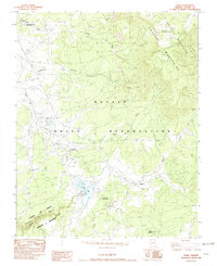
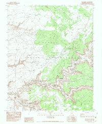
 1982 Chinle1983 Print · USGSChinle stands as a central community within the Navajo Nation during the early eighties, situated at the doorstep of ancient canyon lands. Local historians can trace the town's growth through landmarks like the Chinle Community Cemetery, the Chinle Visitor Center, and the Rodeo Ground.
 - 1982 Map of Del Muerto, 1983 Print
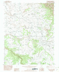
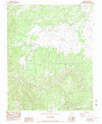
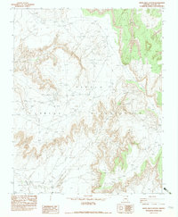
 1982 Del Muerto1983 Print · USGSThe Navajo Nation's canyon country comes into sharp focus in the early 1980s, revealing a landscape where ancient history and modern life coexist. Researchers can trace traditional routes like Many Skulls Trail and locate significant archaeological sites such as Mummy Cave Ruins and Little Navajo Fortress.
 - 1982 Map of White Area Canyon, 1983 Print
 1982 White Area Canyon1983 Print · USGSThe Navajo Indian Reservation in the early eighties is captured here in this detailed provisional survey of Apache County. Researchers can trace the path of White Area Canyon and locate isolated landmarks like a Windmill and the remote White Area Spring.
 - 1982 Map of Kinusta Mesa, 1983 Print
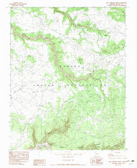
 1982 Kinusta Mesa1983 Print · USGSThe Navajo Indian Reservation comes into focus during the late seventies, showing the high-mesa country before modern development. Researchers can trace the paths of Splashing Water Creek or locate landmarks like the Mildred Mine and Massacre Point.
 - 1982 Map of Round Rock, 1983 Print
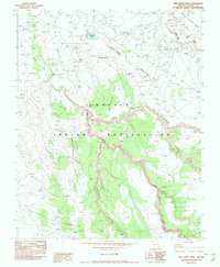
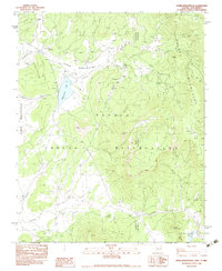
 1982 Round Rock1983 Print · USGSRound Rock and the high mesas of the Navajo Nation are documented here during the early eighties, showcasing a landscape of isolated springs and traditional landmarks. Researchers can trace local points of interest like the Chapter House, Los Gigantes Buttes, and White Water Reservoir.
 - 1982 Map of Little White House Ruins, 1983 Print
 1982 Little White House Ruins1983 Print · USGSThe Navajo Indian Reservation in the early eighties reveals a vast landscape of managed washes and ancient sites. Researchers can trace the drainage of Nazlini Wash past the Little White House Ruins and the remote Three Turkey Canyon Wash.
 - 1983 Map of Beautiful Valley Well
 1983 Beautiful Valley Well1983 Print · USGSApache County's high desert landscape within the Navajo Indian Reservation is recorded here as it appeared in the late seventies. Researchers can trace the vital water-management network of the era, from the Flat Rock Reservoir to the Beautiful Valley Well.
 - 1983 Map of Pinon
 1983 Pinon1983 Print · USGSThe Navajo and Hopi heartlands are shown in detail during the early eighties, capturing the intricate topography of the high mesas. Researchers can locate remote settlements like Pinon and Red Lake, while tracing ancient landmarks such as White Mesa and numerous Ruin sites.2 unique versions available
 - 1983 Map of Red Clay Wash
 1983 Red Clay Wash1983 Print · USGSThe Navajo Nation high-desert country near the turn of the 1980s reveals a landscape of vital water sources and remote trading hubs. Researchers can trace the layout of the Wood Spring Trading Post and remote landmarks like the Tse it gal Shii Well and White Around The Mtn Spring.
 - 1983 Map of White Clay
 1983 White Clay1983 Print · USGSNortheastern Arizona's high-desert canyons and Navajo lands are captured here in the early 1980s. Researchers can locate remote water sources like Yellowhair Spring and Whiskey Reservoir, or trace landmarks like the White Clay Windmill and ancient Ruins.
 - 1983 Map of Upper Wheatfields
 1983 Upper Wheatfields1983 Print · USGSThe Navajo high country in the early eighties shows a landscape of mountain springs and seasonal creeks at the Arizona-New Mexico line. Researchers can locate remote family-named landmarks like Teddy Chee Spring, the waters of Wheatfields Lake, and the high ridges of White Cone.
Showing maps 1-25 of 34
Top cities near Chinle Agency
Top neighborhoods of Chinle Agency
- Rocky Ridge historical maps
- Upper Wheatfields historical maps
- Wheatfields historical maps
- Totshoh historical maps
- Many Farms historical maps
- Whippoorwill Springs historical maps
See more
Frequently asked questions
- What are the different types of historical maps available for Chinle Agency?
- What is the oldest map of Chinle Agency?
- Where can I purchase historical maps of Chinle Agency for my home or office?
- Where can I download high-res historical maps of Chinle Agency?
- Are there historical topographic maps available for Chinle Agency?
- Is there historical aerial imagery available for Chinle Agency?
- Where are historical maps of Chinle Agency sourced from?