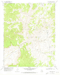
1971 Map of Great Spring
USGS Topo · Published 1973About this map
Navajo-Hopi Joint Use Area boundaries define this high-desert landscape in northern Arizona during the early 1970s. The terrain is a complex network of ephemeral drainage systems, most notably Moenkopi Wash, which winds across the southwestern portion of the sheet. Evidence of regional resource extraction is prominent, with a Strip Mine and a Coal Mine located in the northern reaches, alongside several gravel and borrow pits that supported local infrastructure.
Find a feature on this map
24 named features on this map. Tap any name to fly to it.
Don’t see what you’re looking for? This feature index may not catch every label — zoom into the map to look around manually.
Map Details
Editions of this 1971 Great Spring Map
3 editions found
Other maps of this area

1883 · Marsh Pass
USGS Topo · 1:250,000

1892 · Marsh Pass
USGS Topo · 1:250,000

1956 · Marble Canyon
USGS Topo · 1:250,000

1959 · Marble Canyon
USGS Topo · 1:250,000

1961 · Marble Canyon
USGS Topo · 1:250,000
1968 · Owl Valley
USGS Topo · 1:24,000

1968 · Yucca Hill
USGS Topo · 1:24,000
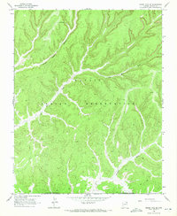
1968 · Marsh Pass SE
USGS Topo · 1:24,000
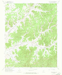
1968 · Red Slide Peak
USGS Topo · 1:24,000

1970 · Shonto SE
USGS Topo · 1:24,000