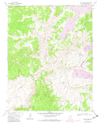
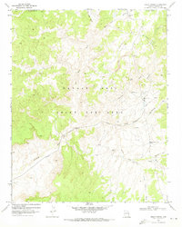
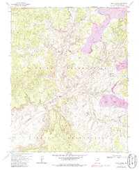
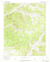
1971 Map of Great Spring
USGS Topo · Published 1983About this map
The Navajo Indian Reservation and Hopi Indian Reservation meet across this high desert landscape, intersected by the Old Indian Reservation Boundary. The terrain is defined by complex drainage systems including Moenkopi Wash, Coal Mine Wash, and Yellow Water Canyon. Critical water infrastructure is documented through various sources such as Great Spring, Grapevine Well, and Black Rock Cairn Well.
Find a feature on this map
22 named features on this map. Tap any name to fly to it.
Don’t see what you’re looking for? This feature index may not catch every label — zoom into the map to look around manually.
Map Details
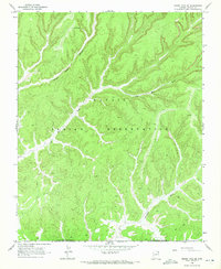
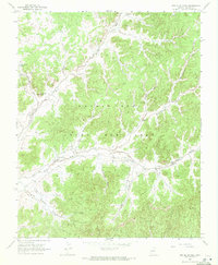
Editions of this 1971 Great Spring Map
3 editions found
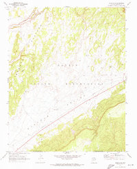
Other maps of this area

1883 · Marsh Pass
USGS Topo · 1:250,000

1892 · Marsh Pass
USGS Topo · 1:250,000

1956 · Marble Canyon
USGS Topo · 1:250,000

1959 · Marble Canyon
USGS Topo · 1:250,000

1961 · Marble Canyon
USGS Topo · 1:250,000
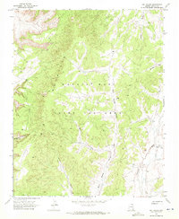
1968 · Owl Valley
USGS Topo · 1:24,000
1968 · Yucca Hill
USGS Topo · 1:24,000
1968 · Marsh Pass SE
USGS Topo · 1:24,000
1968 · Red Slide Peak
USGS Topo · 1:24,000
1970 · Shonto SE
USGS Topo · 1:24,000