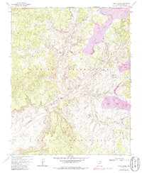
1971 Map of Great Spring
USGS Topo · Published 1986About this map
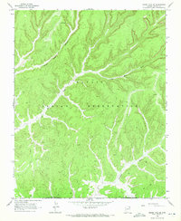
Large-scale extraction operations define the high desert landscape of the Navajo Indian Reservation and Hopi Indian Reservation during the early 1970s. Multiple areas marked as Strip Mine dominate the northeastern and central terrain, supported by industrial infrastructure including an Aqueduct, a Pipeline, and a Pumping Station. Water management is central to the area's utility, with numerous remote outposts like Grapevine Well, Black Rock Cairn Well, and Sagebrush Well scattered across the high plateaus.
Find a feature on this map
22 named features on this map. Tap any name to fly to it.
Don’t see what you’re looking for? This feature index may not catch every label — zoom into the map to look around manually.
Map Details
Editions of this 1971 Great Spring Map
3 editions found
Other maps of this area

1883 · Marsh Pass
USGS Topo · 1:250,000

1892 · Marsh Pass
USGS Topo · 1:250,000

1956 · Marble Canyon
USGS Topo · 1:250,000

1959 · Marble Canyon
USGS Topo · 1:250,000

1961 · Marble Canyon
USGS Topo · 1:250,000
1968 · Owl Valley
USGS Topo · 1:24,000

1968 · Yucca Hill
USGS Topo · 1:24,000
1968 · Marsh Pass SE
USGS Topo · 1:24,000
1968 · Red Slide Peak
USGS Topo · 1:24,000

1970 · Shonto SE
USGS Topo · 1:24,000