2000s (21st Century) Maps of Parker, Arizona
Explore 20 historic maps of Parker from the 2000s (21st Century). These maps offer a rare glimpse into what life looked like during the 2000s — showing old roads, neighborhoods, homes, and landmarks that have changed or disappeared over time.
Whether you're researching your family's past, planning a metal detecting trip, or studying how Parker's landscape evolved across the 2000s, these high-resolution maps are a powerful tool for exploring the history of this region.
- Focus on a specific era: All maps on this page are from the 2000s, giving you a focused view of this time period.
- See what’s changed: Compare century-old streets, trails, and buildings to today's modern landscape using overlays and satellite layers.
- Research with precision: Use these maps for genealogy, historical research, land use analysis, or educational projects.
- View, download, or print: Maps are fully viewable online in high resolution, and can be downloaded or printed for your own records.
Start exploring Parker's history through authentic maps from the 2000s. This is your window into the past.
Parker, AZ maps
(20)- 2011 Map of Black Peak, 2011 Print
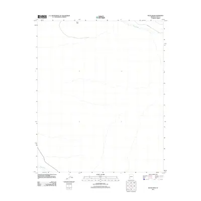 2011 Black Peak2011 Print · USGSThis Arizona desert landscape at the start of the 2010s reveals a region defined by its prominent landmarks and shifting washes. Researchers can trace the natural drainage of Osborne Wash and Bouse Wash near the high point of Black Peak.
 - 2011 Map of Moon Mountain NE, 2011 Print
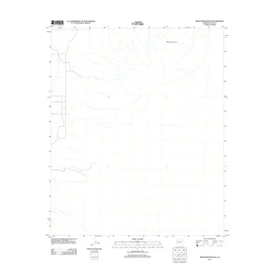 2011 Moon Mountain NE2011 Print · USGSLa Paz County's arid high desert is captured here just over a decade ago, showcasing the network of dry washes that carve the landscape. Researchers can trace the primitive paths of Mccabe Rd and Hopi Rd as they approach the slopes of Mesquite Mountain.
 - 2011 Map of Bouse NW, 2011 Print
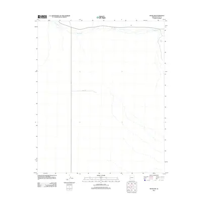 2011 Bouse NW2011 Print · USGSNear the western edge of Arizona in the early 2010s, this desert landscape shows a sparsely settled area defined by seasonal water drainage. Researchers can trace the path of Bouse Wash and locate specific landmarks like Thumb Butte Tank and Landfill Rd.
 - 2011 Map of Parker, 2011 Print
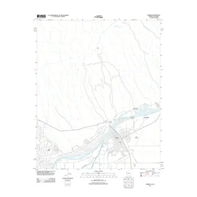 2011 Parker2011 Print · USGSThe riverfront communities of Arizona and California are captured here in the early twenty-first century as they line the Colorado River. Genealogists and local historians can trace the streets of Parker and Earp or locate landmarks like Headgate Rock and Moovalya Lake.
 - 2011 Map of Parker SE, 2011 Print
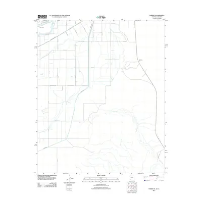 2011 Parker SE2011 Print · USGSSoutheast of Parker in the early 2010s, this area shows the complex irrigation grid of the Colorado River Indian Reservation. Researchers can trace the path of the Main Canal, find family-named routes like Agnes Wilson Rd, and locate Deer Island.
 - 2014 Map of Black Peak, 2014 Print
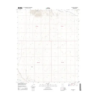 2014 Black Peak2014 Print · USGSThe northern reaches of Parker and the surrounding desert landscape are captured here in the early 2010s. Researchers can trace the town's expansion along Central Ave and locate the natural drainage of Osborne Wash near the slopes of Black Peak.
 - 2014 Map of Parker SE, 2014 Print
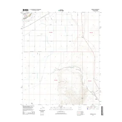 2014 Parker SE2014 Print · USGSArizona's western border along the Parker Valley shows a highly developed irrigation landscape just south of the Bill Williams River confluence. Researchers can trace the sophisticated water systems of the Main Canal and Bouse Wash or locate local landmarks like Deer Island and Fivemile Hill.
 - 2014 Map of Parker, 2014 Print
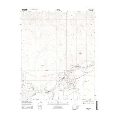 2014 Parker2014 Print · USGSThe Colorado River corridor near the Arizona-California border is detailed here during the mid-2010s. Researchers can trace the sophisticated irrigation and transport networks that sustain the region, including the Main Canal, Avi Suquilla Airport, and the Whipple Mountain Tunnel.
 - 2014 Map of Moon Mountain NE, 2014 Print
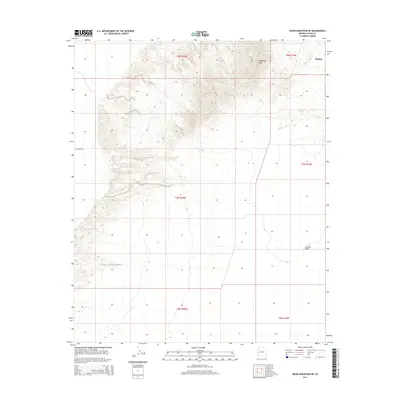 2014 Moon Mountain NE2014 Print · USGSThe outskirts of Parker and the high peaks of Mesquite Mtn dominate this desert landscape during the mid-2010s. Researchers can trace the survey boundaries of the La Posa Plain and the isolated path of E Mccabe Rd.
 - 2014 Map of Bouse NW, 2014 Print
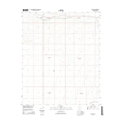 2014 Bouse NW2014 Print · USGSThe desert outskirts of Parker are captured here in the mid-2010s as they sprawl into the La Posa Plain. Researchers can trace the intersection of AZ-72 and AZ-95 or locate isolated landmarks like Thumb Butte Tank and Bouse Wash.
 - 2018 Map of Black Peak, 2018 Print
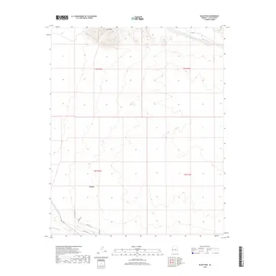 2018 Black Peak2018 Print · USGSThe desert town of Parker meets the high relief of the Arizona landscape in this late 2010s survey. Researchers can trace local development through the layout of Industrial Ln and Parker Blvd near the natural landmark of Black Peak.
 - 2018 Map of Parker SE, 2018 Print
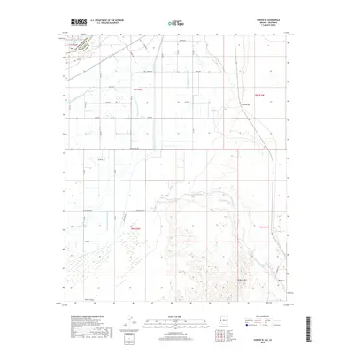 2018 Parker SE2018 Print · USGSThe Colorado River borderlands come into focus in the late 2010s, showing the intricate irrigation of Parker Valley. Genealogists and historians can trace the grid of rural life along Indian School Rd and Agnes Wilson Rd or locate the site of the Parker settlement.
 - 2018 Map of Moon Mountain NE, 2018 Print
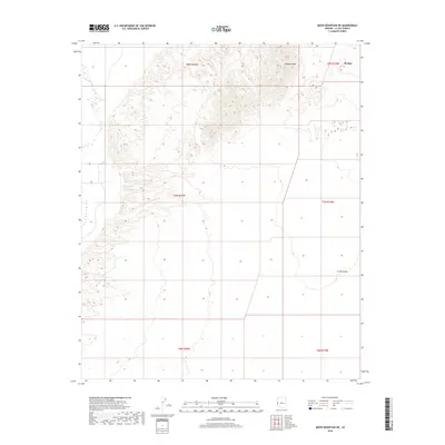 2018 Moon Mountain NE2018 Print · USGSThe Colorado River valley landscape near the Arizona-California border is shown here in the late twenty-tens as the area continued to develop. Historians and researchers can trace the outskirts of Parker or study the topography of Mesquite Mtn and the La Posa Plain.
 - 2018 Map of Bouse NW, 2018 Print
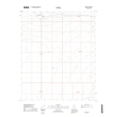 2018 Bouse NW2018 Print · USGSThe desert outskirts of Parker are captured in the late 2010s as the town transitions into the open Arizona wilderness. Genealogists and researchers can trace the intersection of Central Ave with the arid course of Bouse Wash and the vast La Posa Plain.
 - 2018 Map of Parker, 2018 Print
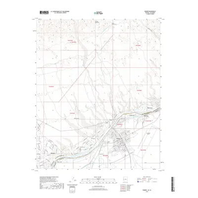 2018 Parker2018 Print · USGSThe Colorado River borderlands come into sharp focus in this late twenty-tens survey of the Arizona-California line. Trace the path of the Colorado River Aqueduct and locate landmarks like Headgate Rock, Avi Suquilla Airport, and the Whipple Mountains.
 - 2021 Map of Parker, 2021 Print
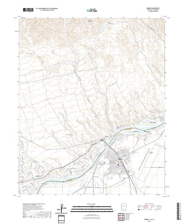 2021 Parker2021 Print · USGSThe Colorado River borderlands in the early 2020s reveal a landscape defined by desert water management and the growth of the Parker community. Trace the intricate desert canals near Big River or locate the La Paz County Courthouse and Avi Suquilla Airport.
 - 2021 Map of Black Peak, 2021 Print
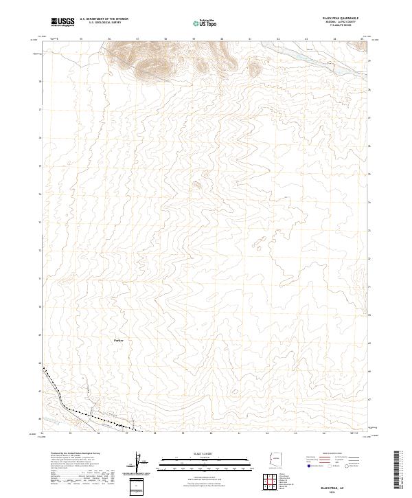 2021 Black Peak2021 Print · USGSThe desert town of Parker and its surrounding washes are documented here during a period of recent growth. Researchers can trace the expanding street grid near Parker Blvd and follow the natural paths of Osborne Wash and Bause Wash.
 - 2021 Map of Moon Mountain NE, 2021 Print
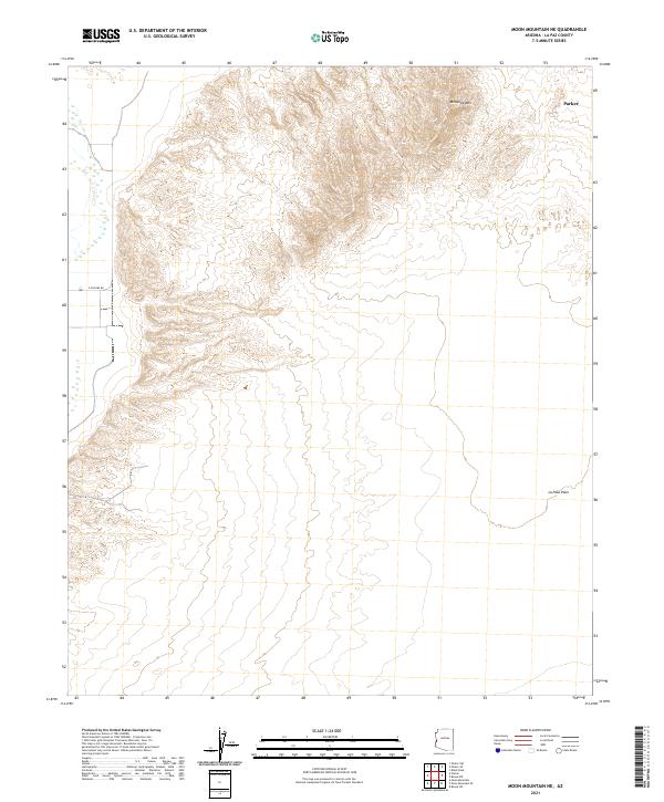 2021 Moon Mountain NE2021 Print · USGSThe Arizona desert of La Paz County is captured in this recent survey, showcasing the transition from high peaks to broad plains. Researchers can trace the rugged topography of Mesquite Mtn and the stretches of the La Posa Plain near the outskirts of Parker.
 - 2021 Map of Parker SE, 2021 Print
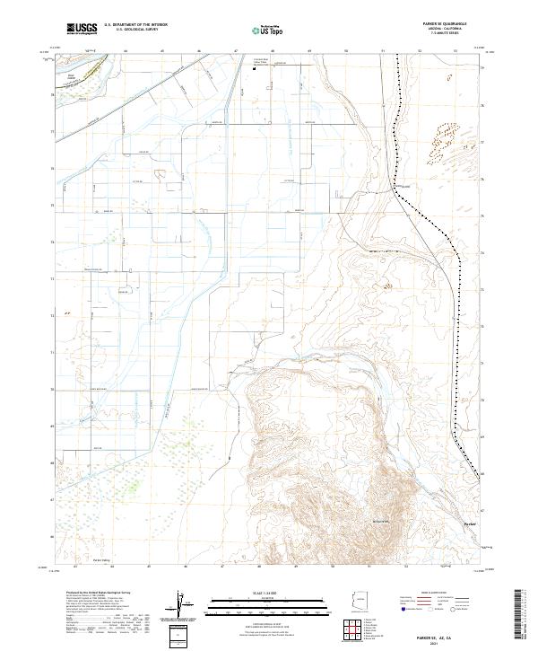 2021 Parker SE2021 Print · USGSThe Colorado River Indian Tribes reservation comes to life in this recent study of the Parker Valley and the Colorado River border. Researchers can trace the sophisticated irrigation network of the Main Canal or locate local landmarks like the Big House Cem.
 - 2021 Map of Bouse NW, 2021 Print
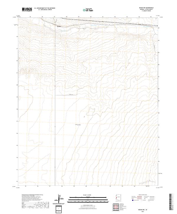 2021 Bouse NW2021 Print · USGSIn the western Arizona desert during the early 2020s, this survey documents the open expanse of the La Posa Plain. Trace the edge of Parker and follow the dry path of Bouse Wash as it winds through this corner of La Paz County.
End of results
Showing maps 1-20 of 20
Top cities near Parker
- Parker historical maps
- Cienega Springs historical maps
- Big River historical maps
- Bouse historical maps
- Bluewater historical maps
- Parker Strip historical maps
See more
Top neighborhoods of Parker
Frequently asked questions
- What are the different types of historical maps available for Parker?
- What is the oldest map of Parker?
- Where can I purchase historical maps of Parker for my home or office?
- Where can I download high-res historical maps of Parker?
- Are there historical topographic maps available for Parker?
- Is there historical aerial imagery available for Parker?
- Where are historical maps of Parker sourced from?