2000s (21st Century) Maps of Buckeye, Arizona
Explore 80 historic maps of Buckeye from the 2000s (21st Century). These maps offer a rare glimpse into what life looked like during the 2000s — showing old roads, neighborhoods, homes, and landmarks that have changed or disappeared over time.
Whether you're researching your family's past, planning a metal detecting trip, or studying how Buckeye's landscape evolved across the 2000s, these high-resolution maps are a powerful tool for exploring the history of this region.
- Focus on a specific era: All maps on this page are from the 2000s, giving you a focused view of this time period.
- See what’s changed: Compare century-old streets, trails, and buildings to today's modern landscape using overlays and satellite layers.
- Research with precision: Use these maps for genealogy, historical research, land use analysis, or educational projects.
- View, download, or print: Maps are fully viewable online in high resolution, and can be downloaded or printed for your own records.
Start exploring Buckeye's history through authentic maps from the 2000s. This is your window into the past.
Buckeye, AZ maps
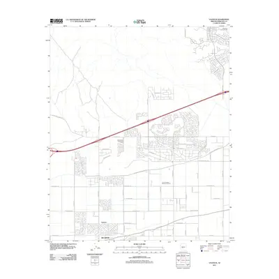
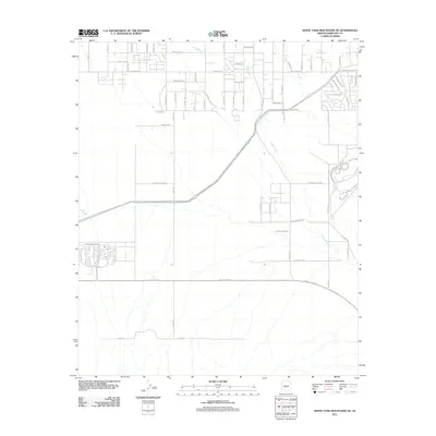
(80)- 2011 Map of Avondale SW, 2011 Print
 2011 Avondale SW2011 Print · USGSCovers Buckeye, including Goodyear, Estrella, and other nearby areas
 - 2011 Map of Mobile NW, 2011 Print
 2011 Mobile NW2011 Print · USGSCovers Buckeye, including Goodyear, Rainbow Valley, and other nearby areas
 - 2011 Map of Margies Peak, 2011 Print
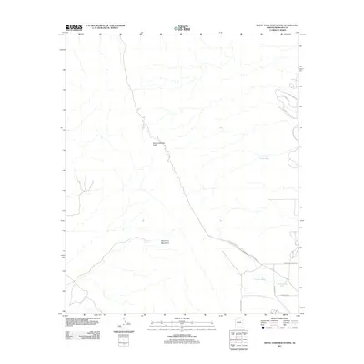
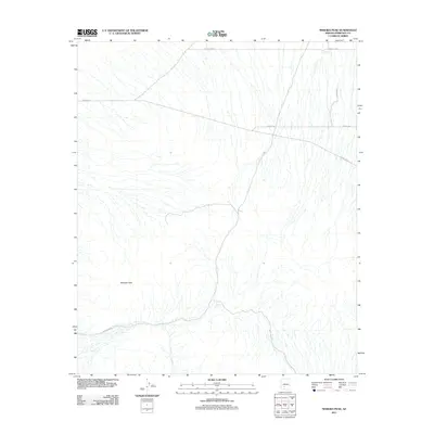 2011 Margies Peak2011 Print · USGSCovers Buckeye, including Maricopa County, United States, and other nearby areas
 - 2011 Map of Valencia, 2011 Print
 2011 Valencia2011 Print · USGSCovers Buckeye, including Verrado, Maricopa County, and other nearby areas
 - 2011 Map of White Tank Mountains, 2011 Print
 2011 White Tank Mountains2011 Print · USGSCovers Buckeye, including Verrado, Maricopa County, and other nearby areas
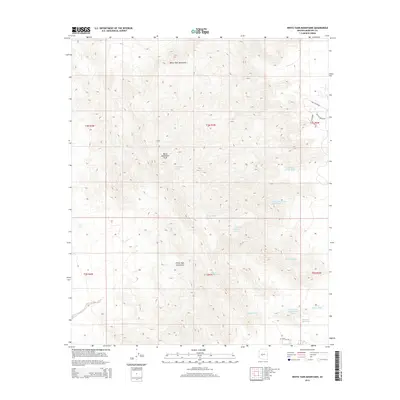
 - 2011 Map of Waddell, 2011 Print
 2011 Waddell2011 Print · USGSCovers Buckeye, including Glendale, Surprise, and other nearby areas
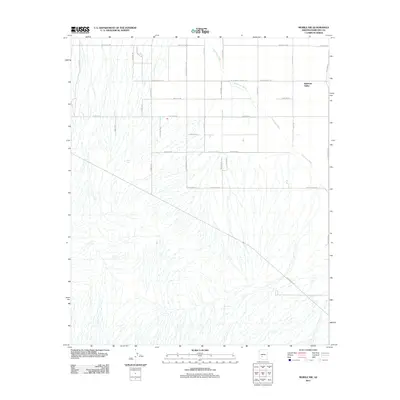
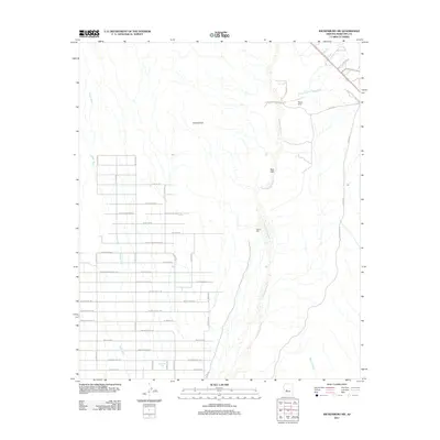
 - 2011 Map of Star Well, 2011 Print
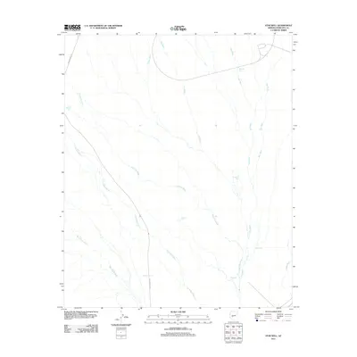 2011 Star Well2011 Print · USGSCovers Buckeye, including Maricopa County, United States, and other nearby areas
 - 2011 Map of Buckeye NW, 2011 Print
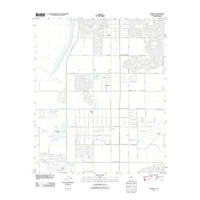
 2011 Buckeye NW2011 Print · USGSCovers Buckeye, including Maricopa County, United States, and other nearby areas
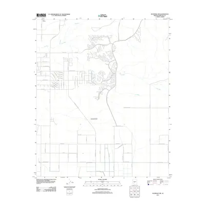
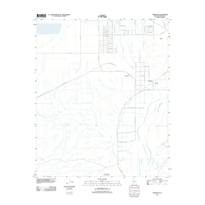
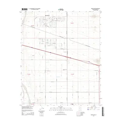
 - 2011 Map of Buckeye, 2011 Print
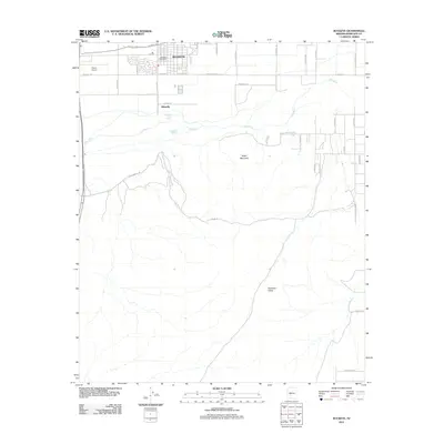 2011 Buckeye2011 Print · USGSCovers Buckeye, including Maricopa County, United States, and other nearby areas
 - 2011 Map of Daggs Tank, 2011 Print
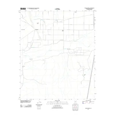
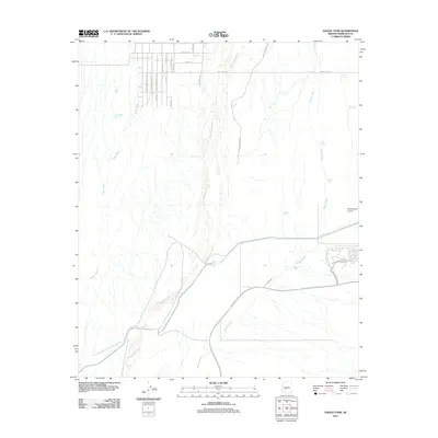 2011 Daggs Tank2011 Print · USGSCovers Buckeye, including Maricopa County, United States, and other nearby areas
 - 2011 Map of Cotton Center NW, 2011 Print
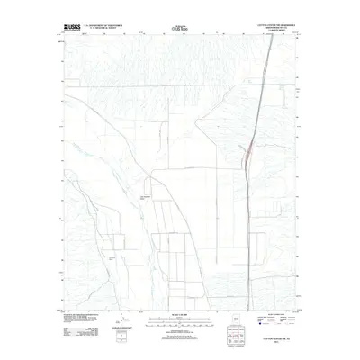 2011 Cotton Center NW2011 Print · USGSCovers Buckeye, including Maricopa County, United States, and other nearby areas
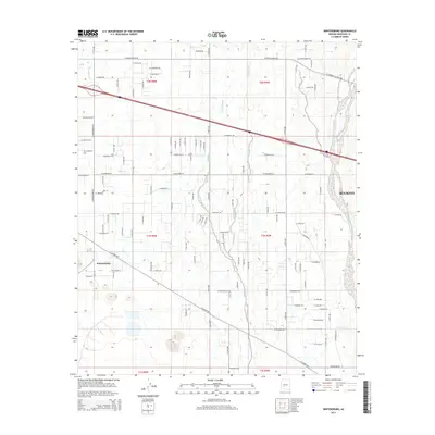
 - 2011 Map of Wintersburg, 2011 Print
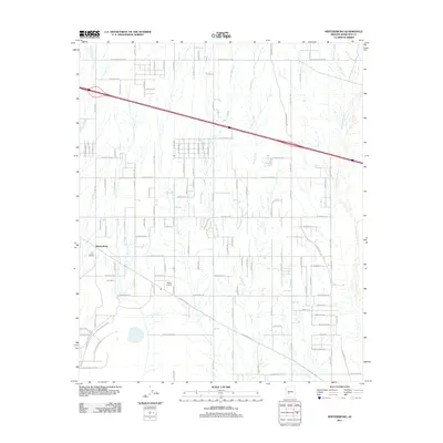 2011 Wintersburg2011 Print · USGSCovers Buckeye, including Wintersburg, Maricopa County, and other nearby areas
 - 2011 Map of Arlington, 2011 Print
 2011 Arlington2011 Print · USGSCovers Buckeye, including Arlington, Maricopa County, and other nearby areas
 - 2011 Map of Flatiron Mountain, 2011 Print
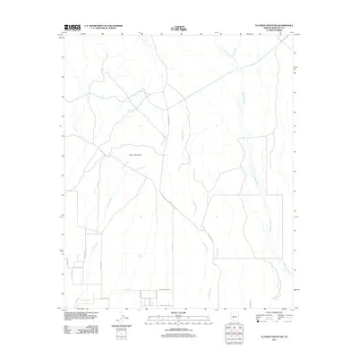 2011 Flatiron Mountain2011 Print · USGSCovers Buckeye, including Maricopa County, United States, and other nearby areas
 - 2011 Map of Hassayampa, 2011 Print
 2011 Hassayampa2011 Print · USGSCovers Buckeye, including Hassayampa, Palo Verde, and other nearby areas
 - 2011 Map of Spring Mountain, 2011 Print
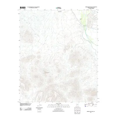 2011 Spring Mountain2011 Print · USGSCovers Buckeye, including Maricopa County, United States, and other nearby areas
 - 2011 Map of White Tank Mountains NE, 2011 Print
 2011 White Tank Mountains NE2011 Print · USGSCovers Buckeye, including Surprise, Maricopa County, and other nearby areas
 - 2011 Map of Wickenburg SW, 2011 Print
 2011 Wickenburg SW2011 Print · USGSCovers Buckeye, including Maricopa County, United States, and other nearby areas
 - 2011 Map of Wagner Wash Well, 2011 Print
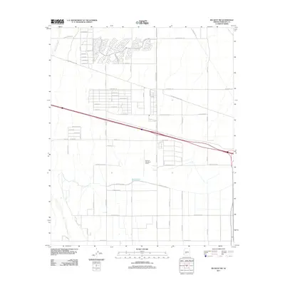
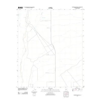 2011 Wagner Wash Well2011 Print · USGSCovers Buckeye, including Maricopa County, United States, and other nearby areas
 - 2011 Map of Perryville, 2011 Print
 2011 Perryville2011 Print · USGSCovers Buckeye, including Goodyear, Estrella, and other nearby areas
 - 2014 Map of Wintersburg, 2014 Print
 2014 Wintersburg2014 Print · USGSCovers Buckeye, including Wintersburg, Maricopa County, and other nearby areas
 - 2014 Map of Buckeye NW, 2014 Print
 2014 Buckeye NW2014 Print · USGSCovers Buckeye, including Maricopa County, United States, and other nearby areas
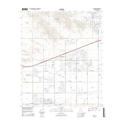
 - 2014 Map of White Tank Mountains, 2014 Print
 2014 White Tank Mountains2014 Print · USGSCovers Buckeye, including Verrado, Maricopa County, and other nearby areas
 - 2014 Map of Valencia, 2014 Print
 2014 Valencia2014 Print · USGSCovers Buckeye, including Verrado, Maricopa County, and other nearby areas
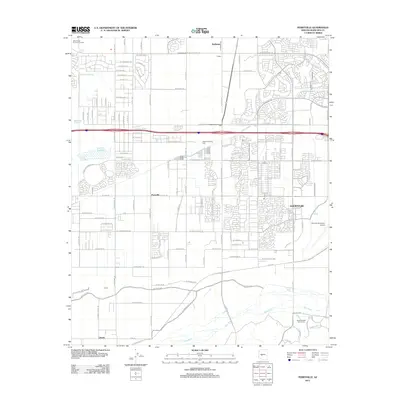
 - 2014 Map of Perryville, 2014 Print
 2014 Perryville2014 Print · USGSCovers Buckeye, including Goodyear, Estrella, and other nearby areas
Showing maps 1-25 of 80
Top cities near Buckeye
- Glendale historical maps
- Peoria historical maps
- Surprise historical maps
- Goodyear historical maps
- Estrella historical maps
- Citrus Park historical maps
Top neighborhoods of Buckeye
- Verrado historical maps
- Conger historical maps
- Tartesso historical maps
- Blue Horizons historical maps
- Floreo At Teravalis historical maps
- Copper Falls historical maps
See more
Frequently asked questions
- What are the different types of historical maps available for Buckeye?
- What is the oldest map of Buckeye?
- Where can I purchase historical maps of Buckeye for my home or office?
- Where can I download high-res historical maps of Buckeye?
- Are there historical topographic maps available for Buckeye?
- Is there historical aerial imagery available for Buckeye?
- Where are historical maps of Buckeye sourced from?