2010s Maps of Tucson, Arizona
Explore 36 historic maps of Tucson from the 2010s. These maps offer a rare glimpse into what life looked like during the 2010s — showing old roads, neighborhoods, homes, and landmarks that have changed or disappeared over time.
Whether you're researching your family's past, planning a metal detecting trip, or studying how Tucson's landscape evolved across the 2010s, these high-resolution maps are a powerful tool for exploring the history of this region.
- Focus on a specific era: All maps on this page are from the 2010s, giving you a focused view of this time period.
- See what’s changed: Compare century-old streets, trails, and buildings to today's modern landscape using overlays and satellite layers.
- Research with precision: Use these maps for genealogy, historical research, land use analysis, or educational projects.
- View, download, or print: Maps are fully viewable online in high resolution, and can be downloaded or printed for your own records.
Start exploring Tucson's history through authentic maps from the 2010s. This is your window into the past.
Tucson, AZ maps
(36)- 2011 Map of Cat Mountain, 2011 Print
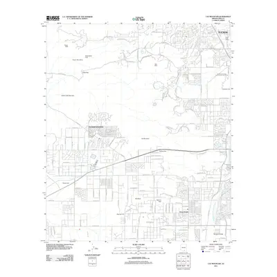 2011 Cat Mountain2011 Print · USGSTucson and its southwestern suburbs meet the rugged desert peaks during a period of significant regional growth. Researchers can trace the development of Drexel Heights and the Santa Cruz Valley alongside landmarks like Tumamoc Hill and Gates Pass.
- 2011 Map of Jaynes, 2011 Print
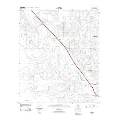 2011 Jaynes2011 Print · USGSThe northwest edge of the Tucson metro area is captured here during a period of rapid suburban and commercial expansion. Genealogists and local historians can trace the evolution of old desert holdings like Sahuaro Ranch and the community of Flowing Wells.
- 2011 Map of Tucson, 2011 Print
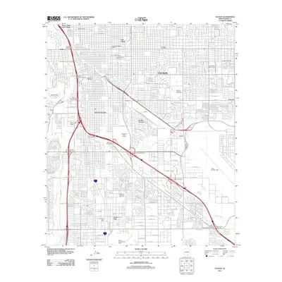 2011 Tucson2011 Print · USGSTucson and its surrounding neighborhoods are captured in a period of significant urban density during the early twenty-first century. Researchers can trace institutional and military growth from the University of Arizona to the expansive Davis Monthan AFB.
- 2011 Map of Tucson SW, 2011 Print
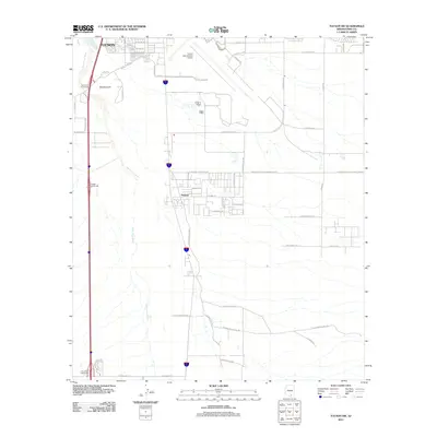 2011 Tucson SW2011 Print · USGSThe southern fringes of Tucson and the community of Summit are captured here during a period of modern expansion in the Sonoran Desert. Researchers can trace the path of the Santa Cruz River and explore local landmarks like Martinez Hill and Tucson International Airport.
- 2011 Map of Tucson SE, 2011 Print
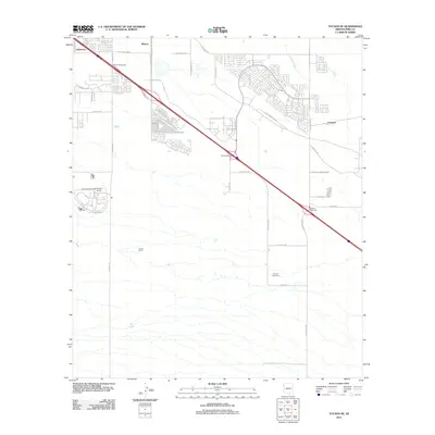 2011 Tucson SE2011 Print · USGSSoutheast Tucson in the early twenty-first century reveals a landscape where desert terrain meets major correctional facilities and motorsport heritage. Map enthusiasts can trace the Benson Hwy through Littletown and find the location of the Corona Speedway.
- 2011 Map of Vail, 2011 Print
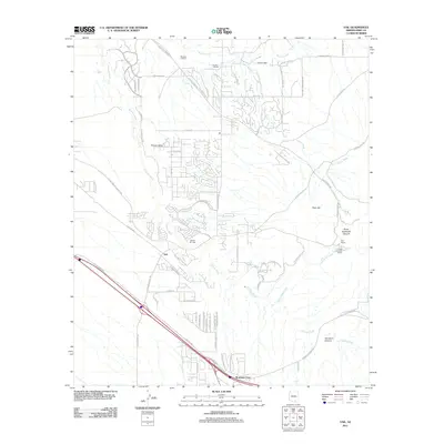 2011 Vail2011 Print · USGSSoutheast of Tucson in the early 2010s, this area reflects the intersection of contemporary suburban development and traditional Arizona ranching life. Genealogists and researchers can trace local landmarks like La Posta Quemada Ranch, the community of Vail, and Mountain View.
- 2011 Map of Tucson East, 2011 Print
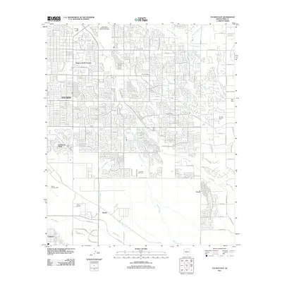 2011 Tucson East2011 Print · USGSEastern Tucson and its desert environs are documented here at a time of significant growth and aviation activity. Researchers can trace the layout of Civano, the operations at Davis Monthan AFB, and the courses of the Pantano Wash and Agua Caliente Wash.
- 2011 Map of Tanque Verde Peak, 2011 Print
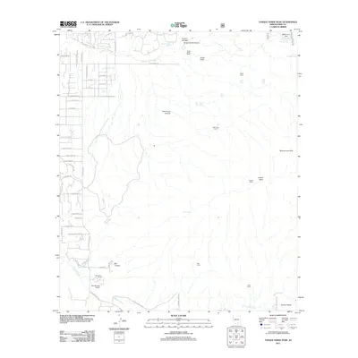 2011 Tanque Verde Peak2011 Print · USGSThe desert foothills east of Tucson are shown at a time when suburban development began to edge into the ranchlands. Researchers can find old landmarks like Thunderhead Airport, Tanque Verde Ranch, and remote sites like Cement Cabin.
- 2011 Map of Sabino Canyon, 2011 Print
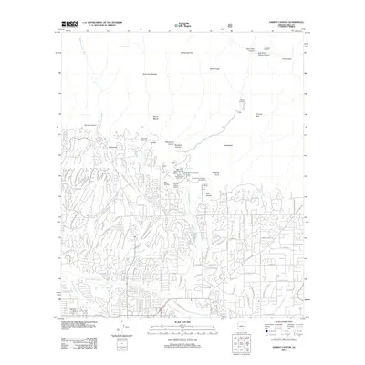 2011 Sabino Canyon2011 Print · USGSNortheast Tucson meets the Santa Catalina foothills in the early 2010s, showing where suburban neighborhoods press against the wilderness boundary. Researchers can trace the layout of the Fenster School, locate the Stone House, or follow the desert drainages of Tanque Verde Wash and Sabino Creek.
- 2011 Map of Tucson North, 2011 Print
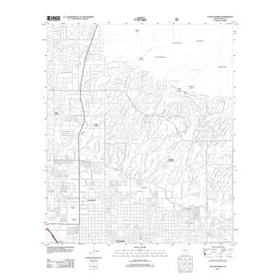 2011 Tucson North2011 Print · USGSNorthern Tucson and the mountain-fringed neighborhoods of the Santa Catalinas are documented here in the early twenty-first century. Genealogists and local historians can trace the developments of Casas Adobes or locate burials at Holy Hope Cemetery and Evergreen Cemetery.
- 2011 Map of San Xavier Mission, 2011 Print
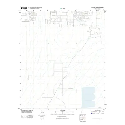 2011 San Xavier Mission2011 Print · USGSThe southern outskirts of Tucson meet tribal lands in the early 2010s. Genealogists and researchers can trace local infrastructure through Tohono O'odham Nation territory and the developments surrounding Black Mountain and S Mission Rd.
- 2012 Map of Corona De Tucson, 2012 Print
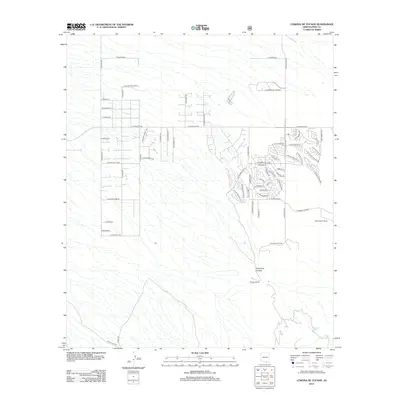 2012 Corona De Tucson2012 Print · USGSSoutheast of Tucson in the early twenty-first century, this area shows the meeting of desert ranches and modern residential development. Genealogists and local historians can trace family holdings at Mount Fagan Ranch and Johnson Ranch or explore the drainage of Sycamore Canyon.
- 2014 Map of Cat Mountain, 2014 Print
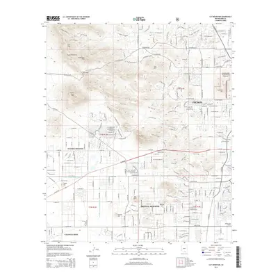 2014 Cat Mountain2014 Print · USGSThe western desert fringes of Tucson come into focus in the mid-2010s, where residential expansion meets the high peaks of the Tucson Mountains. Researchers can trace the integration of suburban Drexel Heights with prominent landmarks like Saginaw Hill and Tumamoc Hill.
- 2014 Map of Tanque Verde Peak, 2014 Print
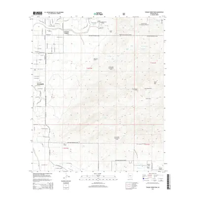 2014 Tanque Verde Peak2014 Print · USGSThe eastern edges of Tucson meet the Rincon Mountains during a period of modern desert expansion. Genealogists and local historians can trace legacy sites like the Tanque Verde Cemetery and Tanque Verde Ranch Cem near the banks of Tanque Verde Wash.
- 2014 Map of Tucson East, 2014 Print
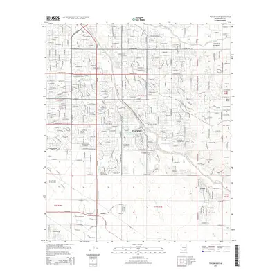 2014 Tucson East2014 Print · USGSEastern Pima County in the mid-2010s shows a landscape of desert washes and suburban growth at the edge of the Rincon foothills. Genealogists and local historians can trace the development of Tanque Verde and Civano or locate All Faiths Memorial Park.
- 2014 Map of Vail, 2014 Print
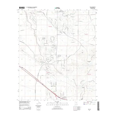 2014 Vail2014 Print · USGSSoutheast of Tucson in the mid-2010s, this area shows the desert floor meeting the foothills of the Rincon Mountains. Researchers can locate the Vail Childrens' Cem, the railroad point at Esmond, and the sprawling Rincon Valley settlements.
- 2014 Map of Tucson North, 2014 Print
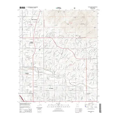 2014 Tucson North2014 Print · USGSThe northern Tucson valley meets the rugged Santa Catalina front in the early 21st century. Genealogists and local historians can trace legacy sites like the Tucson Pioneer Cemetery and Binghampton Cemetery near the Rillito River.
- 2014 Map of Tucson SE, 2014 Print
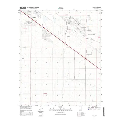 2014 Tucson SE2014 Print · USGSSoutheastern Tucson and the high desert plains are captured here in the mid-2010s during a period of suburban and industrial growth. Local researchers can trace the development of Wilmot and Esmond or locate modern landmarks like the Cactus Country RV Resort.
- 2014 Map of Sabino Canyon, 2014 Print
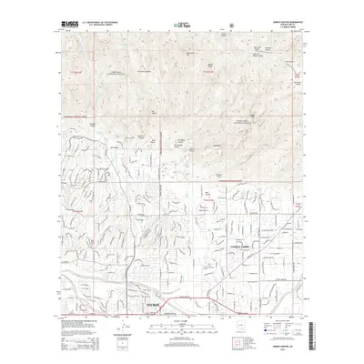 2014 Sabino Canyon2014 Print · USGSThe desert foothills above Tucson are captured here as modern neighborhoods meet the high peaks of the Coronado National Forest. Genealogists and hikers can trace landmarks like E Lawn Palms Cem, Geronimo Meadow, and the Arizona National Scenic Trail.
- 2014 Map of San Xavier Mission, 2014 Print
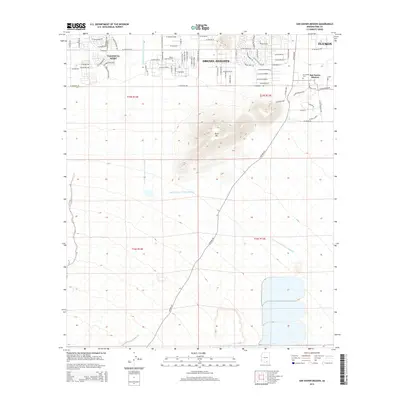 2014 San Xavier Mission2014 Print · USGSThe desert landscape south of Tucson comes alive in this survey of a region where historic tradition meets modern development. Researchers can trace the layout of San Xavier Mission, locate the Calvario Cem, and follow the path of the Central Arizona Project Aqueduct.
- 2014 Map of Tucson, 2014 Print
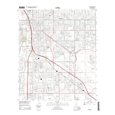 2014 Tucson2014 Print · USGSThe Tucson metropolitan area in the early 2010s shows a landscape of rapid urban development and deep military roots. Genealogists and historians can trace neighborhood growth near Pascua Yaqui Indian Village, Emery Park, and the massive Davis Monthan Air Force Base.
- 2014 Map of Jaynes, 2014 Print
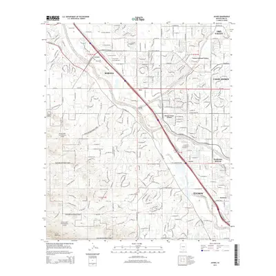 2014 Jaynes2014 Print · USGSThe northern edge of the Tucson basin comes into focus in the early twenty-first century as suburban growth meets the protected desert. Researchers can trace the intersection of the Santa Cruz River and Union Pacific Railroad near Jaynes and Cortaro.
- 2014 Map of Tucson SW, 2014 Print
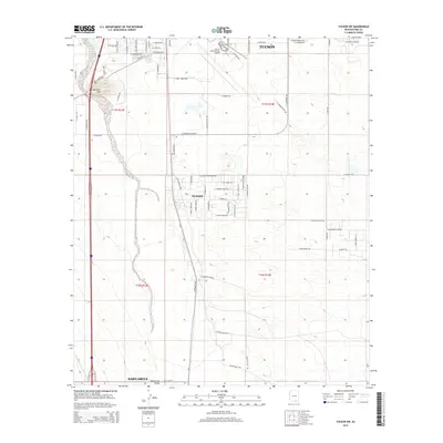 2014 Tucson SW2014 Print · USGSTucson and the Santa Cruz Valley are shown here in the early twenty-first century, featuring a landscape defined by aviation and water infrastructure. Genealogists and local historians can trace the growth of Summit and Sahuarita near the Tucson International Airport.
- 2014 Map of Corona De Tucson, 2014 Print
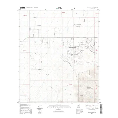 2014 Corona De Tucson2014 Print · USGSCorona de Tucson is shown during a period of modern expansion in the Arizona desert south of the city. Genealogists and local historians can trace the development of residential street networks and their proximity to Sycamore Canyon and the Coronado National Forest.
- 2018 Map of Tucson East, 2018 Print
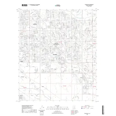 2018 Tucson East2018 Print · USGSEastern Arizona’s high desert meets late-century urban expansion in this survey of the Tucson metropolitan area. Local historians can trace the footprint of Davis Monthan Air Force Base and the growth of neighborhoods like Civano and Vandenberg Village.
Showing maps 1-25 of 36
Top cities near Tucson
- Marana historical maps
- Oro Valley historical maps
- Sahuarita historical maps
- Vail historical maps
- Corona de Tucson historical maps
- South Tucson historical maps
Top neighborhoods of Tucson
- Palo Verde Park historical maps
- Stockham historical maps
- Emery Park historical maps
- Blenman-Elm historical maps
- Jefferson Park historical maps
- Silvercroft historical maps
See more
Frequently asked questions
- What are the different types of historical maps available for Tucson?
- What is the oldest map of Tucson?
- Where can I purchase historical maps of Tucson for my home or office?
- Where can I download high-res historical maps of Tucson?
- Are there historical topographic maps available for Tucson?
- Is there historical aerial imagery available for Tucson?
- Where are historical maps of Tucson sourced from?