2020s Maps of Santa Cruz County, Arizona
Explore 31 historic maps of Santa Cruz County from the 2020s. These maps offer a rare glimpse into what life looked like during the 2020s — showing old roads, neighborhoods, homes, and landmarks that have changed or disappeared over time.
Whether you're researching your family's past, planning a metal detecting trip, or studying how Santa Cruz County's landscape evolved across the 2020s, these high-resolution maps are a powerful tool for exploring the history of this region.
- Focus on a specific era: All maps on this page are from the 2020s, giving you a focused view of this time period.
- See what’s changed: Compare century-old streets, trails, and buildings to today's modern landscape using overlays and satellite layers.
- Research with precision: Use these maps for genealogy, historical research, land use analysis, or educational projects.
- View, download, or print: Maps are fully viewable online in high resolution, and can be downloaded or printed for your own records.
Start exploring Santa Cruz County's history through authentic maps from the 2020s. This is your window into the past.
Santa Cruz County, AZ maps
(31)- 2021 Map of Ruby, 2021 Print
 2021 Ruby2021 Print · USGSThe Arizona borderlands near the Santa Cruz and Pajarito Mountains are shown in detail as they appeared in recent years. Researchers can trace the rugged topography around Ruby and locate landmarks like the Ramanote Canyon Natural Arch and Atascosa Peak.
 - 2021 Map of Cumero Canyon, 2021 Print
 2021 Cumero Canyon2021 Print · USGSSanta Cruz County at the start of the 2020s shows a landscape where aviation and recreation meet traditional ranching lands. Researchers can trace water resources like Barriles Tank and Flux Spring across the Patagonia Mountains or locate the settlement of Beyerville.
 - 2021 Map of San Cayetano Mountains, 2021 Print
 2021 San Cayetano Mountains2021 Print · USGSSanta Cruz County rangeland and peaks are captured here in the early twenty-first century, showing the intersection of ranching and conservation. Trace local landmarks like Alto and San Cayetano Peak, or locate water sources like Tejano Spring.
 - 2021 Map of Canelo Pass, 2021 Print
 2021 Canelo Pass2021 Print · USGSSanta Cruz County ranching and forest lands are captured here in the early twenty-first century, showing a remote landscape shaped by water and high-elevation trails. Researchers can trace the path of the Arizona National Scenic Trl as it crosses the Canelo Hills or locate historic water sites like Paloma Spring.
 - 2021 Map of Saucito Mountain, 2021 Print
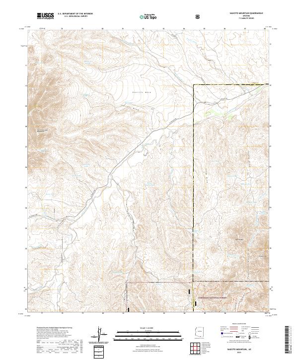 2021 Saucito Mountain2021 Print · USGSHigh desert ranching and mountain terrain in Pima County are documented here as they appeared in the early twenty-first century. Researchers can trace cattle-country infrastructure through numerous named tanks like Sparkplug Tank and paths like the Sardina Trl.
 - 2021 Map of Arivaca, 2021 Print
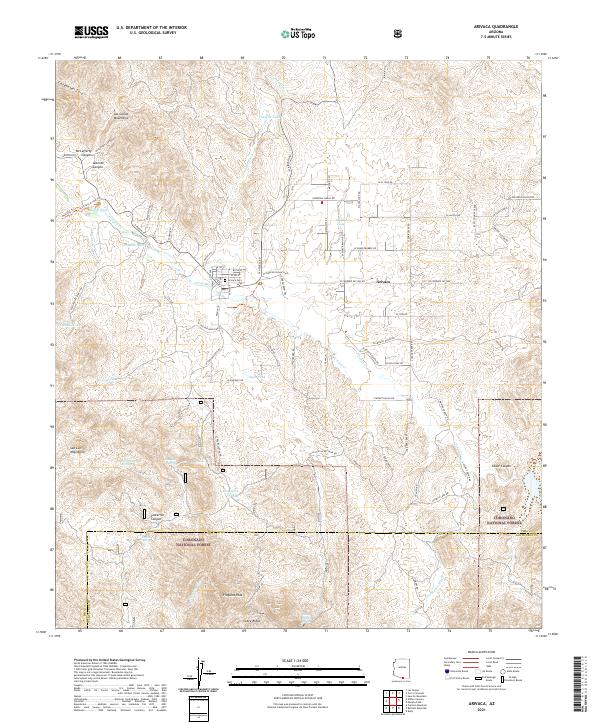 2021 Arivaca2021 Print · USGSArivaca and the surrounding high-desert borderlands are shown here in the 2020s, highlighting the area's complex ranching and conservation history. Trace local genealogy at the Arivaca Cem or follow old routes like W Yellow Jacket Mine Rd into the Coronado National Forest.
 - 2021 Map of Pajarito Peak, 2021 Print
 2021 Pajarito Peak2021 Print · USGSThe Arizona-Mexico borderlands come into focus in 2021, showing the remote high country where the Coronado National Forest meets the international boundary. Researchers can trace remote water sources like Mine Shaft Spring and the Border Trl along Mojohave Ridge.
 - 2021 Map of Alamo Spring, 2021 Print
 2021 Alamo Spring2021 Print · USGSThe international boundary between Arizona and Mexico takes center stage in this modern survey of the high desert. Researchers can trace remote water sources like Alamo Spring and cattle tanks including Childdote Tank along the Pajarito Mountains.
 - 2021 Map of Bartlett Mountain, 2021 Print
 2021 Bartlett Mountain2021 Print · USGSThe Arizona borderlands near the Santa Cruz and Pima county lines are captured here in the early twenty-first century. Genealogists and historians can trace the remote outposts of Oro Blanco and Old Glory or locate landmarks like Cemetery Tank.
 - 2021 Map of Amado, 2021 Print
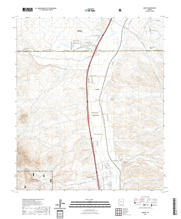 2021 Amado2021 Print · USGSThe Santa Cruz River valley comes into focus in this recent survey of southern Arizona's ranching and transit corridor. Researchers can trace the development of Amado and Agua Linda or locate water sources like Diablito Spring and Patterson Tank near the Tumacacori Mountains.
 - 2021 Map of Pena Blanca Lake, 2021 Print
 2021 Pena Blanca Lake2021 Print · USGSIn the high desert of Santa Cruz County, this recent survey illustrates the terrain of the Coronado National Forest. Researchers can locate seasonal water sources like Peña Blanca Spring and landmarks such as Castle Rock.
 - 2021 Map of Murphy Peak, 2021 Print
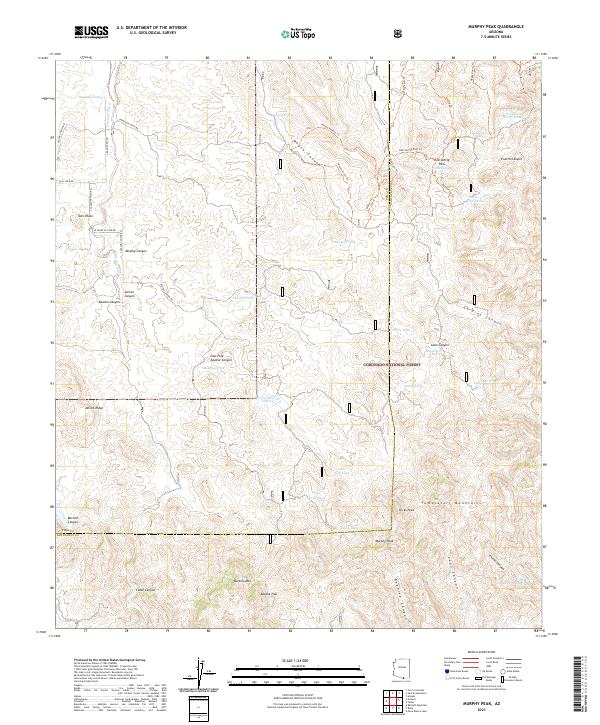 2021 Murphy Peak2021 Print · USGSThe Arizona borderlands in the early twenty-first century reveal a landscape of high-desert peaks and critical water catchments. Researchers can trace the rugged topography of Bartolo Mtn and the Tumacacori Mountains, finding remote sites like Apache Pass and Red Spring.
 - 2021 Map of Tubac, 2021 Print
 2021 Tubac2021 Print · USGSThe Santa Cruz River valley comes alive in this 2021 study of Southern Arizona's high desert settlements and protected lands. Genealogists and historians can trace the layouts of Tubac and Tumacacori-Carmen alongside landmarks like Tumacacori National Historical Park.
 - 2021 Map of Mount Hughes, 2021 Print
 2021 Mount Hughes2021 Print · USGSThe high desert landscape of Santa Cruz County comes into focus in this recent survey of the peaks and canyons surrounding Patagonia. Researchers can trace modern conservation paths like the Arizona National Scenic Trl alongside landmarks such as Mt Hughes, Red Mtn, and Candelario Peak.
 - 2021 Map of Lochiel, 2021 Print
 2021 Lochiel2021 Print · USGSThe borderlands of Santa Cruz County are mapped here in the modern era, showing the remote settlement of Lochiel at the international boundary. Genealogists and ranchers can trace the vital water sources of the San Rafael Valley, including Sheehy Spring and Arlene Tank.
 - 2021 Map of Patagonia, 2021 Print
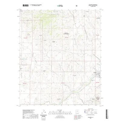 2021 Patagonia2021 Print · USGSCovers Santa Cruz County, including Town of Patagonia, Patagonia, and other nearby areas
 - 2021 Map of Huachuca Peak, 2021 Print
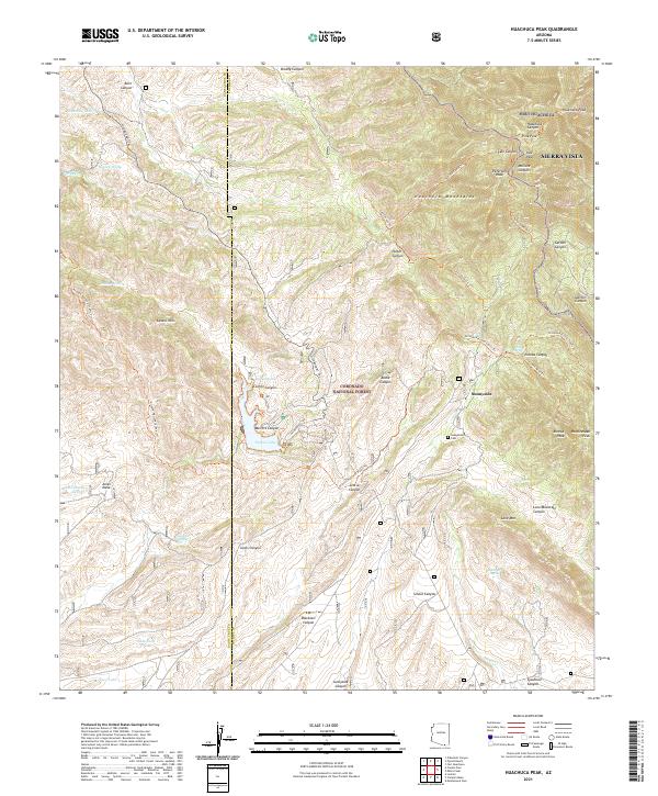 2021 Huachuca Peak2021 Print · USGSHigh in the southern Arizona mountains in 2021, this survey documents the rugged terrain around the Sunnyside settlement. Researchers can trace historic ranching sites like Beckers Folly or locate the Sunnyside Cem near Parker Lake.
 - 2021 Map of Kino Springs, 2021 Print
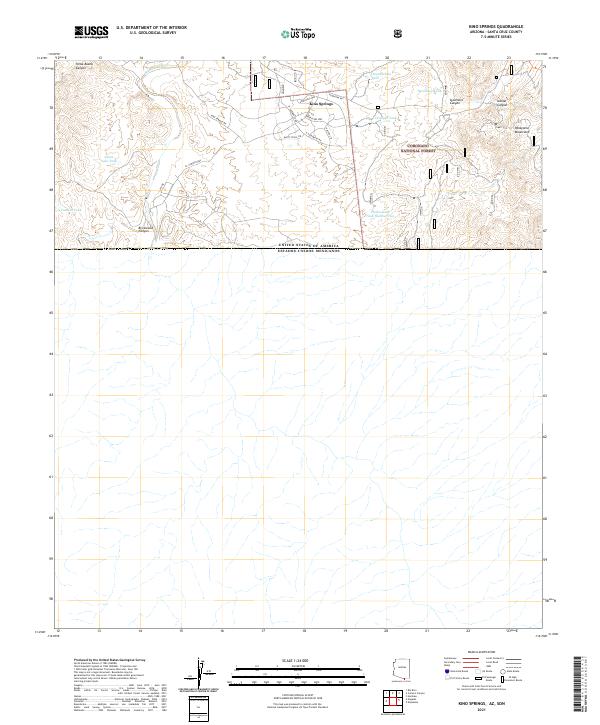 2021 Kino Springs2021 Print · USGSThe borderlands of southern Arizona are captured here just north of the Mexican line in the early twenty-first century. Genealogists and historians can trace the residential streets of Kino Springs or locate rural water landmarks like Quien Sabe Tank and Granger Tank.
 - 2021 Map of Sonoita, 2021 Print
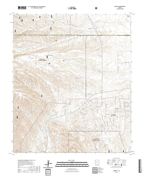 2021 Sonoita2021 Print · USGSSanta Cruz County ranching culture and high-desert terrain are mapped here in the early twenty-first century. Genealogists and hikers can trace the Arizona National Scenic Trl past historic water points like Cottonwood Spring and the Hacienda Los Encino estate.
 - 2021 Map of Mustang Mountains, 2021 Print
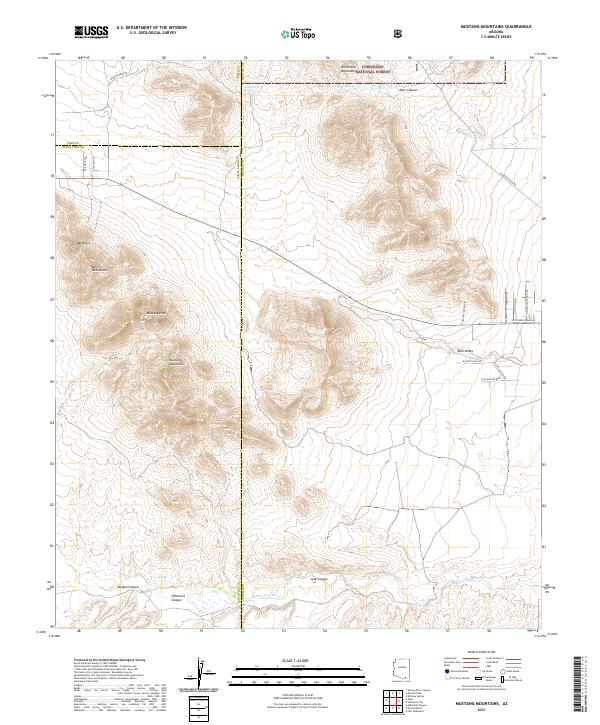 2021 Mustang Mountains2021 Print · USGSThe high desert of Southern Arizona comes into focus here during the early twenty-first century, centered on the convergence of three county lines. Researchers can trace the rugged drainages of Lyle Canyon toward the Babocomari River or locate remote water sources like Cottonwood Spring.
 - 2021 Map of Elgin, 2021 Print
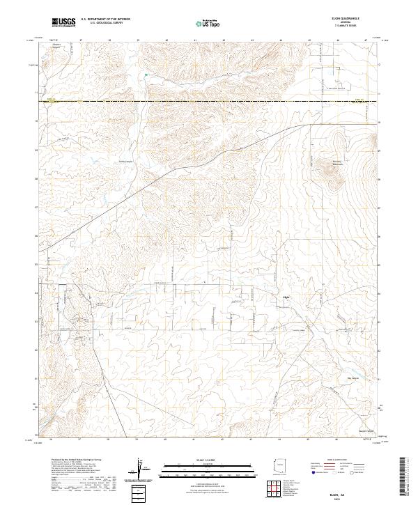 2021 Elgin2021 Print · USGSElgin and the surrounding high-desert ranchlands appear here in the early twenty-first century, showing a landscape defined by river basins and mountain slopes. Genealogists and local historians can trace modern property lines and named roads like Elgin Rd and Lower Elgin Rd along the Babocomari River.
 - 2021 Map of O'Donnell Canyon, 2021 Print
 2021 O'Donnell Canyon2021 Print · USGSSanta Cruz County at the start of the 2020s remains a landscape of ranching traditions and protected forest land. Researchers can trace the path of the Arizona National Scenic Trl and locate local landmarks like Canelo and Black Oak Cem.
 - 2021 Map of Mount Hopkins, 2021 Print
 2021 Mount Hopkins2021 Print · USGSThe Santa Rita Mountains and the Pima-Santa Cruz county line are captured here in 2021, showing the complex canyons of the Coronado National Forest. Trace the historical routes of the Quantrell Mine Trl or locate landmarks like Elephant Head and Ocotillo Tank.
 - 2021 Map of Harshaw, 2021 Print
 2021 Harshaw2021 Print · USGSThe southern reaches of the Arizona high desert come alive in this survey of the Patagonia Mountains during the early 2020s. Researchers can locate the historic sites of Harshaw and Trench Camp or trace remote water sources like Worlds Fair Spring and Apache Tank.
 - 2021 Map of Nogales, 2021 Print
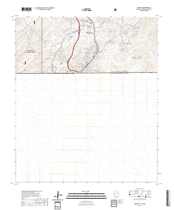 2021 Nogales2021 Print · USGSNogales stands at the southern edge of Arizona at the Mexican border during the early twenty-first century. Researchers can trace the modern street grid past the Santa Cruz County Superior Courthouse and into the canyons of Coronado National Forest.
Showing maps 1-25 of 31
Top cities of Santa Cruz County
- Nogales historical maps
- Town of Patagonia historical maps
- Sonoita historical maps
- Amado historical maps
Frequently asked questions
- What are the different types of historical maps available for Santa Cruz County?
- What is the oldest map of Santa Cruz County?
- Where can I purchase historical maps of Santa Cruz County for my home or office?
- Where can I download high-res historical maps of Santa Cruz County?
- Are there historical topographic maps available for Santa Cruz County?
- Is there historical aerial imagery available for Santa Cruz County?
- Where are historical maps of Santa Cruz County sourced from?