2000s (21st Century) Maps of Santa Cruz County, Arizona
Explore 132 historic maps of Santa Cruz County from the 2000s (21st Century). These maps offer a rare glimpse into what life looked like during the 2000s — showing old roads, neighborhoods, homes, and landmarks that have changed or disappeared over time.
Whether you're researching your family's past, planning a metal detecting trip, or studying how Santa Cruz County's landscape evolved across the 2000s, these high-resolution maps are a powerful tool for exploring the history of this region.
- Focus on a specific era: All maps on this page are from the 2000s, giving you a focused view of this time period.
- See what’s changed: Compare century-old streets, trails, and buildings to today's modern landscape using overlays and satellite layers.
- Research with precision: Use these maps for genealogy, historical research, land use analysis, or educational projects.
- View, download, or print: Maps are fully viewable online in high resolution, and can be downloaded or printed for your own records.
Start exploring Santa Cruz County's history through authentic maps from the 2000s. This is your window into the past.
Santa Cruz County, AZ maps
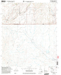
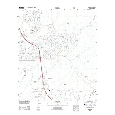
(132)- 2004 Map of Amado, 2006 Print
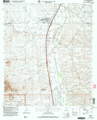 2004 Amado2006 Print · USGSThe Santa Cruz River valley comes into focus during the early 2000s, showing a mix of historic ranching and modern residential growth. Genealogists and researchers can trace family-named sites like Sopori Ranch and Rex Ranch or locate the Sopori Sch near Arivaca Junction.
 - 2004 Map of Saucito Mountain, 2006 Print
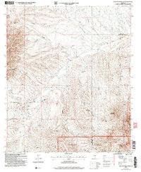 2004 Saucito Mountain2006 Print · USGSArizona's desert ranching country is mapped here in the early 2000s near the Pima and Santa Cruz county line. Researchers can trace land use at the Old Sopori Sch, KX Ranch, and small family-named landmarks like Sheriffs Mesa.
 - 2004 Map of Kino Springs, 2007 Print
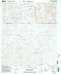 2004 Kino Springs2007 Print · USGSThe Arizona-Mexico border landscape comes into focus at the start of the millennium, tracing the Santa Cruz River as it flows south into Sonora. Genealogists and historians can locate legacy settlements and ranching sites like Buena Vista Ranch, Mascareñas, and La Capilla.
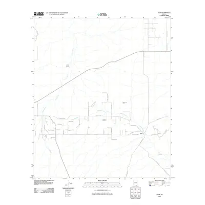
 - 2004 Map of Nogales, 2007 Print
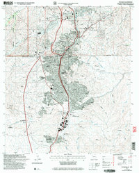 2004 Nogales2007 Print · USGSThe Arizona-Mexico border at Nogales is shown in detail during the early 2000s, capturing the dense urban cross-border landscape. Genealogists and historians can trace neighborhood growth through numerous colonias like Colonia Esperanza and locate civic landmarks such as Sacred Heart Ch and the Arizona National Guard Armory.
 - 2004 Map of Campini Mesa, 2007 Print
 2004 Campini Mesa2007 Print · USGSThe Arizona-Mexico borderlands come into sharp focus in the early 2000s, where high desert ranching meets the rugged southern canyons. Genealogists and historians can trace family land holdings at Bercich Ranch or follow the complex arroyo systems leading to Las Peñitas and Álamo Gordo.
 - 2004 Map of Ruby, 2007 Print
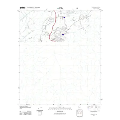
 2004 Ruby2007 Print · USGSSanta Cruz County's high desert mining country is documented here just after the millennium, centered on the settlement of Ruby. Genealogists and historians can trace the local mining footprint through the Montana Mine, Oro Blanco Mine, and the Ruby Trail.
 - 2004 Map of Pajarito Peak, 2007 Print
 2004 Pajarito Peak2007 Print · USGSThe Arizona-Sonora borderlands come into focus at the start of the new millennium, detailing a landscape defined by mining and mountain peaks. Researchers can trace the international line while identifying sites like the Sunset Mine and several former settlements such as El Norteño.
 - 2004 Map of Lochiel, 2007 Print
 2004 Lochiel2007 Print · USGSThe international borderlands of the San Rafael Valley come alive in this map from the turn of the millennium. Genealogists and historians can trace old outposts like Lochiel and San Fernando, alongside several vanished sites including La Escondida (Abandonada).
 - 2004 Map of Alamo Spring, 2007 Print
 2004 Alamo Spring2007 Print · USGSThe Arizona-Mexico borderlands are captured here in the early 2000s, showcasing the high-desert terrain of the Pajarita Mountains. Researchers can locate legacy sites like Las Juntas (Abandonada) and Alamo Spring among the winding arroyos of the Pajarita Wilderness.
 - 2004 Map of Bartlett Mountain, 2007 Print
 2004 Bartlett Mountain2007 Print · USGSArizona's southern borderlands come into focus in the early 2000s as a region of deep canyons and historic mining claims. Trace the legacy of extraction at the Saint Christopher Mine, locate the El Oro Cem, or find the Casa Piedra ruins near the international line.
 - 2004 Map of Duquesne, 2007 Print
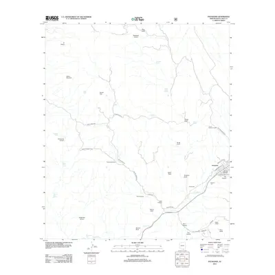
 2004 Duquesne2007 Print · USGSThe Patagonia Mountains mining district is captured here at the turn of the millennium. Genealogists and historians can trace old claims like the Empire Mine or locate the Fray Marcos De Niza Historical Monument and Heady-Ashburn Ranch.
 - 2011 Map of Elgin, 2011 Print
 2011 Elgin2011 Print · USGSCovers Santa Cruz County, including Sonoita, Elgin, and other nearby areas
 - 2012 Map of Mount Hughes, 2012 Print
 2012 Mount Hughes2012 Print · USGSCovers Santa Cruz County, including Town of Patagonia, Sonoita, and other nearby areas
 - 2012 Map of Cumero Canyon, 2012 Print
 2012 Cumero Canyon2012 Print · USGSCovers Santa Cruz County, including United States, Arizona, and other nearby areas
 - 2012 Map of Canelo Pass, 2012 Print
 2012 Canelo Pass2012 Print · USGSCovers Santa Cruz County, including United States, Arizona, and other nearby areas
 - 2012 Map of O'Donnell Canyon, 2012 Print
 2012 O'Donnell Canyon2012 Print · USGSCovers Santa Cruz County, including Sonoita, Canelo, and other nearby areas
 - 2012 Map of Nogales, 2012 Print
 2012 Nogales2012 Print · USGSCovers Santa Cruz County, including Heroica Nogales, Nogales, and other nearby areas
 - 2012 Map of Huachuca Peak, 2012 Print
 2012 Huachuca Peak2012 Print · USGSCovers Santa Cruz County, including Sierra Vista, Cochise County, and other nearby areas
 - 2012 Map of Harshaw, 2012 Print
 2012 Harshaw2012 Print · USGSCovers Santa Cruz County, including Harshaw, Washington Camp, and other nearby areas
 - 2012 Map of Rio Rico, 2012 Print
 2012 Rio Rico2012 Print · USGSCovers Santa Cruz County, including Nogales, Beyerville, and other nearby areas
 - 2012 Map of Duquesne, 2012 Print
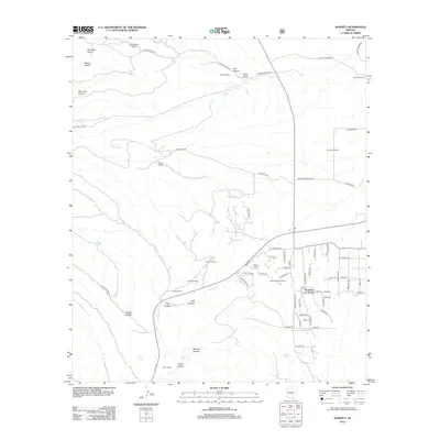
 2012 Duquesne2012 Print · USGSCovers Santa Cruz County, including Duquesne, Nogales, and other nearby areas
 - 2012 Map of Sonoita, 2012 Print
 2012 Sonoita2012 Print · USGSCovers Santa Cruz County, including Sonoita, Hacienda Los Encino, and other nearby areas
 - 2012 Map of San Cayetano Mountains, 2012 Print
 2012 San Cayetano Mountains2012 Print · USGSCovers Santa Cruz County, including United States, Arizona, and other nearby areas
 - 2012 Map of Pajarito Peak, 2012 Print
 2012 Pajarito Peak2012 Print · USGSCovers Santa Cruz County, including El Ruido, Nogales, and other nearby areas
 - 2012 Map of Patagonia, 2012 Print
 2012 Patagonia2012 Print · USGSCovers Santa Cruz County, including Town of Patagonia, Patagonia, and other nearby areas
Showing maps 1-25 of 132
Top cities of Santa Cruz County
- Nogales historical maps
- Town of Patagonia historical maps
- Sonoita historical maps
- Amado historical maps
Frequently asked questions
- What are the different types of historical maps available for Santa Cruz County?
- What is the oldest map of Santa Cruz County?
- Where can I purchase historical maps of Santa Cruz County for my home or office?
- Where can I download high-res historical maps of Santa Cruz County?
- Are there historical topographic maps available for Santa Cruz County?
- Is there historical aerial imagery available for Santa Cruz County?
- Where are historical maps of Santa Cruz County sourced from?