2000s (21st Century) Maps of Sonoita, Arizona
Explore 20 historic maps of Sonoita from the 2000s (21st Century). These maps offer a rare glimpse into what life looked like during the 2000s — showing old roads, neighborhoods, homes, and landmarks that have changed or disappeared over time.
Whether you're researching your family's past, planning a metal detecting trip, or studying how Sonoita's landscape evolved across the 2000s, these high-resolution maps are a powerful tool for exploring the history of this region.
- Focus on a specific era: All maps on this page are from the 2000s, giving you a focused view of this time period.
- See what’s changed: Compare century-old streets, trails, and buildings to today's modern landscape using overlays and satellite layers.
- Research with precision: Use these maps for genealogy, historical research, land use analysis, or educational projects.
- View, download, or print: Maps are fully viewable online in high resolution, and can be downloaded or printed for your own records.
Start exploring Sonoita's history through authentic maps from the 2000s. This is your window into the past.
Sonoita, AZ maps
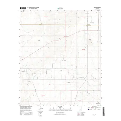
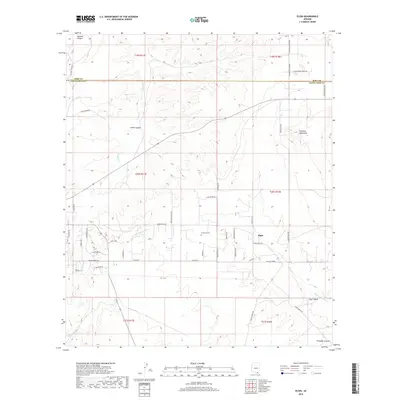
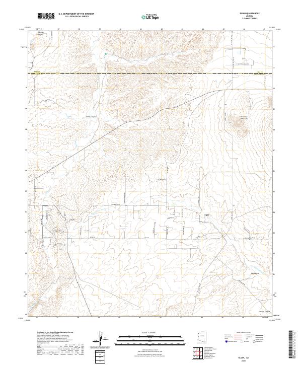
(20)- 2011 Map of Elgin, 2011 Print
 2011 Elgin2011 Print · USGSCovers Sonoita, including Elgin, Pima County, and other nearby areas
 - 2012 Map of Mount Hughes, 2012 Print
 2012 Mount Hughes2012 Print · USGSCovers Sonoita, including Town of Patagonia, Santa Cruz County, and other nearby areas
 - 2012 Map of O'Donnell Canyon, 2012 Print
 2012 O'Donnell Canyon2012 Print · USGSCovers Sonoita, including Canelo, Santa Cruz County, and other nearby areas
 - 2012 Map of Sonoita, 2012 Print
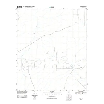
 2012 Sonoita2012 Print · USGSCovers Sonoita, including Hacienda Los Encino, Pima County, and other nearby areas
 - 2012 Map of Mount Wrightson, 2012 Print
 2012 Mount Wrightson2012 Print · USGSCovers Sonoita, including Madera Canyon, Pima County, and other nearby areas
 - 2014 Map of Mount Wrightson, 2014 Print
 2014 Mount Wrightson2014 Print · USGSCovers Sonoita, including Madera Canyon, Pima County, and other nearby areas
 - 2014 Map of Mount Hughes, 2014 Print
 2014 Mount Hughes2014 Print · USGSCovers Sonoita, including Town of Patagonia, Santa Cruz County, and other nearby areas
 - 2014 Map of Sonoita, 2014 Print
 2014 Sonoita2014 Print · USGSCovers Sonoita, including Hacienda Los Encino, Pima County, and other nearby areas
 - 2014 Map of O'Donnell Canyon, 2014 Print
 2014 O'Donnell Canyon2014 Print · USGSCovers Sonoita, including Canelo, Santa Cruz County, and other nearby areas
 - 2014 Map of Elgin, 2014 Print
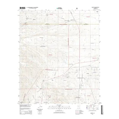
 2014 Elgin2014 Print · USGSCovers Sonoita, including Elgin, Pima County, and other nearby areas
 - 2018 Map of O'Donnell Canyon, 2018 Print
 2018 O'Donnell Canyon2018 Print · USGSCovers Sonoita, including Canelo, Santa Cruz County, and other nearby areas
 - 2018 Map of Elgin, 2018 Print
 2018 Elgin2018 Print · USGSCovers Sonoita, including Elgin, Pima County, and other nearby areas
 - 2018 Map of Mount Wrightson, 2018 Print
 2018 Mount Wrightson2018 Print · USGSCovers Sonoita, including Madera Canyon, Pima County, and other nearby areas
 - 2018 Map of Sonoita, 2018 Print
 2018 Sonoita2018 Print · USGSCovers Sonoita, including Hacienda Los Encino, Pima County, and other nearby areas
 - 2018 Map of Mount Hughes, 2018 Print
 2018 Mount Hughes2018 Print · USGSCovers Sonoita, including Town of Patagonia, Santa Cruz County, and other nearby areas
 - 2021 Map of Mount Hughes, 2021 Print
 2021 Mount Hughes2021 Print · USGSThe high desert landscape of Santa Cruz County comes into focus in this recent survey of the peaks and canyons surrounding Patagonia. Researchers can trace modern conservation paths like the Arizona National Scenic Trl alongside landmarks such as Mt Hughes, Red Mtn, and Candelario Peak.
 - 2021 Map of Sonoita, 2021 Print
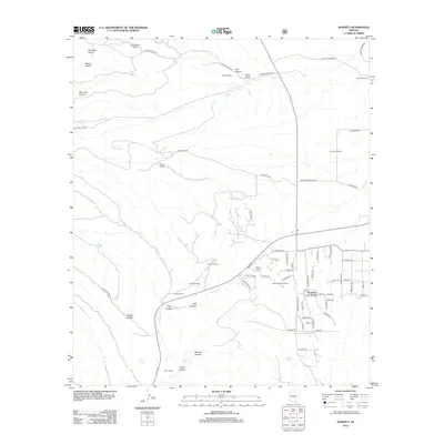
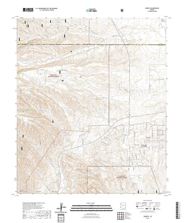 2021 Sonoita2021 Print · USGSSanta Cruz County ranching culture and high-desert terrain are mapped here in the early twenty-first century. Genealogists and hikers can trace the Arizona National Scenic Trl past historic water points like Cottonwood Spring and the Hacienda Los Encino estate.
 - 2021 Map of Elgin, 2021 Print
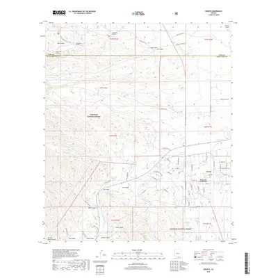
 2021 Elgin2021 Print · USGSElgin and the surrounding high-desert ranchlands appear here in the early twenty-first century, showing a landscape defined by river basins and mountain slopes. Genealogists and local historians can trace modern property lines and named roads like Elgin Rd and Lower Elgin Rd along the Babocomari River.
 - 2021 Map of O'Donnell Canyon, 2021 Print
 2021 O'Donnell Canyon2021 Print · USGSSanta Cruz County at the start of the 2020s remains a landscape of ranching traditions and protected forest land. Researchers can trace the path of the Arizona National Scenic Trl and locate local landmarks like Canelo and Black Oak Cem.
 - 2021 Map of Mount Wrightson, 2021 Print
 2021 Mount Wrightson2021 Print · USGSThe high peaks of the Santa Cruz and Pima county line are captured here in the early twenty-first century. Researchers can trace the complex drainage patterns of Temporal Gulch and locate vital water sources like Bog Springs and Kent Spring near the summit of Mt Wrightson.
End of results
Showing maps 1-20 of 20
Top cities near Sonoita
Top neighborhoods of Sonoita
Frequently asked questions
- What are the different types of historical maps available for Sonoita?
- What is the oldest map of Sonoita?
- Where can I purchase historical maps of Sonoita for my home or office?
- Where can I download high-res historical maps of Sonoita?
- Are there historical topographic maps available for Sonoita?
- Is there historical aerial imagery available for Sonoita?
- Where are historical maps of Sonoita sourced from?