2000s (21st Century) Maps of Calhoun County, Arkansas
Explore 100 historic maps of Calhoun County from the 2000s (21st Century). These maps offer a rare glimpse into what life looked like during the 2000s — showing old roads, neighborhoods, homes, and landmarks that have changed or disappeared over time.
Whether you're researching your family's past, planning a metal detecting trip, or studying how Calhoun County's landscape evolved across the 2000s, these high-resolution maps are a powerful tool for exploring the history of this region.
- Focus on a specific era: All maps on this page are from the 2000s, giving you a focused view of this time period.
- See what’s changed: Compare century-old streets, trails, and buildings to today's modern landscape using overlays and satellite layers.
- Research with precision: Use these maps for genealogy, historical research, land use analysis, or educational projects.
- View, download, or print: Maps are fully viewable online in high resolution, and can be downloaded or printed for your own records.
Start exploring Calhoun County's history through authentic maps from the 2000s. This is your window into the past.
Calhoun County, AR maps
(100)- 2011 Map of Tinsman, 2011 Print
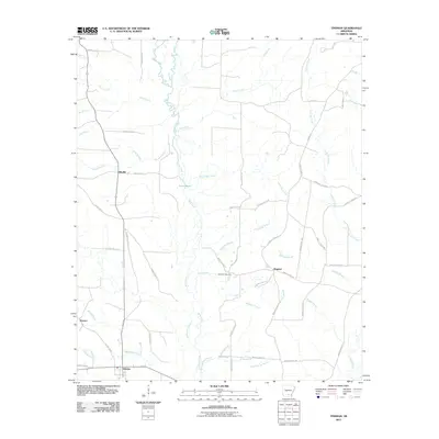 2011 Tinsman2011 Print · USGSCalhoun County timberlands and rural crossroads are captured here during the early twenty-first century. Genealogists can locate Williams Cemetery and trace the small settlements of Tinsman, Ellisville, and Wagnon along the winding banks of Moro Creek.
 - 2011 Map of Louann, 2011 Print
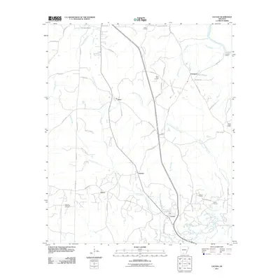 2011 Louann2011 Print · USGSOuachita County oil country and rural settlements are well-documented in this 2011 study of the Louann area. Local historians can trace family roots through the East Pace City Oil and Gas Field and numerous burial grounds like Old Liberty Cemetery and Jones Cemetery.
 - 2011 Map of East Camden, 2011 Print
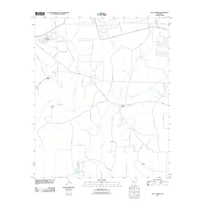 2011 East Camden2011 Print · USGSOuachita County at the dawn of the 2010s reveals a landscape shaped by petroleum and winding bayous. Genealogists and local historians can locate Furr Cemetery, trace the Locust Bayou Oil Field, or follow the banks of Two Bayou.
 - 2011 Map of Harrell Brake, 2011 Print
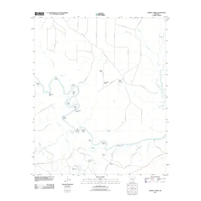 2011 Harrell Brake2011 Print · USGSThe Ouachita River dominates this Union County landscape in the early twenty-first century, carving a path through numerous bends and ridges. Researchers can trace the local energy economy and family history at the Wilmington Oil and Gas Field, Miller Cemetery, and Lock and Dam Number 8.
 - 2011 Map of Banks, 2011 Print
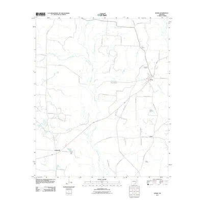 2011 Banks2011 Print · USGSBradley County's rural landscape is shown here in the early 21st century, centered on the town of Banks. Researchers can trace local genealogy through several sites including McFarland Cemetery, Childs Cemetery, and the settlement at Lanark.
 - 2011 Map of Hampton, 2011 Print
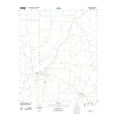 2011 Hampton2011 Print · USGSCalhoun County's rural landscape is captured here in the early twenty-first century, centered on the hub of Hampton. Researchers can trace the layout of local settlements like Harrell and Cram or locate family history at Means Cemetery and Macedonia Cemetery.
 - 2011 Map of Eagle Mills, 2011 Print
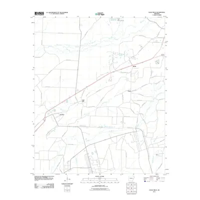 2011 Eagle Mills2011 Print · USGSOuachita County's rural timber and creek lands are captured here in the early 21st century. Genealogists and local historians can trace the roads connecting Eagle Mills, Millville, and Shumaker, or locate the Evans Cemetery near Dogwood Creek.
 - 2011 Map of Hopeville, 2011 Print
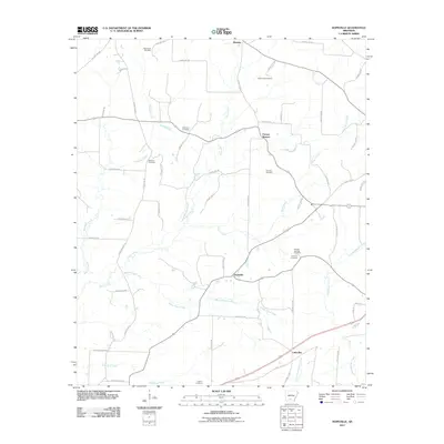 2011 Hopeville2011 Print · USGSSouthern Arkansas timber and creek lands are captured here in the early twenty-first century, centered on the community of Hopeville. Researchers can locate several family burial grounds including Wheelers Cemetery, McDonald Cemetery, and Harlow Cemetery.
 - 2011 Map of Fordyce, 2011 Print
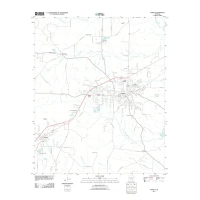 2011 Fordyce2011 Print · USGSThe community of Fordyce and its Dallas County surroundings are shown here in the early twenty-first century. Researchers can trace the layout of several historical settlements including Thornton, Bucksnort, and Ebenezer, alongside local landmarks like Oakland Cemetery.
 - 2011 Map of Woodberry, 2011 Print
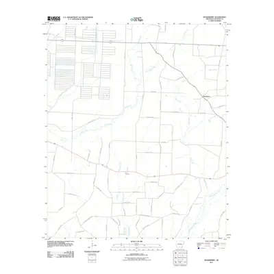 2011 Woodberry2011 Print · USGSCalhoun County's timber and creek lands are captured here during the early twenty-first century. Genealogists and local historians can trace family roots through Dunn Cemetery and landmarks like Stout Tram or the Cotton Belt Spur Rd.
 - 2011 Map of Jersey, 2011 Print
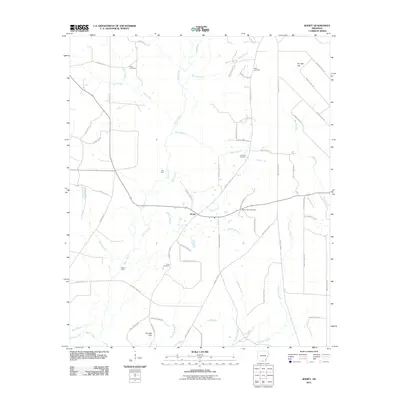 2011 Jersey2011 Print · USGSIn the early twenty-first century, this southern Arkansas landscape remains defined by its rural routes and deep creek drainages. Genealogists can trace family history through sites like Mount Zion Cemetery and Belin Cemetery, or locate old crossings at Mill Ford.
 - 2011 Map of Snow Hill, 2011 Print
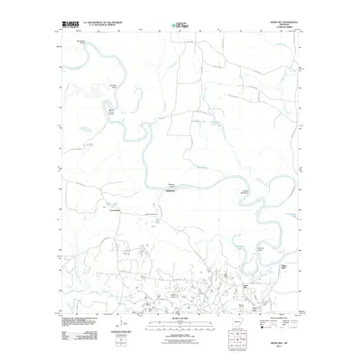 2011 Snow Hill2011 Print · USGSSouthern Arkansas at the turn of the decade reveals a landscape shaped by both the winding Ouachita River and the industrial activity of the Smackover Oil and Gas Field. Researchers can trace old connections between Snow Hill, Newport, and Joyce City along with local landmarks like Millers Bluff.
 - 2011 Map of Artesian, 2011 Print
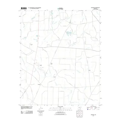 2011 Artesian2011 Print · USGSCalhoun County's petroleum and timber country is documented here at the start of the 2010s. Researchers can locate family sites at Faustina Cemetery and trace the industrial footprint of the Artesian Oil Field and Lloyd Creek Oil Field.
 - 2011 Map of Chambersville, 2011 Print
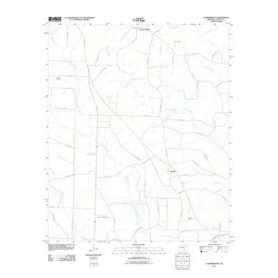 2011 Chambersville2011 Print · USGSChambersville and the surrounding Calhoun County timberlands are mapped here in the early twenty-first century. Genealogists can locate Calaway Cemetery and Newton Cemetery, while researchers can trace the diagonal route of the T and A Tram through the creek bottoms.
 - 2011 Map of Camden, 2011 Print
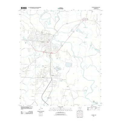 2011 Camden2011 Print · USGSOuachita County's riverfront and urban centers are shown here in the early twenty-first century as they grew along the meandering Ouachita River. Researchers can trace family history at the Confederate Cemetery or explore the nearby settlements of Cullendale and Fairview.
 - 2011 Map of Calion, 2011 Print
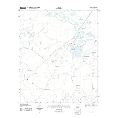 2011 Calion2011 Print · USGSThe Ouachita River valley south of the Smackover confluence remains a hub of energy production and river culture in the early twenty-first century. Researchers can locate numerous family burial grounds like Langford Cemetery and trace the legacy of the Smackover Oil and Gas Field near the settlement of Champagnolle.
 - 2011 Map of Bearden, 2011 Print
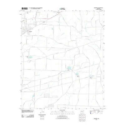 2011 Bearden2011 Print · USGSThe town of Bearden and the surrounding Ouachita County countryside are captured here in the early twenty-first century. Researchers can trace local lineage and land use through features like Moss Hill Cemetery, the community of Harlow, and the managed waters of North Pond.
 - 2011 Map of Smackover NE, 2011 Print
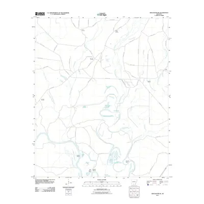 2011 Smackover NE2011 Print · USGSThe Ouachita River bottomlands are captured here in the early twenty-first century, showing a landscape defined by shifting waters and rural industry. Genealogists and local historians can locate several family burial grounds like Primm Cemetery and Pickett Cemetery, or trace the reaches of the Hampton Oil Field.
 - 2011 Map of Moro Bay, 2011 Print
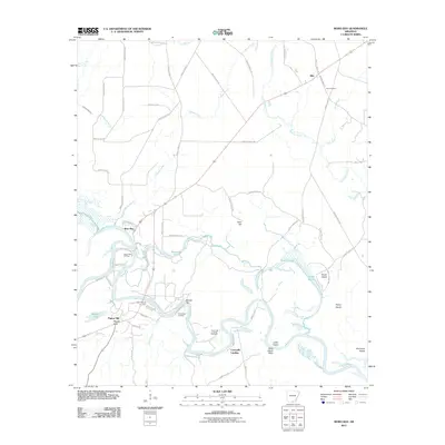 2011 Moro Bay2011 Print · USGSThe Ouachita River corridor in Bradley County is captured here during the early twenty-first century, showing a landscape defined by river navigation and petroleum extraction. Researchers can locate Hilo Cemetery, trace the Pigeon Hill Oil Field, and explore riverside landmarks like Careyville Landing.
 - 2011 Map of Kingsland, 2011 Print
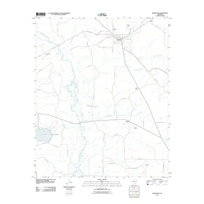 2011 Kingsland2011 Print · USGSCleveland County at the start of the 2010s reveals a landscape defined by small settlements and the winding paths of Moro Creek and Saline. Genealogists can trace family footprints through sites like Kingsland Cemetery, Crain Cemetery, and the quiet crossroads at Tipton.
 - 2014 Map of Kingsland, 2014 Print
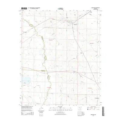 2014 Kingsland2014 Print · USGSCleveland County's timberlands and creek bottoms are captured here in the mid-2010s as traditional rural life continues around Kingsland. Researchers can trace family history through Kingsland Cem, McCoy Cem, and local routes like OLD GIN RD and MARKS CEMETARY RD.
 - 2014 Map of Eagle Mills, 2014 Print
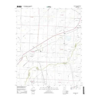 2014 Eagle Mills2014 Print · USGSThe railroad corridor through Bearden and Eagle Mills defined this Arkansas landscape in the early 2010s. Researchers can trace rural family roots and old township lines near Evans Cem, Millville, and the waters of Two Bayou.
 - 2014 Map of Banks, 2014 Print
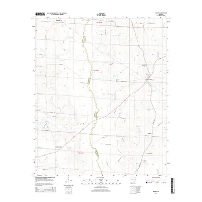 2014 Banks2014 Print · USGSCoastal plain timberlands and river bottoms define the Bradley and Calhoun county line in the early twenty-first century. Researchers can trace rural cemeteries such as Childs Cem and McLeod Cem or explore the settlements of Banks and Summerville.
 - 2014 Map of Louann, 2014 Print
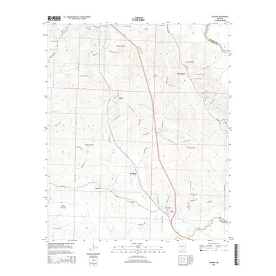 2014 Louann2014 Print · USGSThe oil-rich corridor of southern Arkansas is captured here during the early twenty-first century, centered on the historic town of Louann. Genealogists and researchers can trace local roots through numerous sites like Old Liberty Cem, Hughes Cem, and the settlement of Kirkland.
 - 2014 Map of Snow Hill, 2014 Print
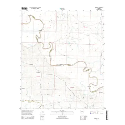 2014 Snow Hill2014 Print · USGSThe river bottoms of the Ouachita and the Smackover oil country are mapped here in the early twenty-first century. Researchers can trace the winding Ouachita River to find family-named points like English Bee Shoal, Hog Eye Shoal, and the settlement at Snow Hill.
Showing maps 1-25 of 100
Top cities of Calhoun County
Frequently asked questions
- What are the different types of historical maps available for Calhoun County?
- What is the oldest map of Calhoun County?
- Where can I purchase historical maps of Calhoun County for my home or office?
- Where can I download high-res historical maps of Calhoun County?
- Are there historical topographic maps available for Calhoun County?
- Is there historical aerial imagery available for Calhoun County?
- Where are historical maps of Calhoun County sourced from?