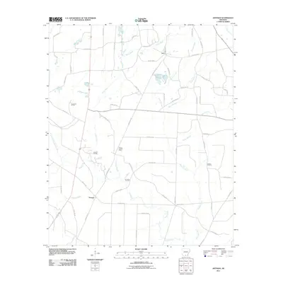
2011 Map of Artesian
USGS Topo · Published 2011About this map
The Artesian settlement and its surrounding landscape in Calhoun County are defined by a network of drainage systems and petroleum extraction. This 2011 survey illustrates a region where timber and oil drive the local geography, notably within the Artesian Oil Field and the Lloyd Creek Oil Field. The landscape is etched by numerous watercourses, including the central Hurricane Creek and its various tributaries like Hurricane Branch and Rocky Branch.
Find a feature on this map
57 named features on this map. Tap any name to fly to it.
Don’t see what you’re looking for? This feature index may not catch every label — zoom into the map to look around manually.
Map Details
Editions of this 2011 Artesian Map
This is the sole edition of this map. No revisions or reprints were ever made.
Other maps of this area

1903 · Camden
USGS Topo · 1:125,000

1934 · Moro Bay
USGS Topo · 1:62,500

1938 · Moro Bay
USGS Topo · 1:62,500

1939 · Moro Bay
USGS Topo · 1:62,500

1953 · El Dorado
USGS Topo · 1:250,000

1957 · El Dorado
USGS Topo · 1:250,000

1958 · El Dorado
USGS Topo · 1:250,000

1960 · El Dorado
USGS Topo · 1:250,000

1962 · Smackover NE
USGS Topo · 1:24,000
1962 · Calion
USGS Topo · 1:24,000