2020s Maps of Calhoun County, Arkansas
Explore 40 historic maps of Calhoun County from the 2020s. These maps offer a rare glimpse into what life looked like during the 2020s — showing old roads, neighborhoods, homes, and landmarks that have changed or disappeared over time.
Whether you're researching your family's past, planning a metal detecting trip, or studying how Calhoun County's landscape evolved across the 2020s, these high-resolution maps are a powerful tool for exploring the history of this region.
- Focus on a specific era: All maps on this page are from the 2020s, giving you a focused view of this time period.
- See what’s changed: Compare century-old streets, trails, and buildings to today's modern landscape using overlays and satellite layers.
- Research with precision: Use these maps for genealogy, historical research, land use analysis, or educational projects.
- View, download, or print: Maps are fully viewable online in high resolution, and can be downloaded or printed for your own records.
Start exploring Calhoun County's history through authentic maps from the 2020s. This is your window into the past.
Calhoun County, AR maps
(40)- 2020 Map of Woodberry, 2020 Print
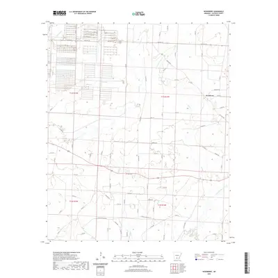 2020 Woodberry2020 Print · USGSCovers Calhoun County, including Woodberry, United States, and other nearby areas
 - 2020 Map of Smackover NE, 2020 Print
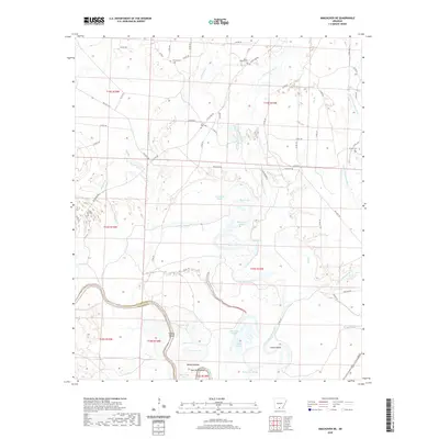 2020 Smackover NE2020 Print · USGSCovers Calhoun County, including Ouachita County, United States, and other nearby areas
 - 2020 Map of Jersey, 2020 Print
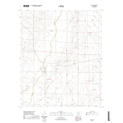 2020 Jersey2020 Print · USGSCovers Calhoun County, including Jersey, Bradley County, and other nearby areas
 - 2020 Map of Tinsman, 2020 Print
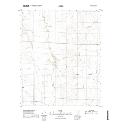 2020 Tinsman2020 Print · USGSCovers Calhoun County, including Tinsman, Ellisville, and other nearby areas
 - 2020 Map of Bearden, 2020 Print
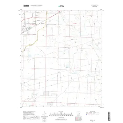 2020 Bearden2020 Print · USGSCovers Calhoun County, including Bearden, Harlow, and other nearby areas
 - 2020 Map of Hopeville, 2020 Print
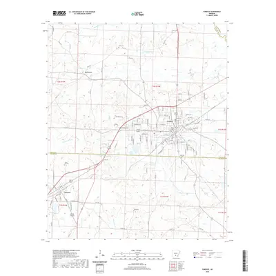
 2020 Hopeville2020 Print · USGSCovers Calhoun County, including Thornton, Little Bay, and other nearby areas
 - 2020 Map of Hampton, 2020 Print
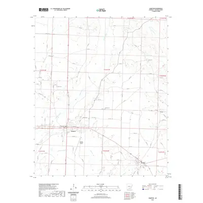 2020 Hampton2020 Print · USGSCovers Calhoun County, including Hampton, Harrell, and other nearby areas
 - 2020 Map of Fordyce, 2020 Print
 2020 Fordyce2020 Print · USGSCovers Calhoun County, including Fordyce, Thornton, and other nearby areas
 - 2020 Map of Moro Bay, 2020 Print
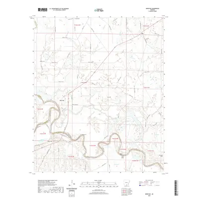 2020 Moro Bay2020 Print · USGSCovers Calhoun County, including Moro Bay, Careyville Landing, and other nearby areas
 - 2020 Map of Artesian, 2020 Print
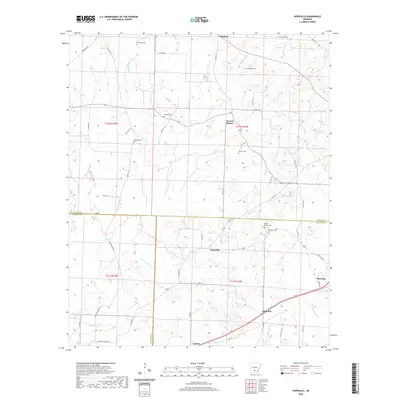
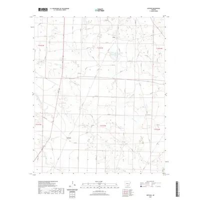 2020 Artesian2020 Print · USGSCovers Calhoun County, including Artesian, Unco, and other nearby areas
 - 2020 Map of Eagle Mills, 2020 Print
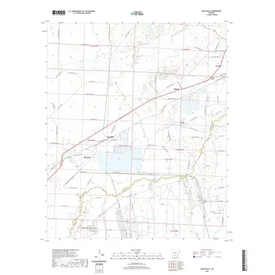 2020 Eagle Mills2020 Print · USGSCovers Calhoun County, including Bearden, Eagle Mills, and other nearby areas
 - 2020 Map of Louann, 2020 Print
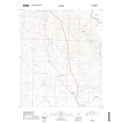 2020 Louann2020 Print · USGSCovers Calhoun County, including Louann, Kirkland, and other nearby areas
 - 2020 Map of East Camden, 2020 Print
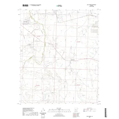 2020 East Camden2020 Print · USGSCovers Calhoun County, including East Camden, Lakeside, and other nearby areas
 - 2020 Map of Snow Hill, 2020 Print
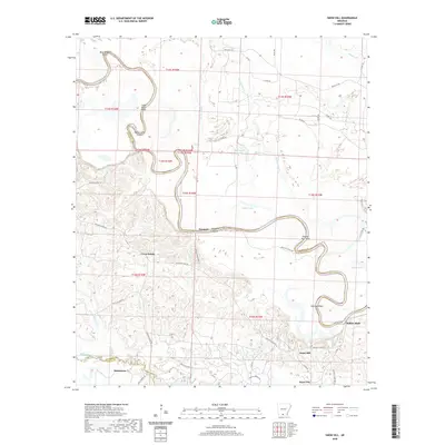 2020 Snow Hill2020 Print · USGSCovers Calhoun County, including Smackover, Millers Bluff, and other nearby areas
 - 2020 Map of Banks, 2020 Print
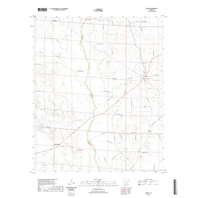 2020 Banks2020 Print · USGSCovers Calhoun County, including Banks, Tinsman, and other nearby areas
 - 2020 Map of Harrell Brake, 2020 Print
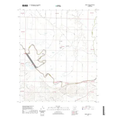 2020 Harrell Brake2020 Print · USGSCovers Calhoun County, including Union County, Bradley County, and other nearby areas
 - 2020 Map of Kingsland, 2020 Print
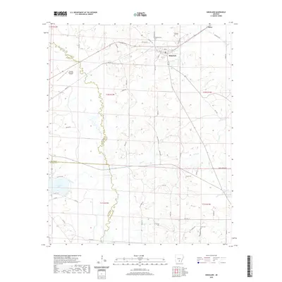 2020 Kingsland2020 Print · USGSCovers Calhoun County, including Kingsland, Saline, and other nearby areas
 - 2020 Map of Camden, 2020 Print
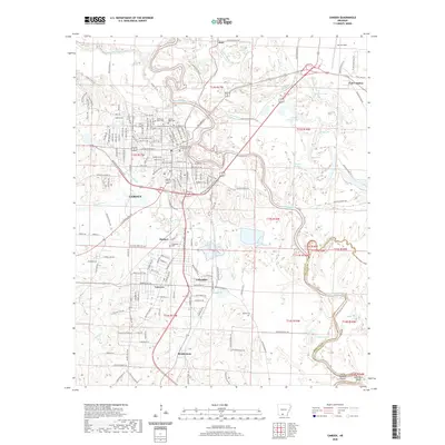 2020 Camden2020 Print · USGSCovers Calhoun County, including Camden, East Camden, and other nearby areas
 - 2020 Map of Chambersville, 2020 Print
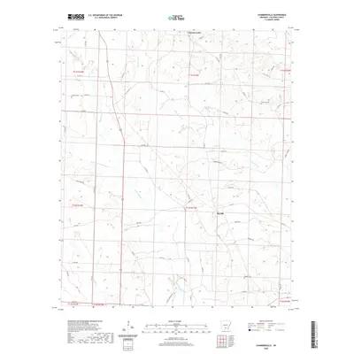 2020 Chambersville2020 Print · USGSCovers Calhoun County, including Chambersville, Big Hill, and other nearby areas
 - 2020 Map of Calion, 2020 Print
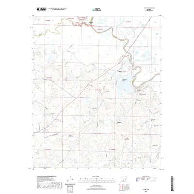 2020 Calion2020 Print · USGSCovers Calhoun County, including Calion, Ritchie, and other nearby areas
 - 2024 Map of Louann, 2024 Print
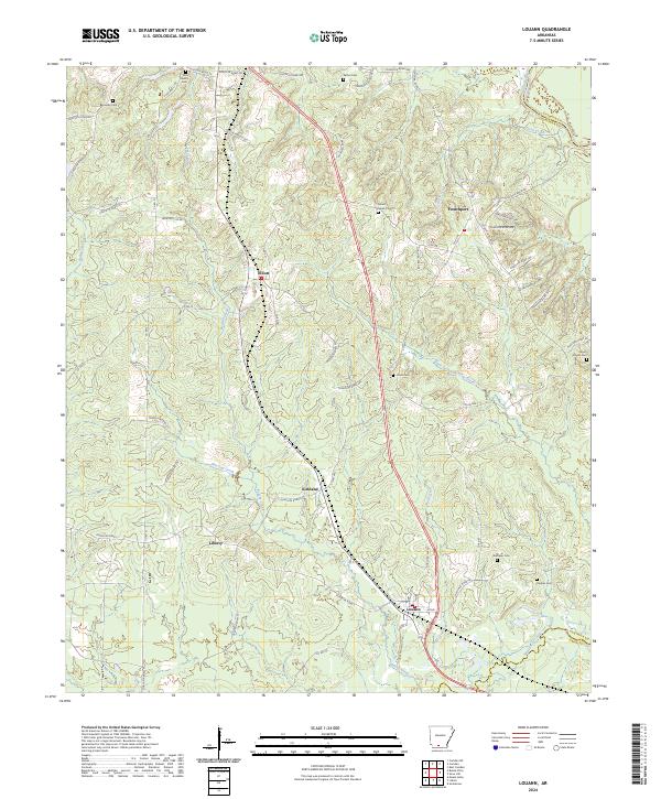 2024 Louann2024 Print · USGSSouth Arkansas rural life and small-town settlements are documented here near the junction of several creek systems. Genealogists can locate family landmarks like Old Liberty Cem, Patton Cem, and Hughes Cem near the communities of Frenchport and Kirkland.
 - 2024 Map of Woodberry, 2024 Print
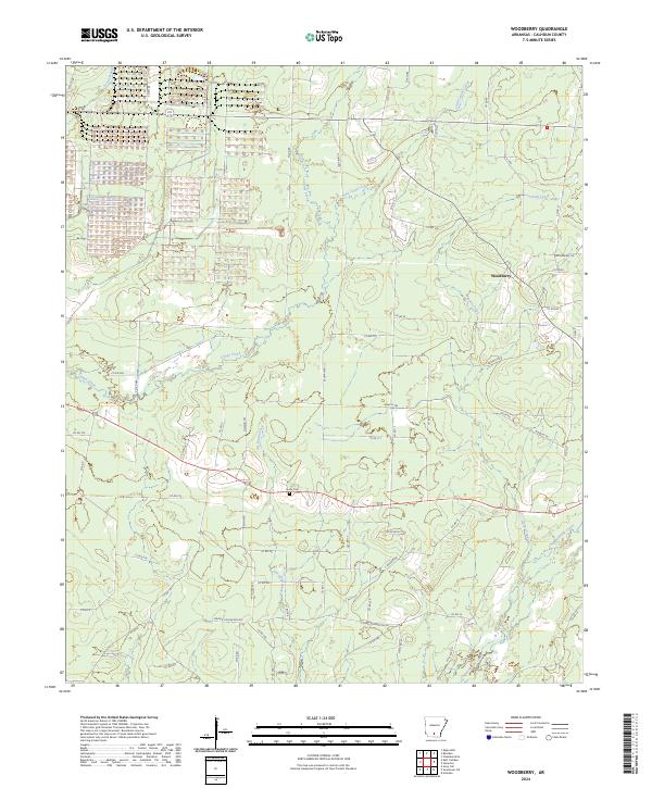 2024 Woodberry2024 Print · USGSCalhoun County's timberlands and rural crossroads are captured in this modern survey of the area surrounding Woodberry. Family historians can pinpoint Dunn Cem and trace the many local tracks like Nettles Trl that wind between Champagnolle Creek and Locust Bayou.
 - 2024 Map of Moro Bay, 2024 Print
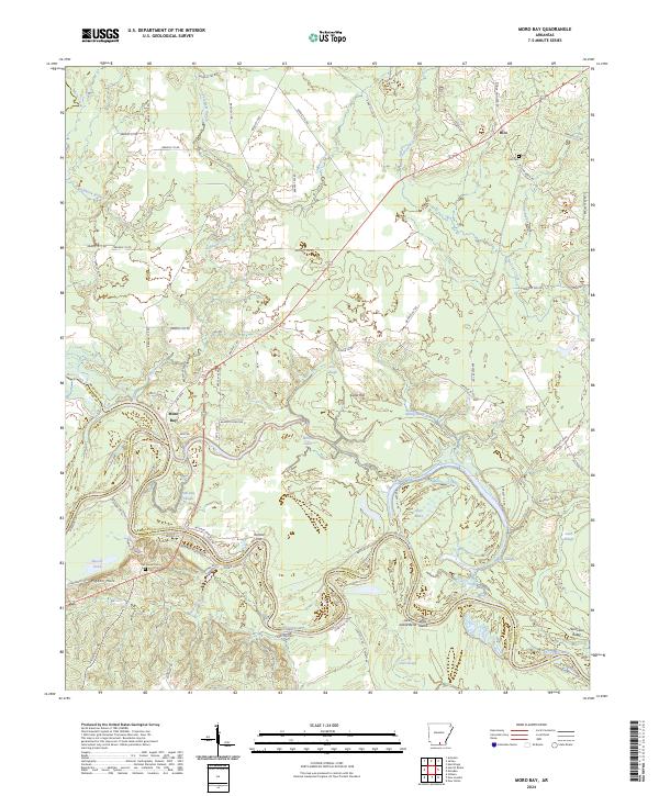 2024 Moro Bay2024 Print · USGSMoro Bay and the Ouachita River bottomlands are captured here in the contemporary era at the meeting of three counties. Genealogists and local historians can trace family sites at Hilo Cem, Oak Grove Cem, and the settlement of Hilo.
 - 2024 Map of East Camden, 2024 Print
 2024 East Camden2024 Print · USGSThe Ouachita and Calhoun county line comes alive in this modern survey of the South Arkansas timberlands. Genealogists can trace family footprints near Furr Cem and Plunkett Cem or explore the settlements of East Camden and Locust Bayou.
 - 2024 Map of Hopeville, 2024 Print
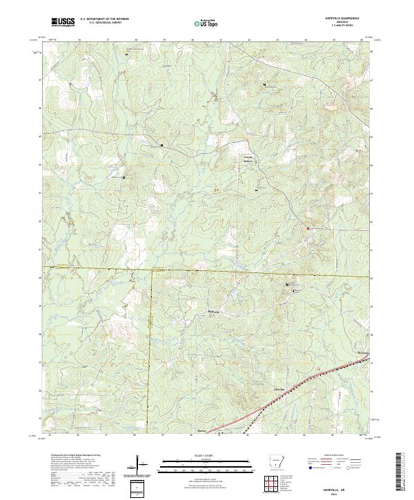 2024 Hopeville2024 Print · USGSThe rural timberlands where Dallas, Calhoun, and Ouachita counties meet are shown here in the contemporary era. Local historians can trace family roots through numerous sites like Doherty and Stevenson Cem, Hopeville, and Little Bay.
Showing maps 1-25 of 40
Top cities of Calhoun County
Frequently asked questions
- What are the different types of historical maps available for Calhoun County?
- What is the oldest map of Calhoun County?
- Where can I purchase historical maps of Calhoun County for my home or office?
- Where can I download high-res historical maps of Calhoun County?
- Are there historical topographic maps available for Calhoun County?
- Is there historical aerial imagery available for Calhoun County?
- Where are historical maps of Calhoun County sourced from?