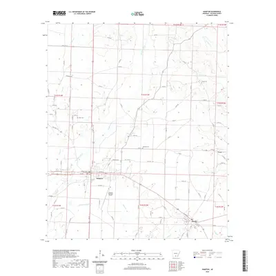
2020 Map of Hampton
USGS Topo · Published 2020About this map
Hampton serves as the focal point of this South Arkansas landscape, anchored by the Calhoun County Courthouse and a grid of streets including Main and Nettles St. The surrounding terrain is defined by an intricate network of waterways, most notably Champagnolle Cr and Little Champagnolle Cr, which drain the low-lying timberlands and meadows. To the southeast, the small settlement of Harrell sits along the roadway near Jolly Cr, while the hamlet of Cram is positioned further east. Genealogy and local history researchers will find several family and community landmarks, including Means Cem, Macedonia Cem, and Earnest Cem. The presence of the Hampton Municipal Airport south of town and the various rural roads like Woodberry Rd illustrate the modern connectivity of this primarily agricultural and forested region.
Find a feature on this map
100 named features on this map. Tap any name to fly to it.
Don’t see what you’re looking for? This feature index may not catch every label — zoom into the map to look around manually.
Map Details
Editions of this 2020 Hampton Map
This is the sole edition of this map. No revisions or reprints were ever made.
Other maps of this area

1903 · Camden
USGS Topo · 1:125,000

1934 · Moro Bay
USGS Topo · 1:62,500

1938 · Moro Bay
USGS Topo · 1:62,500

1939 · Moro Bay
USGS Topo · 1:62,500

1953 · El Dorado
USGS Topo · 1:250,000

1957 · El Dorado
USGS Topo · 1:250,000

1958 · El Dorado
USGS Topo · 1:250,000

1960 · El Dorado
USGS Topo · 1:250,000

1962 · Smackover NE
USGS Topo · 1:24,000

1964 · Smackover
USGS Topo · 1:62,500