2000s (21st Century) Maps of Columbia County, Arkansas
Explore 101 historic maps of Columbia County from the 2000s (21st Century). These maps offer a rare glimpse into what life looked like during the 2000s — showing old roads, neighborhoods, homes, and landmarks that have changed or disappeared over time.
Whether you're researching your family's past, planning a metal detecting trip, or studying how Columbia County's landscape evolved across the 2000s, these high-resolution maps are a powerful tool for exploring the history of this region.
- Focus on a specific era: All maps on this page are from the 2000s, giving you a focused view of this time period.
- See what’s changed: Compare century-old streets, trails, and buildings to today's modern landscape using overlays and satellite layers.
- Research with precision: Use these maps for genealogy, historical research, land use analysis, or educational projects.
- View, download, or print: Maps are fully viewable online in high resolution, and can be downloaded or printed for your own records.
Start exploring Columbia County's history through authentic maps from the 2000s. This is your window into the past.
Columbia County, AR maps
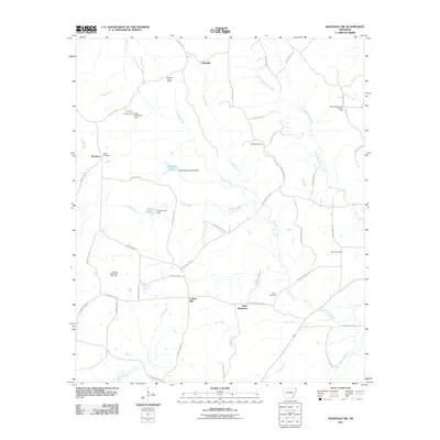
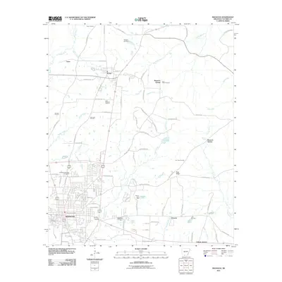
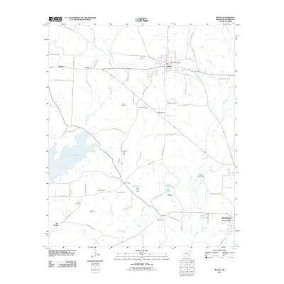
(101)- 2000 Map of Magnolia, 2002 Print
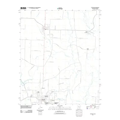
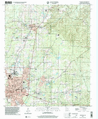 2000 Magnolia2002 Print · USGSMagnolia and the surrounding Columbia County countryside are documented here at the turn of the millennium, showing a landscape defined by higher education and the energy industry. Researchers can find Southern State College, the Louisiana and Northwest RR, and the extensive Magnolia Oil and Gas Field.
 - 2011 Map of Calhoun, 2011 Print
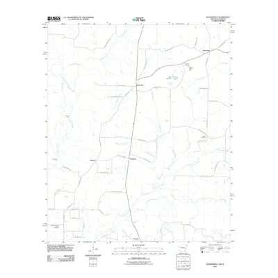
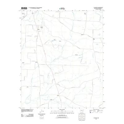 2011 Calhoun2011 Print · USGSCovers Columbia County, including Magnolia, Calhoun, and other nearby areas
 - 2011 Map of Macedonia, 2011 Print
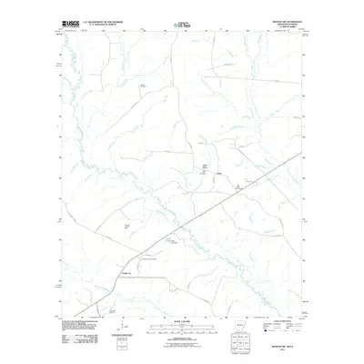
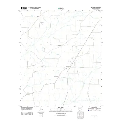 2011 Macedonia2011 Print · USGSCovers Columbia County, including Harmony, Macedonia, and other nearby areas
 - 2011 Map of Buckner, 2011 Print
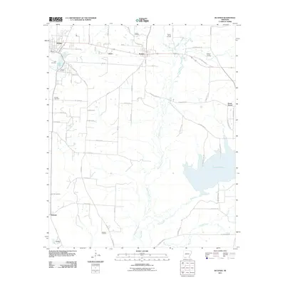 2011 Buckner2011 Print · USGSCovers Columbia County, including Stamps, Buckner, and other nearby areas
 - 2011 Map of Magnolia NW, 2011 Print
 2011 Magnolia NW2011 Print · USGSCovers Columbia County, including College Hill, Saint Matthews, and other nearby areas
 - 2011 Map of Village, 2011 Print
 2011 Village2011 Print · USGSCovers Columbia County, including Lydesdale, Snipe, and other nearby areas
 - 2011 Map of Mount Holly, 2011 Print
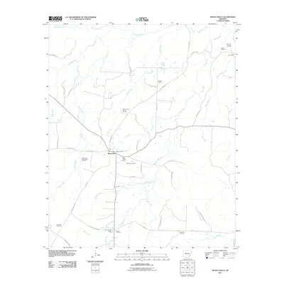 2011 Mount Holly2011 Print · USGSCovers Columbia County, including Mount Holly, Union County, and other nearby areas
 - 2011 Map of Spotville, 2011 Print
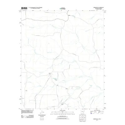
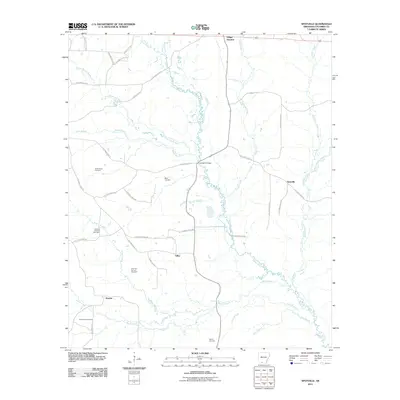 2011 Spotville2011 Print · USGSCovers Columbia County, including Talley, Spotville, and other nearby areas
 - 2011 Map of Emerson SE, 2011 Print
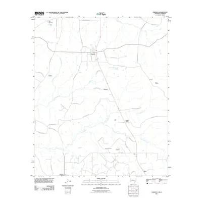
 2011 Emerson SE2011 Print · USGSCovers Columbia County, including Atlanta, Ware, and other nearby areas
 - 2011 Map of Emerson, 2011 Print
 2011 Emerson2011 Print · USGSCovers Columbia County, including Emerson, Forest Grove, and other nearby areas
 - 2011 Map of Marysville, 2011 Print
 2011 Marysville2011 Print · USGSCovers Columbia County, including Marysville, Shuler, and other nearby areas
 - 2011 Map of Taylor, 2011 Print
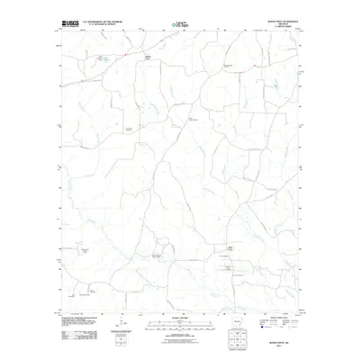
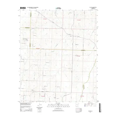
 2011 Taylor2011 Print · USGSCovers Columbia County, including Springhill, Taylor, and other nearby areas
 - 2011 Map of Walkerville, 2011 Print
 2011 Walkerville2011 Print · USGSCovers Columbia County, including Walkerville, Plainfield, and other nearby areas
 - 2011 Map of Wesson SW, 2011 Print
 2011 Wesson SW2011 Print · USGSCovers Columbia County, including Dodge City, New Hope, and other nearby areas
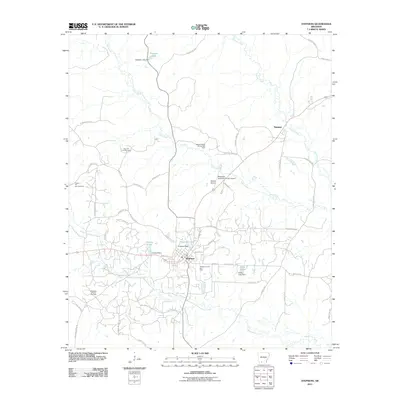
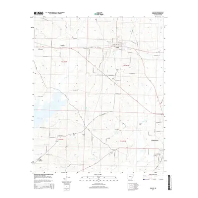
 - 2011 Map of Magnolia, 2011 Print
 2011 Magnolia2011 Print · USGSCovers Columbia County, including Magnolia, McNeil, and other nearby areas
 - 2011 Map of Stephens, 2011 Print
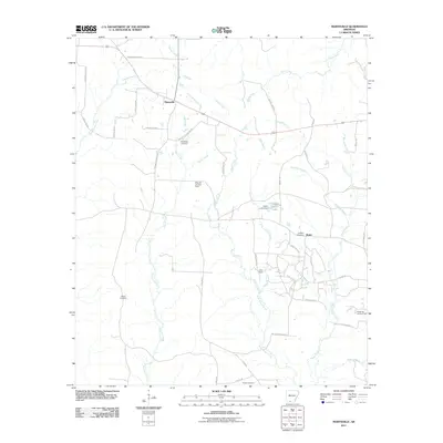
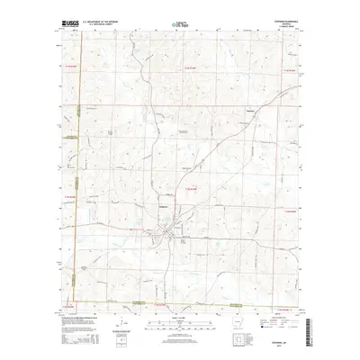
 2011 Stephens2011 Print · USGSCovers Columbia County, including Stephens, Ogemaw, and other nearby areas
 - 2011 Map of Bussey, 2011 Print
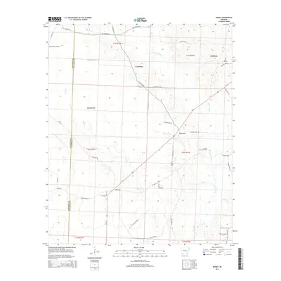
 2011 Bussey2011 Print · USGSCovers Columbia County, including Bussey, Friendship, and other nearby areas
 - 2011 Map of Waldo, 2011 Print
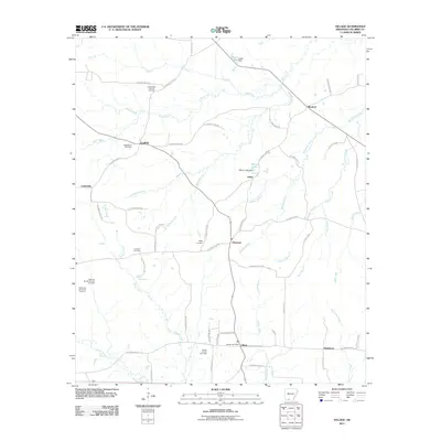
 2011 Waldo2011 Print · USGSCovers Columbia County, including Magnolia, Waldo, and other nearby areas
 - 2011 Map of Falcon, 2011 Print
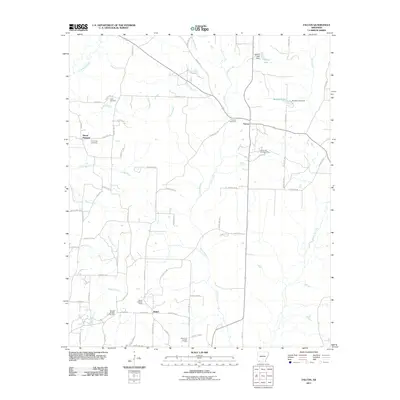 2011 Falcon2011 Print · USGSCovers Columbia County, including Shiloh, Mount Pleasant, and other nearby areas
 - 2011 Map of Lamartine, 2011 Print
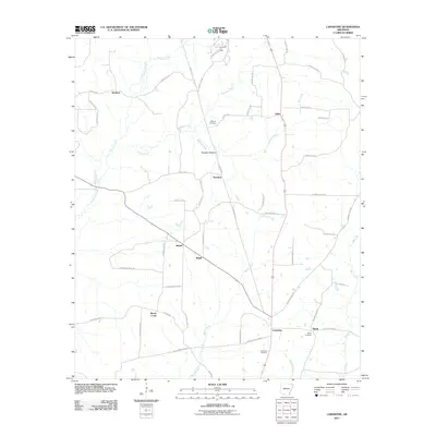 2011 Lamartine2011 Print · USGSCovers Columbia County, including Lamartine, Bethel, and other nearby areas
 - 2011 Map of Buena Vista, 2011 Print
 2011 Buena Vista2011 Print · USGSCovers Columbia County, including Buena Vista, Pace City, and other nearby areas
 - 2014 Map of Waldo, 2014 Print
 2014 Waldo2014 Print · USGSCovers Columbia County, including Magnolia, Waldo, and other nearby areas
 - 2014 Map of Falcon, 2014 Print
 2014 Falcon2014 Print · USGSCovers Columbia County, including Shiloh, Mount Pleasant, and other nearby areas
 - 2014 Map of Stephens, 2014 Print
 2014 Stephens2014 Print · USGSCovers Columbia County, including Stephens, Ogemaw, and other nearby areas
 - 2014 Map of Bussey, 2014 Print
 2014 Bussey2014 Print · USGSCovers Columbia County, including Bussey, Friendship, and other nearby areas
Showing maps 1-25 of 101
Top cities of Columbia County
- Magnolia historical maps
- Waldo historical maps
- McNeil historical maps
- Taylor historical maps
- Emerson historical maps
Frequently asked questions
- What are the different types of historical maps available for Columbia County?
- What is the oldest map of Columbia County?
- Where can I purchase historical maps of Columbia County for my home or office?
- Where can I download high-res historical maps of Columbia County?
- Are there historical topographic maps available for Columbia County?
- Is there historical aerial imagery available for Columbia County?
- Where are historical maps of Columbia County sourced from?