2010s Maps of Columbia County, Arkansas
Explore 60 historic maps of Columbia County from the 2010s. These maps offer a rare glimpse into what life looked like during the 2010s — showing old roads, neighborhoods, homes, and landmarks that have changed or disappeared over time.
Whether you're researching your family's past, planning a metal detecting trip, or studying how Columbia County's landscape evolved across the 2010s, these high-resolution maps are a powerful tool for exploring the history of this region.
- Focus on a specific era: All maps on this page are from the 2010s, giving you a focused view of this time period.
- See what’s changed: Compare century-old streets, trails, and buildings to today's modern landscape using overlays and satellite layers.
- Research with precision: Use these maps for genealogy, historical research, land use analysis, or educational projects.
- View, download, or print: Maps are fully viewable online in high resolution, and can be downloaded or printed for your own records.
Start exploring Columbia County's history through authentic maps from the 2010s. This is your window into the past.
Columbia County, AR maps
(60)- 2011 Map of Calhoun, 2011 Print
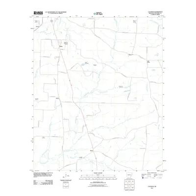 2011 Calhoun2011 Print · USGSColumbia County at the start of the 2010s shows a landscape where industrial energy extraction meets rural Arkansas life. Genealogists and historians can trace local landmarks like Kings Hill Cemetery, the community of Brister, and the Magnolia Oil and Gas Field.
 - 2011 Map of Macedonia, 2011 Print
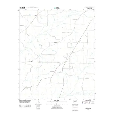 2011 Macedonia2011 Print · USGSColumbia County, Arkansas, remains a landscape of quiet rural settlements and active energy production in the early twenty-first century. Genealogists and local historians can trace family roots through Macedonia Cemetery and the crossroads at Philadelphia and Harmony.
 - 2011 Map of Buckner, 2011 Print
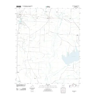 2011 Buckner2011 Print · USGSLafayette County enters the second decade of the new millennium as a landscape shaped by petroleum and winding waterways. Genealogists and local historians can locate several family burial sites, including Mount Zion Cemetery, or trace the development around the Buckner Oil and Gas Field and Lake Columbia.
 - 2011 Map of Magnolia NW, 2011 Print
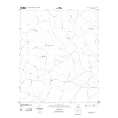 2011 Magnolia NW2011 Print · USGSColumbia County at the start of the 2010s was a landscape defined by oil fields and timbered creek bottoms. Researchers can trace family history through sites like Watts Cemetery and the Glenville Lookout Tower or locate the North Stephens Oil and Gas Field.
 - 2011 Map of Village, 2011 Print
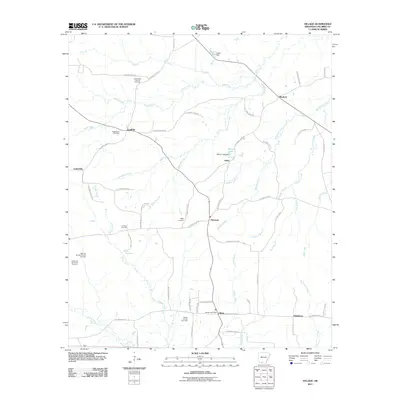 2011 Village2011 Print · USGSColumbia County at the start of the 2010s was a landscape shaped by rural settlements and active energy production. Researchers can trace family roots at Macedonia Cemetery or explore the reach of the Village Oil and Gas Field near Lydesdale.
 - 2011 Map of Mount Holly, 2011 Print
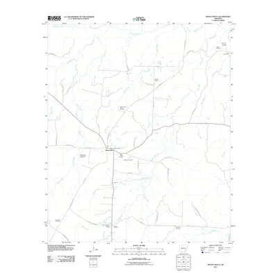 2011 Mount Holly2011 Print · USGSThe rural landscapes of Union County are captured here in the early twenty-first century, centered on the community of Mount Holly. Genealogists and researchers can trace local family histories through numerous burial sites like Watson Cemetery, Silver Hill Cemetery, and Big Hickory Cemetery.
 - 2011 Map of Spotville, 2011 Print
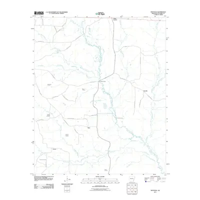 2011 Spotville2011 Print · USGSColumbia County’s rural landscape in the early twenty-first century is defined by the winding Cornie Bayou and established oil fields. Researchers can locate family landmarks like Saint Marks Cemetery and the small settlements of Spotville and Talley.
 - 2011 Map of Emerson SE, 2011 Print
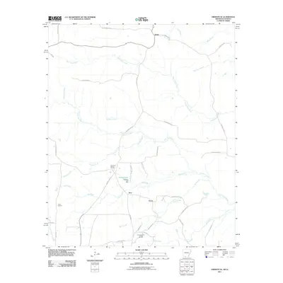 2011 Emerson SE2011 Print · USGSThe rural borderlands of Arkansas and Louisiana appear in this 2011 survey as a landscape of bayous and energy production. Researchers can trace family history at Chalybeate Springs Cemetery or locate the industrial borders of the East Haynesville Oil and Gas Field.
 - 2011 Map of Emerson, 2011 Print
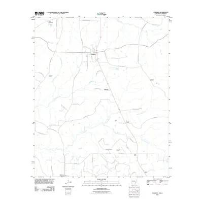 2011 Emerson2011 Print · USGSThe Arkansas-Louisiana borderlands in the early 21st century are defined by timber, water, and the enduring presence of the oil industry. Trace the rural landscape through family landmarks like Anderson Cemetery and the industrial corridors of the Horsehead Oil Field.
 - 2011 Map of Marysville, 2011 Print
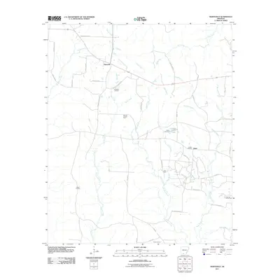 2011 Marysville2011 Print · USGSThe oil-rich landscape of Union County is captured here in the early twenty-first century, showing a mix of rural settlements and active industrial fields. Genealogists and local historians can trace the locations of Marysville Cemetery, the Wilks Oil and Gas Field, and Shuler.
 - 2011 Map of Taylor, 2011 Print
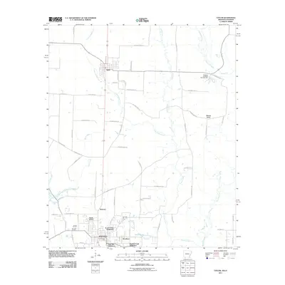 2011 Taylor2011 Print · USGSThe Arkansas and Louisiana borderlands meet in the early twenty-first century as the industrial activity of Springhill extends toward the rural settlement of Taylor. Researchers can trace the layout of the Springhill Oil Field, local family sites at Boucher Cemetery, and the wetlands of Bayou Dorcheat.
 - 2011 Map of Walkerville, 2011 Print
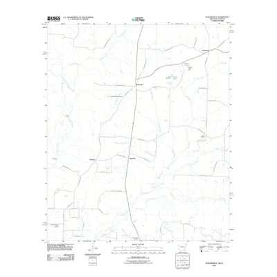 2011 Walkerville2011 Print · USGSThe Arkansas-Louisiana state line area near Columbia County is captured here in the early twenty-first century. Genealogists can trace family names at the Stewart-Walkerville Cemetery or explore landmarks like Lecroys Ford and the North Shongaloo Oil and Gas Field.
 - 2011 Map of Wesson SW, 2011 Print
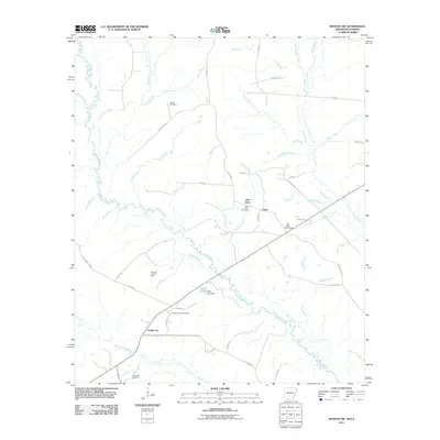 2011 Wesson SW2011 Print · USGSThe Arkansas-Louisiana borderlands come into focus in the early twenty-first century, showing a landscape shaped by petroleum and timber. Genealogists and historians can trace local family landmarks like Salem Cemetery or locate industrial sites such as the Tubal Oil and Gas Field.
 - 2011 Map of Magnolia, 2011 Print
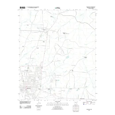 2011 Magnolia2011 Print · USGSMagnolia and the surrounding Columbia County timberlands are shown here in the early twenty-first century as the city expands around the university campus. Genealogists can trace family sites at Saint Matthews Cemetery, Hartsfield Cemetery, and the historic settlement of McNeil.
 - 2011 Map of Stephens, 2011 Print
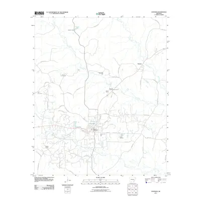 2011 Stephens2011 Print · USGSStephens and Ogemaw anchor this southern Arkansas landscape during a period of steady energy production and local aviation growth. Researchers can trace the extensive footprints of the Stephens Oil and Gas Field and landmarks like Graysons Lake.
 - 2011 Map of Bussey, 2011 Print
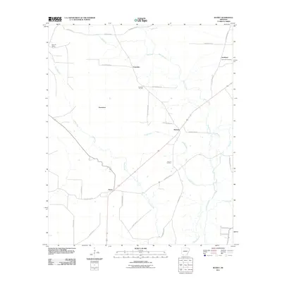 2011 Bussey2011 Print · USGSColumbia County’s rural landscape is captured here in the early twenty-first century, showing a network of small settlements and oil infrastructure. Genealogists can locate family landmarks at Friendship Cemetery, Sharman, and the McKamie Patton Oil Field.
 - 2011 Map of Waldo, 2011 Print
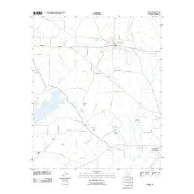 2011 Waldo2011 Print · USGSColumbia County at the start of the 2010s reveals a landscape of timber, oil, and deep-rooted family history. Genealogists can trace numerous burial sites including Antioch and Rudd Cemetery, alongside industrial landmarks like the Big Creek Oil and Gas Field.
 - 2011 Map of Falcon, 2011 Print
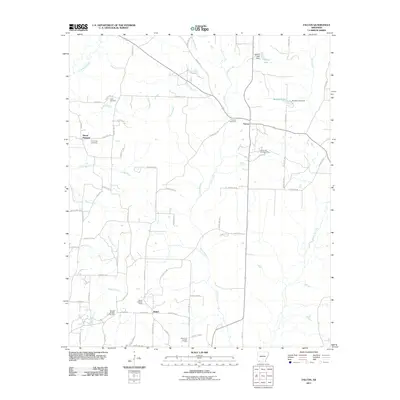 2011 Falcon2011 Print · USGSShiloh and Falcon are depicted here in the early twenty-first century as centers of Arkansas oil and gas production. Genealogists and researchers can trace family landmarks like Clark Cemetery, Cummings Cemetery, and the Shiloh Lookout Tower.
 - 2011 Map of Lamartine, 2011 Print
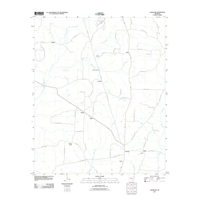 2011 Lamartine2011 Print · USGSColumbia County is shown during a period of steady rural character, where small settlements like Stockton and Bethel anchor the landscape. Researchers can trace family sites near Shiloh Cemetery or explore the reach of the Willisville Oil Field.
 - 2011 Map of Buena Vista, 2011 Print
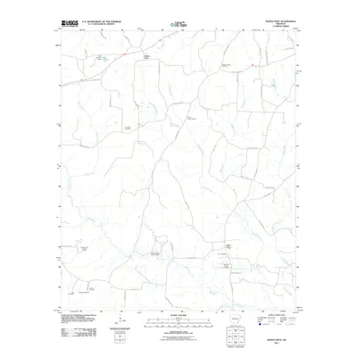 2011 Buena Vista2011 Print · USGSSouthern Ouachita County enters the twenty-first century with a landscape defined by traditional rural settlements and the petroleum industry. Researchers can trace family history through numerous burial sites like Whitefield Cemetery or explore the extent of the Gum Creek Oil and Gas Field.
 - 2014 Map of Waldo, 2014 Print
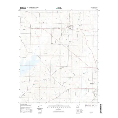 2014 Waldo2014 Print · USGSWaldo and the northern reaches of Magnolia are captured here during a period of modern industrial and residential growth. Genealogists can locate family burial sites at Antioch Cem and Scott Cem, or trace the extent of the Big Creek Oil and Gas Field.
 - 2014 Map of Falcon, 2014 Print
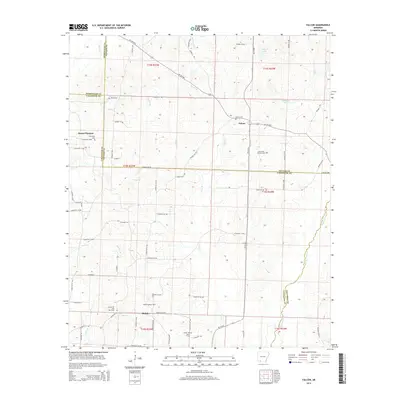 2014 Falcon2014 Print · USGSSouthern Arkansas timber and oil country comes into focus in this recent survey of the Four-County border region. Genealogists and local historians can trace family ties through Clark Cem and Falcon Cem, or locate landmarks like the Shiloh Lookout Tower and Falcon Oil and Gas Field.
 - 2014 Map of Stephens, 2014 Print
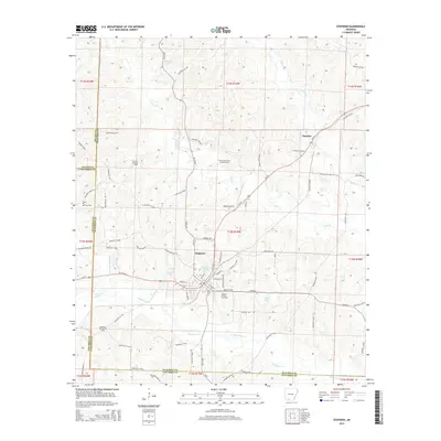 2014 Stephens2014 Print · USGSThe oil-rich landscape of southern Arkansas is captured here in the early twenty-first century, centered on the intersection of industry and rural life. Genealogists and historians can trace the roads around Stephens and Ogemaw or locate industrial sites like the Stephens Oil and Gas Field and Wilson Airport.
 - 2014 Map of Bussey, 2014 Print
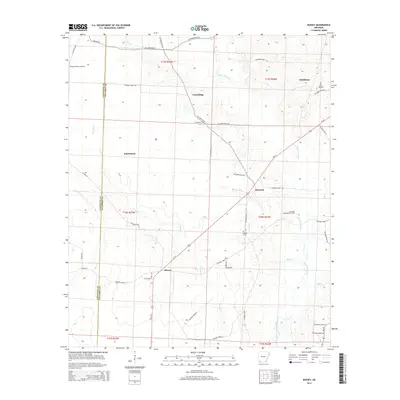 2014 Bussey2014 Print · USGSColumbia County's rural oil-producing landscape is captured here in the early 21st century, showing the intersection of industry and community. Genealogists can trace family landmarks like Rocky Mt Cem and early settlements including Experiment, Sharman, and Friendship.
 - 2014 Map of Emerson SE, 2014 Print
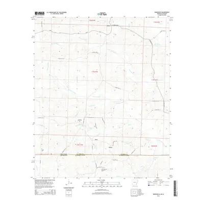 2014 Emerson SE2014 Print · USGSCrossing the state line into Louisiana at the start of the 2010s, this area reveals a landscape of oil extraction and rural crossroads. Genealogists can trace family connections at Chalybeate Springs Cem and Traylor Cem near the East Haynesville Oil and Gas Field.
Showing maps 1-25 of 60
Top cities of Columbia County
- Magnolia historical maps
- Waldo historical maps
- McNeil historical maps
- Taylor historical maps
- Emerson historical maps
Frequently asked questions
- What are the different types of historical maps available for Columbia County?
- What is the oldest map of Columbia County?
- Where can I purchase historical maps of Columbia County for my home or office?
- Where can I download high-res historical maps of Columbia County?
- Are there historical topographic maps available for Columbia County?
- Is there historical aerial imagery available for Columbia County?
- Where are historical maps of Columbia County sourced from?