2010s Maps of Crawford County, Arkansas
Explore 60 historic maps of Crawford County from the 2010s. These maps offer a rare glimpse into what life looked like during the 2010s — showing old roads, neighborhoods, homes, and landmarks that have changed or disappeared over time.
Whether you're researching your family's past, planning a metal detecting trip, or studying how Crawford County's landscape evolved across the 2010s, these high-resolution maps are a powerful tool for exploring the history of this region.
- Focus on a specific era: All maps on this page are from the 2010s, giving you a focused view of this time period.
- See what’s changed: Compare century-old streets, trails, and buildings to today's modern landscape using overlays and satellite layers.
- Research with precision: Use these maps for genealogy, historical research, land use analysis, or educational projects.
- View, download, or print: Maps are fully viewable online in high resolution, and can be downloaded or printed for your own records.
Start exploring Crawford County's history through authentic maps from the 2010s. This is your window into the past.
Crawford County, AR maps
(60)- 2011 Map of Mountainburg SW, 2011 Print
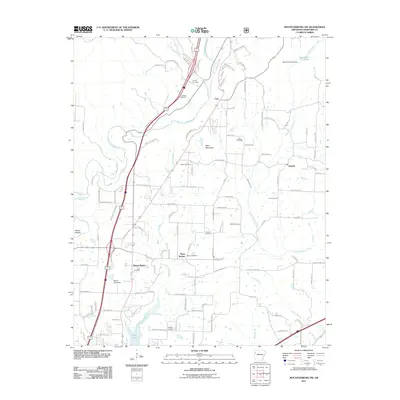 2011 Mountainburg SW2011 Print · USGSNorth of Alma in the early twenty-first century, this landscape shows a community shaped by its waterways and mountain ridges. Researchers can trace family history through numerous rural burial grounds like Peters Cemetery and Bolton Cemetery or locate the site of Deans Market.
 - 2011 Map of Natural Dam, 2011 Print
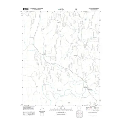 2011 Natural Dam2011 Print · USGSThe Arkansas-Oklahoma borderlands appear here in the early twenty-first century, showing the rural communities of Davidson and Liberty Hill. Researchers can trace local lineage at Bateman Cemetery or locate the crossing at Lee Creek Bridge.
 - 2011 Map of Winslow, 2011 Print
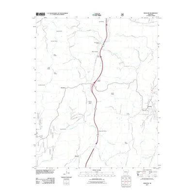 2011 Winslow2011 Print · USGSThe hill country of Washington County comes into focus in the early twenty-first century, showing the enduring paths of the rail and river. Genealogists and local historians can trace family burial sites at Kelton Cemetery or Collier Cemetery and locate rural hubs like Blackburn.
 - 2011 Map of Van Buren, 2011 Print
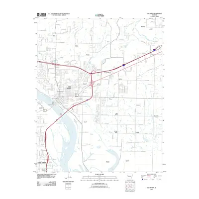 2011 Van Buren2011 Print · USGSThe Arkansas River corridor near the Oklahoma border is shown here during a period of modern expansion. Researchers can trace family history through numerous sites like Old Concord Cemetery or locate the Shibley Gas Field and Twin City Airport.
 - 2011 Map of Rudy, 2011 Print
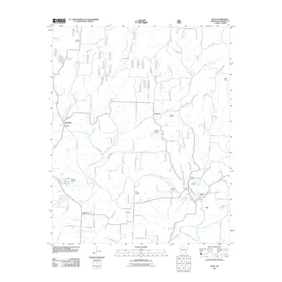 2011 Rudy2011 Print · USGSCrawford County settlements and the winding Frog Bayou define this Arkansas landscape in the early 2000s. Genealogists and local historians can trace family roots through numerous sites like Winfrey Cemetery, Kenner Chapel, and the community of Oliver Springs.
 - 2011 Map of Barling, 2011 Print
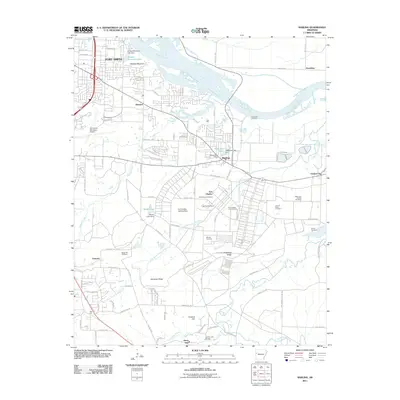 2011 Barling2011 Print · USGSThe military expansion at Fort Chaffee meets the residential growth of southeastern Fort Smith in the early twenty-first century. Genealogists can locate family burial grounds like Wisely Cemetery and Steep Hill Cemetery while tracing the waters of Vache Grasse Creek.
 - 2011 Map of Uniontown, 2011 Print
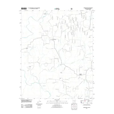 2011 Uniontown2011 Print · USGSThe Arkansas-Oklahoma borderlands come alive in this 2011 portrait of Crawford County’s rural highlands and winding creek valleys. Genealogists can trace family connections through numerous sites like Macedonia Cemetery, Salem Cemetery, and the Uniontown Post Office.
 - 2011 Map of Mountainburg, 2011 Print
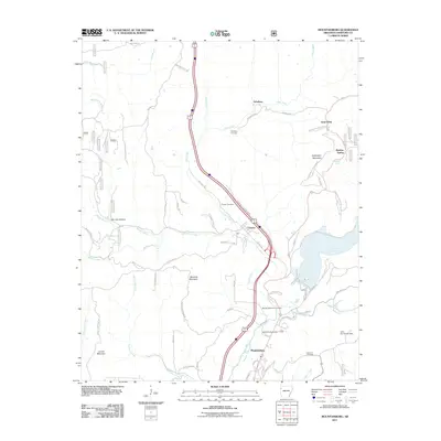 2011 Mountainburg2011 Print · USGSNorthwest Arkansas during the early twenty-first century shows a landscape where mountain ridges and creek valleys dictate the layout of small communities. Researchers can trace family history at Schaberg Cemetery or explore the geography of Frog Bayou and Artist Point.
 - 2011 Map of Strickler, 2011 Print
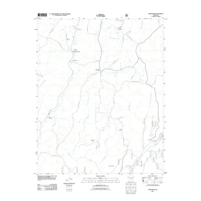 2011 Strickler2011 Print · USGSWashington County at the start of the 2010s reveals a landscape of isolated settlements and high ridges shaped by the Illinois River. Genealogists can trace family roots through several local burial grounds, including the Morrow Cemetery, Dunkard Cemetery, and Baker Cemetery.
 - 2011 Map of Lavaca, 2011 Print
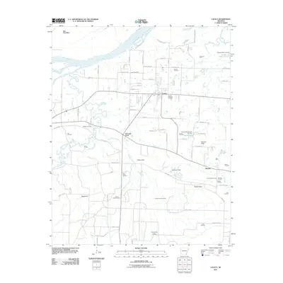 2011 Lavaca2011 Print · USGSThe Arkansas River valley comes into focus in the early 2010s, centered on the energy fields and rural cemeteries of Sebastian County. Researchers can trace family history at Red Oak Cemetery or Mayberry Cemetery and locate vanished landmarks near Diamond Grove and Biswell Hill.
 - 2011 Map of Evansville, 2011 Print
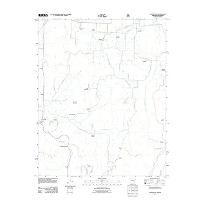 2011 Evansville2011 Print · USGSSettled along the Arkansas-Oklahoma border in the early twenty-first century, this area shows a landscape of ridges and deep hollows. Genealogists can trace family footprints across several rural burial grounds like Academy Cemetery, Cox Cemetery, and Dunagan Cemetery.
 - 2011 Map of Mulberry, 2011 Print
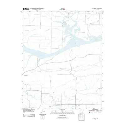 2011 Mulberry2011 Print · USGSCrawford County at the start of the 2010s shows a landscape shaped by its river systems and rural crossroads. Local researchers can trace family roots through numerous sites like Tate Cemetery, Riverdale, and the namesake Mulberry River valley.
 - 2011 Map of Alma, 2011 Print
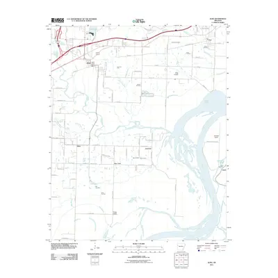 2011 Alma2011 Print · USGSCrawford County's river-bottom lands and gas fields are mapped here during the early twenty-first century as the suburbs of Alma expand. Genealogists can locate numerous burial grounds including Twelve Corner Cemetery, Nelson Cemetery, and Real Cemetery while tracing the winding path of Frog Bayou.
 - 2011 Map of Delaney, 2011 Print
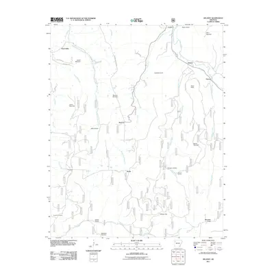 2011 Delaney2011 Print · USGSMadison County's highland river valleys are captured here in the early twenty-first century as they appeared before recent development. Researchers can trace family history through local landmarks like Temple Hill Cemetery and the settlements of Hazel Valley and Patrick.
 - 2011 Map of Bidville, 2011 Print
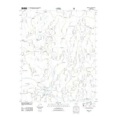 2011 Bidville2011 Print · USGSBidville and the surrounding Ozark ridges are shown here in the early twenty-first century, before many of these rural paths were modernized. Genealogists can locate family burial grounds at Bidville Cemetery and Brewer Cemetery, or trace old routes past Milton Ford and the Paradise Gas Field.
 - 2011 Map of Fern, 2011 Print
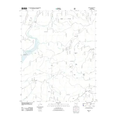 2011 Fern2011 Print · USGSThe rural uplands of Franklin County come to life in this recent topographic survey of the Arkansas Ozarks. Genealogists and local historians can trace family connections at Pense Cemetery or explore landmarks like Government Knob and The Narrows.
 - 2011 Map of Rudy NE, 2011 Print
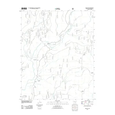 2011 Rudy NE2011 Print · USGSCrawford County's mountainous terrain comes into focus in the early twenty-first century as it follows the winding path of Lee Creek. Researchers can locate family landmarks like Bryant Cemetery or trace the old routes along Old 12 Cross Roads and up to Kimes Mountain.
 - 2011 Map of Brentwood, 2011 Print
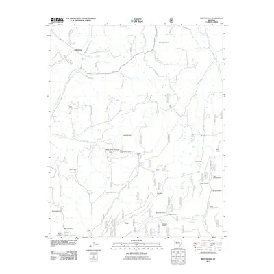 2011 Brentwood2011 Print · USGSUpper White River country and the Ozark highlands are captured here in the early twenty-first century. Researchers can locate family landmarks like Parks Cemetery and Skelton Hollow, or trace the old roads connecting Brentwood and Mount Gaylor.
 - 2011 Map of Mountainburg SE, 2011 Print
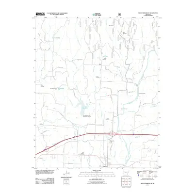 2011 Mountainburg SE2011 Print · USGSThe river valley near Mulberry is documented here during a period of modern growth and infrastructure development. Researchers can trace numerous family burial sites, including Quesenbury Cemetery, or locate historical river crossings like Queensbury Ford.
 - 2011 Map of Fort Smith, 2011 Print
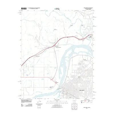 2011 Fort Smith2011 Print · USGSFort Smith and its neighboring river towns are captured in the early 2010s at the historic confluence of the Arkansas and Poteau rivers. Genealogists and local historians can locate family sites at Peevyhouse Cemetery, trace the Trail of Tears National Historic Trail Overlook, or study the layout of Moffett.
 - 2014 Map of Mountainburg, 2014 Print
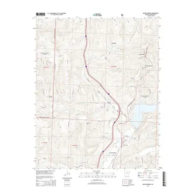 2014 Mountainburg2014 Print · USGSThe southern Boston Mountains come into focus in the early 21st century, centered on the historic communities of Mountainburg and Chester. Researchers can locate several burial grounds including Basham Memorial Cem and find landmarks like Maddux Spring and Artist Point.
 - 2014 Map of Van Buren, 2014 Print
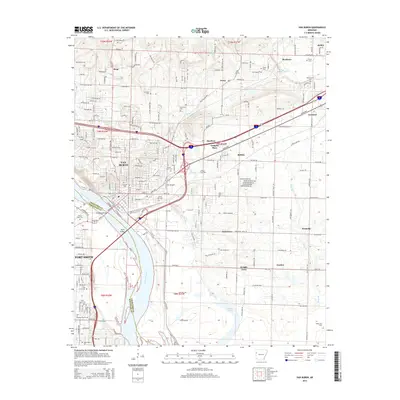 2014 Van Buren2014 Print · USGSThe riverfront communities of Van Buren and Fort Smith are shown in detail during their recent period of expansion. Genealogists can trace family sites at Fairview Cem and Rose Lawn Cem, while local historians can locate the Shibley Gas Field.
 - 2014 Map of Brentwood, 2014 Print
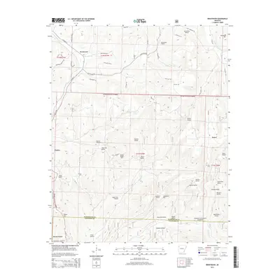 2014 Brentwood2014 Print · USGSThe Boston Mountains of Arkansas are shown here in the mid-2010s, centered on the high terrain of the Ozarks. Researchers can locate family landmarks like Parks Cem, the Mount Gaylor Lookout Tower, and the settlements of Winslow and Brentwood.
 - 2014 Map of Barling, 2014 Print
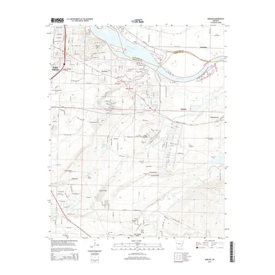 2014 Barling2014 Print · USGSFort Smith and Barling are shown here as they appeared in the early 2010s, defined by the Arkansas River and the military landscape of Fort Chaffee. Genealogists can locate several local burial sites like Barling Cem and Mc Coy Cem or trace landmarks such as the Jenny Lind Bridge.
 - 2014 Map of Winslow, 2014 Print
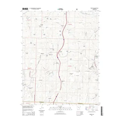 2014 Winslow2014 Print · USGSWinslow and the southern Boston Mountains are shown in detail as they appeared in 2014, highlighting the transition between Washington and Crawford counties. Researchers can locate family landmarks such as Collier Cem, Kelton Cem, and the high peak of Gaylor Mtn.
Showing maps 1-25 of 60
Top cities of Crawford County
- Van Buren historical maps
- Alma historical maps
- Mulberry historical maps
- Cedarville historical maps
- Kibler historical maps
- Dyer historical maps
See more
Frequently asked questions
- What are the different types of historical maps available for Crawford County?
- What is the oldest map of Crawford County?
- Where can I purchase historical maps of Crawford County for my home or office?
- Where can I download high-res historical maps of Crawford County?
- Are there historical topographic maps available for Crawford County?
- Is there historical aerial imagery available for Crawford County?
- Where are historical maps of Crawford County sourced from?