2000s (21st Century) Maps of Greene County, Arkansas
Explore 98 historic maps of Greene County from the 2000s (21st Century). These maps offer a rare glimpse into what life looked like during the 2000s — showing old roads, neighborhoods, homes, and landmarks that have changed or disappeared over time.
Whether you're researching your family's past, planning a metal detecting trip, or studying how Greene County's landscape evolved across the 2000s, these high-resolution maps are a powerful tool for exploring the history of this region.
- Focus on a specific era: All maps on this page are from the 2000s, giving you a focused view of this time period.
- See what’s changed: Compare century-old streets, trails, and buildings to today's modern landscape using overlays and satellite layers.
- Research with precision: Use these maps for genealogy, historical research, land use analysis, or educational projects.
- View, download, or print: Maps are fully viewable online in high resolution, and can be downloaded or printed for your own records.
Start exploring Greene County's history through authentic maps from the 2000s. This is your window into the past.
Greene County, AR maps
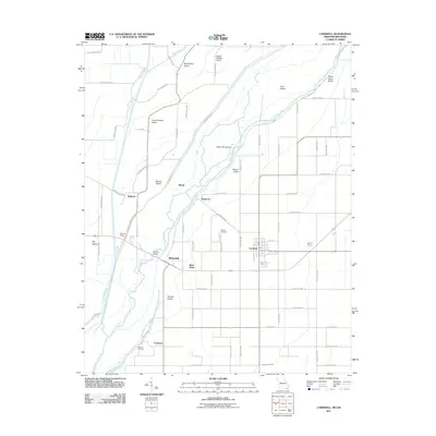
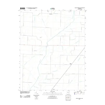
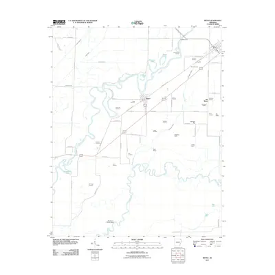
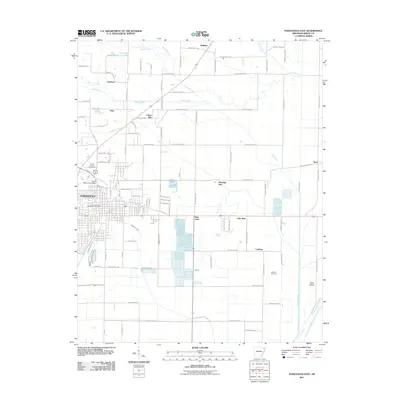
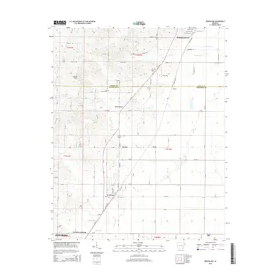
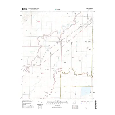
(98)- 2011 Map of Bono, 2011 Print
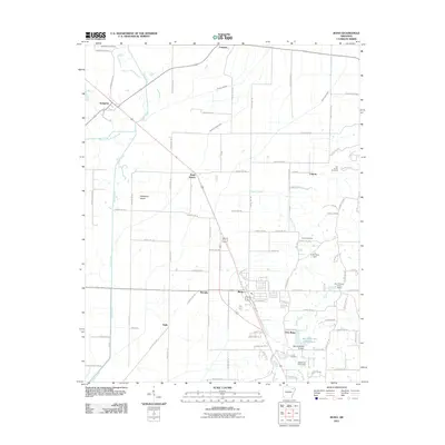 2011 Bono2011 Print · USGSCovers Greene County, including Bono, Sedgwick, and other nearby areas
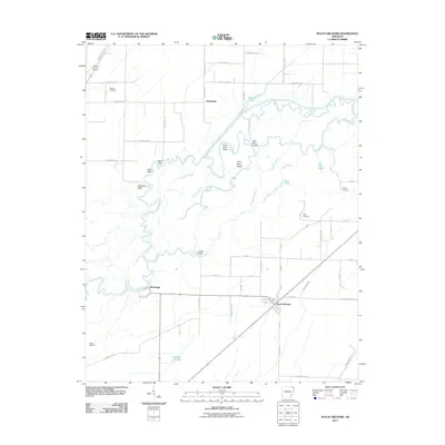
 - 2011 Map of Dixie, 2011 Print
 2011 Dixie2011 Print · USGSCovers Greene County, including Lester, Upper Poplar Ridge, and other nearby areas
 - 2011 Map of Lorado, 2011 Print
 2011 Lorado2011 Print · USGSCovers Greene County, including Jonesboro, Philadelphia, and other nearby areas
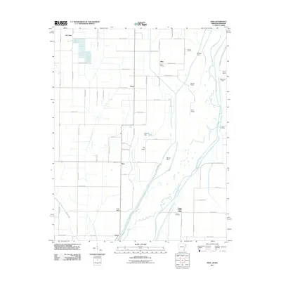
 - 2011 Map of Delaplaine, 2011 Print
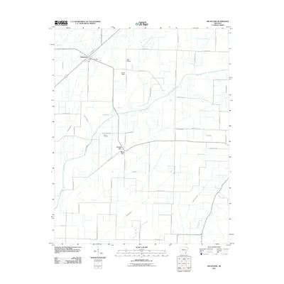 2011 Delaplaine2011 Print · USGSCovers Greene County, including Delaplaine, Evening Star, and other nearby areas
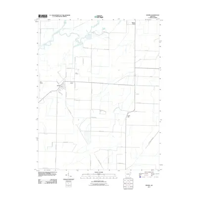
 - 2011 Map of Cardwell, 2011 Print
 2011 Cardwell2011 Print · USGSCovers Greene County, including Cardwell, Arbyrd, and other nearby areas2 unique versions available
 - 2011 Map of Mounds, 2011 Print
 2011 Mounds2011 Print · USGSCovers Greene County, including Marmaduke, Mounds, and other nearby areas
 - 2011 Map of Rector, 2011 Print
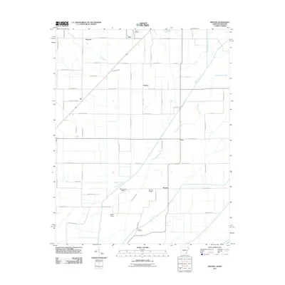
 2011 Rector2011 Print · USGSCovers Greene County, including Rector, Pratt, and other nearby areas
 - 2011 Map of Lafe, 2011 Print
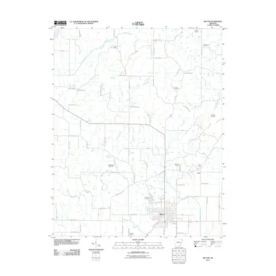
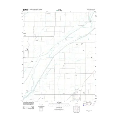
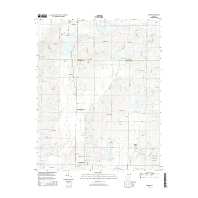
 2011 Lafe2011 Print · USGSCovers Greene County, including Oak Grove Heights, Lafe, and other nearby areas
 - 2011 Map of Walnut Ridge SE, 2011 Print
 2011 Walnut Ridge SE2011 Print · USGSCovers Greene County, including Fontaine, Whiskerville, and other nearby areas
 - 2011 Map of Boydsville, 2011 Print
 2011 Boydsville2011 Print · USGSCovers Greene County, including Knob, Boydsville, and other nearby areas
 - 2011 Map of Peach Orchard, 2011 Print
 2011 Peach Orchard2011 Print · USGSCovers Greene County, including Reyno, Peach Orchard, and other nearby areas
 - 2011 Map of Senath, 2011 Print
 2011 Senath2011 Print · USGSCovers Greene County, including Senath, Mitchell Mill, and other nearby areas2 unique versions available
 - 2011 Map of Reyno, 2011 Print
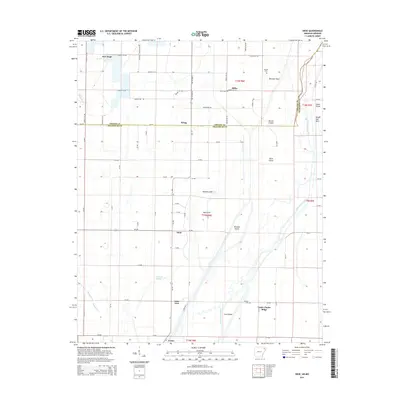
 2011 Reyno2011 Print · USGSCovers Greene County, including Reyno, Biggers, and other nearby areas
 - 2011 Map of Brookland, 2011 Print
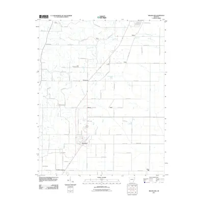 2011 Brookland2011 Print · USGSCovers Greene County, including Jonesboro, Paragould, and other nearby areas
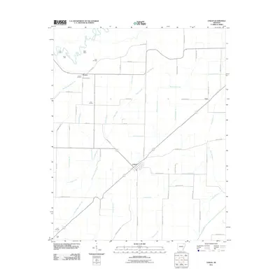
 - 2011 Map of Knobel, 2011 Print
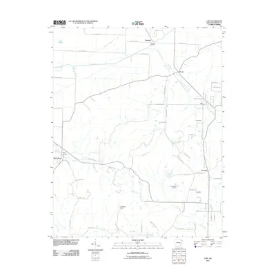
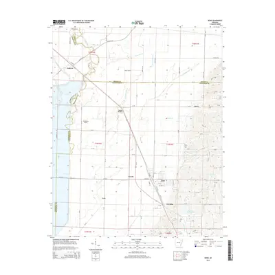
 2011 Knobel2011 Print · USGSCovers Greene County, including Knobel, Cache Lake, and other nearby areas
 - 2011 Map of O'Kean, 2011 Print
 2011 O'Kean2011 Print · USGSCovers Greene County, including O'Kean, Case, and other nearby areas
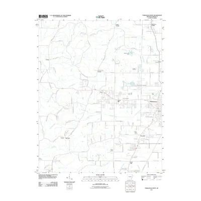
 - 2011 Map of Paragould East, 2011 Print
 2011 Paragould East2011 Print · USGSCovers Greene County, including Paragould, Oak Grove Heights, and other nearby areas
 - 2011 Map of Marmaduke, 2011 Print
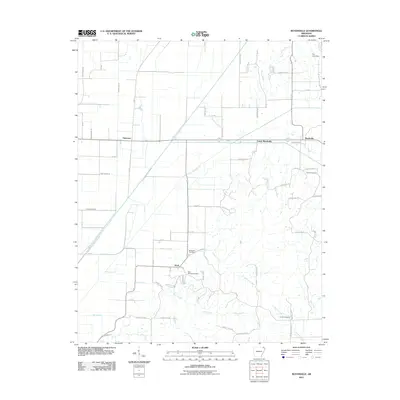
 2011 Marmaduke2011 Print · USGSCovers Greene County, including Marmaduke, Oak Grove Heights, and other nearby areas
 - 2011 Map of Paragould West, 2011 Print
 2011 Paragould West2011 Print · USGSCovers Greene County, including Paragould, Oak Grove Heights, and other nearby areas
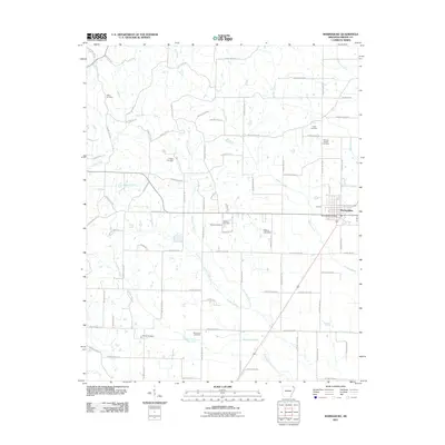
 - 2011 Map of Walcott, 2011 Print
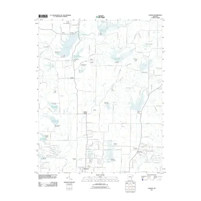
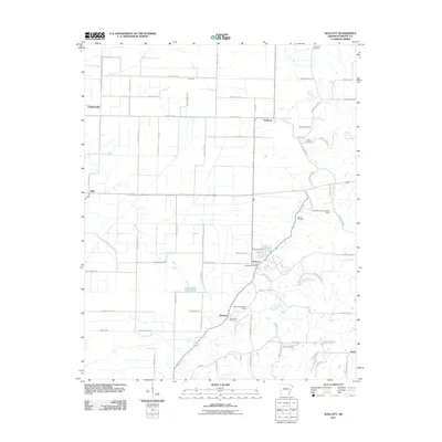 2011 Walcott2011 Print · USGSCovers Greene County, including Ebenezer, Stanford, and other nearby areas
 - 2014 Map of Brookland, 2014 Print
 2014 Brookland2014 Print · USGSCovers Greene County, including Jonesboro, Paragould, and other nearby areas
 - 2014 Map of Dixie, 2014 Print
 2014 Dixie2014 Print · USGSCovers Greene County, including Lester, Upper Poplar Ridge, and other nearby areas
 - 2014 Map of Bono, 2014 Print
 2014 Bono2014 Print · USGSCovers Greene County, including Bono, Sedgwick, and other nearby areas
 - 2014 Map of Lorado, 2014 Print
 2014 Lorado2014 Print · USGSCovers Greene County, including Jonesboro, Philadelphia, and other nearby areas
 - 2014 Map of Reyno, 2014 Print
 2014 Reyno2014 Print · USGSCovers Greene County, including Reyno, Biggers, and other nearby areas
Showing maps 1-25 of 98
Top cities of Greene County
- Paragould historical maps
- Marmaduke historical maps
- Oak Grove Heights historical maps
- Lafe historical maps
- Delaplaine historical maps
Frequently asked questions
- What are the different types of historical maps available for Greene County?
- What is the oldest map of Greene County?
- Where can I purchase historical maps of Greene County for my home or office?
- Where can I download high-res historical maps of Greene County?
- Are there historical topographic maps available for Greene County?
- Is there historical aerial imagery available for Greene County?
- Where are historical maps of Greene County sourced from?