2020s Maps of Greene County, Arkansas
Explore 38 historic maps of Greene County from the 2020s. These maps offer a rare glimpse into what life looked like during the 2020s — showing old roads, neighborhoods, homes, and landmarks that have changed or disappeared over time.
Whether you're researching your family's past, planning a metal detecting trip, or studying how Greene County's landscape evolved across the 2020s, these high-resolution maps are a powerful tool for exploring the history of this region.
- Focus on a specific era: All maps on this page are from the 2020s, giving you a focused view of this time period.
- See what’s changed: Compare century-old streets, trails, and buildings to today's modern landscape using overlays and satellite layers.
- Research with precision: Use these maps for genealogy, historical research, land use analysis, or educational projects.
- View, download, or print: Maps are fully viewable online in high resolution, and can be downloaded or printed for your own records.
Start exploring Greene County's history through authentic maps from the 2020s. This is your window into the past.
Greene County, AR maps
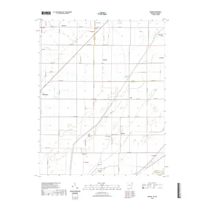
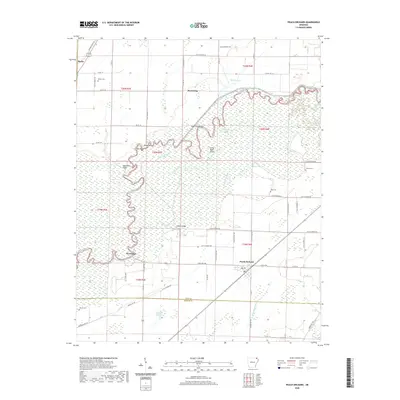
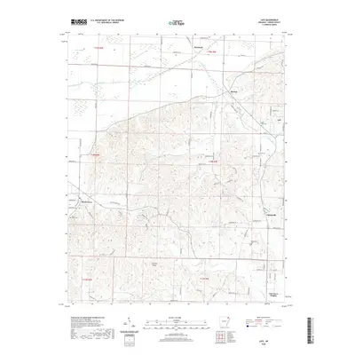
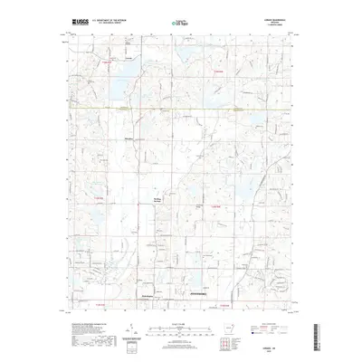
(38)- 2020 Map of Walnut Ridge SE, 2020 Print
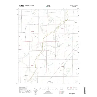 2020 Walnut Ridge SE2020 Print · USGSCovers Greene County, including Fontaine, Whiskerville, and other nearby areas
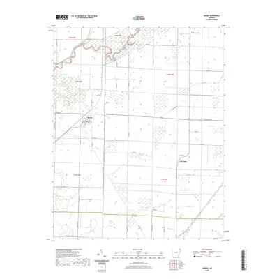
 - 2020 Map of Reyno, 2020 Print
 2020 Reyno2020 Print · USGSCovers Greene County, including Reyno, Biggers, and other nearby areas
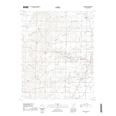
 - 2020 Map of Paragould East, 2020 Print
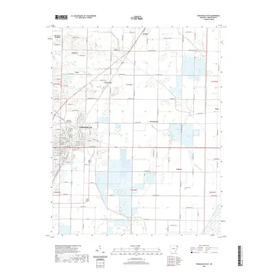 2020 Paragould East2020 Print · USGSCovers Greene County, including Paragould, Oak Grove Heights, and other nearby areas
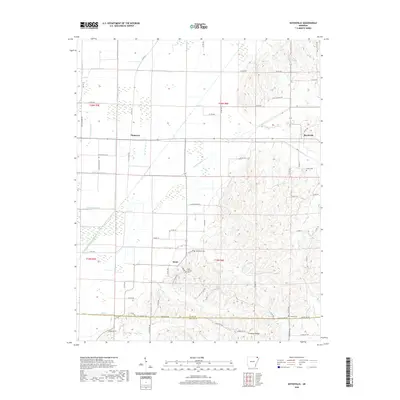
 - 2020 Map of Rector, 2020 Print
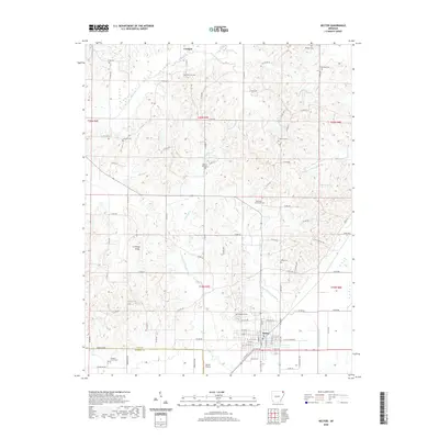 2020 Rector2020 Print · USGSCovers Greene County, including Rector, Pratt, and other nearby areas
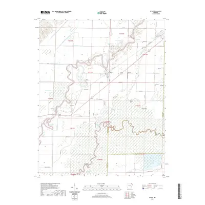
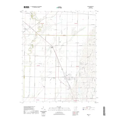
 - 2020 Map of Mounds, 2020 Print
 2020 Mounds2020 Print · USGSCovers Greene County, including Marmaduke, Mounds, and other nearby areas
 - 2020 Map of Paragould West, 2020 Print
 2020 Paragould West2020 Print · USGSCovers Greene County, including Paragould, Oak Grove Heights, and other nearby areas
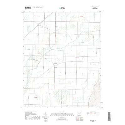
 - 2020 Map of O'Kean, 2020 Print
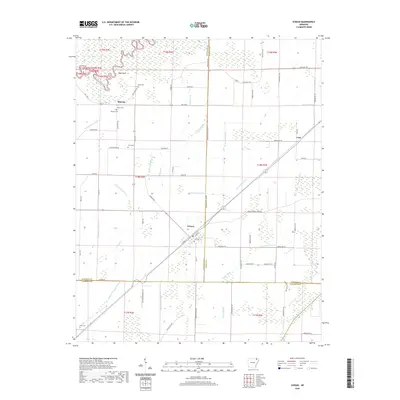 2020 O'Kean2020 Print · USGSCovers Greene County, including O'Kean, Case, and other nearby areas
 - 2020 Map of Marmaduke, 2020 Print
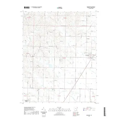 2020 Marmaduke2020 Print · USGSCovers Greene County, including Marmaduke, Oak Grove Heights, and other nearby areas
 - 2020 Map of Peach Orchard, 2020 Print
 2020 Peach Orchard2020 Print · USGSCovers Greene County, including Reyno, Peach Orchard, and other nearby areas
 - 2020 Map of Delaplaine, 2020 Print
 2020 Delaplaine2020 Print · USGSCovers Greene County, including Delaplaine, Evening Star, and other nearby areas
 - 2020 Map of Walcott, 2020 Print
 2020 Walcott2020 Print · USGSCovers Greene County, including Ebenezer, Stanford, and other nearby areas
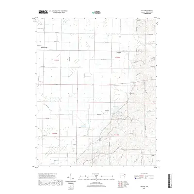
 - 2020 Map of Boydsville, 2020 Print
 2020 Boydsville2020 Print · USGSCovers Greene County, including Knob, Boydsville, and other nearby areas
 - 2020 Map of Lafe, 2020 Print
 2020 Lafe2020 Print · USGSCovers Greene County, including Oak Grove Heights, Lafe, and other nearby areas
 - 2020 Map of Bono, 2020 Print
 2020 Bono2020 Print · USGSCovers Greene County, including Bono, Sedgwick, and other nearby areas
 - 2020 Map of Brookland, 2020 Print
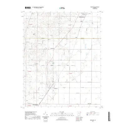 2020 Brookland2020 Print · USGSCovers Greene County, including Jonesboro, Paragould, and other nearby areas
 - 2020 Map of Dixie, 2020 Print
 2020 Dixie2020 Print · USGSCovers Greene County, including Lester, Upper Poplar Ridge, and other nearby areas
 - 2020 Map of Lorado, 2020 Print
 2020 Lorado2020 Print · USGSCovers Greene County, including Jonesboro, Philadelphia, and other nearby areas
 - 2020 Map of Knobel, 2020 Print
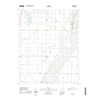
 2020 Knobel2020 Print · USGSCovers Greene County, including Knobel, Cache Lake, and other nearby areas
 - 2021 Map of Cardwell, 2021 Print
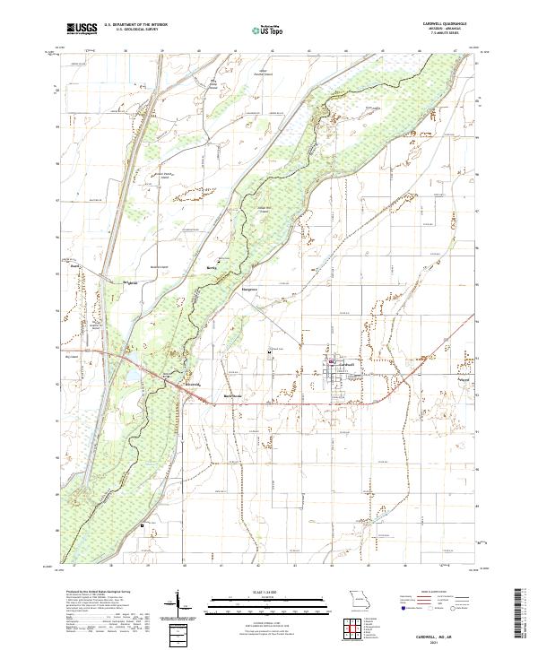 2021 Cardwell2021 Print · USGSThe Missouri Bootheel meets the Arkansas line along the meandering Saint Francis River in this detailed recent survey. Genealogists and local historians can locate the streets of Cardwell, find rural cemeteries like Bertig Cem, and trace the numerous drainage ditches that define this river valley.
 - 2021 Map of Senath, 2021 Print
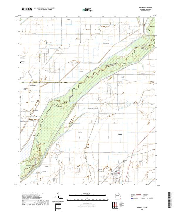 2021 Senath2021 Print · USGSThe Missouri Bootheel borderlands come into focus in this recent survey of the Dunklin County landscape and its intricate river systems. Researchers can trace family roots through Senath Cem and McGrew Cem or locate the historic sites of Mitchell Mill and Johnson Mill.
 - 2024 Map of Bono, 2024 Print
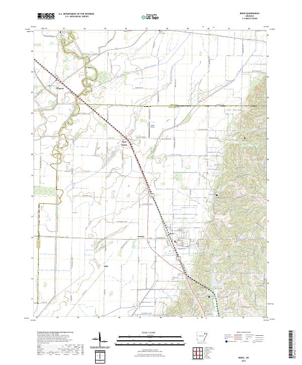 2024 Bono2024 Print · USGSNortheast Arkansas in the early twenty-first century reveals a landscape shaped by the BNSF Railway and the unique elevation of Crowleys Ridge. You can trace historical property lines and local burial sites like Old Military Cem and Love Cem near Bono and Sedgwick.
 - 2024 Map of Knobel, 2024 Print
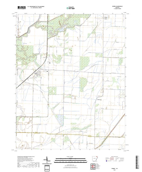 2024 Knobel2024 Print · USGSThe Arkansas delta near the Clay and Greene County line shows a landscape of engineered drainage and river bends. Trace local history through family-named sites like Bond Cem and Gilchrist Cem, or follow the Black River as it passes near Knobel.
 - 2024 Map of Dixie, 2024 Print
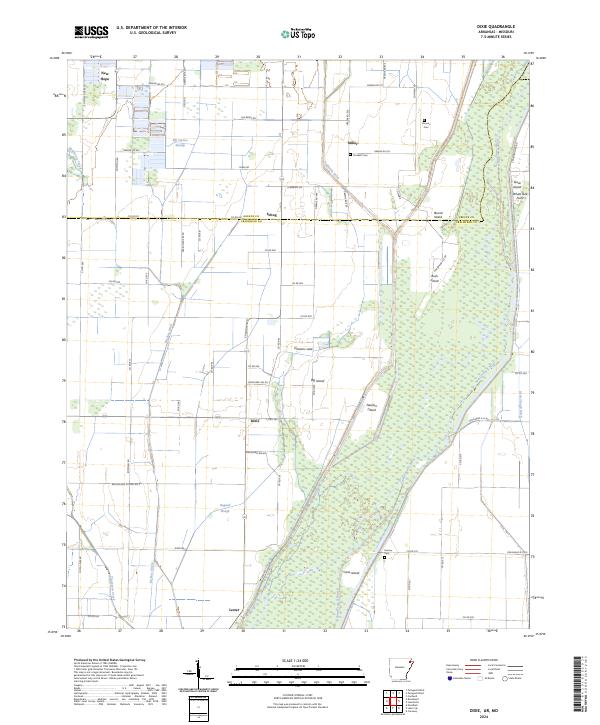 2024 Dixie2024 Print · USGSIn the river bottomlands of northeast Arkansas, this survey shows a landscape defined by the winding Saint Francis River and its many islands. Researchers can locate community centers like Dixie and Miller or trace family lineage through Parsons Cem and Crockett Cem.
 - 2024 Map of Mounds, 2024 Print
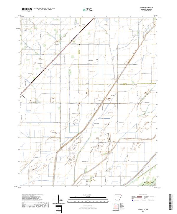 2024 Mounds2024 Print · USGSThe agricultural borderlands of Greene and Clay Counties are mapped here in the early twenty-first century, showing a landscape defined by drainage and small rural settlements. Researchers can trace family sites near Reddick Cem or follow the water through Cottonwood Slough and Hurricane Ditch.
 - 2024 Map of Lafe, 2024 Print
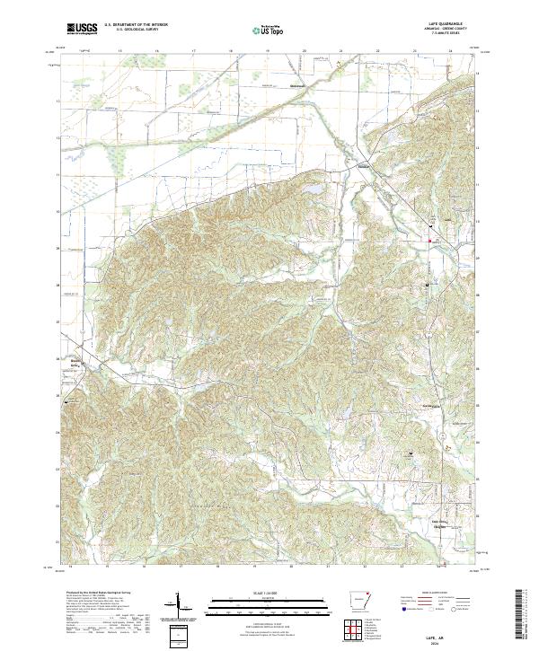 2024 Lafe2024 Print · USGSGreene County is defined by the unique rise of Crowleys Ridge and its surrounding agricultural lowlands in this recent survey. Local historians can trace established community centers like Lafe and Gainesville alongside family landmarks such as Saint Johns Cem.
Showing maps 1-25 of 38
Top cities of Greene County
- Paragould historical maps
- Marmaduke historical maps
- Oak Grove Heights historical maps
- Lafe historical maps
- Delaplaine historical maps
Frequently asked questions
- What are the different types of historical maps available for Greene County?
- What is the oldest map of Greene County?
- Where can I purchase historical maps of Greene County for my home or office?
- Where can I download high-res historical maps of Greene County?
- Are there historical topographic maps available for Greene County?
- Is there historical aerial imagery available for Greene County?
- Where are historical maps of Greene County sourced from?