2000s (21st Century) Maps of Independence County, Arkansas
Explore 110 historic maps of Independence County from the 2000s (21st Century). These maps offer a rare glimpse into what life looked like during the 2000s — showing old roads, neighborhoods, homes, and landmarks that have changed or disappeared over time.
Whether you're researching your family's past, planning a metal detecting trip, or studying how Independence County's landscape evolved across the 2000s, these high-resolution maps are a powerful tool for exploring the history of this region.
- Focus on a specific era: All maps on this page are from the 2000s, giving you a focused view of this time period.
- See what’s changed: Compare century-old streets, trails, and buildings to today's modern landscape using overlays and satellite layers.
- Research with precision: Use these maps for genealogy, historical research, land use analysis, or educational projects.
- View, download, or print: Maps are fully viewable online in high resolution, and can be downloaded or printed for your own records.
Start exploring Independence County's history through authentic maps from the 2000s. This is your window into the past.
Independence County, AR maps
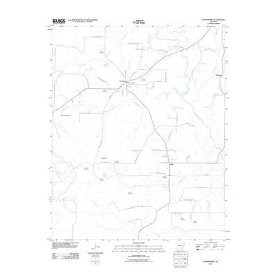
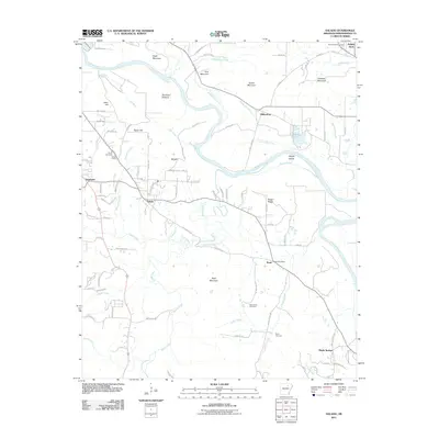
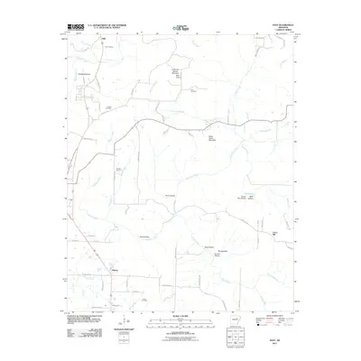
(110)- 2011 Map of Batesville, 2011 Print
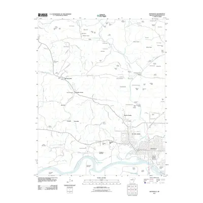 2011 Batesville2011 Print · USGSCovers Independence County, including Batesville, Cushman, and other nearby areas
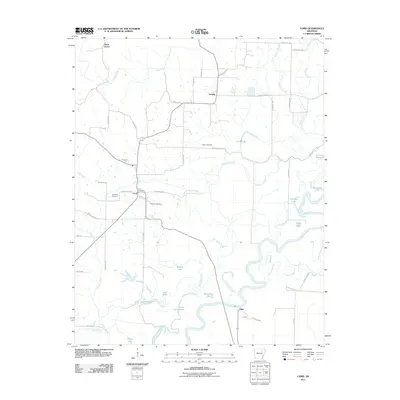
 - 2011 Map of Grange, 2011 Print
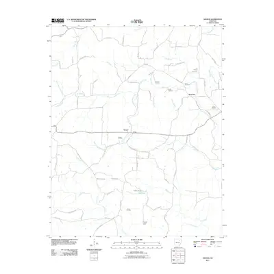 2011 Grange2011 Print · USGSCovers Independence County, including Aetna, Shelbyville, and other nearby areas
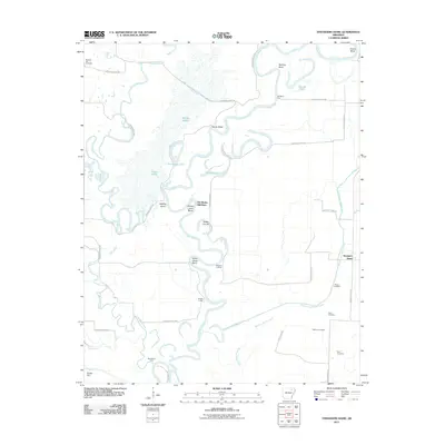
 - 2011 Map of Newport, 2011 Print
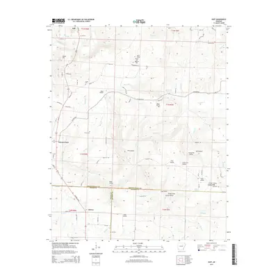
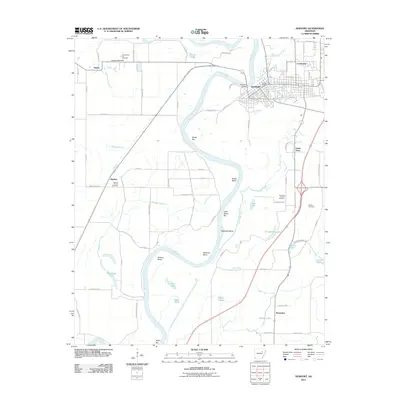 2011 Newport2011 Print · USGSCovers Independence County, including Newport, Diaz, and other nearby areas
 - 2011 Map of Newark, 2011 Print
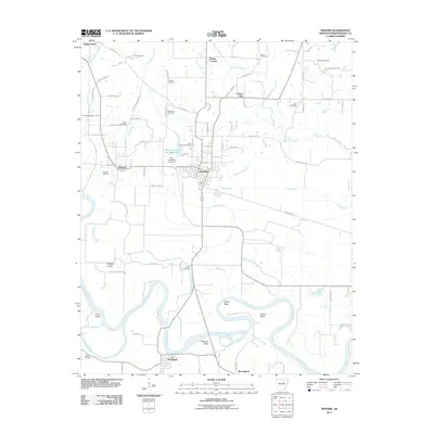 2011 Newark2011 Print · USGSCovers Independence County, including Newark, Sulphur Rock, and other nearby areas
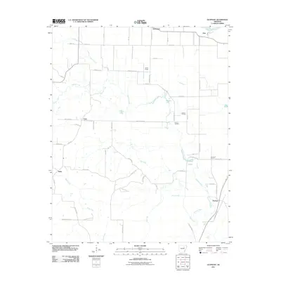
 - 2011 Map of Charlotte, 2011 Print
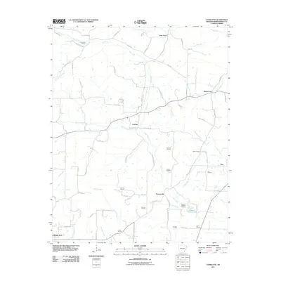 2011 Charlotte2011 Print · USGSCovers Independence County, including Sulphur Rock, Charlotte, and other nearby areas
 - 2011 Map of Swifton West, 2011 Print
 2011 Swifton West2011 Print · USGSCovers Independence County, including Tuckerman, Swifton, and other nearby areas
 - 2011 Map of Strawberry, 2011 Print
 2011 Strawberry2011 Print · USGSCovers Independence County, including Lynn, Strawberry, and other nearby areas
 - 2011 Map of Cord, 2011 Print
 2011 Cord2011 Print · USGSCovers Independence County, including Elgin, Hazel Grove, and other nearby areas
 - 2011 Map of Floral, 2011 Print
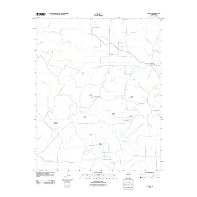 2011 Floral2011 Print · USGSCovers Independence County, including Floral, White County, and other nearby areas
 - 2011 Map of Concord, 2011 Print
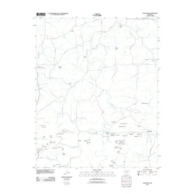
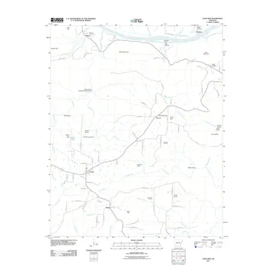 2011 Concord2011 Print · USGSCovers Independence County, including Concord, Earnheart, and other nearby areas
 - 2011 Map of Mount Pleasant, 2011 Print
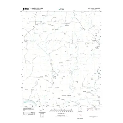 2011 Mount Pleasant2011 Print · USGSCovers Independence County, including Cushman, Mount Pleasant, and other nearby areas
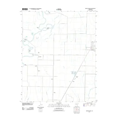
 - 2011 Map of Jamestown, 2011 Print
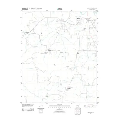 2011 Jamestown2011 Print · USGSCovers Independence County, including Batesville, Southside, and other nearby areas
 - 2011 Map of Salado, 2011 Print
 2011 Salado2011 Print · USGSCovers Independence County, including Batesville, Southside, and other nearby areas
 - 2011 Map of Pleasant Plains, 2011 Print
 2011 Pleasant Plains2011 Print · USGSCovers Independence County, including Pleasant Plains, Roosevelt, and other nearby areas
 - 2011 Map of Sulphur Rock, 2011 Print
 2011 Sulphur Rock2011 Print · USGSCovers Independence County, including Batesville, Sulphur Rock, and other nearby areas
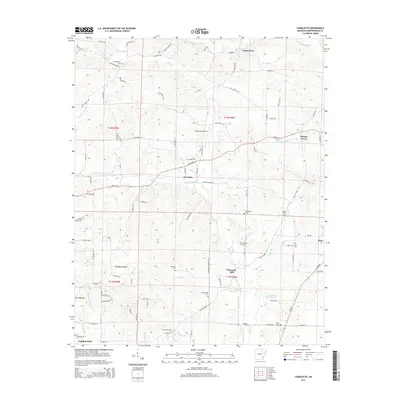
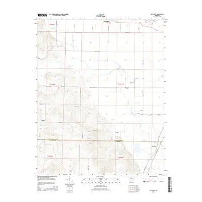
 - 2011 Map of Olyphant, 2011 Print
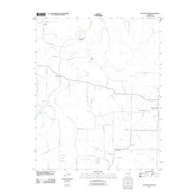
 2011 Olyphant2011 Print · USGSCovers Independence County, including Oil Trough, Olyphant, and other nearby areas
 - 2011 Map of Bethesda, 2011 Print
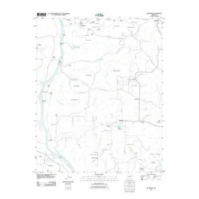 2011 Bethesda2011 Print · USGSCovers Independence County, including Cushman, Harmontown, and other nearby areas
 - 2011 Map of Strangers Home, 2011 Print
 2011 Strangers Home2011 Print · USGSCovers Independence County, including Lynn, Strangers Home, and other nearby areas
 - 2011 Map of Huff, 2011 Print
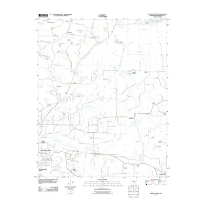
 2011 Huff2011 Print · USGSCovers Independence County, including Pleasant Plains, Midway, and other nearby areas
 - 2011 Map of Jacksonport, 2011 Print
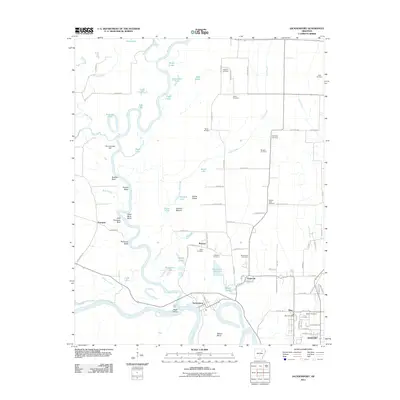 2011 Jacksonport2011 Print · USGSCovers Independence County, including Newport, Diaz, and other nearby areas
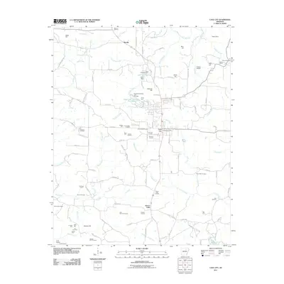
 - 2011 Map of Cave City, 2011 Print
 2011 Cave City2011 Print · USGSCovers Independence County, including Cave City, Maxville, and other nearby areas
 - 2011 Map of Sandtown, 2011 Print
 2011 Sandtown2011 Print · USGSCovers Independence County, including Cushman, Mount Pleasant, and other nearby areas
 - 2014 Map of Charlotte, 2014 Print
 2014 Charlotte2014 Print · USGSCovers Independence County, including Sulphur Rock, Charlotte, and other nearby areas
 - 2014 Map of Huff, 2014 Print
 2014 Huff2014 Print · USGSCovers Independence County, including Pleasant Plains, Midway, and other nearby areas
 - 2014 Map of Olyphant, 2014 Print
 2014 Olyphant2014 Print · USGSCovers Independence County, including Oil Trough, Olyphant, and other nearby areas
Showing maps 1-25 of 110
Top cities of Independence County
- Batesville historical maps
- Southside historical maps
- Newark historical maps
- Cushman historical maps
- Sulphur Rock historical maps
- Pleasant Plains historical maps
See more
Frequently asked questions
- What are the different types of historical maps available for Independence County?
- What is the oldest map of Independence County?
- Where can I purchase historical maps of Independence County for my home or office?
- Where can I download high-res historical maps of Independence County?
- Are there historical topographic maps available for Independence County?
- Is there historical aerial imagery available for Independence County?
- Where are historical maps of Independence County sourced from?