2020s Maps of Independence County, Arkansas
Explore 44 historic maps of Independence County from the 2020s. These maps offer a rare glimpse into what life looked like during the 2020s — showing old roads, neighborhoods, homes, and landmarks that have changed or disappeared over time.
Whether you're researching your family's past, planning a metal detecting trip, or studying how Independence County's landscape evolved across the 2020s, these high-resolution maps are a powerful tool for exploring the history of this region.
- Focus on a specific era: All maps on this page are from the 2020s, giving you a focused view of this time period.
- See what’s changed: Compare century-old streets, trails, and buildings to today's modern landscape using overlays and satellite layers.
- Research with precision: Use these maps for genealogy, historical research, land use analysis, or educational projects.
- View, download, or print: Maps are fully viewable online in high resolution, and can be downloaded or printed for your own records.
Start exploring Independence County's history through authentic maps from the 2020s. This is your window into the past.
Independence County, AR maps
(44)- 2020 Map of Salado, 2020 Print
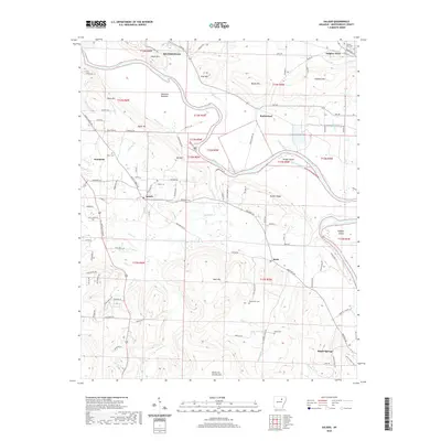 2020 Salado2020 Print · USGSIndependence County's river valley comes into focus in this contemporary survey of the settlements south of Batesville. Researchers can trace family history through local landmarks like Sulphur Rock Cem, Macedonia Cem, and the community of Salado.
 - 2020 Map of Cord, 2020 Print
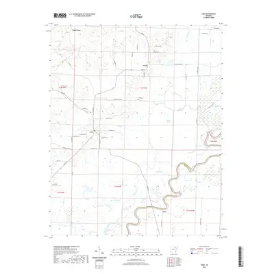 2020 Cord2020 Print · USGSElgin and the winding Black River bottomlands define this portion of the Arkansas delta and foothills as they appeared in 2020. Local researchers can trace family landmarks and rural communities at Cord, Hopewell Cem, and Turkey Hill.
 - 2020 Map of Concord, 2020 Print
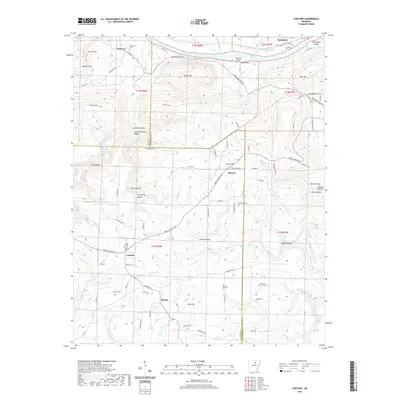 2020 Concord2020 Print · USGSThe rural borders of Cleburne, Stone, and Independence counties are captured here in the 2020s. Researchers can trace family history through local landmarks like Bellmore Cem, Mount Zion Cem, and the communities of Concord and Melrose.
 - 2020 Map of Strawberry, 2020 Print
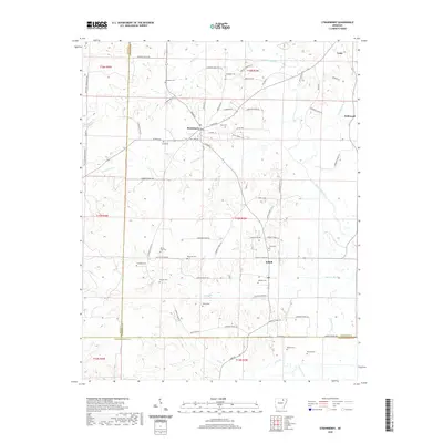 2020 Strawberry2020 Print · USGSLawrence County, Arkansas, at the start of the 2020s shows a landscape shaped by the Strawberry River and deep family roots. Genealogists can locate numerous burial sites including Mount Zion Cem and McNutt Cem near the settlements of Strawberry and Saffell.
 - 2020 Map of Strangers Home, 2020 Print
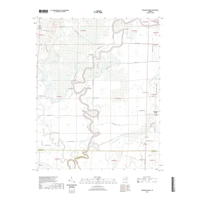 2020 Strangers Home2020 Print · USGSNortheastern Arkansas bottomlands come to life in this survey of the river country during the early twenty-first century. Researchers can locate numerous rural burial grounds like Strangers Home Cem and Broom Cem or trace the winding Black River through Rainey Brake.
 - 2020 Map of Sandtown, 2020 Print
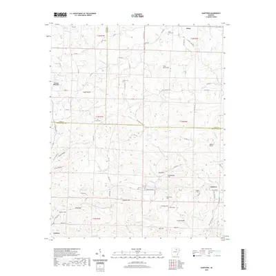 2020 Sandtown2020 Print · USGSThe Ozark foothills of Izard, Sharp, and Independence Counties are shown in this recent survey of northern Arkansas. Researchers can locate family landmarks such as Peter Martin Hill, Chapel Hill, and several local cemeteries like Kirk Cem and Conyers Cem.
 - 2020 Map of Swifton West, 2020 Print
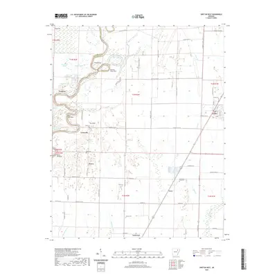 2020 Swifton West2020 Print · USGSJackson County settlement and drainage patterns are recorded here as they appeared in the early twenty-first century. Researchers can locate family landmarks like the Foust-Adams Family Cem or trace the rural communities of Kenyon and Lockheart.
 - 2020 Map of Grange, 2020 Print
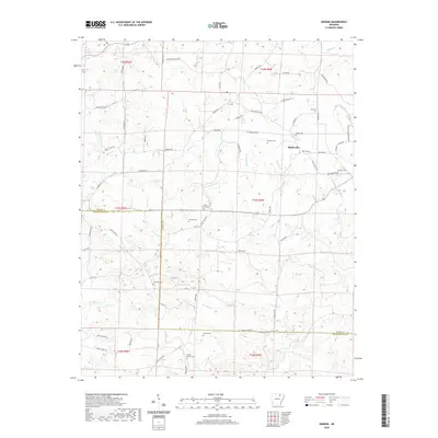 2020 Grange2020 Print · USGSThe rural Arkansas borderlands near Grange and Shelbyville are captured here in the late twenty-teens. Genealogists can trace family heritage through a high density of rural burial grounds like Shaver Cem, James Cem, and Gardner Cem.
 - 2020 Map of Jacksonport, 2020 Print
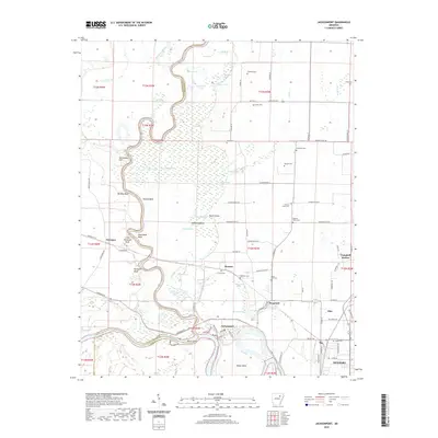 2020 Jacksonport2020 Print · USGSThe confluence of the White River and Black River at Jacksonport anchors this study of Jackson County's water-shaped landscape. Trace local heritage through landmarks like Howard Mound, the river bends at Dead Mule Bend, and rural burial sites like Mercy Seat Cem.
 - 2020 Map of Cave City, 2020 Print
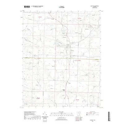 2020 Cave City2020 Print · USGSSharp and Independence counties are captured here in the early twenty-first century as the landscape maintains its traditional rural character. Genealogists can locate several burial sites like Hickory Valley Cem and Mount Tabor Cem near the historic hub of Cave City.
 - 2020 Map of Newark, 2020 Print
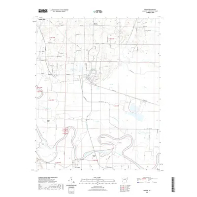 2020 Newark2020 Print · USGSIndependence County's riverfront settlements and rural cemeteries are well-documented in this recent survey of the White River valley. Genealogists and local historians can trace family roots at Blue Springs Cem and Akron Cem or explore the river geography around Oil Trough and Magness.
 - 2020 Map of Jamestown, 2020 Print
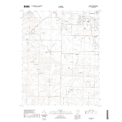 2020 Jamestown2020 Print · USGSIndependence County transitions from the White River plains to the foothills in the 2020s, revealing a dense network of rural communities and mountain ridges. Researchers can locate several family burial sites like Alderbrook Cem and Kyler Cem or trace the drainage of Greenbrier Creek.
 - 2020 Map of Pleasant Plains, 2020 Print
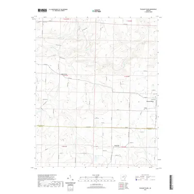 2020 Pleasant Plains2020 Print · USGSPleasant Plains and the Independence-White County border region are captured here in the contemporary era. Researchers can trace rural lineages through local landmarks like Pleasant Plains Cemetery, Old Union Cemetery, and the settlement at Roosevelt.
 - 2020 Map of Huff, 2020 Print
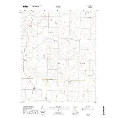 2020 Huff2020 Print · USGSThe foothills of the Ozarks meet the county lines of Independence and White in the late 2010s. Researchers can locate numerous family burial sites including Putman Cem and Goad Cem, or trace the drainage of Departee Creek through Wildcat Bluff.
 - 2020 Map of Charlotte, 2020 Print
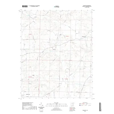 2020 Charlotte2020 Print · USGSIn this contemporary look at Independence County, the rural landscape near Sulphur Rock and Charlotte remains shaped by its numerous cemeteries and winding creeks. Researchers can trace local lineage through sites like Convenience Cem or Batman Cem while exploring the area surrounding Henley Aerodrome.
 - 2020 Map of Bethesda, 2020 Print
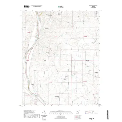 2020 Bethesda2020 Print · USGSIndependence County settlement and river life are frozen in time on this recent survey of northern Arkansas. Genealogists can locate family landmarks like York Cem and Lindsey Cem or trace the rural roads connecting Bethesda and Cushman.
 - 2020 Map of Mount Pleasant, 2020 Print
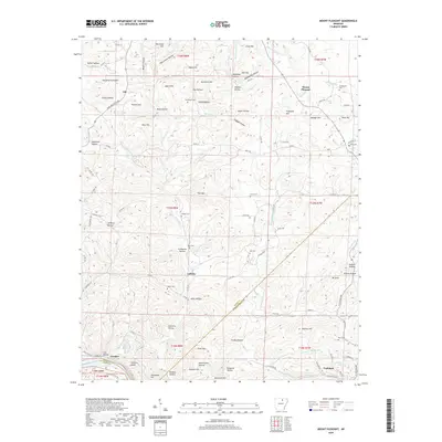 2020 Mount Pleasant2020 Print · USGSMount Pleasant and the surrounding highlands of Independence and Izard Counties are documented here in the early twenty-first century. Researchers can trace rural cemeteries and water features like No Bottom Cem, Blowing Cave Spring, and the banks of the White River.
 - 2020 Map of Floral, 2020 Print
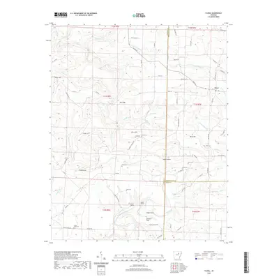 2020 Floral2020 Print · USGSFloral and the surrounding Independence County uplands are documented here in the early twenty-first century. Researchers can locate numerous local burial sites like Warren Cem and Mason Cem or trace the geography of Warren Mtn.
 - 2020 Map of Sulphur Rock, 2020 Print
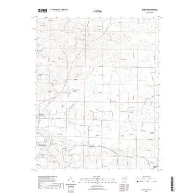 2020 Sulphur Rock2020 Print · USGSIndependence County's eastern settlements and rural ridges are documented here during the modern era. Genealogists can locate family landmarks like Reobeth Cem, Stark Cem, and Sulphur Rock along the historic rail and road corridors.
 - 2020 Map of Batesville, 2020 Print
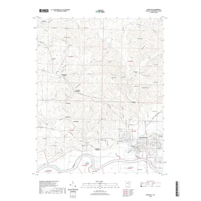 2020 Batesville2020 Print · USGSBatesville and its rugged Independence County surroundings appear in high detail at the start of the 2020s. Researchers can trace family sites and local history through features like Lyon College, the Big Spring Mill, and numerous rural burial grounds such as James Cem and Oaklawn Cem.
 - 2020 Map of Newport, 2020 Print
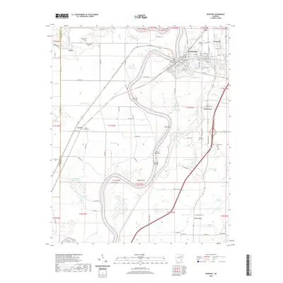 2020 Newport2020 Print · USGSNewport and its neighboring river communities are documented here during the early twenty-first century as the White River continues to shape the Jackson County landscape. Researchers can trace local history through sites like the Jackson County Courthouse and numerous burial grounds including Walnut Grove Cem and Nuckles Switch Cem.
 - 2020 Map of Olyphant, 2020 Print
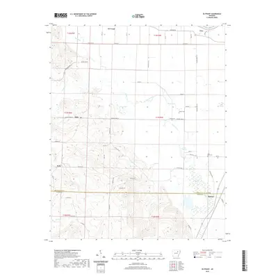 2020 Olyphant2020 Print · USGSThe river bottomlands and rural uplands of Independence and Jackson counties are documented here in recent detail. Researchers can trace family history at Sanders Cem or locate the small settlements of Oil Trough, Thida, and Olyphant.
 - 2024 Map of Strawberry, 2024 Print
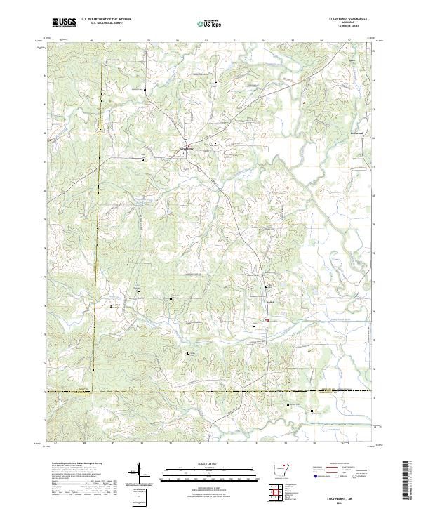 2024 Strawberry2024 Print · USGSNortheast Arkansas in the current era remains a landscape of quiet river towns and family legacies. Genealogists can trace deep roots through numerous sites like Jerusalem Cem and Mount Zion Cem or the community of Strawberry.
 - 2024 Map of Newport, 2024 Print
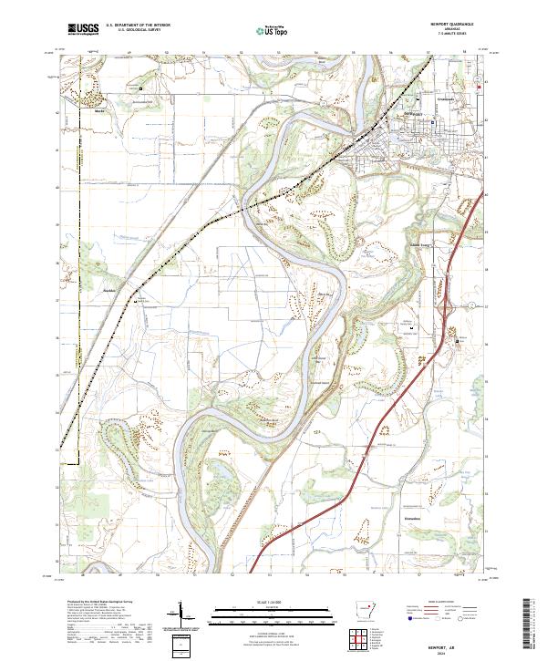 2024 Newport2024 Print · USGSIn the modern era, the riverfront town of NEWPORT remains anchored by the White River and its labyrinth of surrounding sloughs. Researchers can trace local lineage at Nuckles Switch Cem and Walnut Grove Cem or locate the historic Jackson County Courthouse.
 - 2024 Map of Salado, 2024 Print
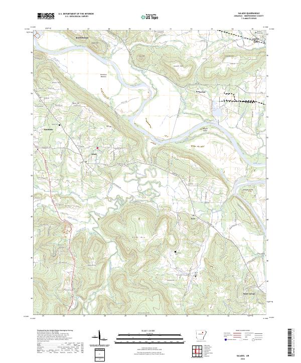 2024 Salado2024 Print · USGSIndependence County's river-and-ridge landscape comes into focus in this contemporary survey of the White River valley. Genealogists and local historians can trace family roots through rural landmarks like Macedonia Cem and communities such as Salado and Rosie.
Showing maps 1-25 of 44
Top cities of Independence County
- Batesville historical maps
- Southside historical maps
- Newark historical maps
- Cushman historical maps
- Sulphur Rock historical maps
- Pleasant Plains historical maps
See more
Frequently asked questions
- What are the different types of historical maps available for Independence County?
- What is the oldest map of Independence County?
- Where can I purchase historical maps of Independence County for my home or office?
- Where can I download high-res historical maps of Independence County?
- Are there historical topographic maps available for Independence County?
- Is there historical aerial imagery available for Independence County?
- Where are historical maps of Independence County sourced from?