2020s Maps of Logan County, Arkansas
Explore 46 historic maps of Logan County from the 2020s. These maps offer a rare glimpse into what life looked like during the 2020s — showing old roads, neighborhoods, homes, and landmarks that have changed or disappeared over time.
Whether you're researching your family's past, planning a metal detecting trip, or studying how Logan County's landscape evolved across the 2020s, these high-resolution maps are a powerful tool for exploring the history of this region.
- Focus on a specific era: All maps on this page are from the 2020s, giving you a focused view of this time period.
- See what’s changed: Compare century-old streets, trails, and buildings to today's modern landscape using overlays and satellite layers.
- Research with precision: Use these maps for genealogy, historical research, land use analysis, or educational projects.
- View, download, or print: Maps are fully viewable online in high resolution, and can be downloaded or printed for your own records.
Start exploring Logan County's history through authentic maps from the 2020s. This is your window into the past.
Logan County, AR maps
(46)- 2020 Map of Barber, 2020 Print
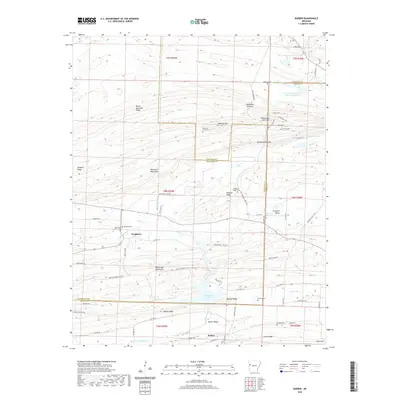 2020 Barber2020 Print · USGSThe tri-county borders of Franklin, Logan, and Sebastian counties are defined by the ridgelines of the Washburn Mountains in the early twenty-first century. Researchers can locate several historic burial grounds like Washburn Cem and Antioch Cem or trace old routes through Backbone Narrows.
 - 2020 Map of Burnville, 2020 Print
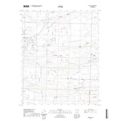 2020 Burnville2020 Print · USGSSebastian County’s ridges and valley settlements are captured in detail during this recent period of the twenty-first century. Researchers can locate numerous historic family burial grounds like Mc Connel Cem and Liberty Cem, or trace the winding course of Vache Grasse Creek.
 - 2020 Map of Ione, 2020 Print
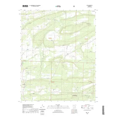 2020 Ione2020 Print · USGSThe borderlands of Logan and Scott Counties come into focus in the early twenty-first century as the Petit Jean River valley meets the forest. Genealogists can locate several family burial sites including Tomlinson Cem, Wiley Cem, and Little Cauthron Cem.
 - 2020 Map of Ozark, 2020 Print
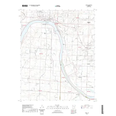 2020 Ozark2020 Print · USGSOzark and its riverfront are documented here in 2020, showing the town at a strategic bend in the Arkansas River near Altus and Denning. Researchers can trace the layout of the Franklin County Courthouse or locate family sites at Highland Cem and Pilot Grove Cem.
 - 2020 Map of Scranton, 2020 Print
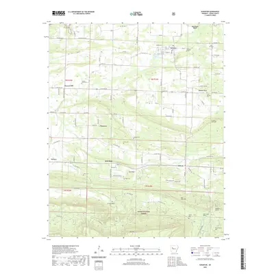 2020 Scranton2020 Print · USGSLogan County agricultural communities and the forested ridges of the Ozarks come into focus in this recent survey. Local historians can trace old homesteads and community markers from Scranton to Subiaco, including Saint Meinrads Cem and Butler Cem.
 - 2020 Map of Paris, 2020 Print
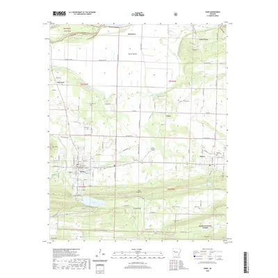 2020 Paris2020 Print · USGSLogan County is depicted here in the contemporary era, showing the relationship between the valley floor and the wooded slopes of the Ozark National Forest. Researchers can locate several burial sites and landmarks including the Subiaco Abbey Cem, the Logan County Courthouse, and the Paris Reservoir.
 - 2020 Map of Chickalah Mountain West, 2020 Print
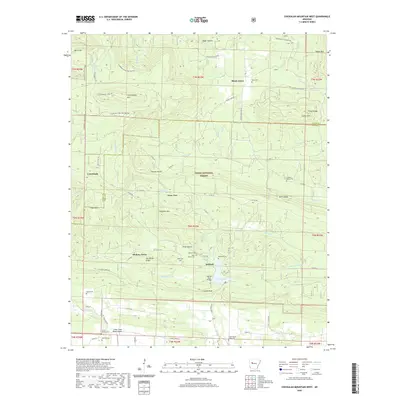 2020 Chickalah Mountain West2020 Print · USGSYell County's wooded ridges and quiet valleys are documented here during the early twenty-first century. Genealogists and local historians can locate numerous family burial sites such as Abbott Grave and Harkey's Valley Cem near Gum Tree.
 - 2020 Map of Caulksville, 2020 Print
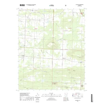 2020 Caulksville2020 Print · USGSLogan County settlement and the foothills of the Ozarks are captured here during the early twenty-first century. Researchers can trace family history through local landmarks like Saint Anthony Cemetery, the town of Carbon City, and the Etna Airport.
 - 2020 Map of Branch, 2020 Print
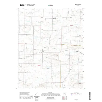 2020 Branch2020 Print · USGSThe rural communities of Franklin and Logan Counties are captured here in the early twenty-first century as they center around the town of Branch. Researchers can trace local history through numerous family landmarks including Hunter Cem, Peter Pender, and Coles Chapel Cir.
 - 2020 Map of Clarksville, 2020 Print
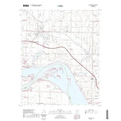 2020 Clarksville2020 Print · USGSJohnson County's river valley and administrative center are captured here in the 2020s, showing the intersection of modern transit and historic foundations. Researchers can trace local heritage through numerous burial sites like Pryor Cem and Blakeley Cem or locate the campus of the University of the Ozarks.
 - 2020 Map of Booneville, 2020 Print
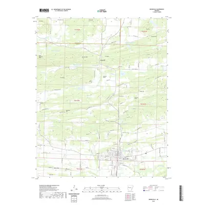 2020 Booneville2020 Print · USGSBooneville and the surrounding Logan County ridges are documented here in the early twenty-first century. Genealogists can locate several historic burial grounds like Oak Hill Cem and Harville Cem near the slopes of Booneville Mtn.
 - 2020 Map of Coal Hill, 2020 Print
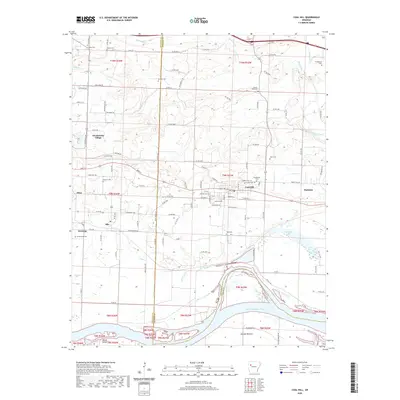 2020 Coal Hill2020 Print · USGSThe Arkansas River Valley near the Johnson and Franklin County line is captured here in its modern context. Genealogists can locate numerous rural burial sites including Possum Walk Cem, Hess Cem, and Srygley Cem near Coal Hill.
 - 2020 Map of Blue Mountain, 2020 Print
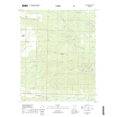 2020 Blue Mountain2020 Print · USGSMount Magazine stands tall in the Arkansas back country during the early twenty-first century. Researchers can trace family sites at Little Hope Cem and Rana Cem or explore the geography of Cameron Bluff and Blue Mountain.
 - 2020 Map of Chickalah Mountain East, 2020 Print
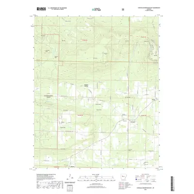 2020 Chickalah Mountain East2020 Print · USGSYell County in the early twenty-first century retains its rural character, shaped by the ridges and creek valleys of the Ozark National Forest. Genealogists and local historians can trace family locations near the Mountain Spring Cemetery or the historic settlement of Chickalah.
 - 2020 Map of Hartman, 2020 Print
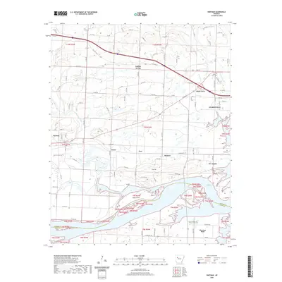 2020 Hartman2020 Print · USGSThe Arkansas River valley near Clarksville is captured here as it appeared in the early twenty-first century, showing the expansive Lake Dardanelle and its many inlets. Researchers can locate family landmarks such as Saint's Peter and Paul Catholic Cem, Skaggs Island, and the community of Morrison Bluff.
 - 2020 Map of Sugar Grove, 2020 Print
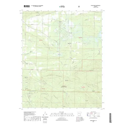 2020 Sugar Grove2020 Print · USGSThe Logan and Scott County line runs through this Arkansas river valley as it appeared in the early 2020s. Genealogists can trace family names through several rural burial grounds, including Logan Cem, Bud Davis Cem, and Helton Cem.
 - 2020 Map of Blue Mountain Dam, 2020 Print
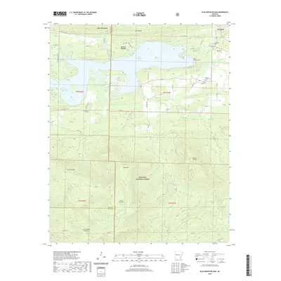 2020 Blue Mountain Dam2020 Print · USGSBlue Mountain Lake and the surrounding Yell and Logan County ridges are shown here in fine detail during the modern era. Genealogists can locate family burial sites such as Moores Chapel Cem and Alexander A Scott Cem near the banks of the Petit Jean River.
 - 2020 Map of Magazine Mountain NE, 2020 Print
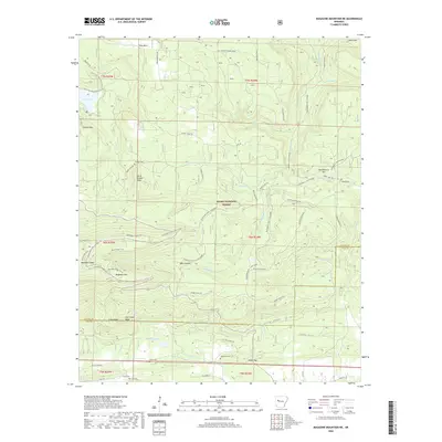 2020 Magazine Mountain NE2020 Print · USGSLogan and Yell counties meet at the high peaks of the Ozark National Forest in this modern survey. Genealogists and hikers can trace remote burial grounds like Antioch Cem and Valentine Cem or explore the trails surrounding Cove Lake and Magazine Mtn.
 - 2020 Map of Magazine, 2020 Print
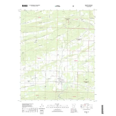 2020 Magazine2020 Print · USGSMagazine and the surrounding Logan County countryside are shown here in the early twenty-first century, framed by the ridges of the Ozark National Forest. Researchers can locate several historic burial grounds like Old Union-Cumberland Cem and landmarks such as Kilburn Bridge on the Petit Jean River.
 - 2020 Map of New Blaine, 2020 Print
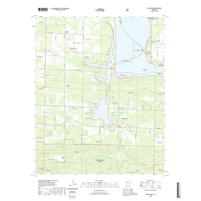 2020 New Blaine2020 Print · USGSThe Arkansas River Valley meets the high ridges of the Ozark National Forest in this recent look at Logan and Johnson Counties. Researchers can locate family landmarks like Saint Scholastica Cem and Hall Cem or trace the shoreline near New Blaine.
 - 2020 Map of Golden City, 2020 Print
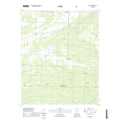 2020 Golden City2020 Print · USGSLogan County settlements and forest highlands are captured here during a period of modern rural stability. Researchers can trace family history through numerous burial grounds like Golden City Cem and Oliver Cem near the Petit Jean River.
 - 2020 Map of Delaware, 2020 Print
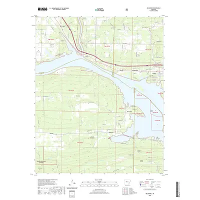 2020 Delaware2020 Print · USGSIn the Arkansas River Valley just before the 2020s, the shores of Lake Dardanelle define the landscape between London and Knoxville. Genealogists and historians can trace numerous family burial sites, from Garrison Cem to Stinnett Cem, alongside landmarks like River Mtn.
 - 2020 Map of Abbott, 2020 Print
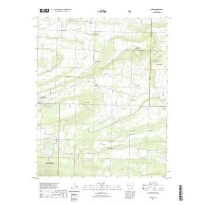 2020 Abbott2020 Print · USGSThe borderlands of Sebastian and Scott counties are revealed in this modern survey of the Arkansas countryside. Genealogists can trace family heritage through numerous burial sites like Coop Prairie Cem, Sorrels Cem, and Looper Cem near Abbott.
 - 2024 Map of Abbott, 2024 Print
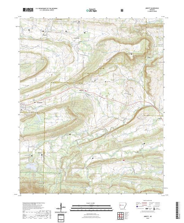 2024 Abbott2024 Print · USGSThe rural borderlands of Scott and Sebastian counties are detailed here in the 2020s, showing a landscape of upland ridges and creek valleys. Researchers can locate numerous local burial grounds like Coop Prairie Cem and Slate Cem near Abbott and Mansfield.
 - 2024 Map of Chickalah Mountain East, 2024 Print
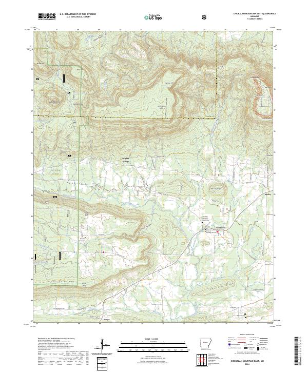 2024 Chickalah Mountain East2024 Print · USGSYell County, Arkansas, is captured here in a period of rural continuity, where high ridges like Mt Nebo overlook ancient valley settlements. Genealogists can trace local roots through numerous sites including Chickalah Hill Cem, Fulton Cem, and the community at Chickalah.
Showing maps 1-25 of 46
Top cities of Logan County
- Booneville historical maps
- Paris historical maps
- Magazine historical maps
- Subiaco historical maps
- Caulksville historical maps
- Scranton historical maps
See more
Frequently asked questions
- What are the different types of historical maps available for Logan County?
- What is the oldest map of Logan County?
- Where can I purchase historical maps of Logan County for my home or office?
- Where can I download high-res historical maps of Logan County?
- Are there historical topographic maps available for Logan County?
- Is there historical aerial imagery available for Logan County?
- Where are historical maps of Logan County sourced from?