2010s Maps of Mississippi County, Arkansas
Explore 83 historic maps of Mississippi County from the 2010s. These maps offer a rare glimpse into what life looked like during the 2010s — showing old roads, neighborhoods, homes, and landmarks that have changed or disappeared over time.
Whether you're researching your family's past, planning a metal detecting trip, or studying how Mississippi County's landscape evolved across the 2010s, these high-resolution maps are a powerful tool for exploring the history of this region.
- Focus on a specific era: All maps on this page are from the 2010s, giving you a focused view of this time period.
- See what’s changed: Compare century-old streets, trails, and buildings to today's modern landscape using overlays and satellite layers.
- Research with precision: Use these maps for genealogy, historical research, land use analysis, or educational projects.
- View, download, or print: Maps are fully viewable online in high resolution, and can be downloaded or printed for your own records.
Start exploring Mississippi County's history through authentic maps from the 2010s. This is your window into the past.
Mississippi County, AR maps
(83)- 2011 Map of Chic, 2011 Print
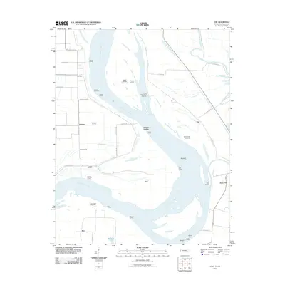 2011 Chic2011 Print · USGSThe Tennessee and Arkansas riverlands are captured here in the early twenty-first century, showing a landscape shaped by the Mississippi River. Researchers can trace old family names and sites like Buckner Cemetery, Hales Point, and the Needham Cutoff.
 - 2011 Map of Rosa, 2011 Print
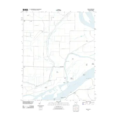 2011 Rosa2011 Print · USGSThe Mississippi River floodplain comes alive in this 2011 survey of the Arkansas-Tennessee border. Genealogists and local historians can trace family-named sites like Mann Cemetery and river access points including Sadie Lee Landing and Ashport.
 - 2011 Map of Nodena, 2011 Print
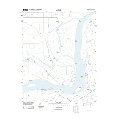 2011 Nodena2011 Print · USGSThe riverfronts of Arkansas and Tennessee meet here along the Mississippi during the early twenty-first century. Researchers can trace historic river landings and burial grounds such as Old Randolph Cemetery, Nodena, and Saw Mill Landing.
 - 2011 Map of Golddust, 2011 Print
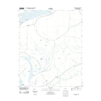 2011 Golddust2011 Print · USGSThe Tennessee-Arkansas borderlands come to life in this 2011 survey of the Mississippi River bottomlands. Researchers can locate family sites near Bates Cemetery, trace the old river bends of Jones Slough, and explore the river landing at Golddust.
 - 2011 Map of Armorel, 2011 Print
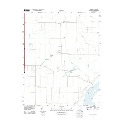 2011 Armorel2011 Print · USGSMississippi County at the start of the twenty-first century reveals a landscape defined by industrial drainage and riverfront life. Genealogists and local historians can trace family sites from Promised Land to the African Methodist Episcopal Cemetery and the uniquely named Number Nine.
 - 2011 Map of Open Lake, 2011 Print
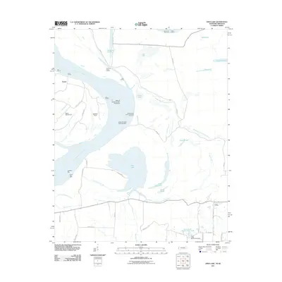 2011 Open Lake2011 Print · USGSThe Arkansas-Tennessee borderlands along the Mississippi River are shown here in the early twenty-first century, featuring riverfront landings and intricate bottomland bayous. Researchers can trace the river economy through Tomato Landing and Carr Landing, or find local family sites near Ashport Cemetery.
 - 2011 Map of Cottonwood Point, 2011 Print
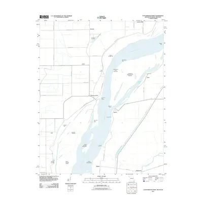 2011 Cottonwood Point2011 Print · USGSThe tri-state riverlands of Missouri, Tennessee, and Arkansas are shown here during the early twenty-first century as the Mississippi continues to shape the local geography. Researchers can trace riverside heritage at Cottonwood Point, locate the Taylor Cemetery, and explore historic water access points like Ayers Landing.
 - 2011 Map of Osceola, 2011 Print
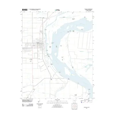 2011 Osceola2011 Print · USGSMississippi River industry and Arkansas delta settlements are detailed in this study of the Osceola area. Genealogists and local historians can trace the locations of Violet Cemetery, Driver Cemetery, and the riverfront Osceola Port Terminal.
 - 2011 Map of Luxora, 2011 Print
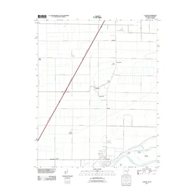 2011 Luxora2011 Print · USGSThe Mississippi River bottomlands near the Tennessee border are captured here just after the turn of the millennium. Researchers can trace rural cemeteries like Citizen Cemetery and small communities such as Burdette and Tuckertown.
 - 2011 Map of Steele, 2011 Print
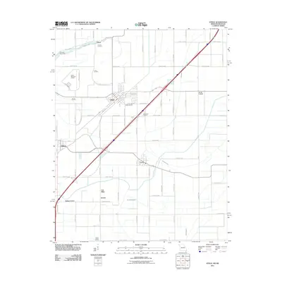 2011 Steele2011 Print · USGSThe Missouri Bootheel borderlands come into focus at a time when the region's agricultural and drainage networks were fully established. Genealogists and local historians can trace family locations through numerous sites like Hopkins Cemetery, Holley Cemetery, and Acorn Corner.
 - 2011 Map of Blytheville, 2011 Print
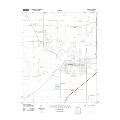 2011 Blytheville2011 Print · USGSBlytheville and the surrounding Delta farm country are shown here in the early twenty-first century, featuring a landscape defined by an extensive drainage ditch network. Researchers can locate numerous local burial grounds including Lane Cemetery and North Sawba Cemetery, or trace the prehistoric Chickasawba Mound.
 - 2011 Map of Caraway, 2011 Print
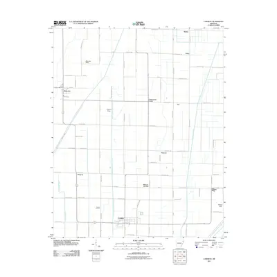 2011 Caraway2011 Print · USGSLeachville and the surrounding Arkansas delta country are shown here in the early twenty-first century, revealing an intricate landscape of drainage and farming. Genealogists and local historians can locate Caraway Cemetery and trace the small communities at Black Oak, Milligan Ridge, and Hancock Junction.
 - 2011 Map of Rivervale, 2011 Print
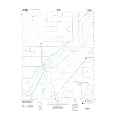 2011 Rivervale2011 Print · USGSNortheast Arkansas in the early twenty-first century reveals a highly managed river landscape shaped by drainage canals and rail lines. Genealogists and local historians can trace the positions of Rivervale, West Ridge, and Hawkins Cemetery among the chutes of the Little River.
 - 2011 Map of Etowah, 2011 Print
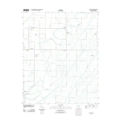 2011 Etowah2011 Print · USGSIn the fertile Arkansas Delta during the early twenty-first century, this map shows a landscape shaped by the Tyronza River and managed drainage. Genealogists and researchers can locate old burial grounds like Gant Cemetery and rural centers such as Bondsville and Athelstan.
 - 2011 Map of Wilson, 2011 Print
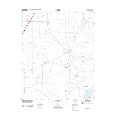 2011 Wilson2011 Print · USGSMississippi County agriculture and river life are captured here just after the turn of the millennium. Genealogists can trace family connections at Macedonia Cemetery and Golden Lake Cemetery, while navigating old landings like Howards Landing and Golden Lake Landing.
 - 2011 Map of Keiser, 2011 Print
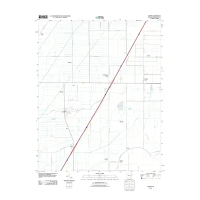 2011 Keiser2011 Print · USGSThe Arkansas delta south of Osceola is captured here in the early twenty-first century, showing a landscape of small agricultural settlements and rural road networks. Genealogists can locate family burial sites at Manchester Cemetery and Carson Cemetery or trace the growth of Keiser.
 - 2011 Map of Half Moon, 2011 Print
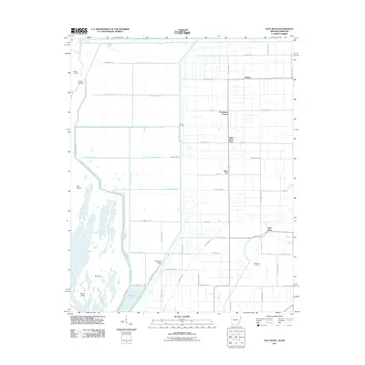 2011 Half Moon2011 Print · USGSMississippi County, Arkansas, is captured here in the early twenty-first century, showing a landscape defined by industrial-scale drainage and rural settlements. Trace local family history and landmarks like Wilkerson Cemetery, the Little Green Store, and Simmons Bridge.
 - 2011 Map of Tyronza, 2011 Print
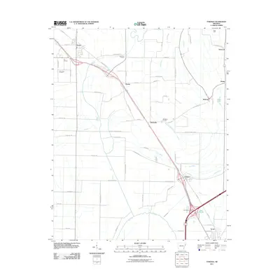 2011 Tyronza2011 Print · USGSThe Delta landscape of Poinsett and Crittenden Counties comes into focus in this recent survey of the Tyronza and Gilmore corridor. Local researchers can trace family landmarks like New Bethel Cemetery and Cherry Bean Cemetery or explore the rural reaches of Birdsong.
 - 2011 Map of Leachville, 2011 Print
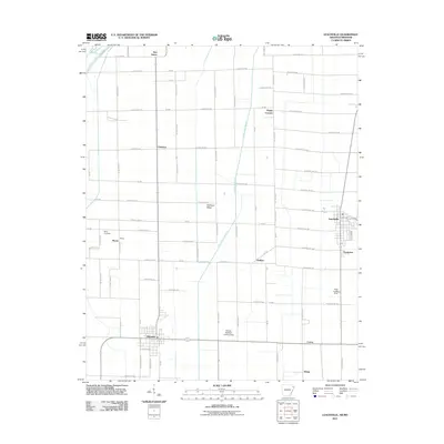 2011 Leachville2011 Print · USGSMississippi County, Arkansas, at the start of the 2010s shows a landscape of productive Delta farmland and small agricultural hubs. Trace family history and rural settlements at Leachville, Monette, and the historic Macy Cemetery near Kinnemore Slough.
 - 2011 Map of Manila South, 2011 Print
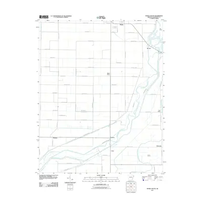 2011 Manila South2011 Print · USGSThe Mississippi County delta south of Manila is shown here in the early twenty-first century as a landscape of precision drainage and quiet rural outposts. Researchers can trace the junction of the Right Hand Chute Little River with historic settlements like Lost Cane and Whistleville.
 - 2011 Map of Frenchmans Bayou, 2011 Print
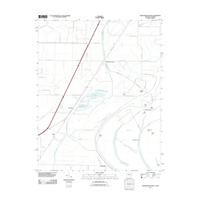 2011 Frenchmans Bayou2011 Print · USGSThe Mississippi River delta south of Joiner is captured here in the early twenty-first century, showing a landscape shaped by shifting waters and levee systems. Genealogists and local historians can trace family sites near Saint Thomas, Rupe Cemetery, and old river access points like Happy Valley Landing.
 - 2011 Map of Manila North, 2011 Print
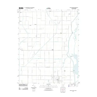 2011 Manila North2011 Print · USGSMississippi County at the Missouri border is defined by a sophisticated network of drainage ditches and small agricultural settlements. Researchers can trace the layout of Manila, locate the Box Elder Cemetery, and follow the winding path of the Little River.
 - 2011 Map of Lepanto, 2011 Print
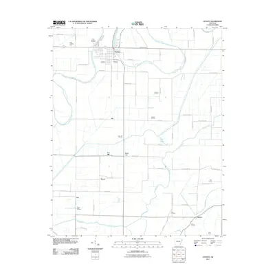 2011 Lepanto2011 Print · USGSLepanto and its neighboring delta settlements are mapped here in the early twenty-first century, showcasing the region's dense water-management landscape. Genealogists can trace family names through numerous burial sites like Whitton Cemetery, Spear Lake Cemetery, and Ward Cemetery.
 - 2011 Map of Pecan Point, 2011 Print
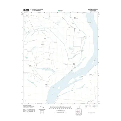 2011 Pecan Point2011 Print · USGSThe riverfront of Mississippi County is captured here just after the first decade of the new millennium. Researchers can trace the levee-protected lands of Deans Island and Pecan Point, locating family sites near Jacob Cemetery or riverfront markers like Black Cat Landing.
 - 2011 Map of Dell, 2011 Print
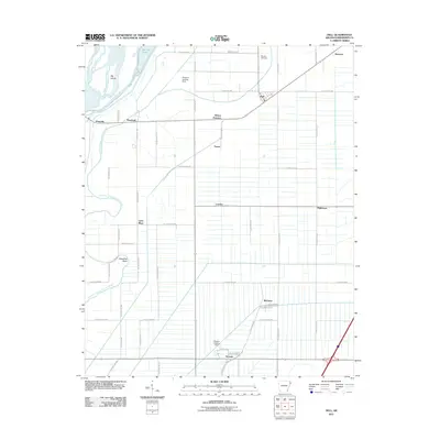 2011 Dell2011 Print · USGSThe Mississippi County delta is seen here at the start of the 2010s, showing a landscape shaped by drainage ditches and river chutes. Researchers can locate family landmarks like Mooney Cemetery and rural centers such as Dell and Wilson Junction.
Showing maps 1-25 of 83
Top cities of Mississippi County
- Blytheville historical maps
- Osceola historical maps
- Gosnell historical maps
- Manila historical maps
- Leachville historical maps
- Luxora historical maps
See more
Frequently asked questions
- What are the different types of historical maps available for Mississippi County?
- What is the oldest map of Mississippi County?
- Where can I purchase historical maps of Mississippi County for my home or office?
- Where can I download high-res historical maps of Mississippi County?
- Are there historical topographic maps available for Mississippi County?
- Is there historical aerial imagery available for Mississippi County?
- Where are historical maps of Mississippi County sourced from?