2020s Maps of Mississippi County, Arkansas
Explore 47 historic maps of Mississippi County from the 2020s. These maps offer a rare glimpse into what life looked like during the 2020s — showing old roads, neighborhoods, homes, and landmarks that have changed or disappeared over time.
Whether you're researching your family's past, planning a metal detecting trip, or studying how Mississippi County's landscape evolved across the 2020s, these high-resolution maps are a powerful tool for exploring the history of this region.
- Focus on a specific era: All maps on this page are from the 2020s, giving you a focused view of this time period.
- See what’s changed: Compare century-old streets, trails, and buildings to today's modern landscape using overlays and satellite layers.
- Research with precision: Use these maps for genealogy, historical research, land use analysis, or educational projects.
- View, download, or print: Maps are fully viewable online in high resolution, and can be downloaded or printed for your own records.
Start exploring Mississippi County's history through authentic maps from the 2020s. This is your window into the past.
Mississippi County, AR maps
(47)- 2020 Map of Osceola, 2020 Print
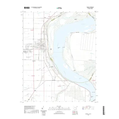 2020 Osceola2020 Print · USGSThe Mississippi River delta in the late 2010s reveals a landscape shaped by water and agriculture. Researchers can trace family roots at Mississippi County Memorial Gardens or explore the river's geography at Plum Point Reach and Sans Souci.
 - 2020 Map of Blytheville, 2020 Print
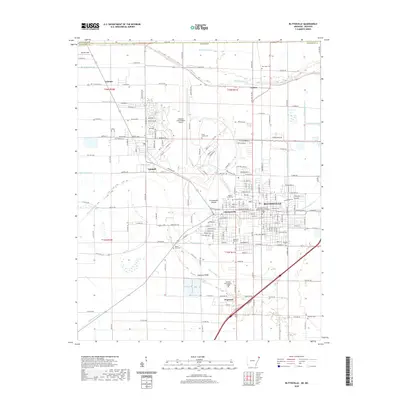 2020 Blytheville2020 Print · USGSBlytheville and the surrounding Mississippi County farmland are shown here at the start of the 2020s, highlighting the area's complex drainage and civic infrastructure. Researchers can locate the Blytheville Courthouse, the ancient Chickasawba Mound, and many local burial grounds like Mount Zion Cem.
 - 2020 Map of Nodena, 2020 Print
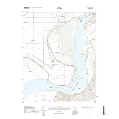 2020 Nodena2020 Print · USGSThe riverfronts of Lauderdale and Tipton Counties are captured here during a time of modern rural life along the Mississippi. Genealogists can locate family sites at Old Randolph Cem and Nodena Cem, or trace the winding course of the Hatchie River.
 - 2020 Map of Luxora, 2020 Print
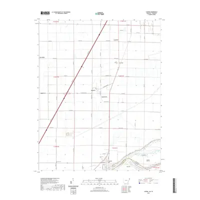 2020 Luxora2020 Print · USGSThe Arkansas Delta and the Mississippi River shoreline are captured here as they appeared in 2020. Local researchers can trace family roots through rural cemeteries like New Salem Cem and Citizen Cem or locate the historic river landings near Luxora.
 - 2020 Map of Armorel, 2020 Print
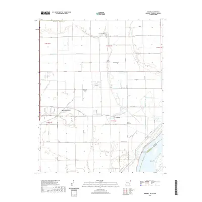 2020 Armorel2020 Print · USGSBlytheville and the eastern delta lands of Mississippi County are shown here as they appeared in 2020. Genealogists and local historians can locate Number Nine, the African Methodist Episcopal Cem, and the riverfront at Barfield Bend.
 - 2020 Map of Rosa, 2020 Print
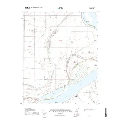 2020 Rosa2020 Print · USGSThe Mississippi River border between Tennessee and Arkansas is captured here in recent years, revealing a landscape shaped by shifting water and agricultural levees. Researchers can locate family burial sites at Rosa Cem and Steger Cem or trace the river's edge past Ashport Bar and Tomato.
 - 2020 Map of Leachville, 2020 Print
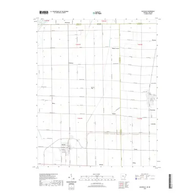 2020 Leachville2020 Print · USGSThe Arkansas-Missouri borderlands come into focus in this contemporary survey of the drainage-dependent landscape between Monette and Leachville. Researchers can trace rural cemeteries like Macy Cem and the small settlements of Old Town Ridge and Delfore.
 - 2020 Map of Etowah, 2020 Print
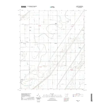 2020 Etowah2020 Print · USGSMississippi County at the turn of the decade reveals an intricate landscape of Delta farmland reclaimed from the Tyronza Sunk Lands. Researchers can trace the rural layout of small settlements like Bondsville and Athelstan alongside local landmarks such as Gant Cem.
 - 2020 Map of Joiner, 2020 Print
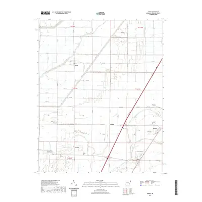 2020 Joiner2020 Print · USGSMississippi County’s agricultural heartland is documented here in the early twenty-first century. Genealogists and historians can trace local family landmarks through sites like Saint Marys Cem, Dyess, and Mount Pisby Cem.
 - 2020 Map of Tyronza, 2020 Print
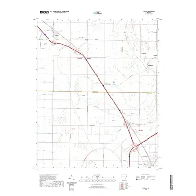 2020 Tyronza2020 Print · USGSThe Arkansas delta near the Poinsett and Crittenden county lines is captured here in recent years as a landscape of interconnected bayous and rural settlements. Researchers can trace local history through sites like Cherry Bean Cem and the communities of Birdsong and Tyronza.
 - 2020 Map of Manila South, 2020 Print
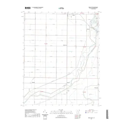 2020 Manila South2020 Print · USGSMississippi County farmland meets the managed wetlands of the Little River basin in this modern survey of the Arkansas Delta. Researchers can trace rural settlement patterns through local sites like Brinkley Cem and small communities such as Floodway, Mandalay, and Whistleville.
 - 2020 Map of Frenchmans Bayou, 2020 Print
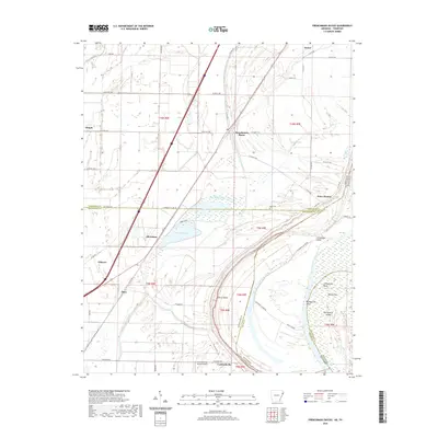 2020 Frenchmans Bayou2020 Print · USGSThe riverfront communities of Mississippi and Crittenden counties are shown here as they appeared in the early 2020s. Researchers can trace local landmarks like Rupe Cem or explore the shifting geography of Devils Elbow and Meneshea Lake.
 - 2020 Map of Rivervale, 2020 Print
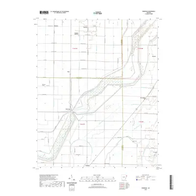 2020 Rivervale2020 Print · USGSThe Arkansas Delta comes into focus in this contemporary survey of the fertile plains surrounding Rivervale and Caraway. Researchers can trace the sophisticated drainage network of Ditch Number 12 and locate local landmarks like Hawkins Cem.
 - 2020 Map of Caraway, 2020 Print
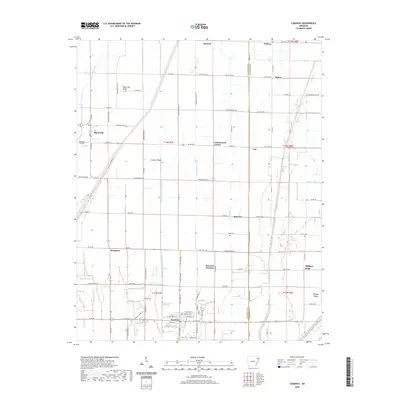 2020 Caraway2020 Print · USGSAgricultural life in Northeastern Arkansas is centered here around the well-drained plains of Craighead and Mississippi Counties. Researchers can trace local landmarks like Caraway Cem, the Hickman Airport, and small settlements including Milligan Ridge and Black Oak.
 - 2020 Map of Manila North, 2020 Print
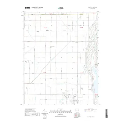 2020 Manila North2020 Print · USGSThe Missouri-Arkansas border region in the early twenty-first century is defined by an intricate network of drainage canals and small agricultural settlements. Researchers can trace the layout of Manila and Leachville, or locate family sites near Box Elder Cem and Boynton.
 - 2020 Map of Half Moon, 2020 Print
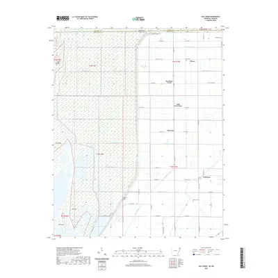 2020 Half Moon2020 Print · USGSNear the Arkansas and Missouri border, this recent survey captures the reclaimed wetlands of the Mississippi River floodplain. Genealogists and local historians can trace the rural communities of Half Moon, Stark City, and the site of Wilkerson Cem.
 - 2020 Map of Pecan Point, 2020 Print
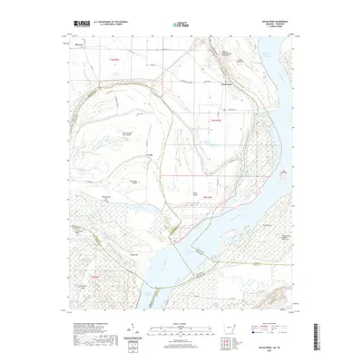 2020 Pecan Point2020 Print · USGSThe shifting channels of the Mississippi River define this borderland between Arkansas and Tennessee. Genealogists and river historians can trace family burial grounds at Jacob Cem and explore the historic reaches of Centennial Island and Pecan Point.
 - 2020 Map of Wilson, 2020 Print
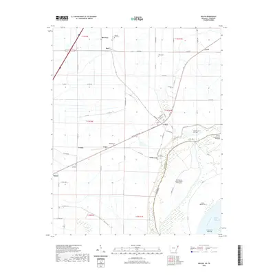 2020 Wilson2020 Print · USGSThe Mississippi River Delta in Eastern Arkansas is captured here during a period of modern agricultural stability and river management. Genealogists and local historians can locate rural landmarks like Golden Lake Cem, the community of Driver, and the residential streets of Wilson.
 - 2020 Map of Lepanto, 2020 Print
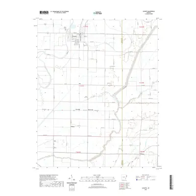 2020 Lepanto2020 Print · USGSEastern Arkansas delta life and the Tyronza River basin are documented here in recent years. Researchers can trace family roots through numerous burial grounds like Potter Memorial Cem, Rock of Ages Cem, and Whitton Cem.
 - 2020 Map of Dell, 2020 Print
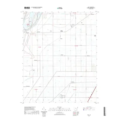 2020 Dell2020 Print · USGSMississippi County in the late twenty-teens is defined by its drainage systems and small delta settlements. Genealogists can trace family roots through locations like Victoria, Shady Grove Cem, and the historic street layout of Dell.
 - 2020 Map of Keiser, 2020 Print
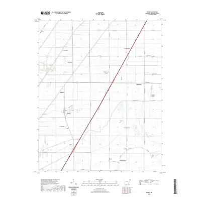 2020 Keiser2020 Print · USGSThe alluvial plains of Mississippi County are shown here in modern detail, highlighting the town of Keiser and the rural reaches of Osceola. Researchers can trace local lineage at several family and community burial sites like Manchester Cem and Little Bethlehem Cem.
 - 2021 Map of Steele, 2021 Print
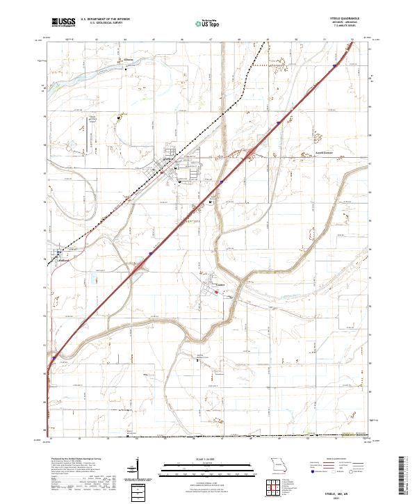 2021 Steele2021 Print · USGSPemiscot County, Missouri, is shown here in the early 2020s, dominated by the drainage systems and rail-side settlements of the Bootheel. Researchers can locate numerous local burial sites like Holly Cem and Mount Zion Cem or trace the industrial layout of Steele.
 - 2021 Map of Cottonwood Point, 2021 Print
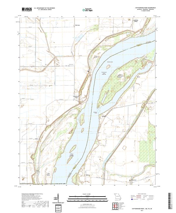 2021 Cottonwood Point2021 Print · USGSThe Missouri Bootheel and Tennessee borderlands meet here along the sweeping bends of the river. Researchers can trace family sites like Hickman Cem and the small settlements of Cottonwood Point and Heloise.
 - 2022 Map of Chic, 2022 Print
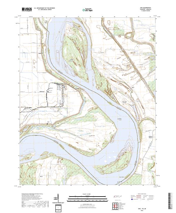 2022 Chic2022 Print · USGSDyer County and the Mississippi River bottoms are captured here in a time of modern river management and rural tradition. Genealogists can locate Buckner Cem or Walker Cem, while historians trace the river's path through Chic and the Needham Cutoff.
 - 2022 Map of Golddust, 2022 Print
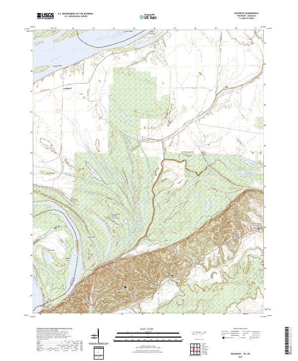 2022 Golddust2022 Print · USGSThe Tennessee-Arkansas river border in the early 2020s shows a landscape of active river bars and lowland sloughs. Genealogists and historians can trace local family landmarks such as Bates Family Cem, Samuels Cem, and the settlement of Golddust.
Showing maps 1-25 of 47
Top cities of Mississippi County
- Blytheville historical maps
- Osceola historical maps
- Gosnell historical maps
- Manila historical maps
- Leachville historical maps
- Luxora historical maps
See more
Frequently asked questions
- What are the different types of historical maps available for Mississippi County?
- What is the oldest map of Mississippi County?
- Where can I purchase historical maps of Mississippi County for my home or office?
- Where can I download high-res historical maps of Mississippi County?
- Are there historical topographic maps available for Mississippi County?
- Is there historical aerial imagery available for Mississippi County?
- Where are historical maps of Mississippi County sourced from?