2020s Maps of Newton County, Arkansas
Explore 48 historic maps of Newton County from the 2020s. These maps offer a rare glimpse into what life looked like during the 2020s — showing old roads, neighborhoods, homes, and landmarks that have changed or disappeared over time.
Whether you're researching your family's past, planning a metal detecting trip, or studying how Newton County's landscape evolved across the 2020s, these high-resolution maps are a powerful tool for exploring the history of this region.
- Focus on a specific era: All maps on this page are from the 2020s, giving you a focused view of this time period.
- See what’s changed: Compare century-old streets, trails, and buildings to today's modern landscape using overlays and satellite layers.
- Research with precision: Use these maps for genealogy, historical research, land use analysis, or educational projects.
- View, download, or print: Maps are fully viewable online in high resolution, and can be downloaded or printed for your own records.
Start exploring Newton County's history through authentic maps from the 2020s. This is your window into the past.
Newton County, AR maps
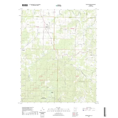
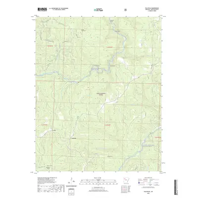
(48)- 2020 Map of Jasper, 2020 Print
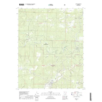 2020 Jasper2020 Print · USGSCovers Newton County, including Jasper, Erbie, and other nearby areas
 - 2020 Map of Osage, 2020 Print
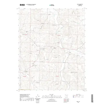 2020 Osage2020 Print · USGSCovers Newton County, including Conner, Gobbler, and other nearby areas
 - 2020 Map of Osage SW, 2020 Print
 2020 Osage SW2020 Print · USGSCovers Newton County, including George, Dinsmore, and other nearby areas
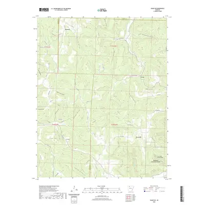
 - 2020 Map of Ponca, 2020 Print
 2020 Ponca2020 Print · USGSCovers Newton County, including Ponca, Mount Sherman, and other nearby areas
 - 2020 Map of Western Grove, 2020 Print
 2020 Western Grove2020 Print · USGSCovers Newton County, including Western Grove, Pindall, and other nearby areas
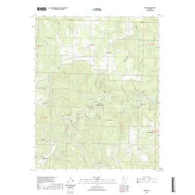
 - 2020 Map of Eula, 2020 Print
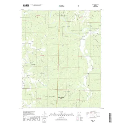 2020 Eula2020 Print · USGSCovers Newton County, including Flat, Woolum, and other nearby areas
 - 2020 Map of Parthenon, 2020 Print
 2020 Parthenon2020 Print · USGSCovers Newton County, including Red Rock, Parthenon, and other nearby areas
 - 2020 Map of Murray, 2020 Print
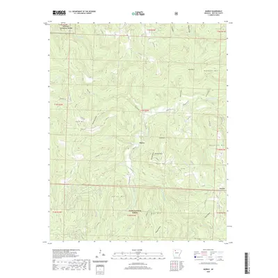 2020 Murray2020 Print · USGSCovers Newton County, including Shiloh, Murray, and other nearby areas
 - 2020 Map of Fort Douglas, 2020 Print
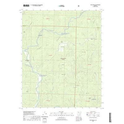 2020 Fort Douglas2020 Print · USGSCovers Newton County, including Bertha, Dillen, and other nearby areas
 - 2020 Map of Oark, 2020 Print
 2020 Oark2020 Print · USGSCovers Newton County, including Catalpa, Oark, and other nearby areas
 - 2020 Map of Rosetta, 2020 Print
 2020 Rosetta2020 Print · USGSCovers Newton County, including Rosetta, Garber, and other nearby areas
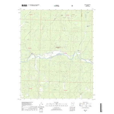
 - 2020 Map of Deer, 2020 Print
 2020 Deer2020 Print · USGSCovers Newton County, including Chancel, Pleasant Hill, and other nearby areas
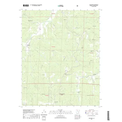
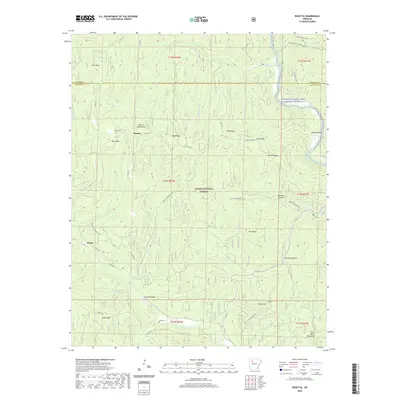
 - 2020 Map of Weathers, 2020 Print
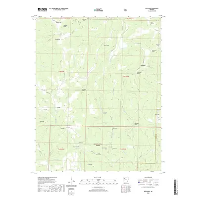 2020 Weathers2020 Print · USGSCovers Newton County, including Reynolds, Weathers, and other nearby areas
 - 2020 Map of Sand Gap, 2020 Print
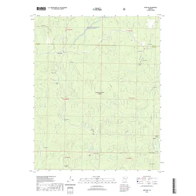 2020 Sand Gap2020 Print · USGSCovers Newton County, including Freeman Springs, Victor, and other nearby areas
 - 2020 Map of Boxley, 2020 Print
 2020 Boxley2020 Print · USGSCovers Newton County, including Reeves, Boxley, and other nearby areas
 - 2020 Map of Boston, 2020 Print
 2020 Boston2020 Print · USGSCovers Newton County, including Boston, Arbaugh, and other nearby areas
 - 2020 Map of Swain, 2020 Print
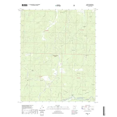
 2020 Swain2020 Print · USGSCovers Newton County, including Limestone, Edwards Junction, and other nearby areas
 - 2020 Map of Fallsville, 2020 Print
 2020 Fallsville2020 Print · USGSCovers Newton County, including Fallsville, Loafer, and other nearby areas
 - 2020 Map of Mount Judea, 2020 Print
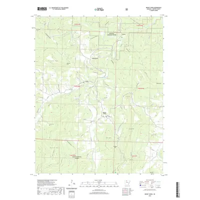 2020 Mount Judea2020 Print · USGSCovers Newton County, including Piercetown, Vendor, and other nearby areas
 - 2020 Map of Lurton, 2020 Print
 2020 Lurton2020 Print · USGSCovers Newton County, including Spence Junction, Lurton, and other nearby areas
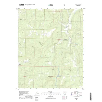
 - 2020 Map of Ozone, 2020 Print
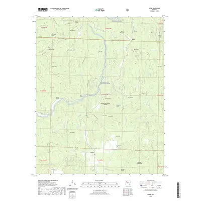 2020 Ozone2020 Print · USGSCovers Newton County, including Hickory Flat, Salus, and other nearby areas
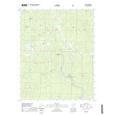
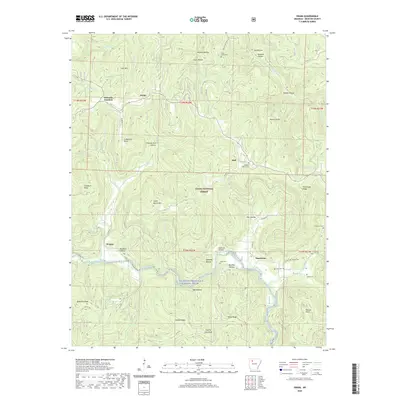
 - 2020 Map of Moore, 2020 Print
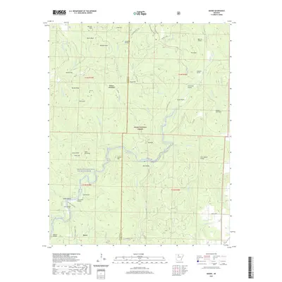 2020 Moore2020 Print · USGSCovers Newton County, including Moore, Dickey Junction, and other nearby areas
 - 2020 Map of Hasty, 2020 Print
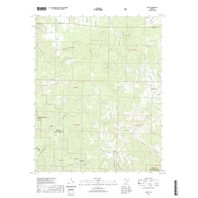 2020 Hasty2020 Print · USGSCovers Newton County, including Hasty, Yardelle, and other nearby areas
 - 2020 Map of Smyrna, 2020 Print
 2020 Smyrna2020 Print · USGSCovers Newton County, including Smyrna, Raspberry, and other nearby areas
 - 2024 Map of Western Grove, 2024 Print
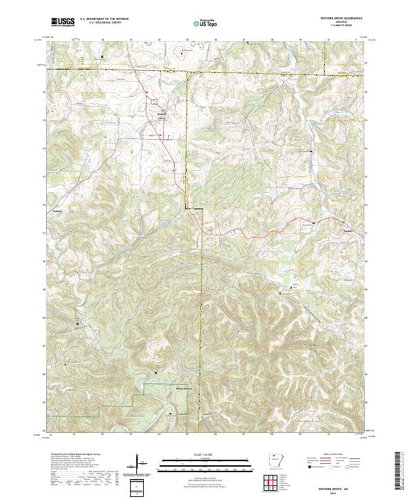 2024 Western Grove2024 Print · USGSNewton and Searcy counties are captured in the modern era as they border the Buffalo National River and its rugged valley. Genealogists can trace early homestead sites and family burials at Aydelotte Cem, Kilbum Cem, and the old settlement at Mount Hersey.
Showing maps 1-25 of 48
Top cities of Newton County
Frequently asked questions
- What are the different types of historical maps available for Newton County?
- What is the oldest map of Newton County?
- Where can I purchase historical maps of Newton County for my home or office?
- Where can I download high-res historical maps of Newton County?
- Are there historical topographic maps available for Newton County?
- Is there historical aerial imagery available for Newton County?
- Where are historical maps of Newton County sourced from?