2010s Maps of Newton County, Arkansas
Explore 72 historic maps of Newton County from the 2010s. These maps offer a rare glimpse into what life looked like during the 2010s — showing old roads, neighborhoods, homes, and landmarks that have changed or disappeared over time.
Whether you're researching your family's past, planning a metal detecting trip, or studying how Newton County's landscape evolved across the 2010s, these high-resolution maps are a powerful tool for exploring the history of this region.
- Focus on a specific era: All maps on this page are from the 2010s, giving you a focused view of this time period.
- See what’s changed: Compare century-old streets, trails, and buildings to today's modern landscape using overlays and satellite layers.
- Research with precision: Use these maps for genealogy, historical research, land use analysis, or educational projects.
- View, download, or print: Maps are fully viewable online in high resolution, and can be downloaded or printed for your own records.
Start exploring Newton County's history through authentic maps from the 2010s. This is your window into the past.
Newton County, AR maps
(72)- 2011 Map of Eula, 2011 Print
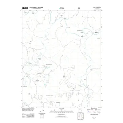 2011 Eula2011 Print · USGSNewton County's winding river valleys and high Ozark ridges appear here in the early 2000s, showing a landscape defined by its rural settlements and family heritage. Genealogists can locate numerous burial grounds like Old Dodson Cemetery and Hall Cemetery alongside landmarks like the Bass Post Office.
 - 2011 Map of Moore, 2011 Print
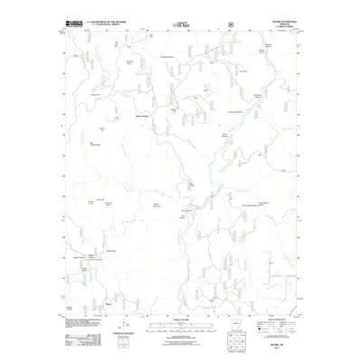 2011 Moore2011 Print · USGSNewton County in the early twenty-first century reveals a landscape of high ridges and deep hollows around the Richland Creek watershed. Researchers can locate remote family landmarks like Hill Cemetery, Hideout Hollow, and the rural crossroads at Dickey Junction.
 - 2011 Map of Hasty, 2011 Print
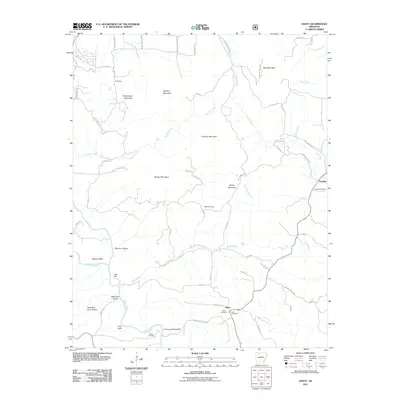 2011 Hasty2011 Print · USGSNewton County's river valleys and high ridges are documented here during the early twenty-first century. Genealogists and local historians can trace family sites like Agee Cemetery near Hasty or landmarks such as Chimney Rock Bluff and Boat Mountain.
 - 2011 Map of Smyrna, 2011 Print
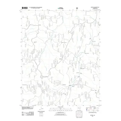 2011 Smyrna2011 Print · USGSSmyrna and the northern Pope County highlands are mapped here in the early twenty-first century, showing a landscape of deep hollows and Ozark streams. Genealogists can locate family landmarks such as Dave Millsaps Hollow and several rural burial sites, including Old Smyrna Cemetery.
 - 2011 Map of Osage, 2011 Print
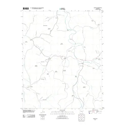 2011 Osage2011 Print · USGSCarroll County’s rural uplands are shown in detail during the early 2010s, mapping the winding creeks and hollows of the Ozarks. Genealogists can locate family landmarks like the Sisco Cemetery and Snead Cemetery near settlements like Osage and Gobbler.
 - 2011 Map of Jasper, 2011 Print
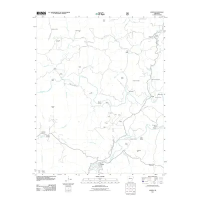 2011 Jasper2011 Print · USGSNewton County as it appeared in the early twenty-first century shows a landscape of deep hollows and river bends along the Buffalo River. Genealogists can trace family heritage through numerous burial sites including Shaddox Cemetery, Pruitt Cemetery, and Stringtown Cemetery.
 - 2011 Map of Ponca, 2011 Print
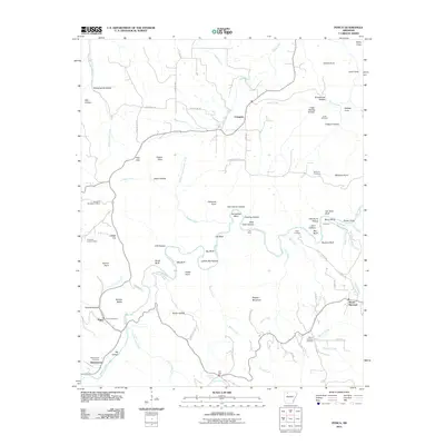 2011 Ponca2011 Print · USGSThe Buffalo River valley and the Ozark highlands are captured here in the early twenty-first century. Genealogists and local historians can locate family burial grounds like Jones Cemetery and Mountain Springs Cemetery or trace old routes to Kyles Landing and Camp Orr.
 - 2011 Map of Osage SW, 2011 Print
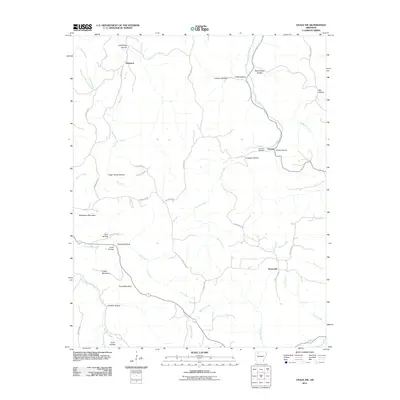 2011 Osage SW2011 Print · USGSNewton County's Ozark highlands are captured here in the early twenty-first century, showing a landscape of high ridges and deep hollows. Family historians can trace ancestral lands near George, Stoverville, or the Hopewell Cemetery.
 - 2011 Map of Boston, 2011 Print
 2011 Boston2011 Print · USGSThe headwaters of the Kings and White Rivers come into focus during the early twenty-first century in this part of Madison County. Local historians can trace old homestead sites near Red Star and Arbaugh or locate family plots at Ratford Cemetery and Buckhorn Cemetery.
 - 2011 Map of Parthenon, 2011 Print
 2011 Parthenon2011 Print · USGSThe Little Buffalo River valley of Newton County is documented here during the early twenty-first century. Genealogists can trace family names through local landmarks like Union Hill Cemetery, Parthenon, and the high points of Judea Mountain.
 - 2011 Map of Weathers, 2011 Print
 2011 Weathers2011 Print · USGSMadison County in the early twenty-first century remains a landscape of isolated hollows and high ridges centered on the Kings River. Genealogists can trace family names at Dripping Springs Cemetery, Eagle Gap Cemetery, and the settlement of Venus.
 - 2011 Map of Swain, 2011 Print
 2011 Swain2011 Print · USGSNewton County's Ozark highlands are captured here during a period of enduring rural character. Genealogists and local historians can locate several family burial sites like Lone Hill Cemetery and Ogden Cemetery near the settlements of Limestone and Swain.
 - 2011 Map of Murray, 2011 Print
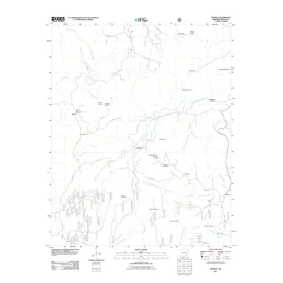 2011 Murray2011 Print · USGSNewton County's high ridges and river forks are captured here in the early twenty-first century, showing a landscape of small upland settlements and steep hollows. Researchers can trace family roots at Shiloh and Rich Cemetery, or locate old homesites near Murray and Wayton.
 - 2011 Map of Sand Gap, 2011 Print
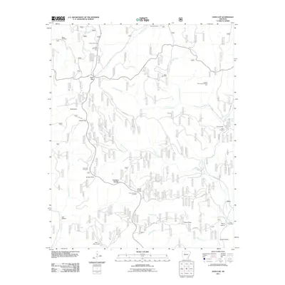 2011 Sand Gap2011 Print · USGSThe Ozark highlands of Pope County appear here in the early twenty-first century as a network of ridges and isolated settlements. Genealogists and local historians can locate Freeman Springs Cemetery, the Pelsor Post Office, and landmarks like Fairview Fire Tower.
 - 2011 Map of Boxley, 2011 Print
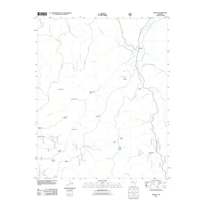 2011 Boxley2011 Print · USGSNewton County's high Ozark country is captured here during the early 2000s, centered on the Buffalo River valley. Researchers can trace family history through the Whiteley Cemetery and early settlements like Boxley, Mossville, and Ryker.
 - 2011 Map of Fallsville, 2011 Print
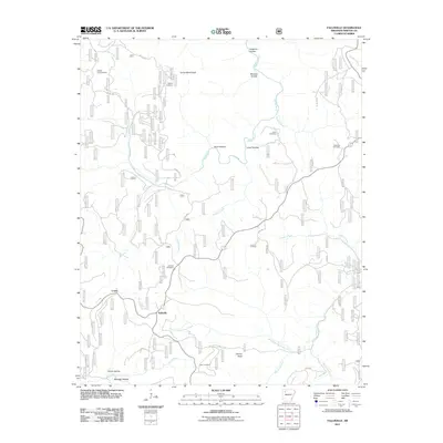 2011 Fallsville2011 Print · USGSThe Newton County uplands come into focus in this 2011 survey, showing the headwaters of the Buffalo River and Big Piney Creek. Local historians can trace family burial sites like Kapark Cemetery and Sullivan Cemetery or locate the Buffalo Lookout Tower near Fallsville.
 - 2011 Map of Rosetta, 2011 Print
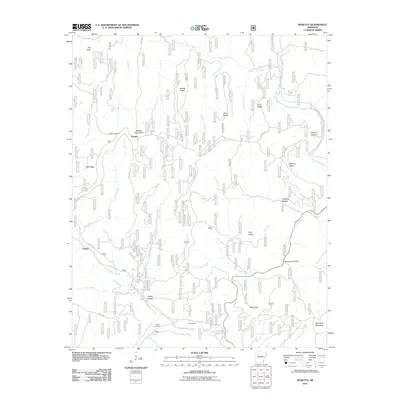 2011 Rosetta2011 Print · USGSThe Boston Mountains of Johnson County are shown here in the early twenty-first century, centered on the highland settlement of Rosetta. Local researchers can locate family burial sites at Rosetta Cemetery and Union Cemetery or trace the winding paths of Big Piney Creek and Little Piney Creek.
 - 2011 Map of Fort Douglas, 2011 Print
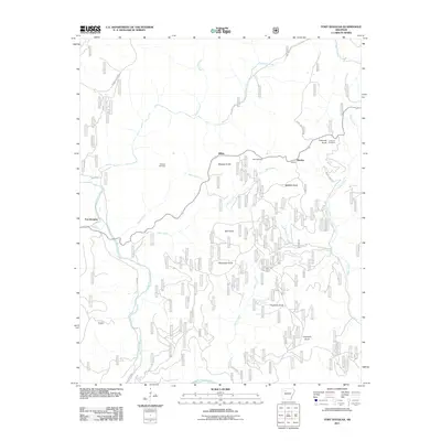 2011 Fort Douglas2011 Print · USGSPope County’s upland terrain is captured here in the early 21st century, showing a landscape of isolated knobs and deep creek valleys. Researchers can locate family burial sites at Wheeler Cemetery and Self Cemetery or trace the early paths of Big Piney Creek.
 - 2011 Map of Lurton, 2011 Print
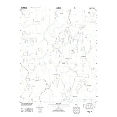 2011 Lurton2011 Print · USGSNewton County's high ridges and deep hollows are captured here during the early 2000s, showing a landscape defined by its rugged topography. Genealogists and hikers can locate quiet sites like Tarlton Cemetery and the prominent bluff of Sams Throne.
 - 2011 Map of Mount Judea, 2011 Print
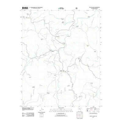 2011 Mount Judea2011 Print · USGSNewton County's high ridges and river valleys are captured here in the early twenty-first century, centered on the historic mountain community of Mount Judea. Researchers can locate numerous family burial sites such as Smith Cemetery and Ricketts Cemetery alongside the winding Buffalo River.
 - 2011 Map of Oark, 2011 Print
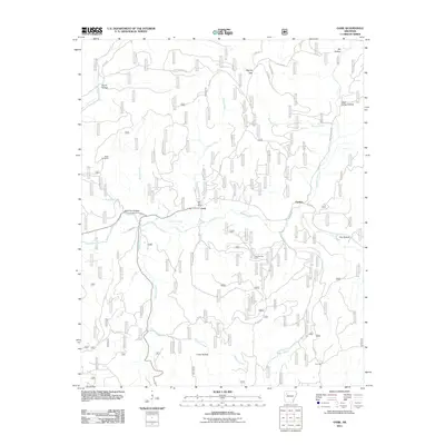 2011 Oark2011 Print · USGSThe northern Arkansas Ozarks at the start of the 2010s are defined here by river-valley settlements and forest roads. Trace local history through the Oark Post Office, Miller Cemetery, and industrial sites like the Low Gap Gas Field.
 - 2011 Map of Ozone, 2011 Print
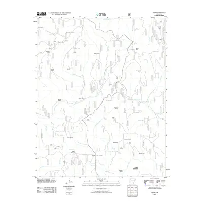 2011 Ozone2011 Print · USGSThe Arkansas Ozarks are captured here during the early twenty-first century, showcasing a landscape of high ridges and isolated settlements. Researchers can locate family landmarks like the Gillian Settlement, Hignite Cemetery, and the Devils Knob Lookout Tower.
 - 2011 Map of Western Grove, 2011 Print
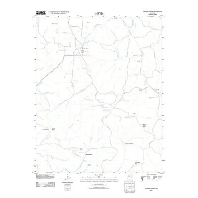 2011 Western Grove2011 Print · USGSSettlement and industry across the Ozark plateau come into focus during this 2011 survey. Researchers can trace family history at burial sites like Wilbourn Cemetery and Pinhook Cemetery or locate old industrial markers such as Hurricane Mine and Mount Hersey.
 - 2011 Map of Deer, 2011 Print
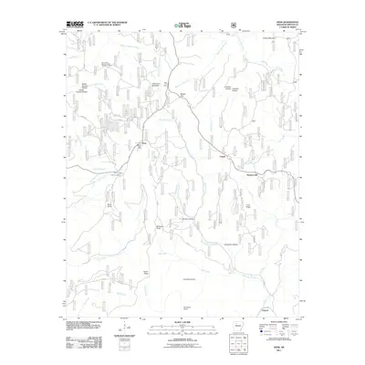 2011 Deer2011 Print · USGSThe Newton County highlands come into focus here during the early twenty-first century, showing a landscape of remote ridges and deep hollows. Genealogists and hikers can trace local landmarks like Deer Cemetery, Millsaps Knob, and the Deer Fire Tower.
 - 2014 Map of Eula, 2014 Print
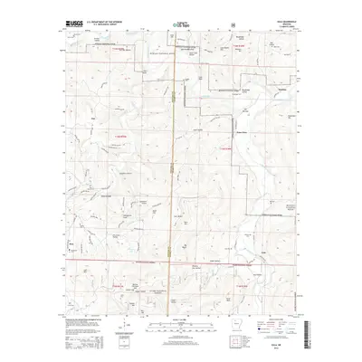 2014 Eula2014 Print · USGSNewton and Searcy counties are shown here in the mid-2010s, where the Buffalo River cuts through the Ozark highlands. Genealogists and hikers can trace remote burial sites like Hensley Cem or explore landmarks like Point Peter and Woolum.
Showing maps 1-25 of 72
Top cities of Newton County
Frequently asked questions
- What are the different types of historical maps available for Newton County?
- What is the oldest map of Newton County?
- Where can I purchase historical maps of Newton County for my home or office?
- Where can I download high-res historical maps of Newton County?
- Are there historical topographic maps available for Newton County?
- Is there historical aerial imagery available for Newton County?
- Where are historical maps of Newton County sourced from?