2020s Maps of Phillips County, Arkansas
Explore 48 historic maps of Phillips County from the 2020s. These maps offer a rare glimpse into what life looked like during the 2020s — showing old roads, neighborhoods, homes, and landmarks that have changed or disappeared over time.
Whether you're researching your family's past, planning a metal detecting trip, or studying how Phillips County's landscape evolved across the 2020s, these high-resolution maps are a powerful tool for exploring the history of this region.
- Focus on a specific era: All maps on this page are from the 2020s, giving you a focused view of this time period.
- See what’s changed: Compare century-old streets, trails, and buildings to today's modern landscape using overlays and satellite layers.
- Research with precision: Use these maps for genealogy, historical research, land use analysis, or educational projects.
- View, download, or print: Maps are fully viewable online in high resolution, and can be downloaded or printed for your own records.
Start exploring Phillips County's history through authentic maps from the 2020s. This is your window into the past.
Phillips County, AR maps
(48)- 2020 Map of Aubrey, 2020 Print
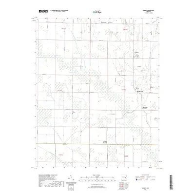 2020 Aubrey2020 Print · USGSLee County, Arkansas, at the dawn of the 2020s remains a region of quiet rural settlements and established family farms. Local historians can trace cemetery locations like Holland Cem and Spring Creek Cem or explore the road networks of Aubrey and Turkey Scratch.
 - 2020 Map of Rondo, 2020 Print
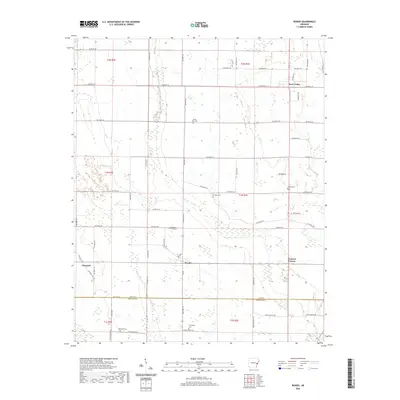 2020 Rondo2020 Print · USGSThe rural agricultural landscapes of Lee and Phillips Counties are captured here in the early 2000s, centered on the community of Rondo. Local historians can trace family locations through several named burial grounds, including Mount Zion Cem and Possum Trot Cem.
 - 2020 Map of Marvell, 2020 Print
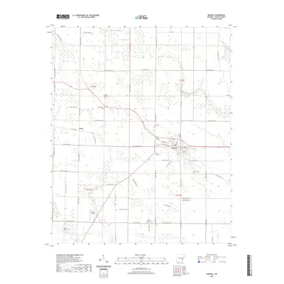 2020 Marvell2020 Print · USGSMarvell and the rural reaches of Phillips County are documented here in the early twenty-first century. Genealogists can trace family landmarks and burial sites including Mount Mariah Cem, Ashberry Cem, and the settlement at Hicks.
 - 2020 Map of Monroe, 2020 Print
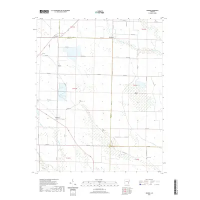 2020 Monroe2020 Print · USGSThe rural landscape of eastern Arkansas is documented here in the early twenty-first century as it spans the borders of Lee, Monroe, and Phillips counties. Genealogists can locate family sites such as Whitehall Cem or Bonds Cem near the settlements of Monroe and Blackton.
 - 2020 Map of Pine City, 2020 Print
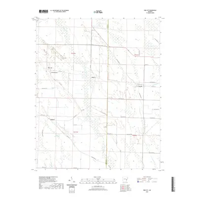 2020 Pine City2020 Print · USGSThe Delta wetlands of Monroe and Phillips counties appear in detail here during the early twenty-first century. Researchers can locate small rural centers like B B Junction and Postelle while tracing family sites at Union Cem or Saint Marks Cem.
 - 2020 Map of La Grange, 2020 Print
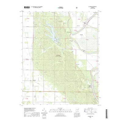 2020 La Grange2020 Print · USGSThe eastern Arkansas bottomlands and Crowley's Ridge meet here in the 2020s, showing a landscape defined by the Saint Francis River and the St. Francis National Forest. Researchers can locate several rural cemeteries including Morning Star Cem and Honor Hill Cem or trace settlements like Jeffersonville.
 - 2020 Map of Helena, 2020 Print
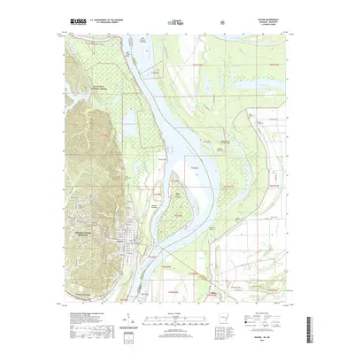 2020 Helena2020 Print · USGSThe Arkansas-Mississippi border comes alive in this contemporary survey of the delta region near Helena-West Helena. Genealogists and local historians can trace the locations of Phillips County Courthouse, Maple Hill Cem, and rural sites like Pilgrim Rest Cem.
 - 2020 Map of Turner, 2020 Print
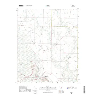 2020 Turner2020 Print · USGSThe Arkansas Delta east of the White River is documented here in the early twenty-first century as a land of bayous and scattered farm hamlets. Researchers can trace local roots at Valley Grove Cem or follow old roadbeds through Cross Roads and Indian Bay.
 - 2020 Map of Lambrook, 2020 Print
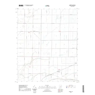 2020 Lambrook2020 Print · USGSPhillips County in the contemporary era reveals a landscape defined by its Delta hydrology and agricultural heritage. Trace the path of the Delta Heritage Trail between Ratio and Mary Spur, or explore the many bayous including Bear Bayou.
 - 2020 Map of Indian Bay SE, 2020 Print
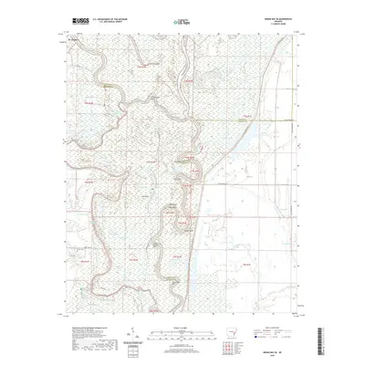 2020 Indian Bay SE2020 Print · USGSThe Arkansas riverlands near St. Charles are shown here in modern detail, where the White River creates a complex system of oxbows and islands. Researchers can trace local burial sites like Jones Cem and Chute Cem tucked among the banks of Big Island Lake.
 - 2020 Map of Henrico NE, 2020 Print
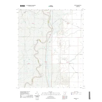 2020 Henrico NE2020 Print · USGSThe river border between Arkansas and Phillips counties is shown here in the 2020s, dominated by a winding network of oxbows and sloughs. Researchers can trace land markers like Girard Ranch or navigate the water-logged terrain of Jackass Point and the Champion Cypress Trail.
 - 2020 Map of Watkins Corner, 2020 Print
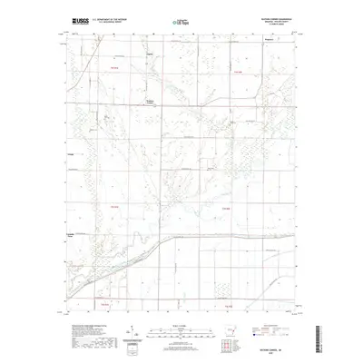 2020 Watkins Corner2020 Print · USGSThe Phillips County delta remains a landscape defined by its waterways and small farming communities in this recent survey. Genealogists can locate family burial sites at Mount Zion Cem or Taylor Cem and trace the rural road network connecting Cypert and Watkins Corner.
 - 2020 Map of Lexa, 2020 Print
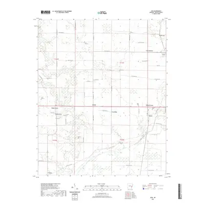 2020 Lexa2020 Print · USGSEastern Arkansas farmland near the Mississippi River delta shows a dense network of rural communities and historic burial sites. Genealogists can trace family names at Saint James Cem or Hell Cem and explore old routes like Old Little Rock Rd.
 - 2020 Map of Elaine, 2020 Print
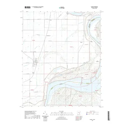 2020 Elaine2020 Print · USGSThe Arkansas Delta meets the Mississippi River in the early twenty-first century, revealing a landscape of river bends and rural settlements. Trace family roots and local history through Elaine, Hoop Spur, and historic sites like Saint Peter Cem or Jones Cem.
 - 2020 Map of Snow Lake, 2020 Print
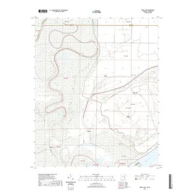 2020 Snow Lake2020 Print · USGSThe Mississippi River delta in Desha County remains a land of shifting bayous and levee-protected settlements in this recent survey. Local historians can trace family roots at Gum Grove Cem or Henrico Cem and locate the small communities of Snow Lake and Stimson.
 - 2020 Map of Lakeview, 2020 Print
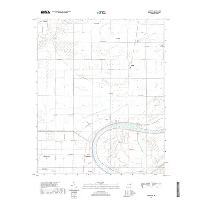 2020 Lakeview2020 Print · USGSThe curve of Old Town Lake dominates this modern study of Phillips County, Arkansas. Genealogists and local historians can locate several family-named burial grounds like Mount Olive Cem and Salem Cem, or trace the rural routes connecting Wabash and Oneida.
 - 2020 Map of Mellwood, 2020 Print
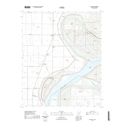 2020 Mellwood2020 Print · USGSThe Mississippi Delta riverfront comes into focus in the early twenty-first century as the river winds past Island Number Sixtyfive. Trace rural settlements like Mellwood and Crumrod or explore the oxbow at Desoto Lake.
 - 2020 Map of Laconia, 2020 Print
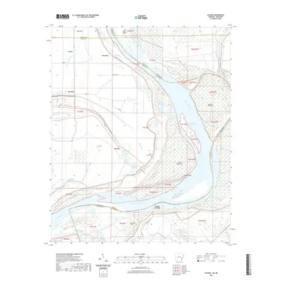 2020 Laconia2020 Print · USGSThe riverfront along the Arkansas-Mississippi border remains a landscape shaped by the river's power and the levee's protection. Researchers can trace local lineage and land use through features like Luke Cem, the settlement of Laconia, and the historical Knowlton Crevasse along the Mississippi River.
 - 2020 Map of West Helena, 2020 Print
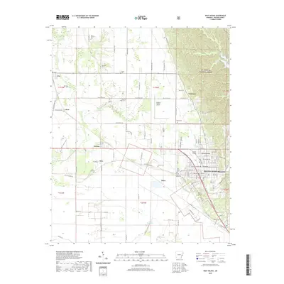 2020 West Helena2020 Print · USGSPhillips County at the start of the 2020s shows a landscape defined by the St. Francis National Forest and the expanding grid of Helena-West Helena. Researchers can trace old rural centers like Lexa and Wycamp or locate family sites like Rindy Grove Cem.
 - 2020 Map of Rena Lara, 2020 Print
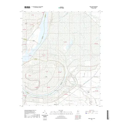 2020 Rena Lara2020 Print · USGSCoahoma County and the Mississippi-Arkansas border appear here during the early twenty-first century as a landscape shaped by the river's ancient meanders. Genealogists and local historians can trace the roads connecting Rena Lara, Hillhouse, and Walnut Grove near the oxbow of Desoto Lake.
 - 2020 Map of Friars Point, 2020 Print
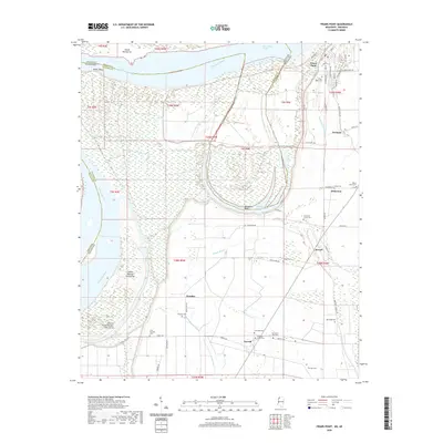 2020 Friars Point2020 Print · USGSThe Mississippi Delta riverfront and its surrounding agricultural hamlets are captured here in the early twenty-first century. Researchers can trace numerous local burial grounds and landings, from Zion Traveler Cem to the waters of Horseshoe Lake and Richies Bayou.
 - 2020 Map of Friars Point NW, 2020 Print
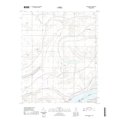 2020 Friars Point NW2020 Print · USGSThe Mississippi Delta riverfront and its shifting state borders are captured here as they appeared in 2020. Researchers can locate family burial sites like Saint Marys Cem and Maney Cem or trace the geography of Preston Place and Friars Point.
 - 2020 Map of Moon Lake, 2020 Print
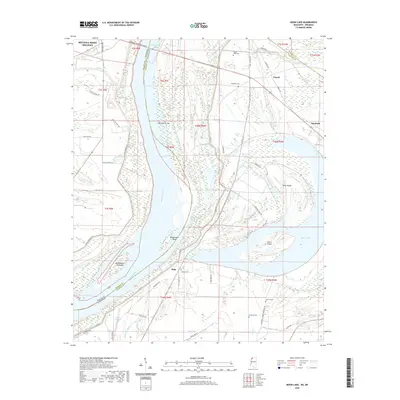 2020 Moon Lake2020 Print · USGSThe Mississippi River forms the winding heart of this Arkansas-Mississippi border region in the early twenty-first century. Family history researchers can trace local landmarks like Delta Cem, Mount Nebo Cem, and the riverfront at Montezuma Bar.
 - 2021 Map of Stubbs Island, 2021 Print
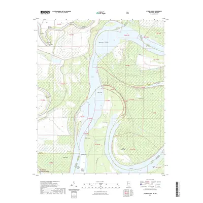 2021 Stubbs Island2021 Print · USGSThe Delta landscape where the Arkansas and Mississippi borders meet is revealed here in its modern riverine state. Researchers can trace the shifting course of the Mississippi River through features like Stubbs Island, Kate Adams Chute, and Bordeaux Point.
 - 2024 Map of Aubrey, 2024 Print
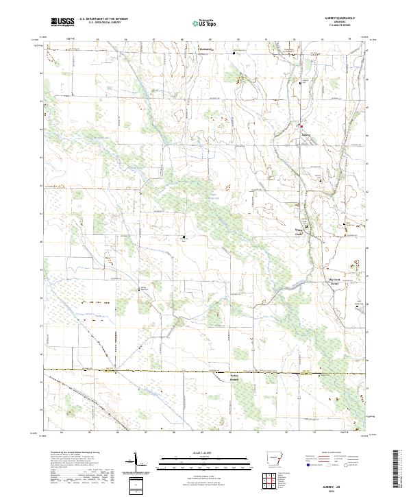 2024 Aubrey2024 Print · USGSThe Arkansas Delta comes into focus in this recent survey of Lee and Phillips counties. Researchers can trace the layout of Aubrey and Turkey Scratch, while locating family history at Spring Creek Cem and Saint Marks Cem.
Showing maps 1-25 of 48
Top cities of Phillips County
- Helena-West Helena historical maps
- Marvell historical maps
- Elaine historical maps
- Lake View historical maps
- Lexa historical maps
Frequently asked questions
- What are the different types of historical maps available for Phillips County?
- What is the oldest map of Phillips County?
- Where can I purchase historical maps of Phillips County for my home or office?
- Where can I download high-res historical maps of Phillips County?
- Are there historical topographic maps available for Phillips County?
- Is there historical aerial imagery available for Phillips County?
- Where are historical maps of Phillips County sourced from?