2000s (21st Century) Maps of Prairie County, Arkansas
Explore 115 historic maps of Prairie County from the 2000s (21st Century). These maps offer a rare glimpse into what life looked like during the 2000s — showing old roads, neighborhoods, homes, and landmarks that have changed or disappeared over time.
Whether you're researching your family's past, planning a metal detecting trip, or studying how Prairie County's landscape evolved across the 2000s, these high-resolution maps are a powerful tool for exploring the history of this region.
- Focus on a specific era: All maps on this page are from the 2000s, giving you a focused view of this time period.
- See what’s changed: Compare century-old streets, trails, and buildings to today's modern landscape using overlays and satellite layers.
- Research with precision: Use these maps for genealogy, historical research, land use analysis, or educational projects.
- View, download, or print: Maps are fully viewable online in high resolution, and can be downloaded or printed for your own records.
Start exploring Prairie County's history through authentic maps from the 2000s. This is your window into the past.
Prairie County, AR maps
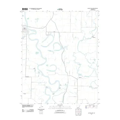
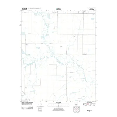
(115)- 2011 Map of Hazen, 2011 Print
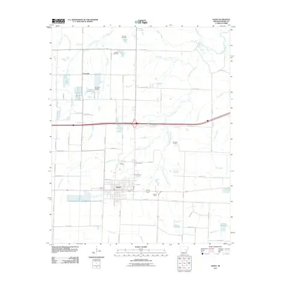 2011 Hazen2011 Print · USGSCovers Prairie County, including Hazen, Tarnceville, and other nearby areas
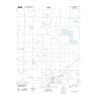
 - 2011 Map of Stuttgart South, 2011 Print
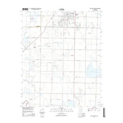
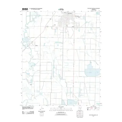 2011 Stuttgart South2011 Print · USGSCovers Prairie County, including Stuttgart, Goldman, and other nearby areas
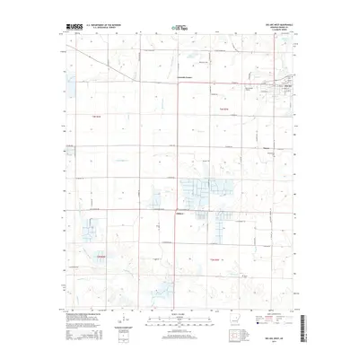
 - 2011 Map of Des Arc West, 2011 Print
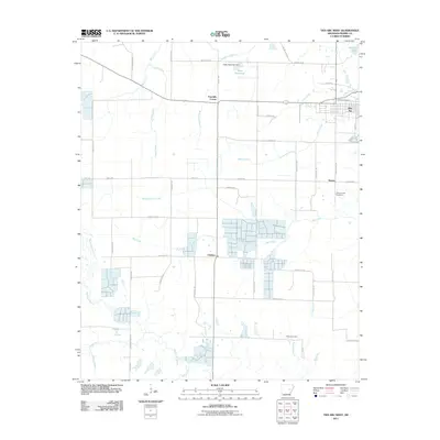 2011 Des Arc West2011 Print · USGSCovers Prairie County, including Des Arc, Childers, and other nearby areas
 - 2011 Map of Carlisle, 2011 Print
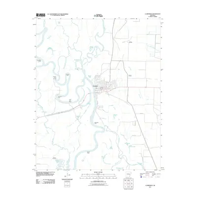
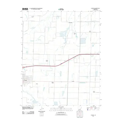 2011 Carlisle2011 Print · USGSCovers Prairie County, including Carlisle, Hazen, and other nearby areas
 - 2011 Map of Stuttgart North, 2011 Print
 2011 Stuttgart North2011 Print · USGSCovers Prairie County, including Stuttgart, Fairmount, and other nearby areas
 - 2011 Map of Humphrey, 2011 Print
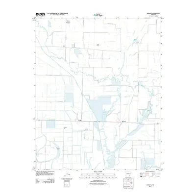
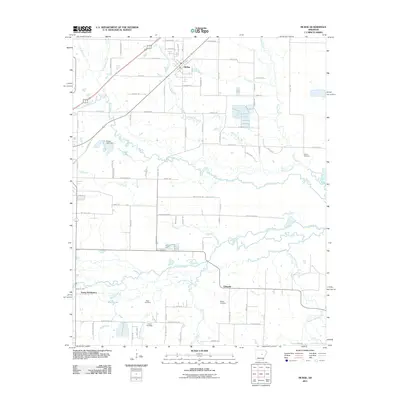
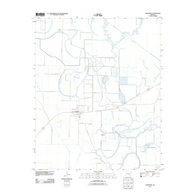 2011 Humphrey2011 Print · USGSCovers Prairie County, including Humphrey, Jefferson County, and other nearby areas
 - 2011 Map of Wattensaw, 2011 Print
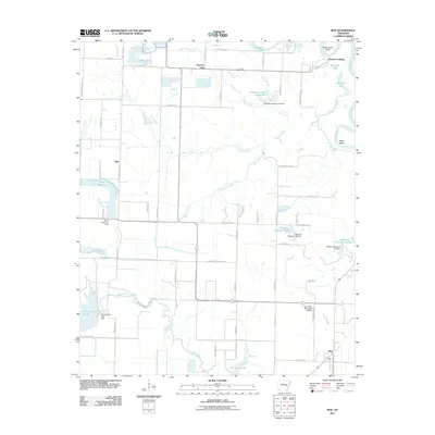
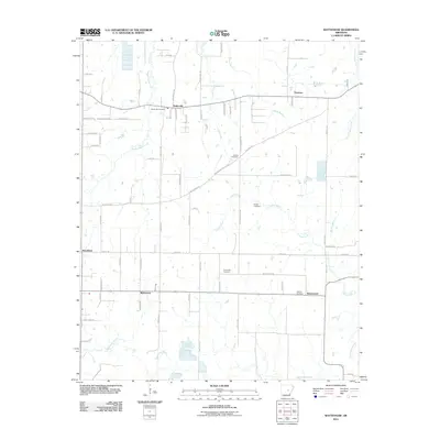 2011 Wattensaw2011 Print · USGSCovers Prairie County, including Thurman, Woodlawn, and other nearby areas
 - 2011 Map of Hickory Plains, 2011 Print
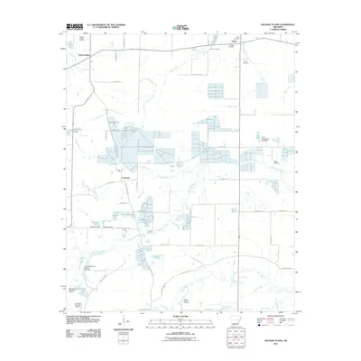 2011 Hickory Plains2011 Print · USGSCovers Prairie County, including Hayley, Hickory Plains, and other nearby areas
 - 2011 Map of Geridge, 2011 Print
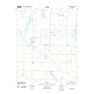
 2011 Geridge2011 Print · USGSCovers Prairie County, including Brummitt, Geridge, and other nearby areas
 - 2011 Map of Clarendon, 2011 Print
 2011 Clarendon2011 Print · USGSCovers Prairie County, including Clarendon, Jeffries, and other nearby areas
 - 2011 Map of Roe, 2011 Print
 2011 Roe2011 Print · USGSCovers Prairie County, including Roe, Peppers Lake, and other nearby areas
 - 2011 Map of Parkers Corner, 2011 Print
 2011 Parkers Corner2011 Print · USGSCovers Prairie County, including Parkers Corner, Lonoke County, and other nearby areas
 - 2011 Map of Des Arc East, 2011 Print
 2011 Des Arc East2011 Print · USGSCovers Prairie County, including Des Arc, Bay Plantation, and other nearby areas
 - 2011 Map of De Valls Bluff NE, 2011 Print
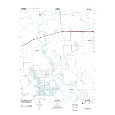
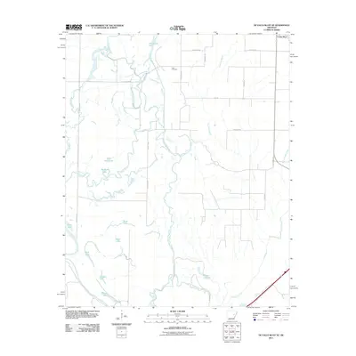 2011 De Valls Bluff NE2011 Print · USGSCovers Prairie County, including Cotton Plant, Woodruff County, and other nearby areas
 - 2011 Map of Slovak, 2011 Print
 2011 Slovak2011 Print · USGSCovers Prairie County, including Siedenstricker, Tollville, and other nearby areas
 - 2011 Map of Ulm, 2011 Print
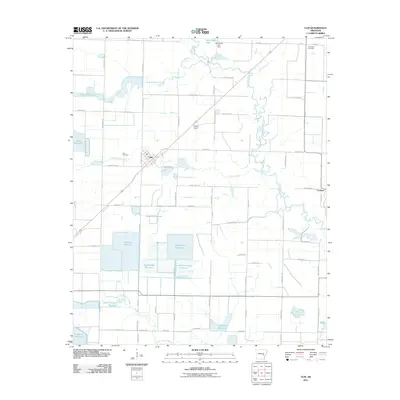 2011 Ulm2011 Print · USGSCovers Prairie County, including Ulm, Lookout, and other nearby areas
 - 2011 Map of De Valls Bluff, 2011 Print
 2011 De Valls Bluff2011 Print · USGSCovers Prairie County, including Hazen, De Valls Bluff, and other nearby areas
 - 2011 Map of De Valls Bluff SE, 2011 Print
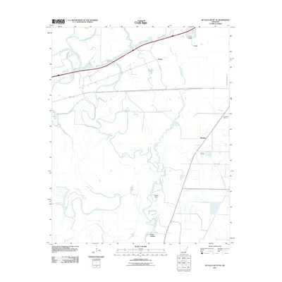 2011 De Valls Bluff SE2011 Print · USGSCovers Prairie County, including Allendale, Eden, and other nearby areas
 - 2011 Map of Cotton Plant, 2011 Print
 2011 Cotton Plant2011 Print · USGSCovers Prairie County, including Cotton Plant, Dixie, and other nearby areas
 - 2011 Map of Jasmine, 2011 Print
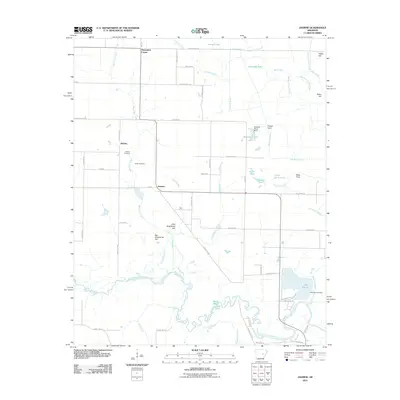 2011 Jasmine2011 Print · USGSCovers Prairie County, including Belcher, Showalters Corner, and other nearby areas
 - 2011 Map of Walker, 2011 Print
 2011 Walker2011 Print · USGSCovers Prairie County, including Griffithville, Walker, and other nearby areas
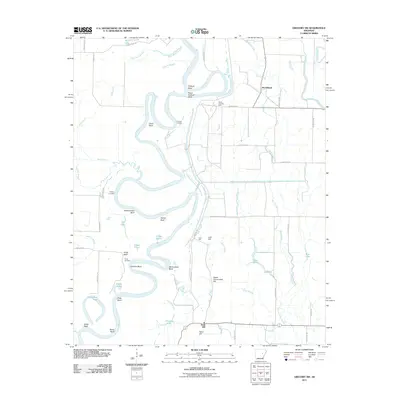
 - 2011 Map of Gregory SW, 2011 Print
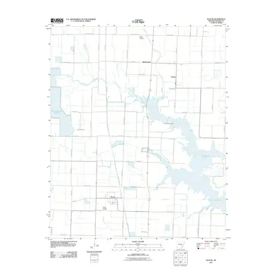
 2011 Gregory SW2011 Print · USGSCovers Prairie County, including Georgetown, Sand Hill, and other nearby areas
 - 2011 Map of McRae, 2011 Print
 2011 McRae2011 Print · USGSCovers Prairie County, including Beebe, McRae, and other nearby areas
 - 2014 Map of Des Arc West, 2014 Print
 2014 Des Arc West2014 Print · USGSCovers Prairie County, including Des Arc, Childers, and other nearby areas
 - 2014 Map of Stuttgart South, 2014 Print
 2014 Stuttgart South2014 Print · USGSCovers Prairie County, including Stuttgart, Goldman, and other nearby areas
Showing maps 1-25 of 115
Top cities of Prairie County
- Des Arc historical maps
- Hazen historical maps
- De Valls Bluff historical maps
- Fredonia (Biscoe) historical maps
- Ulm historical maps
Frequently asked questions
- What are the different types of historical maps available for Prairie County?
- What is the oldest map of Prairie County?
- Where can I purchase historical maps of Prairie County for my home or office?
- Where can I download high-res historical maps of Prairie County?
- Are there historical topographic maps available for Prairie County?
- Is there historical aerial imagery available for Prairie County?
- Where are historical maps of Prairie County sourced from?