2000s (21st Century) Maps of St. Francis County, Arkansas
Explore 105 historic maps of St. Francis County from the 2000s (21st Century). These maps offer a rare glimpse into what life looked like during the 2000s — showing old roads, neighborhoods, homes, and landmarks that have changed or disappeared over time.
Whether you're researching your family's past, planning a metal detecting trip, or studying how St. Francis County's landscape evolved across the 2000s, these high-resolution maps are a powerful tool for exploring the history of this region.
- Focus on a specific era: All maps on this page are from the 2000s, giving you a focused view of this time period.
- See what’s changed: Compare century-old streets, trails, and buildings to today's modern landscape using overlays and satellite layers.
- Research with precision: Use these maps for genealogy, historical research, land use analysis, or educational projects.
- View, download, or print: Maps are fully viewable online in high resolution, and can be downloaded or printed for your own records.
Start exploring St. Francis County's history through authentic maps from the 2000s. This is your window into the past.
St. Francis County, AR maps
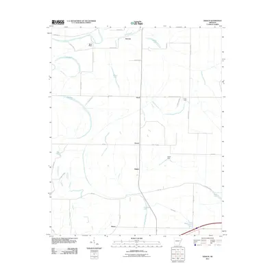
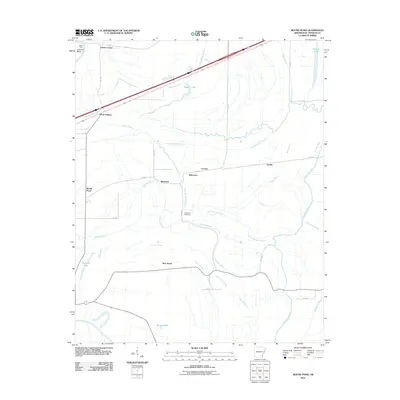
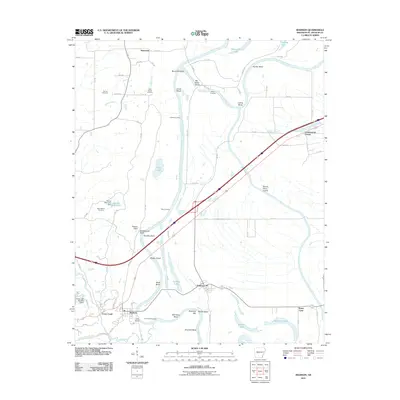
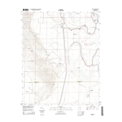
(105)- 2011 Map of Brinkley, 2011 Print
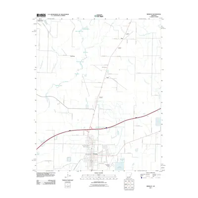 2011 Brinkley2011 Print · USGSCovers St. Francis County, including Brinkley, Cotton Plant, and other nearby areas
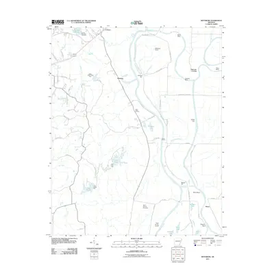
 - 2011 Map of Wheatley, 2011 Print
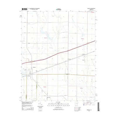
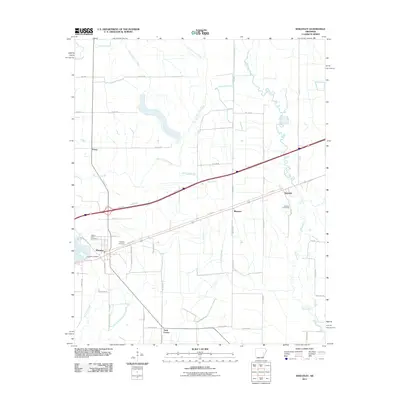 2011 Wheatley2011 Print · USGSCovers St. Francis County, including Wheatley, Nash Corner, and other nearby areas
 - 2011 Map of Dansby, 2011 Print
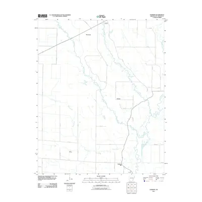
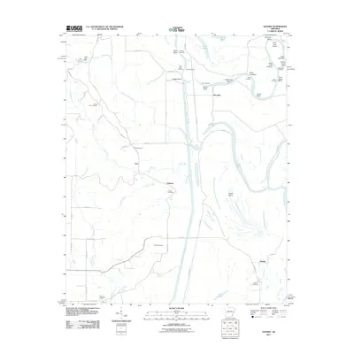 2011 Dansby2011 Print · USGSCovers St. Francis County, including Tuni, Riverside, and other nearby areas
 - 2011 Map of Hughes, 2011 Print
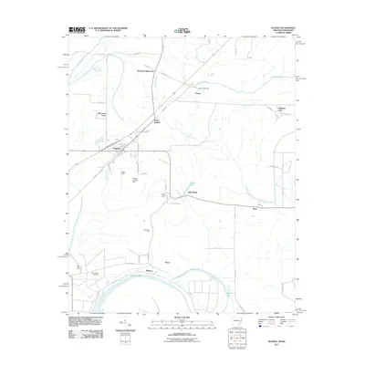 2011 Hughes2011 Print · USGSCovers St. Francis County, including Hughes, North Hughes, and other nearby areas
 - 2011 Map of Garrett Grove, 2011 Print
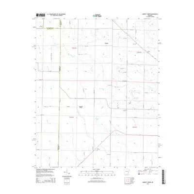
 2011 Garrett Grove2011 Print · USGSCovers St. Francis County, including Garrett Grove, Hopper, and other nearby areas
 - 2011 Map of Palestine, 2011 Print
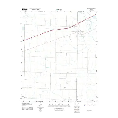 2011 Palestine2011 Print · USGSCovers St. Francis County, including Palestine, New Salem, and other nearby areas
 - 2011 Map of Haynes, 2011 Print
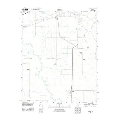 2011 Haynes2011 Print · USGSCovers St. Francis County, including Forrest City, Haynes, and other nearby areas
 - 2011 Map of Mud Lake, 2011 Print
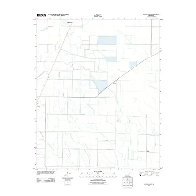
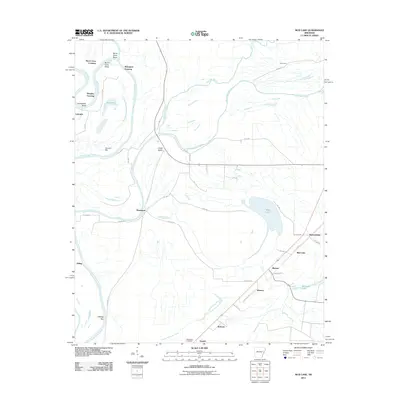 2011 Mud Lake2011 Print · USGSCovers St. Francis County, including Rawlinson, Shannondale, and other nearby areas
 - 2011 Map of Hunter East, 2011 Print
 2011 Hunter East2011 Print · USGSCovers St. Francis County, including Hunter, Hillemann, and other nearby areas
 - 2011 Map of Fair Oaks, 2011 Print
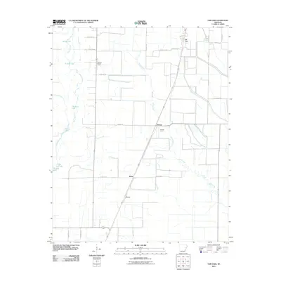 2011 Fair Oaks2011 Print · USGSCovers St. Francis County, including Barson, Fair Oaks, and other nearby areas
 - 2011 Map of Hunter West, 2011 Print
 2011 Hunter West2011 Print · USGSCovers St. Francis County, including Cotton Plant, Hunter, and other nearby areas
 - 2011 Map of Gieseck, 2011 Print
 2011 Gieseck2011 Print · USGSCovers St. Francis County, including Parkin, Gladden, and other nearby areas
 - 2011 Map of Hamlin, 2011 Print
 2011 Hamlin2011 Print · USGSCovers St. Francis County, including Pinetree, Wick Mill, and other nearby areas
 - 2011 Map of Wynne, 2011 Print
 2011 Wynne2011 Print · USGSCovers St. Francis County, including Wynne, Colt, and other nearby areas
 - 2011 Map of Chatfield, 2011 Print
 2011 Chatfield2011 Print · USGSCovers St. Francis County, including Browns, Wildwood, and other nearby areas
 - 2011 Map of Jeanette, 2011 Print
 2011 Jeanette2011 Print · USGSCovers St. Francis County, including Jennette, Shell Lake, and other nearby areas
 - 2011 Map of Round Pond, 2011 Print
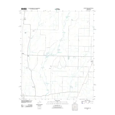
 2011 Round Pond2011 Print · USGSCovers St. Francis County, including Hicks Station, Whitmore, and other nearby areas
 - 2011 Map of Madison, 2011 Print
 2011 Madison2011 Print · USGSCovers St. Francis County, including Forrest City, Madison, and other nearby areas
 - 2011 Map of Wittsburg, 2011 Print
 2011 Wittsburg2011 Print · USGSCovers St. Francis County, including Levesque, Kinton, and other nearby areas
 - 2011 Map of Forrest City, 2011 Print
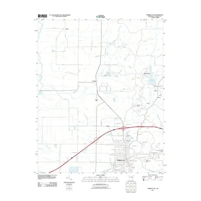 2011 Forrest City2011 Print · USGSCovers St. Francis County, including Forrest City, Madison, and other nearby areas
 - 2011 Map of Hawkins, 2011 Print
 2011 Hawkins2011 Print · USGSCovers St. Francis County, including Slonikers Mill, Macedonia, and other nearby areas
 - 2014 Map of Brinkley, 2014 Print
 2014 Brinkley2014 Print · USGSCovers St. Francis County, including Brinkley, Cotton Plant, and other nearby areas
 - 2014 Map of Garrett Grove, 2014 Print
 2014 Garrett Grove2014 Print · USGSCovers St. Francis County, including Garrett Grove, Hopper, and other nearby areas
 - 2014 Map of Wheatley, 2014 Print
 2014 Wheatley2014 Print · USGSCovers St. Francis County, including Wheatley, Nash Corner, and other nearby areas
 - 2014 Map of Dansby, 2014 Print
 2014 Dansby2014 Print · USGSCovers St. Francis County, including Tuni, Riverside, and other nearby areas
Showing maps 1-25 of 105
Top cities of St. Francis County
- Forrest City historical maps
- Hughes historical maps
- Madison historical maps
- Palestine historical maps
- Caldwell historical maps
- Colt historical maps
See more
Frequently asked questions
- What are the different types of historical maps available for St. Francis County?
- What is the oldest map of St. Francis County?
- Where can I purchase historical maps of St. Francis County for my home or office?
- Where can I download high-res historical maps of St. Francis County?
- Are there historical topographic maps available for St. Francis County?
- Is there historical aerial imagery available for St. Francis County?
- Where are historical maps of St. Francis County sourced from?