2020s Maps of St. Francis County, Arkansas
Explore 42 historic maps of St. Francis County from the 2020s. These maps offer a rare glimpse into what life looked like during the 2020s — showing old roads, neighborhoods, homes, and landmarks that have changed or disappeared over time.
Whether you're researching your family's past, planning a metal detecting trip, or studying how St. Francis County's landscape evolved across the 2020s, these high-resolution maps are a powerful tool for exploring the history of this region.
- Focus on a specific era: All maps on this page are from the 2020s, giving you a focused view of this time period.
- See what’s changed: Compare century-old streets, trails, and buildings to today's modern landscape using overlays and satellite layers.
- Research with precision: Use these maps for genealogy, historical research, land use analysis, or educational projects.
- View, download, or print: Maps are fully viewable online in high resolution, and can be downloaded or printed for your own records.
Start exploring St. Francis County's history through authentic maps from the 2020s. This is your window into the past.
St. Francis County, AR maps
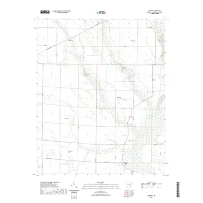
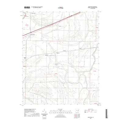
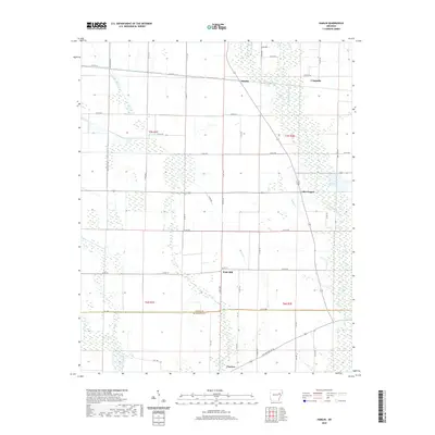
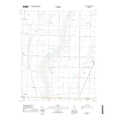
(42)- 2020 Map of Dansby, 2020 Print
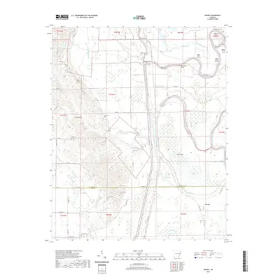 2020 Dansby2020 Print · USGSCovers St. Francis County, including Tuni, Riverside, and other nearby areas
 - 2020 Map of Palestine, 2020 Print
 2020 Palestine2020 Print · USGSCovers St. Francis County, including Palestine, New Salem, and other nearby areas
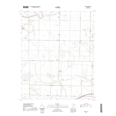
 - 2020 Map of Haynes, 2020 Print
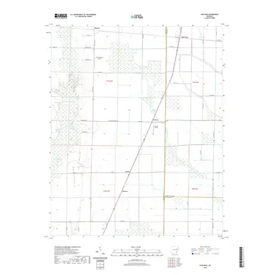
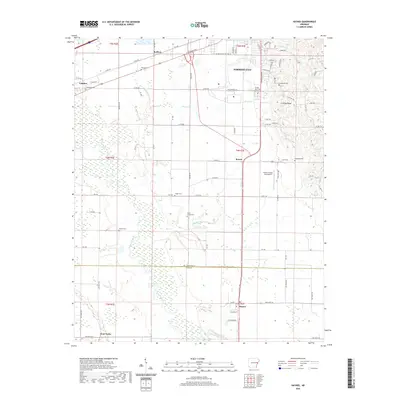 2020 Haynes2020 Print · USGSCovers St. Francis County, including Forrest City, Haynes, and other nearby areas
 - 2020 Map of Garrett Grove, 2020 Print
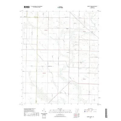 2020 Garrett Grove2020 Print · USGSCovers St. Francis County, including Garrett Grove, Hopper, and other nearby areas
 - 2020 Map of Brinkley, 2020 Print
 2020 Brinkley2020 Print · USGSCovers St. Francis County, including Brinkley, Cotton Plant, and other nearby areas
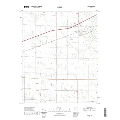
 - 2020 Map of Wheatley, 2020 Print
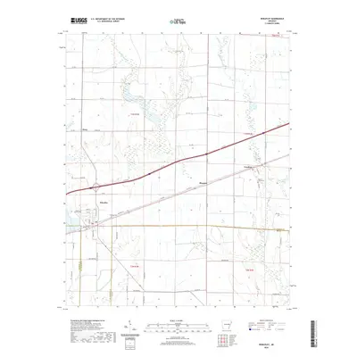 2020 Wheatley2020 Print · USGSCovers St. Francis County, including Wheatley, Nash Corner, and other nearby areas
 - 2020 Map of Hawkins, 2020 Print
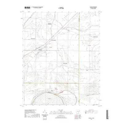
 2020 Hawkins2020 Print · USGSCovers St. Francis County, including Slonikers Mill, Macedonia, and other nearby areas
 - 2020 Map of Forrest City, 2020 Print
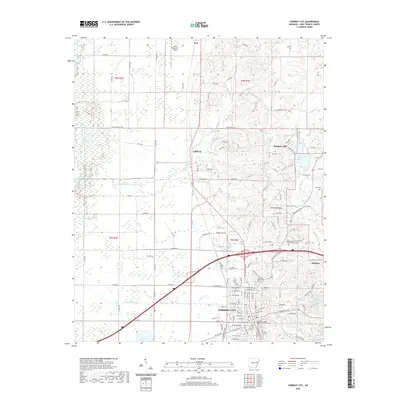 2020 Forrest City2020 Print · USGSCovers St. Francis County, including Forrest City, Madison, and other nearby areas
 - 2020 Map of Wittsburg, 2020 Print
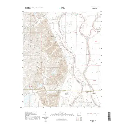 2020 Wittsburg2020 Print · USGSCovers St. Francis County, including Levesque, Kinton, and other nearby areas
 - 2020 Map of Chatfield, 2020 Print
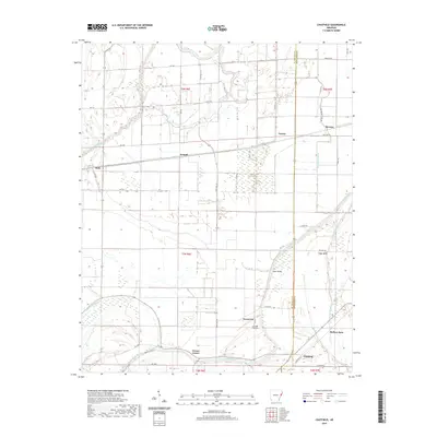 2020 Chatfield2020 Print · USGSCovers St. Francis County, including Browns, Wildwood, and other nearby areas
 - 2020 Map of Jeanette, 2020 Print
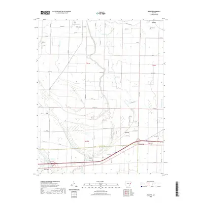 2020 Jeanette2020 Print · USGSCovers St. Francis County, including Jennette, Shell Lake, and other nearby areas
 - 2020 Map of Wynne, 2020 Print
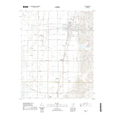 2020 Wynne2020 Print · USGSCovers St. Francis County, including Wynne, Colt, and other nearby areas
 - 2020 Map of Madison, 2020 Print
 2020 Madison2020 Print · USGSCovers St. Francis County, including Forrest City, Madison, and other nearby areas
 - 2020 Map of Round Pond, 2020 Print
 2020 Round Pond2020 Print · USGSCovers St. Francis County, including Hicks Station, Whitmore, and other nearby areas
 - 2020 Map of Gieseck, 2020 Print
 2020 Gieseck2020 Print · USGSCovers St. Francis County, including Parkin, Gladden, and other nearby areas
 - 2020 Map of Hamlin, 2020 Print
 2020 Hamlin2020 Print · USGSCovers St. Francis County, including Pinetree, Wick Mill, and other nearby areas
 - 2020 Map of Hunter East, 2020 Print
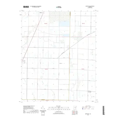 2020 Hunter East2020 Print · USGSCovers St. Francis County, including Hunter, Hillemann, and other nearby areas
 - 2020 Map of Hunter West, 2020 Print
 2020 Hunter West2020 Print · USGSCovers St. Francis County, including Cotton Plant, Hunter, and other nearby areas
 - 2020 Map of Fair Oaks, 2020 Print
 2020 Fair Oaks2020 Print · USGSCovers St. Francis County, including Barson, Fair Oaks, and other nearby areas
 - 2020 Map of Mud Lake, 2020 Print
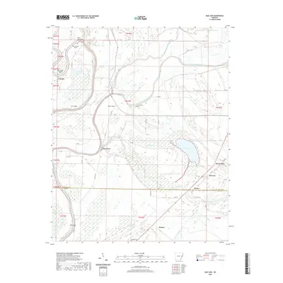 2020 Mud Lake2020 Print · USGSCovers St. Francis County, including Rawlinson, Shannondale, and other nearby areas
 - 2020 Map of Hughes, 2020 Print
 2020 Hughes2020 Print · USGSCovers St. Francis County, including Hughes, North Hughes, and other nearby areas
 - 2024 Map of Haynes, 2024 Print
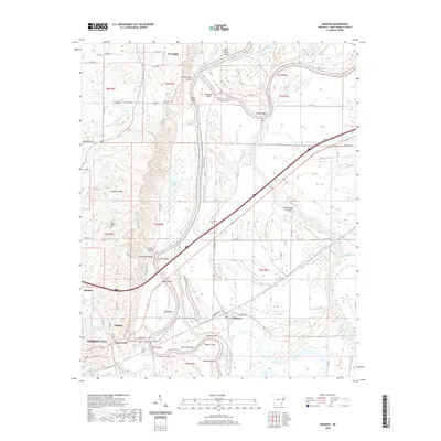
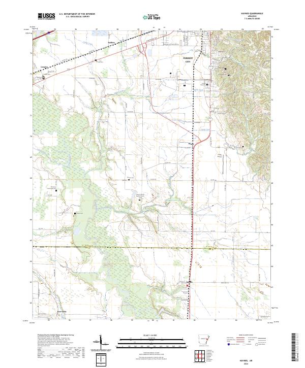 2024 Haynes2024 Print · USGSThe border of St. Francis and Lee counties in eastern Arkansas is shown here in the 2020s, dominated by the rise of Crowley's Ridge. Researchers can find numerous small burial sites like Yocona Cemetery and Elcana Cemetery or trace the L'Anguille River and Candy Creek through the Delta landscape.
 - 2024 Map of Dansby, 2024 Print
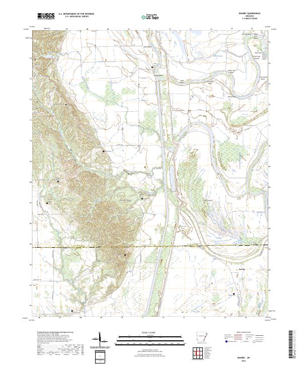 2024 Dansby2024 Print · USGSSt. Francis and Lee Counties are shown here during the early twenty-first century, where the meandering river and the rise of the ridge meet. Genealogists can locate numerous rural burial sites including Dansby Cem, Shady Grove Cem, and Casteel Cem.
 - 2024 Map of Palestine, 2024 Print
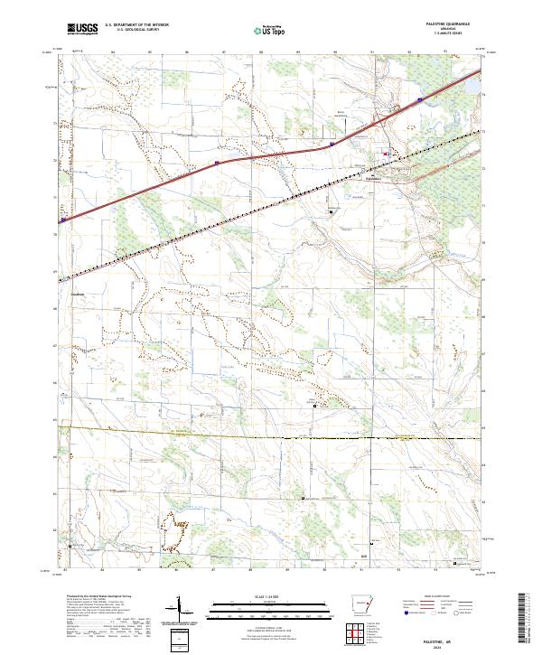 2024 Palestine2024 Print · USGSPalestine and the surrounding Delta farm country are captured here in the early twenty-first century as the region continues its long agricultural tradition. Genealogists and local historians can locate numerous small burial sites like Union Hill Cem and Martin Cem, or trace the paths of Larkin Creek and the L'Anguille River.
 - 2024 Map of Fair Oaks, 2024 Print
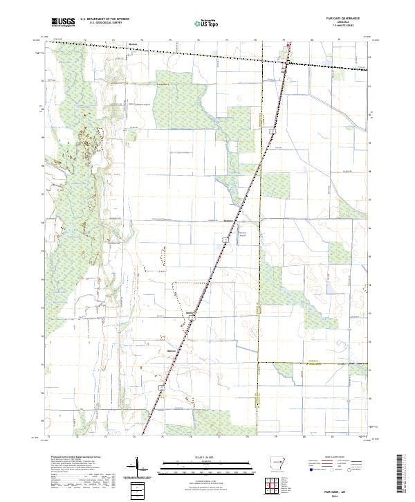 2024 Fair Oaks2024 Print · USGSEastern Arkansas at the edge of the Mississippi Delta is captured here, showing the intersection of heavy river bottomlands and high-yield farmland. Researchers can trace rural settlement patterns near Fair Oaks and Penrose or locate remote landmarks like Big Jack Lake.
Showing maps 1-25 of 42
Top cities of St. Francis County
- Forrest City historical maps
- Hughes historical maps
- Madison historical maps
- Palestine historical maps
- Caldwell historical maps
- Colt historical maps
See more
Frequently asked questions
- What are the different types of historical maps available for St. Francis County?
- What is the oldest map of St. Francis County?
- Where can I purchase historical maps of St. Francis County for my home or office?
- Where can I download high-res historical maps of St. Francis County?
- Are there historical topographic maps available for St. Francis County?
- Is there historical aerial imagery available for St. Francis County?
- Where are historical maps of St. Francis County sourced from?